Maps
- Part Of
- Gilean Douglas fonds
- Description Level
- Series
- Material Type
- cartographic material
- graphic material
- Date Range
- 1929; [194?]-1979
- Scope and Content
- Series consists of maps of British Columbia showing land use and topography, and pictorial maps showing the history and literature of Canada.
- Other Title Info
- Title based on contents of the series.
- Part Of
- Gilean Douglas fonds
- Description Level
- Series
- Fonds Number
- 1999.001
- Series Number
- 16
- Material Type
- cartographic material
- graphic material
- Date Range
- 1929; [194?]-1979
- Physical Description
- 8 maps
- Scope and Content
- Series consists of maps of British Columbia showing land use and topography, and pictorial maps showing the history and literature of Canada.
- Storage Range
- 6-26 - 6-27; map box
- Name Access
- Douglas, Gilean
- Geographic Access
- Cortes Island
Show less information
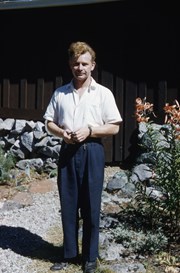
Rev. Trefor Williams of the Columbia Coast Mission
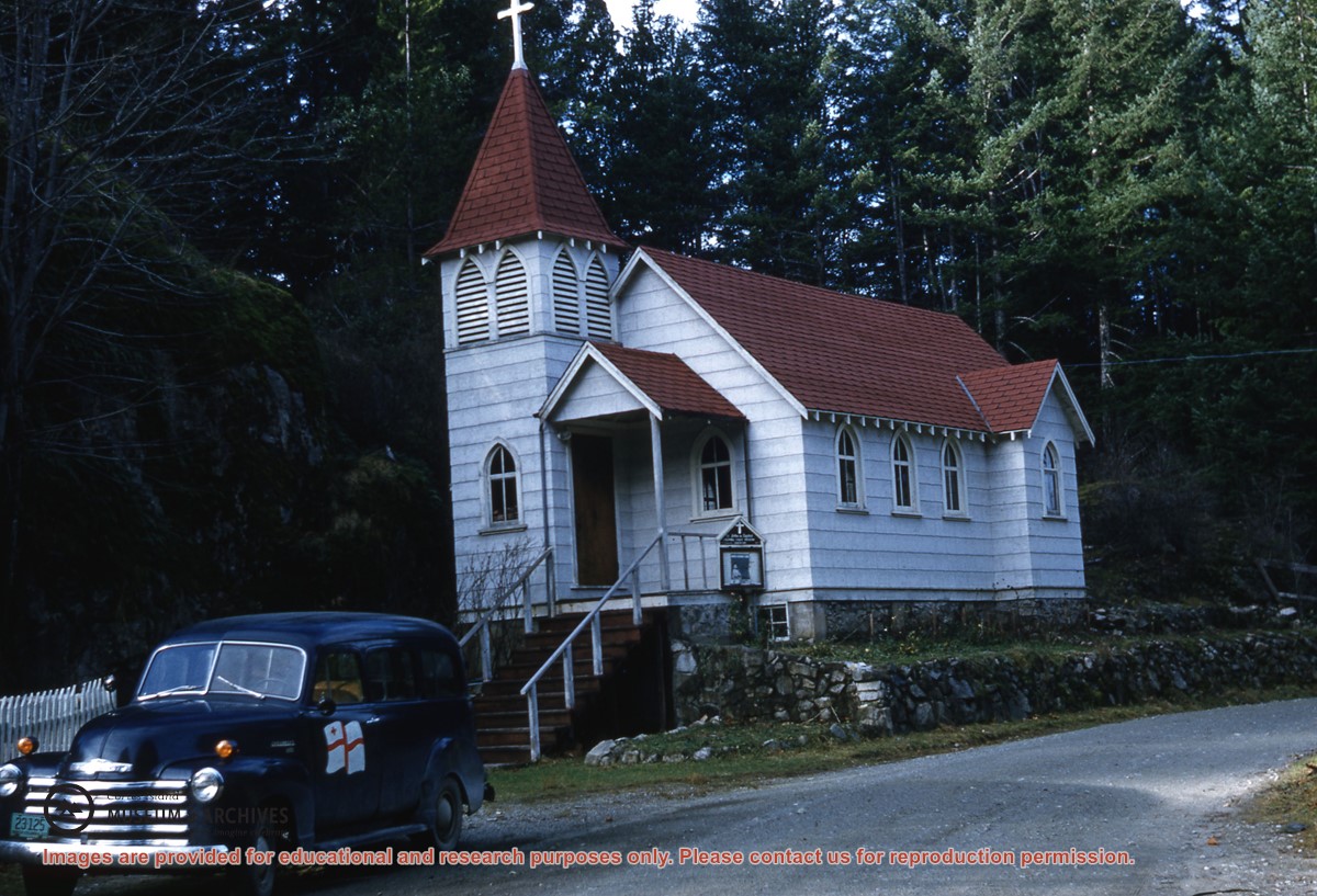
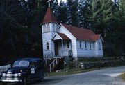
Whaletown church with the Columbia Coast Mission car parked in front
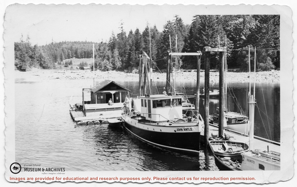
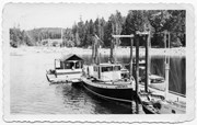
The Columbia Coast Mission boat "John Antle" tied up at the Whaletown dock; the fish scow is behind it.
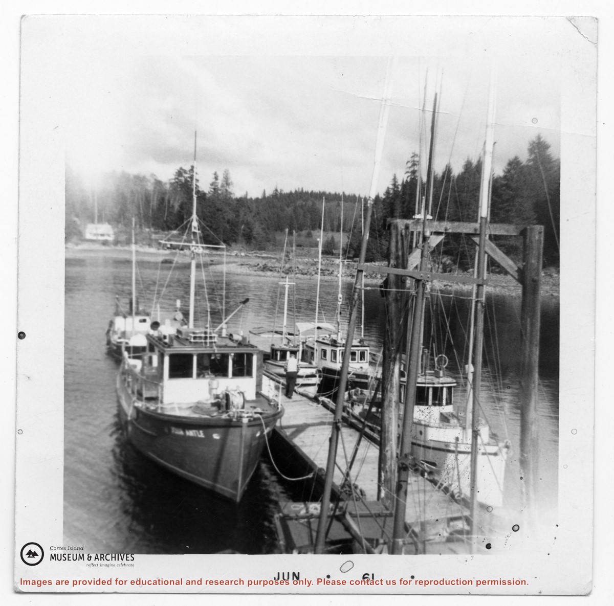
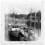
The Columbia Coast Mission boat "John Antle" and fish boats tied up at the Whaletown dock
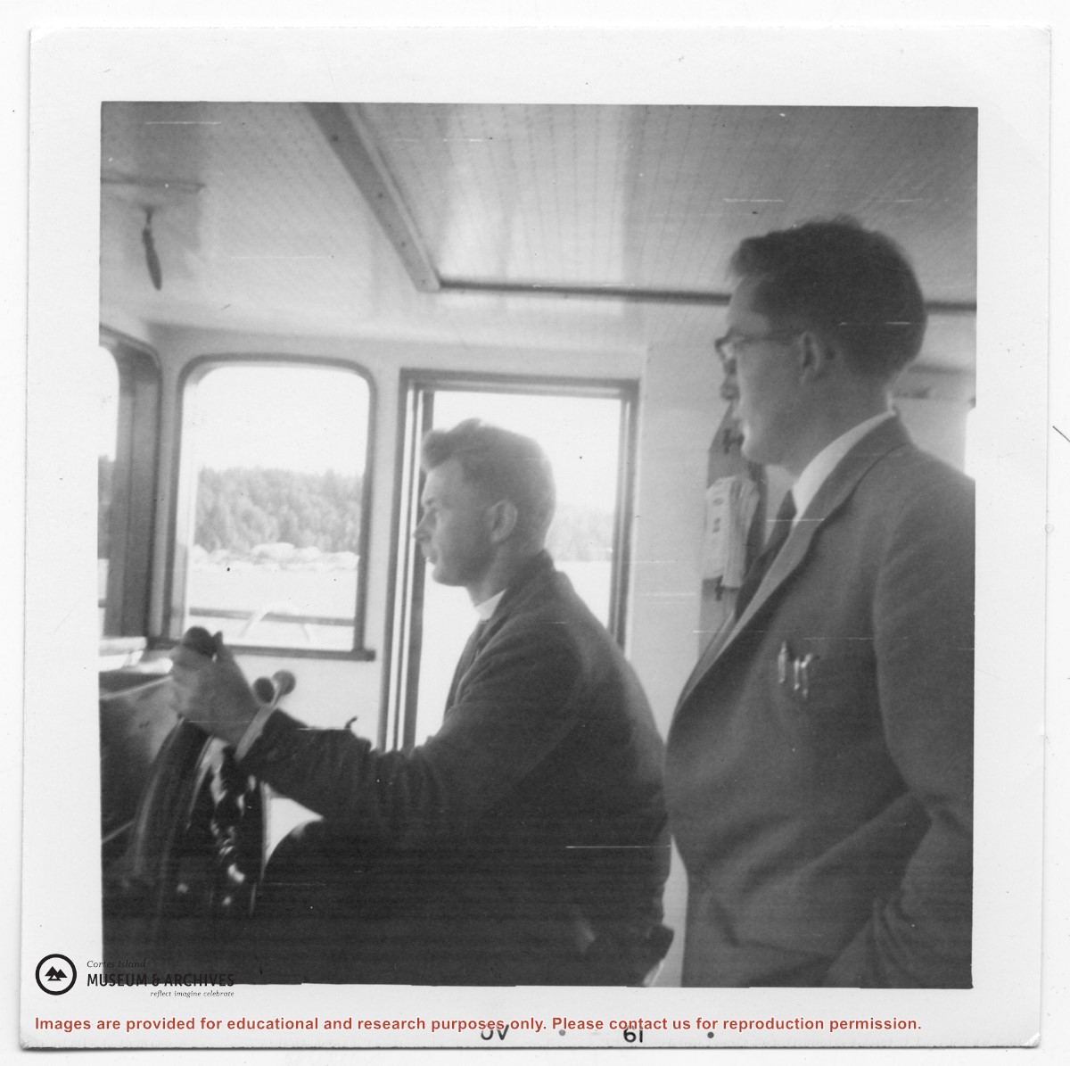
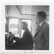
Trefor Williams (L) of the Columbia Coast Mission, and (likely) Dr. Hall, in the wheelhouse of the "John Antle"
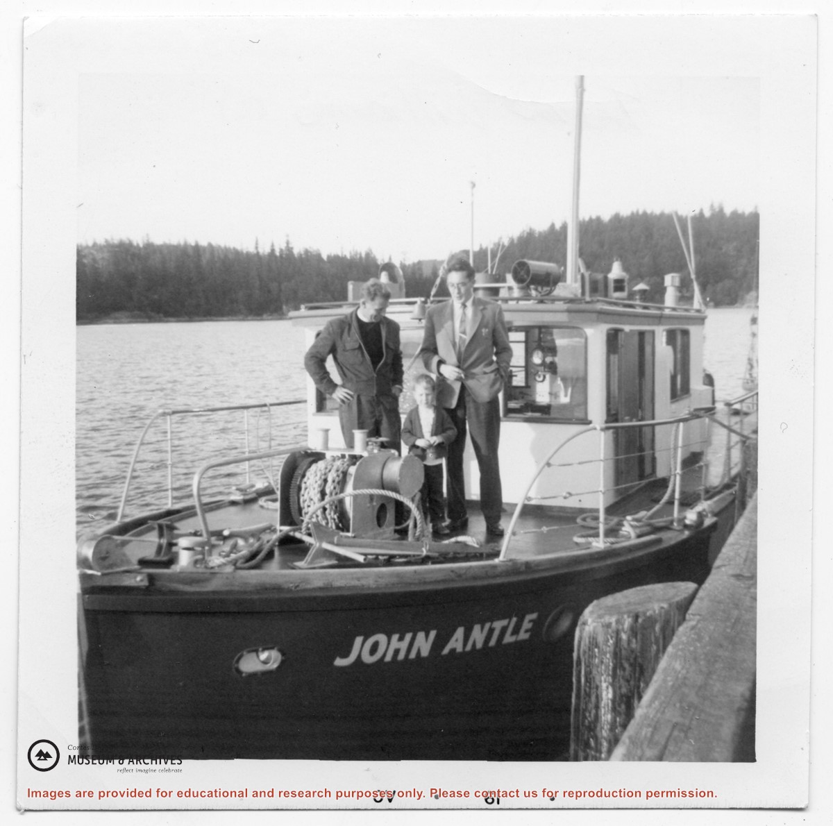
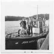
Trefor Williams (L) of the Columbia Coast Mission, his son Stephen, and (likely) Dr. Hall, on the deck of the Columbia Coast Mission boat "John Antle"
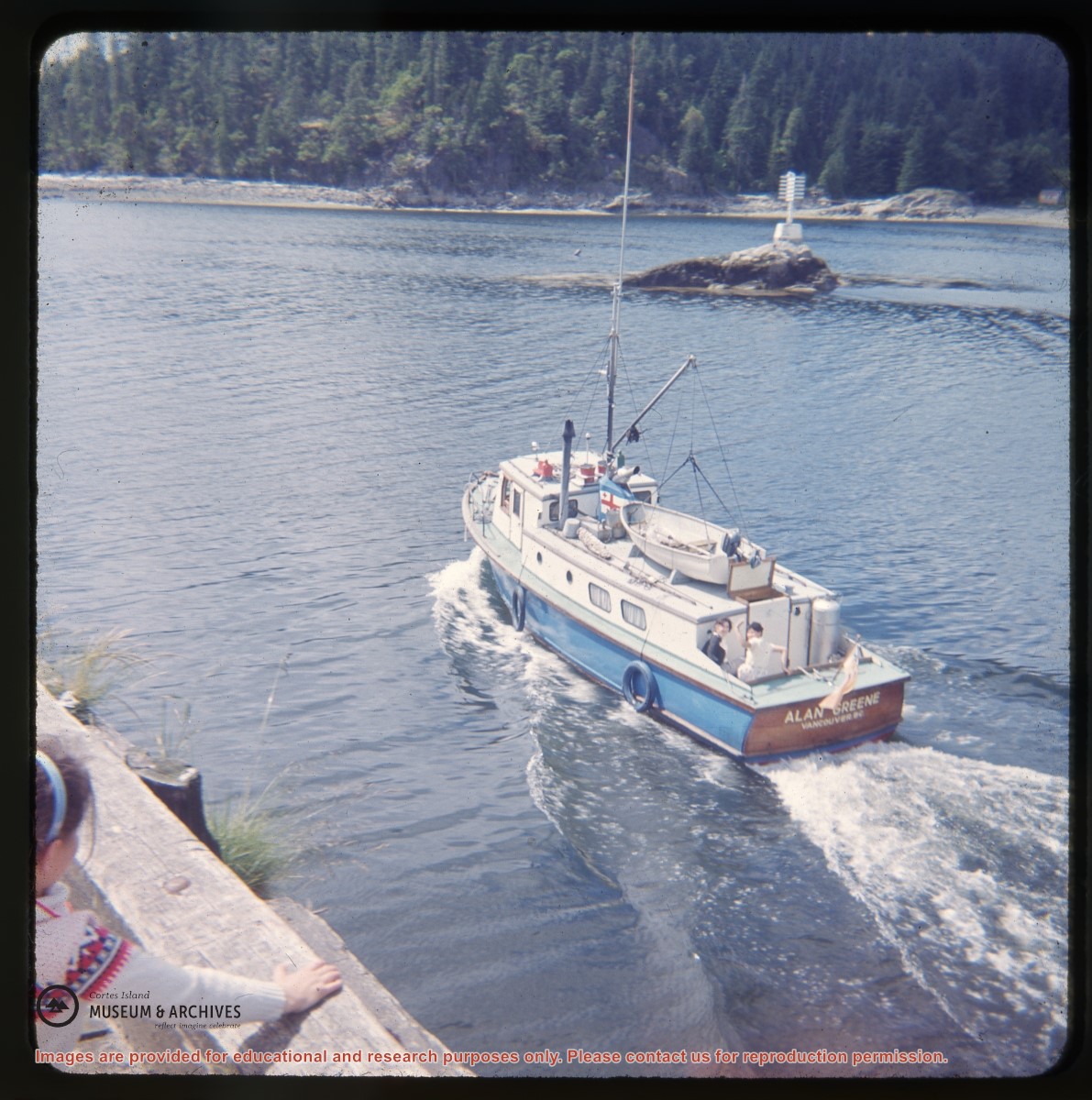
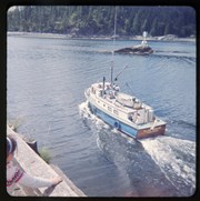
The Columbia Coast Mission boat "Alan Greene" leaving Whaletown Bay
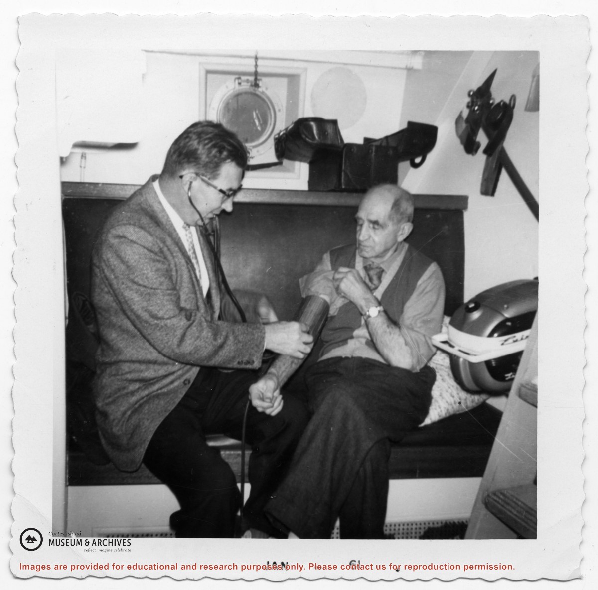
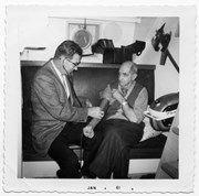
Dr. Hall with a patient on the deck of a Columbia Coast Mission ship
A walk up past the Highways Department shed
A walk up past the Highways Department shed
- Part Of
- Cortes Walking Group fonds
- Description Level
- Item
- Material Type
- graphic material
- Date Range
- 2011
- Scope and Content
- Caption: "Kate carried Fergus in the backpack"