"1:10,000 Composite Mapping for Planning Department of RDCS"
- Part Of
- Regional Director of Area I (Cortes Island) fonds
- Description Level
- File
- Material Type
- textual records
- cartographic material
- Accession Number
- 2004.004
- Date Range
- [198?]
- Scope and Content
- File contains one book of composite maps of Cortes Island properties in a cerlox binding.
"1:10,000 Composite Mapping for Planning Department of RDCS, June 1987"
- Part Of
- Regional Director of Area I (Cortes Island) fonds
- Description Level
- File
- Material Type
- textual records
- cartographic material
- Accession Number
- 2004.004
- Date Range
- 1987
- Scope and Content
- File contains one book of composite maps of Cortes Island properties in a cerlox binding.
"1:10,000 Composite Mapping for Planning Department of RDCS, September 1990"
- Part Of
- Regional Director of Area I (Cortes Island) fonds
- Description Level
- File
- Material Type
- textual records
- cartographic material
- Accession Number
- 2004.004
- Date Range
- 1990
- Scope and Content
- File contains one book of composite maps of Cortes Island properties in a cerlox binding, with annotations.
"A Cortes Island History of the Huck Family and of the NE 1/4 Section 40, Green Valley"
- Part Of
- May and Elmer Ellingsen fonds
- Description Level
- File
- Material Type
- textual records
- Accession Number
- 2017.003
- Date Range
- 1999
- Scope and Content
- Written by Doreen Thompson.
Advisory Planning Commission questionnaire
- Part Of
- Gilean Douglas fonds
- Description Level
- File
- Material Type
- textual records
- Date Range
- 1975
- Scope and Content
- Questionnaire undertaken by the APC as part of the preparation of the first Official Settlement Plan
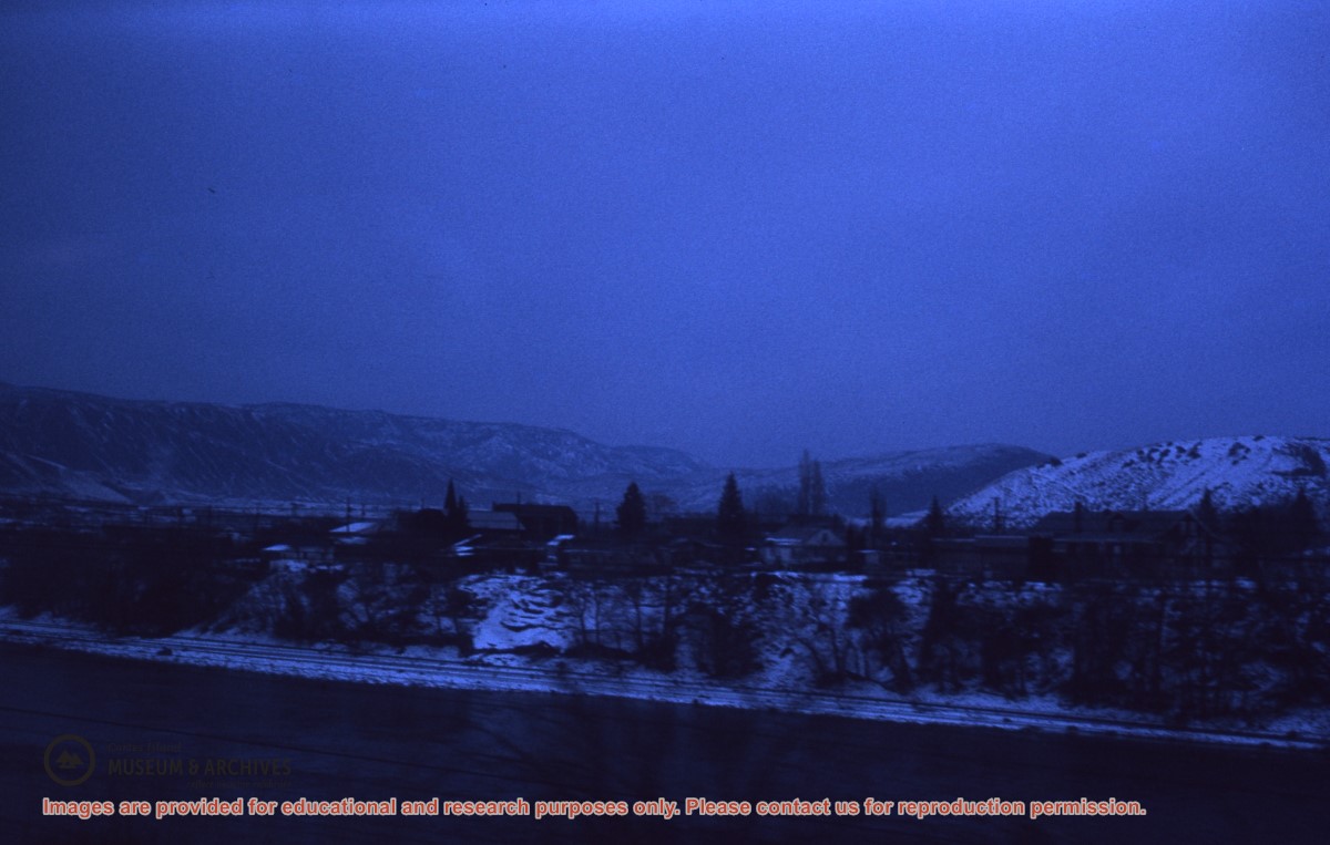
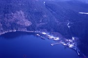
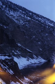
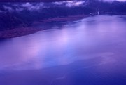
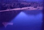
Aerial view of a snowy shoreline at dusk
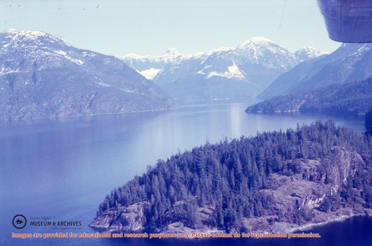
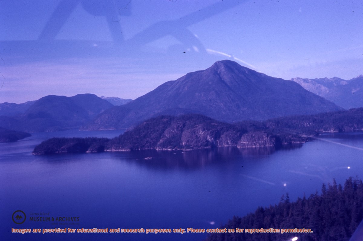
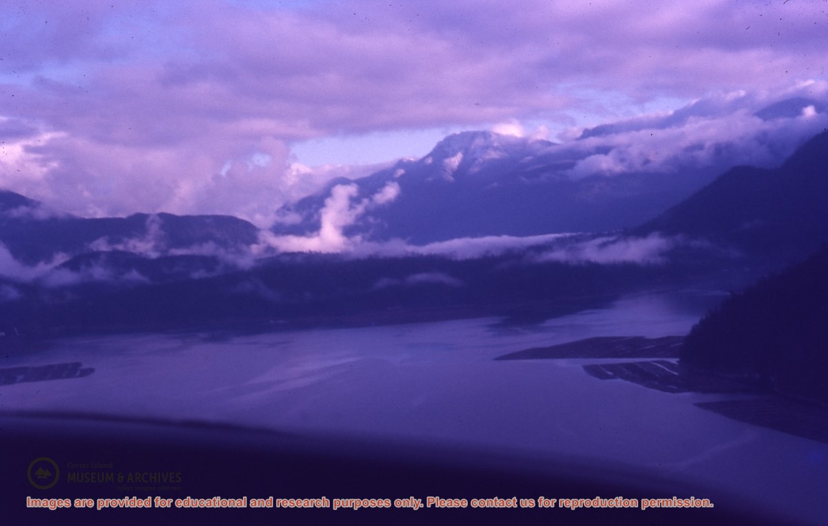
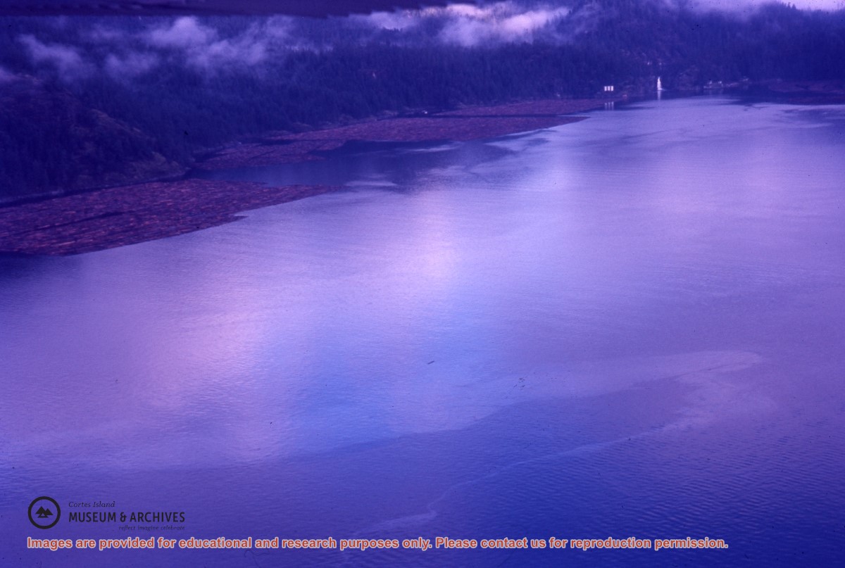
Aerial view of Bute Inlet
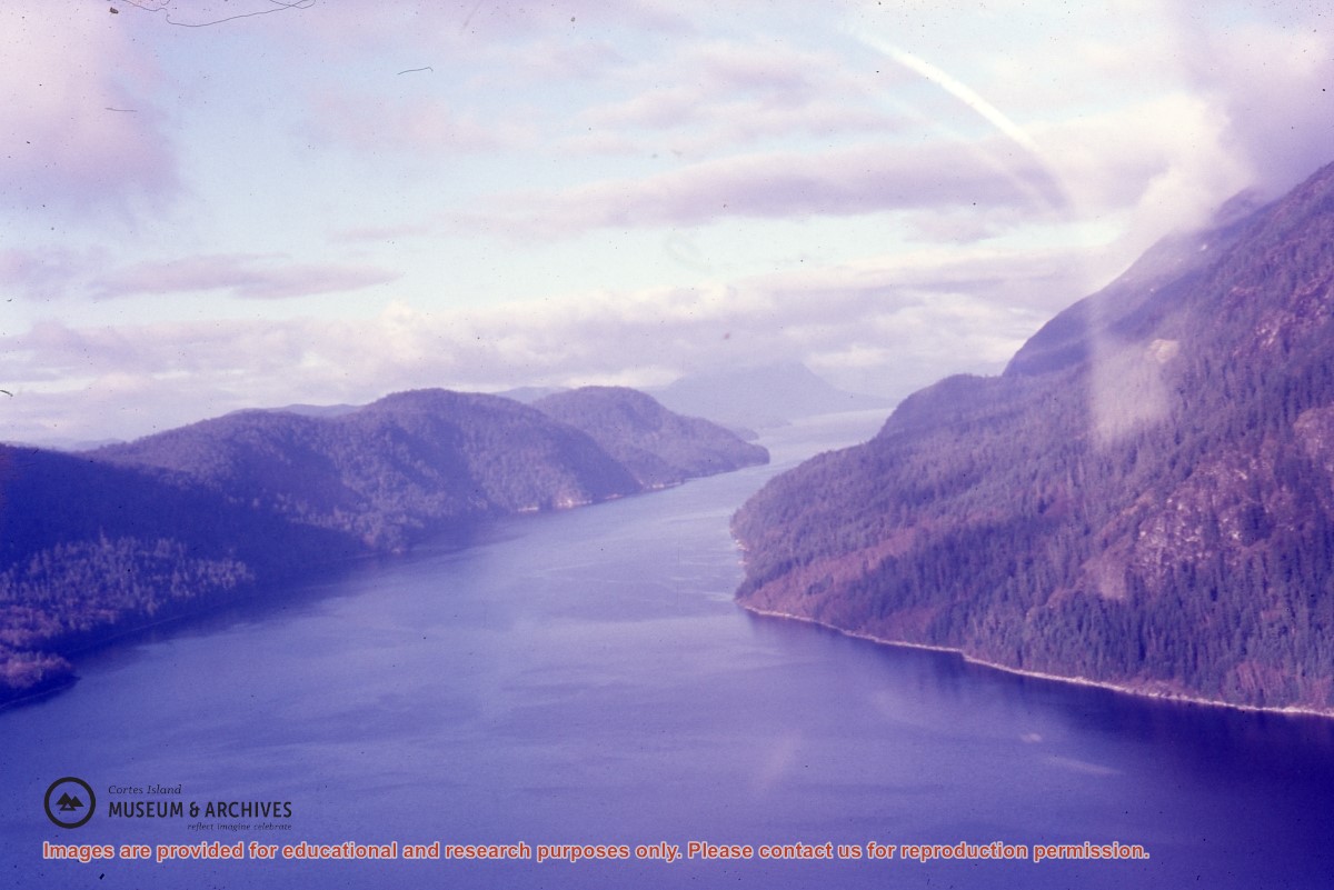
Aerial view of Jervis Inlet
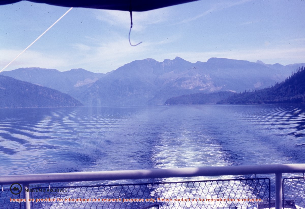
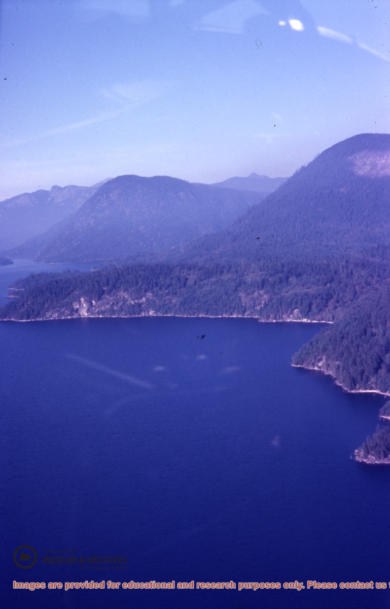
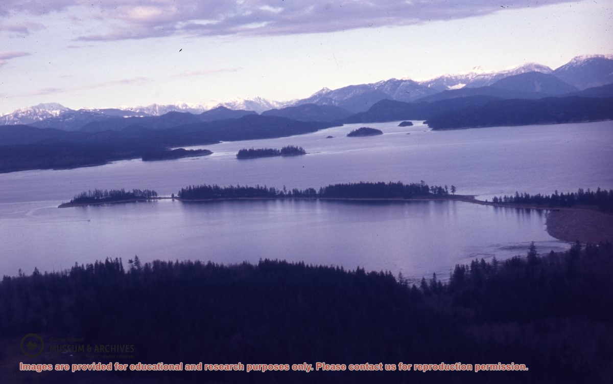
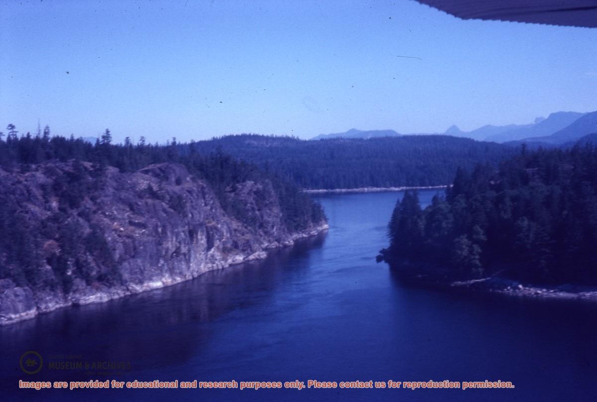
Aerial view of Lewis Channel
Aerial view of Malaspina Inlet
Aerial view of Powell Lake
Aerial view of Powell Lake
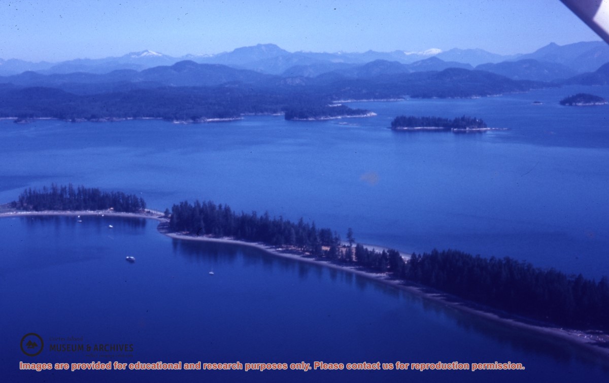
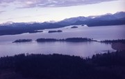
Aerial view of Rebecca Spit, Quadra Island
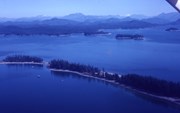
Aerial view of Rebecca Spit, Quadra Island
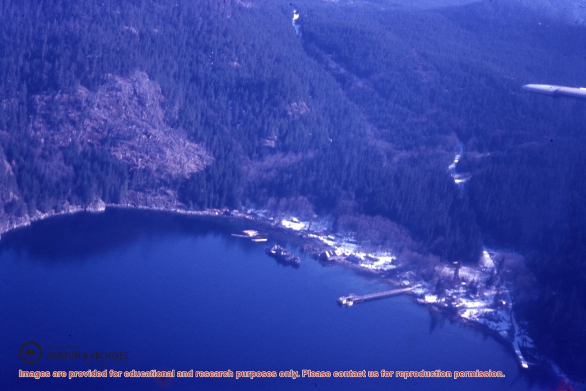
Aerial view of Redonda Bay
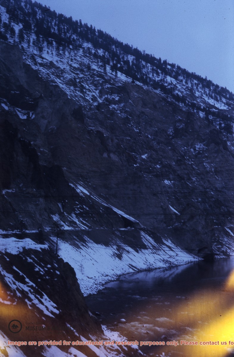
Aerial view of snowy cliffs; hydro lines in the foreground
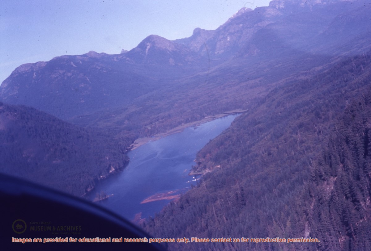
Aerial view of Teakerne Arm on West Redonda Island
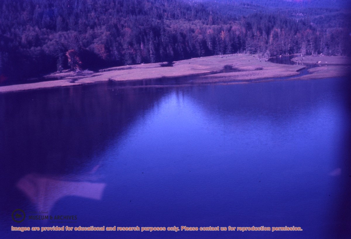
Aerial view of Teakerne Arm, W. Redonda, with log booms and Cassel Falls visible at its head
Aerial view of the entrance to Gorge Harbour
Aerial view of the head of Malaspina Inlet