Show All Information
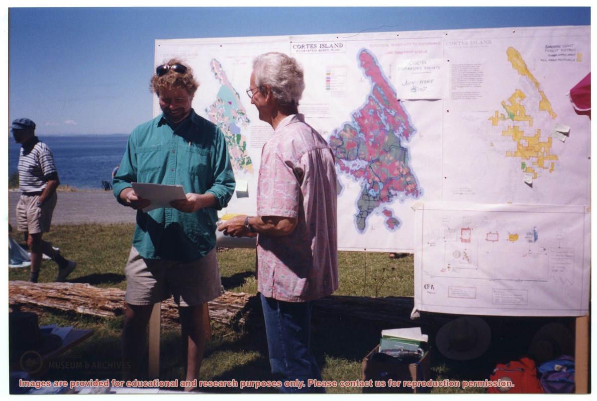
David Shipway and Bruce Ellingsen in front of CES map display at Smelt Bay
Show All Information
David Shipway (L) and Bruce Ellingen in front of CES map display, Smelt Bay
Show All Information
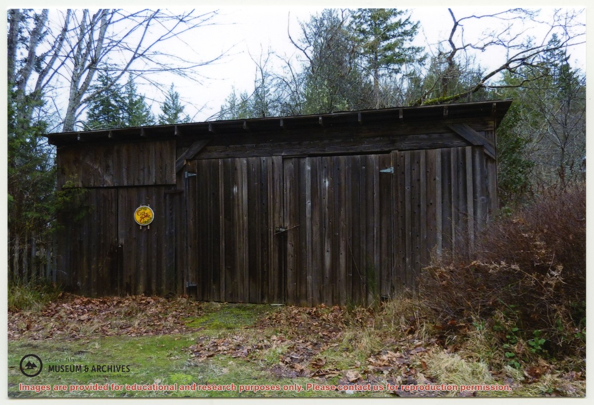
Department of Highways first maintenance shed, Sutil Point Rd.
Part Of
CIMAS photograph collection
Description Level
Item
Material Type
graphic material
Date Range
[ca. 1957]
Scope and Content
"Sutil Pt road Dept of Highways first maintenance shed. The fence next to it was repaired with old grader blades. Gordon Fretwell, foreman, property about 1957."
Part Of
CIMAS photograph collection
Description Level
Item
Fonds Number
2019.003
Item Number
2019.003.124
Material Type
graphic material
Date Range
[ca. 1957]
Physical Description
1 photograph print : colour ; 15 x 10 cm
Custodial History
From Shirley (Guthrie) Beaulieu
Scope and Content
"Sutil Pt road Dept of Highways first maintenance shed. The fence next to it was repaired with old grader blades. Gordon Fretwell, foreman, property about 1957."
Storage Location
Photograph Box 3
Show less information
Show All Information
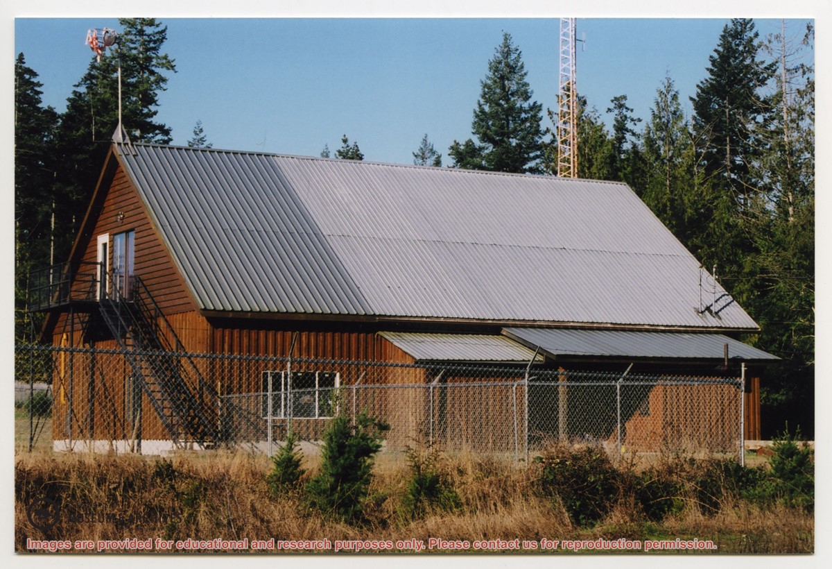
Firehall #1, Manson's Landing - back and side
Show All Information
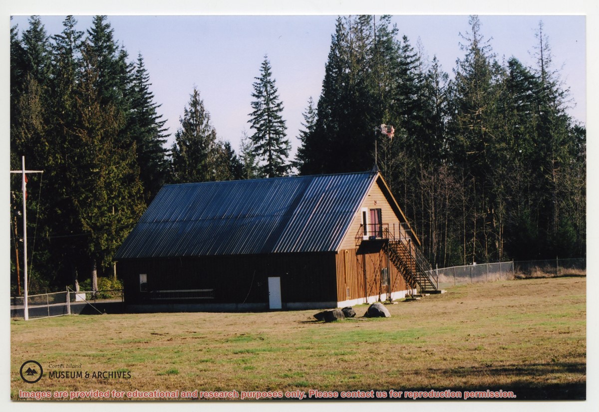
Firehall #1, Manson's Landing, back view
Show All Information
Forest Development Plan, 1999-2003, Sunshine Coast
Part Of
Cortes Ecoforestry Society fonds
Description Level
File
Material Type
textual records
Accession Number
2017.011
Date Range
1999
Scope and Content
File contains Forest Development Plan for the Sunshine Coast, published by the Ministry of Forests.
Show All Information
Forestry-1 Zone
Part Of
Cortes Ecoforestry Society fonds
Description Level
File
Material Type
textual records
Accession Number
2017.011
Date Range
1989-1999
Scope and Content
File contains materials related to the establishment of a Forestry-1 Zone on Cortes Island, including correspondence, newsletters, and public notices.
Show All Information
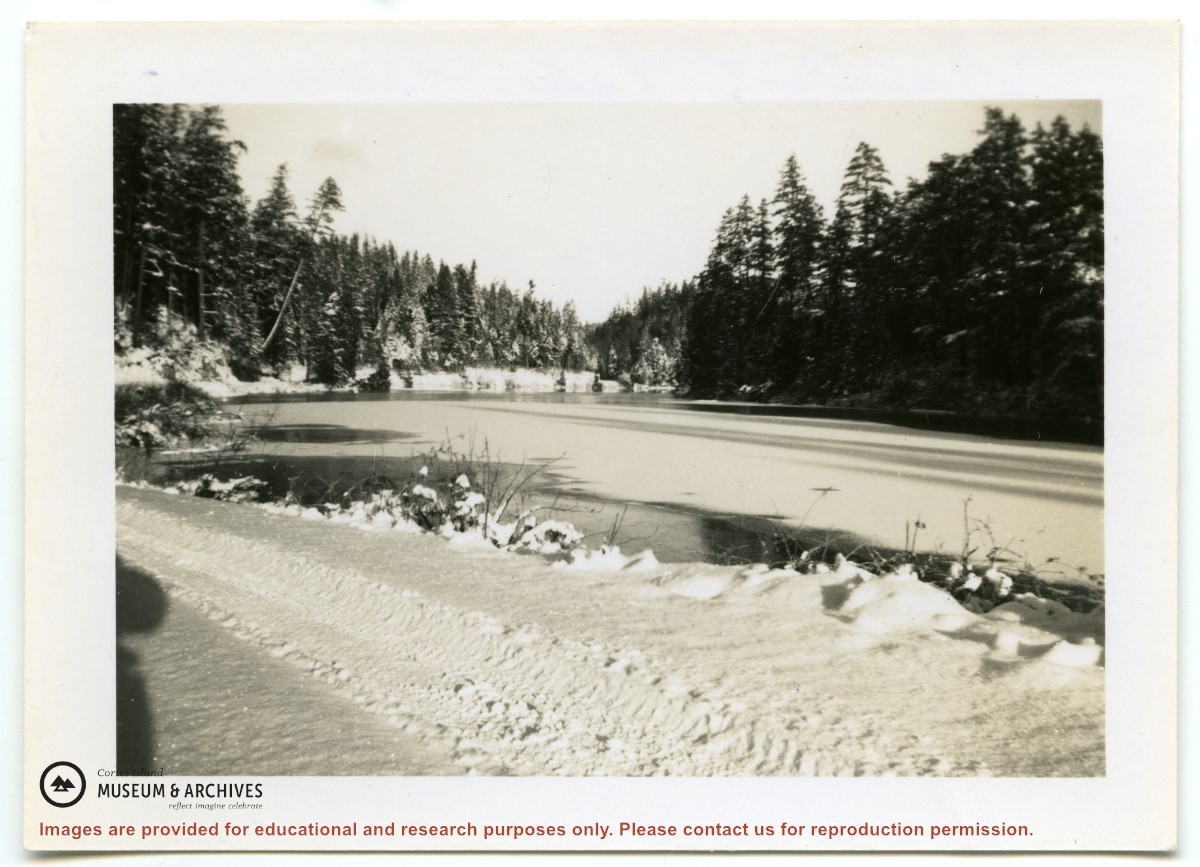
Gunflint Lake in the winter (1)
Part Of
CIMAS photograph collection
Description Level
Item
Fonds Number
2019.003
Item Number
2019.003.216
Material Type
graphic
Date Range
[ca. 195?]
Physical Description
1 photograph print : b&w; 9 x 6 cm
Custodial History
Found in Information Files folder, Jan. 2021
Storage Location
Photo Box 3
Show less information
Show All Information
Maps
Part Of
Cortes Ecoforestry Society fonds
Description Level
File
Material Type
textual records
Accession Number
2017.011
Date Range
ca. 2005
Scope and Content
File contains maps of Hank's Beach and surrounding area.