Show All Information
David Shipway (L) and Bruce Ellingen in front of CES map display, Smelt Bay
Show All Information
David Shipway, Bruce Elllingsen, Cathy Francis and (ID)
Show All Information
David Shipway and Cathy Francis at MOU signing
Show All Information
CES Secretary
Part Of
Cortes Ecoforestry Society fonds
Description Level
File
Material Type
textual records
Accession Number
2017.011
Date Range
1999-2003
Scope and Content
File contains correspondence, employment inquiries, board policies and documents, fundraising documents, and 1999 Annual Report.
Show All Information
CES MB
Part Of
Cortes Ecoforestry Society fonds
Description Level
File
Material Type
textual records
Accession Number
2017.011
Date Range
1999
Scope and Content
File contains materials related to MacMillan Bloedel presence on Cortes Island, and possible community buyout of MB lands.
Show All Information
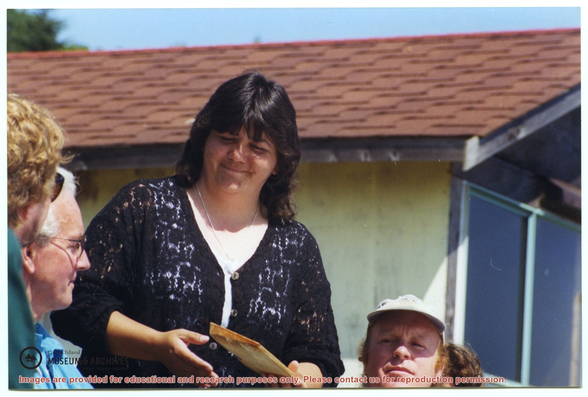
David Shipway, Cathy Francis and Liz Richardson, MOU signing event
Show All Information
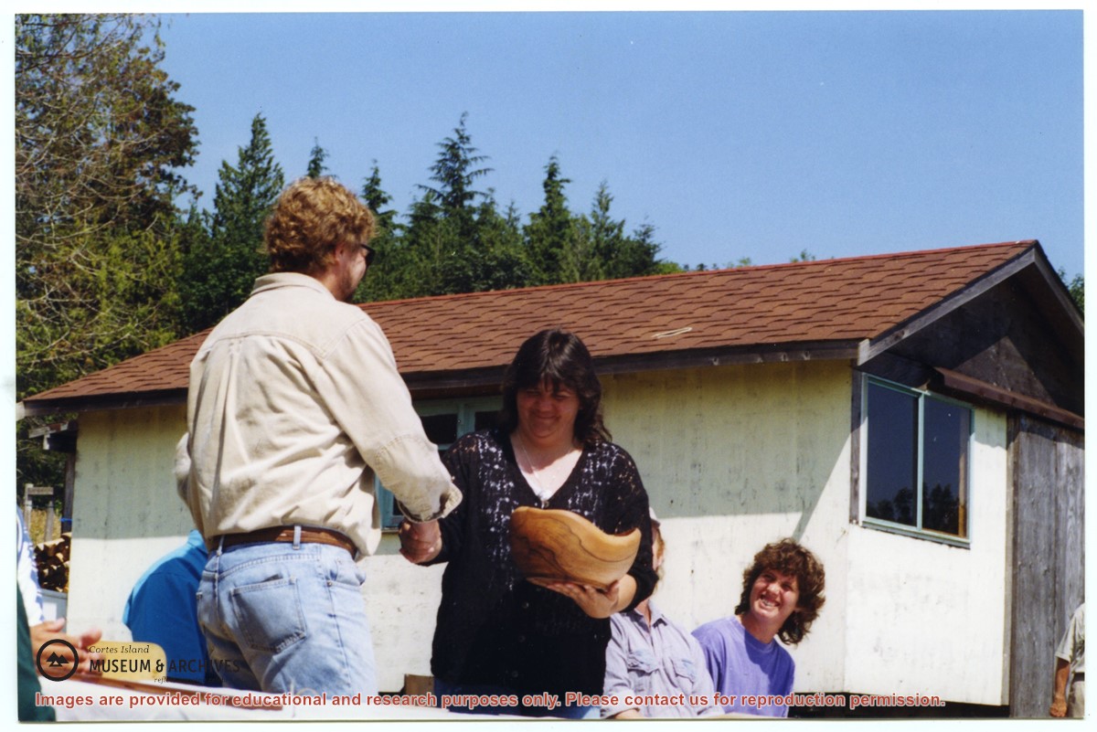
David Shipway and Cathy Francis shaking hands at MOU signing ceremony
Show All Information
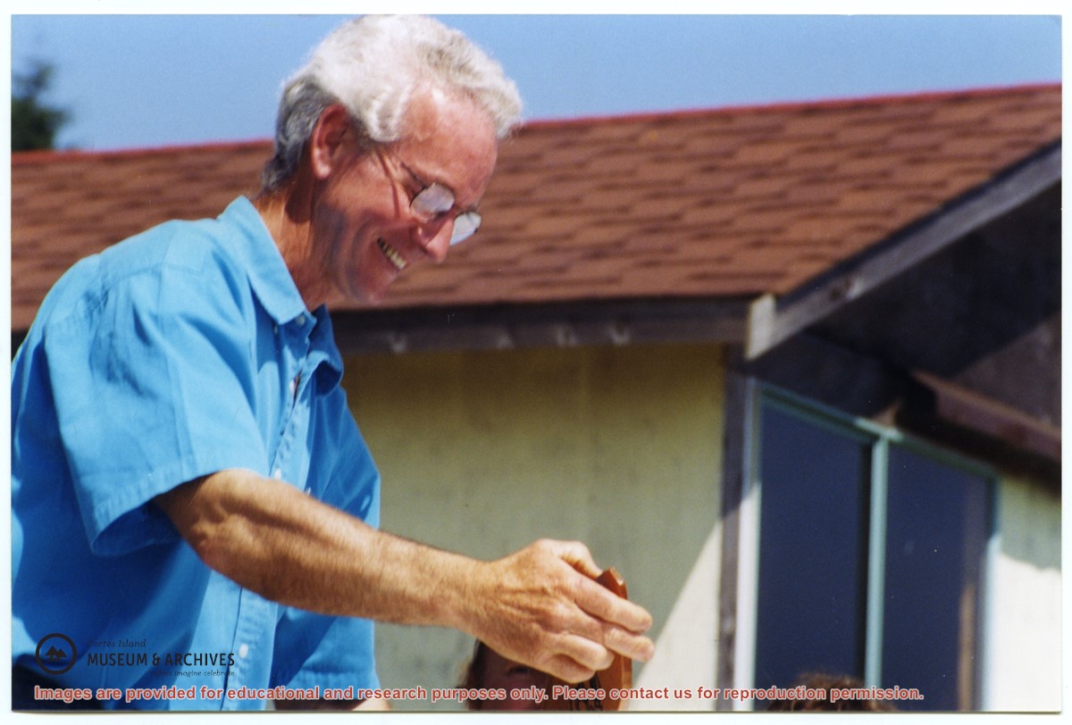
Bruce Ellingsen at MOU signing
Show All Information
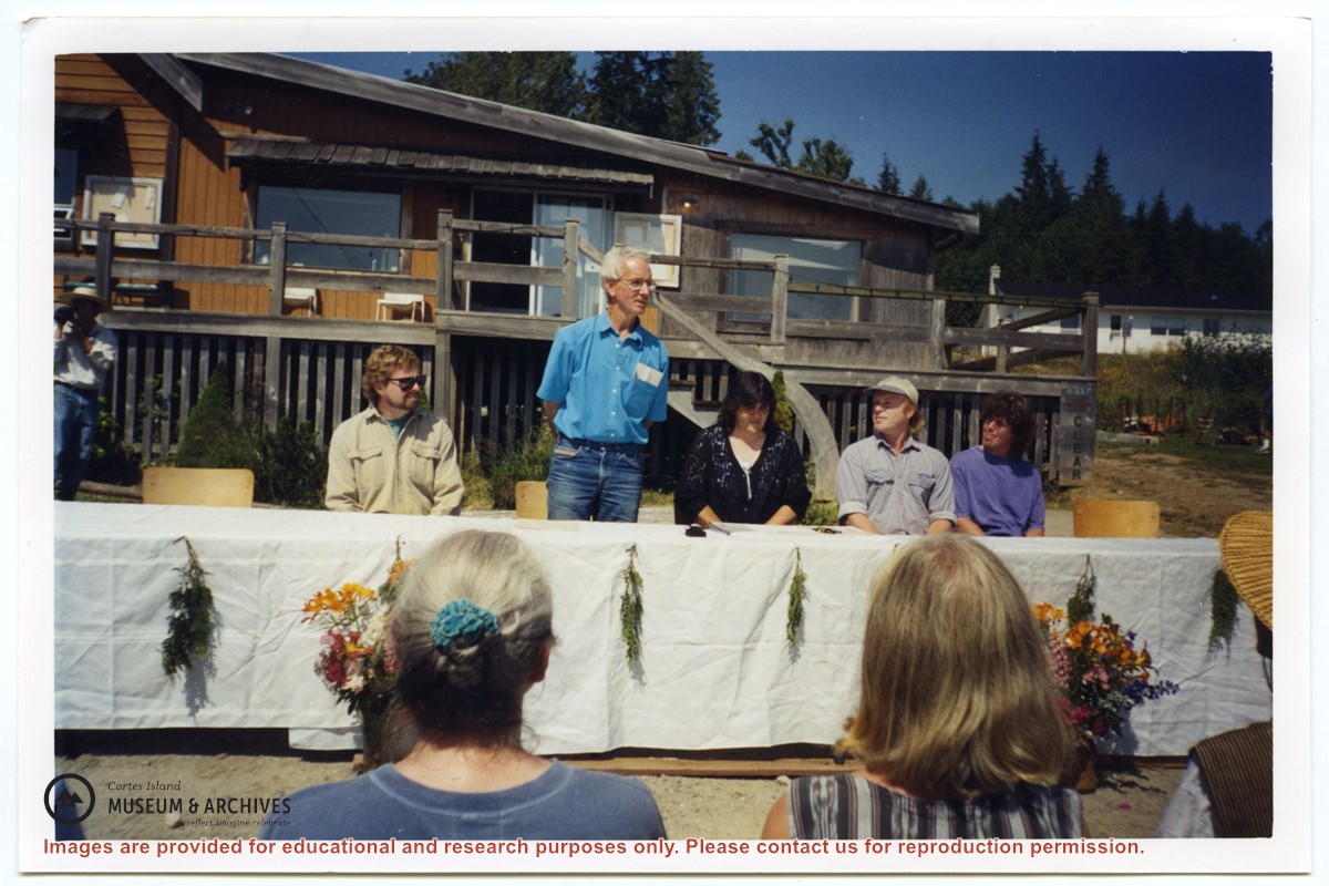
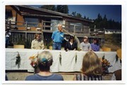
Bruce Ellingsen speaking at MOU signing; Klahoose hall in the background
Show All Information
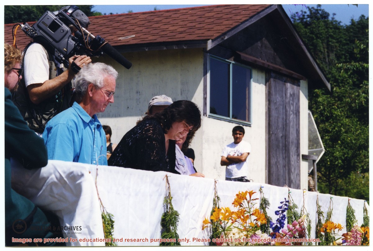
MOU signing, Bruce Ellingsen and Cathy Francis with camera man behind
Show All Information
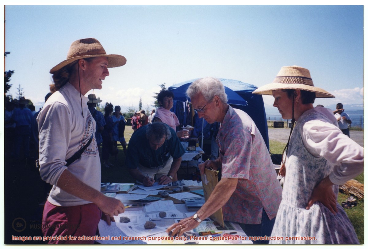
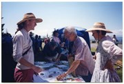
Ecoforestry table at Cortes Day, Bruce Elllingsen center
Show All Information
Zoning map of Cortes Island
Show All Information
Maps
Part Of
Cortes Ecoforestry Society fonds
Description Level
File
Material Type
textual records
Accession Number
2017.011
Date Range
ca. 2005
Scope and Content
File contains maps of Hank's Beach and surrounding area.
Show All Information
Hornby Island draft community plan and map
Show All Information
Maps and Plans
Part Of
Cortes Island Ratepayers Association fonds
Description Level
Series
Material Type
cartographic material
Date Range
1963-1977
Scope and Content
Series consists of a hand drawn map of Cortes Island showing places of interest to visitors, maps showing the location of hydro distribution lines on Cortes Island, maps related to zoning and rezoning on Cortes Island, the Official Settlement Plan, and a drawing showing an engineering plan for the Whaletown ferry terminal.
Part Of
Cortes Island Ratepayers Association fonds
Description Level
Series
Fonds Number
2000.003
Series Number
9
Material Type
cartographic material
Date Range
1963-1977
Physical Description
17 maps and 1 drawing
Scope and Content
Series consists of a hand drawn map of Cortes Island showing places of interest to visitors, maps showing the location of hydro distribution lines on Cortes Island, maps related to zoning and rezoning on Cortes Island, the Official Settlement Plan, and a drawing showing an engineering plan for the Whaletown ferry terminal.
Storage Range
3-42 - 3-48
Subject Access
Ferries Transportation Water transport
Show less information
Show All Information
Cortes Island zoning map, including rezoning requests and four partial maps of Cortes Island showing specific subdivision proposals
Show All Information
Zoning maps of Cortes Island: Regional District of Comox-Strathcona zoning maps
Show All Information
Cortes Island - showing places of interest to our visitors by George Griffin, hand drawn map.
Show All Information
Hydro maps, cover letter and four of five maps showing location of hydro distribution lines on Cortes Island
Show All Information
APC correspondence re: zoning error on District lot 307 on Cortes Bay