File contains a Key Map to the sections covered in Files 17-19; a list of the sections researched and two pages of notes.
It contains photocopies of Crown Grants and subsequent title changes for the following:
Charles Allen: 1908, Crown Grant for part of NE 1/4 of Sec. 21 lying north of Gorge Harbour (property known as Bute Ranch); 46 acres for $46.00
Bernard Robinson Allen: 1919, Crown Grant for NW 1/4 of Sec. 21; 162 acres for $247.00
Charles Allen: 1905, Crown Grant for SE 1/4 of Sec. 34
(Files 17 through 19 are from the same envelope.)
File contains a map key to the areas of Sections 17, 18, 19, 22 and 34 (south of Gorge Harbour) which were researched (Information in Files 3-7).
It contains photocopies of original land grants and subsequent conveyances for the following:
Reginald James Smith: 1946, Crown Grant 165414I for fractional SE 1/4 of Sec 23, 1946 (the Thunder Road subdivision at the eastern end of Gorge Harbour).
(Files 3 through 7 are from the same envelope.)
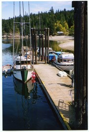
File contains postcards showing views of Whaletown.
#1: Photograph of St. John the Baptist Church, b&w, 1952; 1 copy
#2: Photograph of a Union Steamship at the Whaletown wharf; b&w; 1952; 1 copy
#3: Aerial photograph of the Salt Lagoon; b&w; likely 1952; 1 copy
#4: A drawing of the wharf and buildings of Whaletown, from the water; b&w, [195-]; 4 copies Verso says "Sketch by Canadian Artist, Mrs. R. A. Borland". Mrs. Borland was the sister of Mary Weiler, and lived in Manson's Landing.
#5: Church of St. John the Baptist; colour; 1952; 2 copies. Printed by George Frost, owner of the Whaletown General Store. See #2013.001.006
#6: The Whaletown Trading Post; colour; 2 copies. Printed by George Frost, owner of the Whaletown General Store. See #2013.001.005
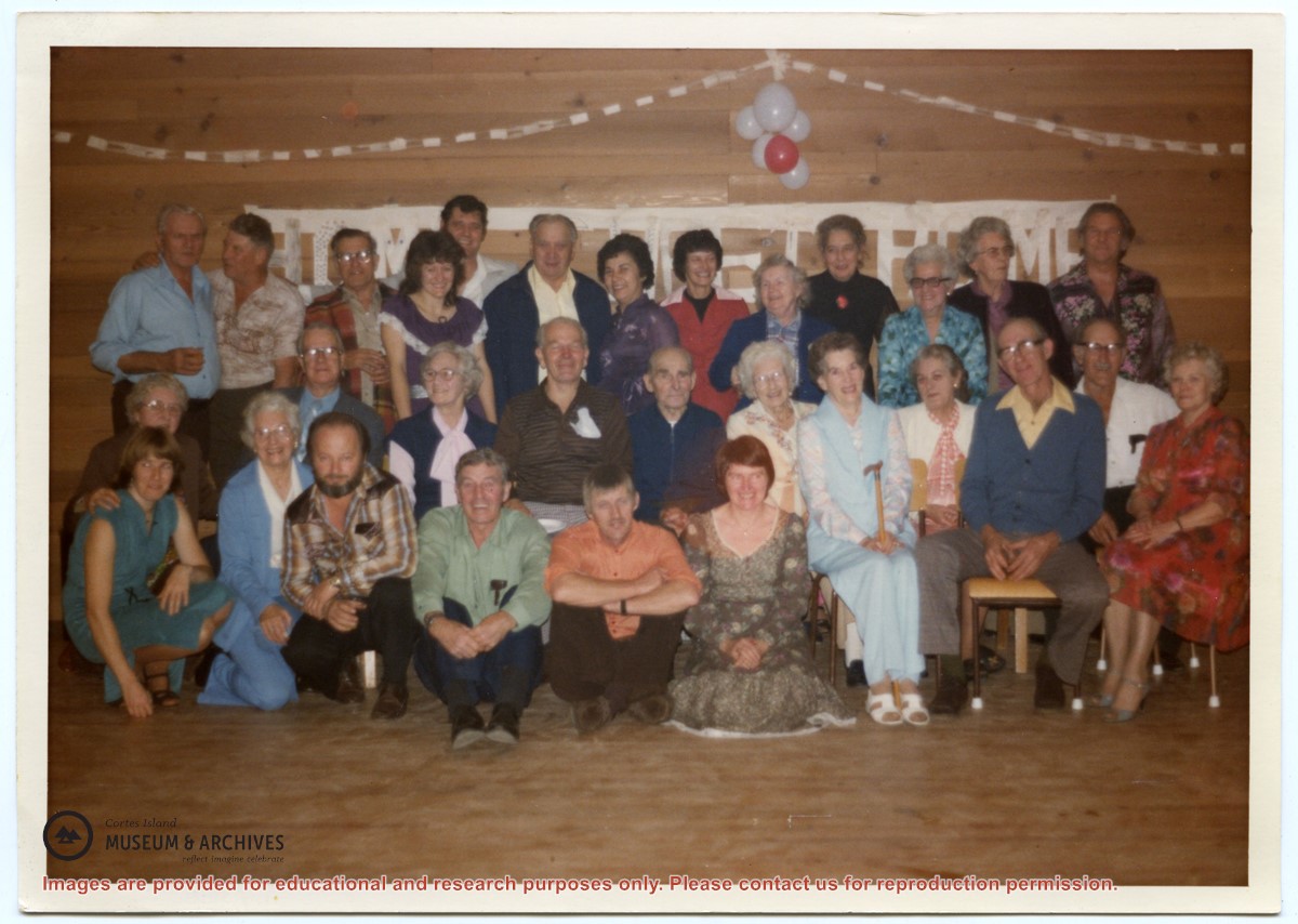
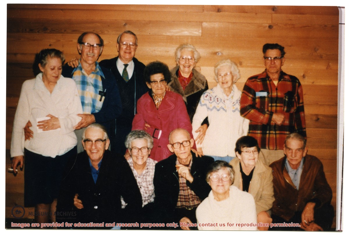
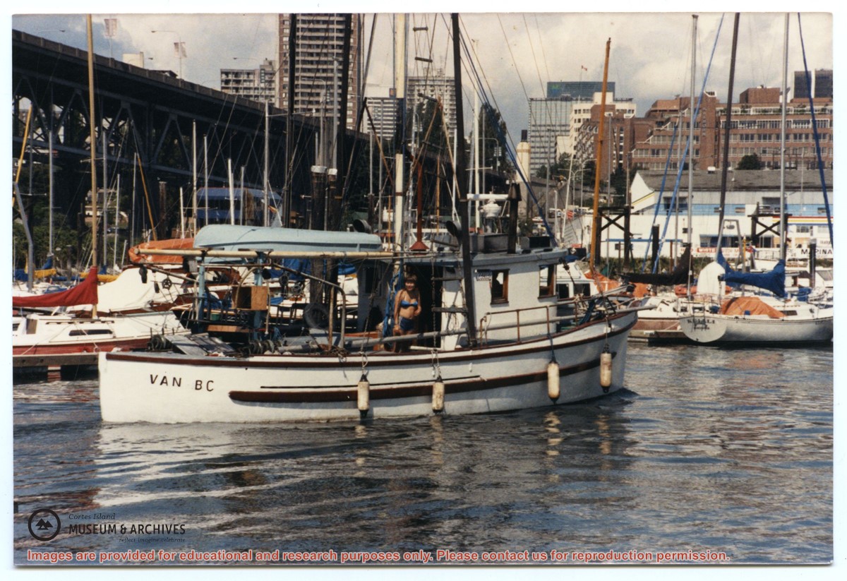
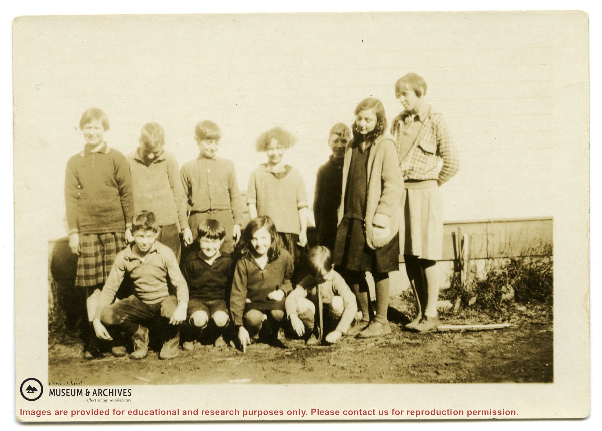
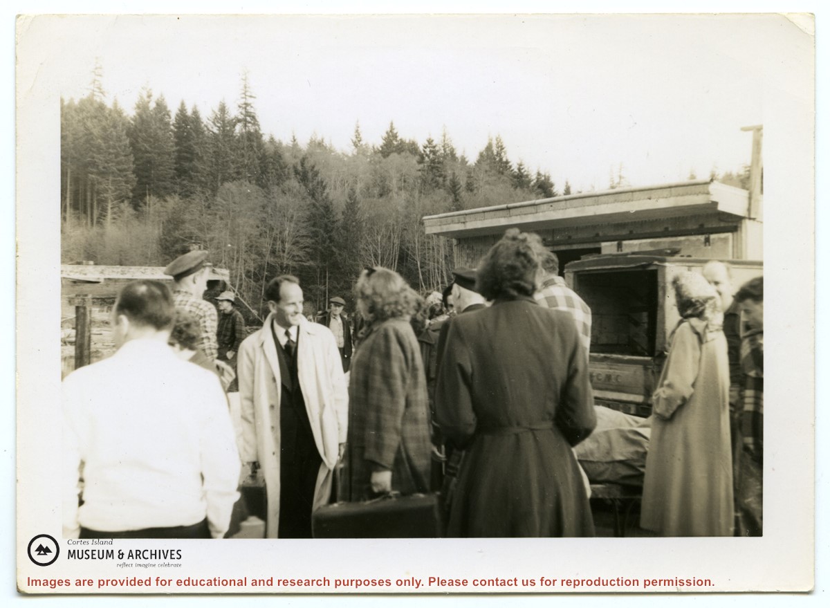
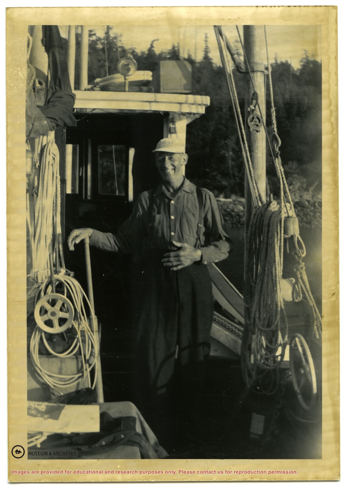
Photograph of a group of people in front of the freight shed on the Whaletown wharf. A sticker on the back indicates the photograph was originally from the collection of Gilean Douglas.
Photograph of a group of people in front of the freight shed on the Whaletown wharf. A sticker on the back indicates the photograph was originally from the collection of Gilean Douglas.