Show All Information
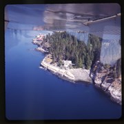
Aerial view of Whaletown Bay
Show All Information
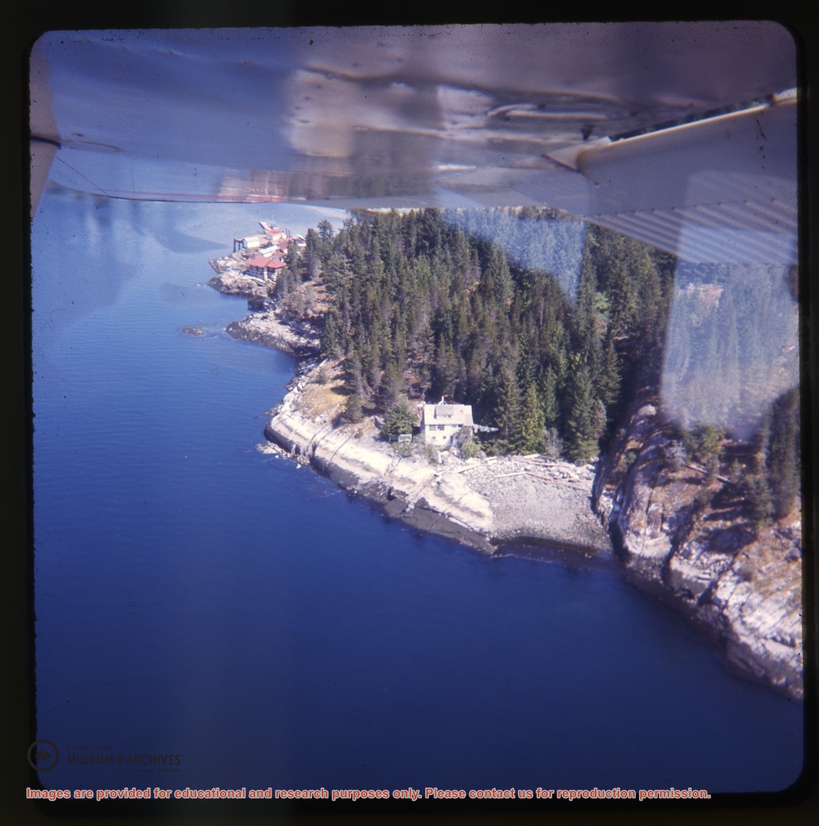
Aerial view of Whaletown Bay, with the Weiler house center right
Show All Information
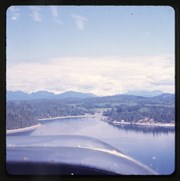
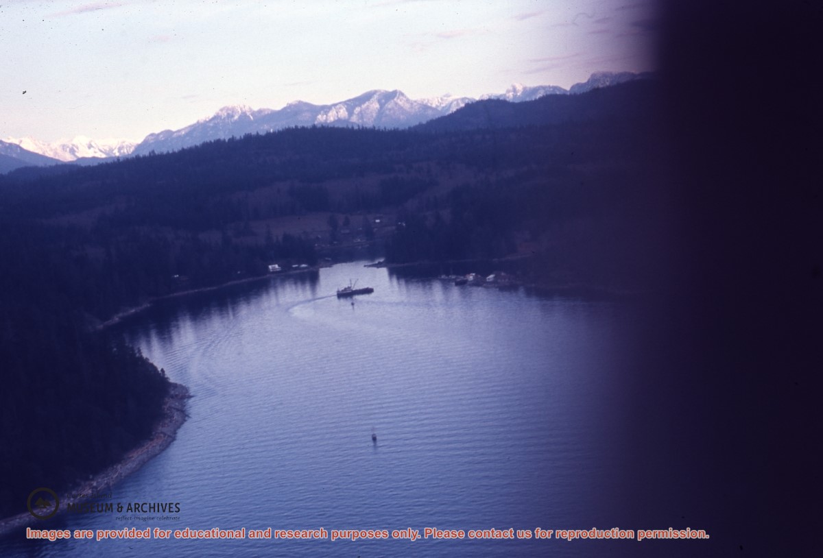
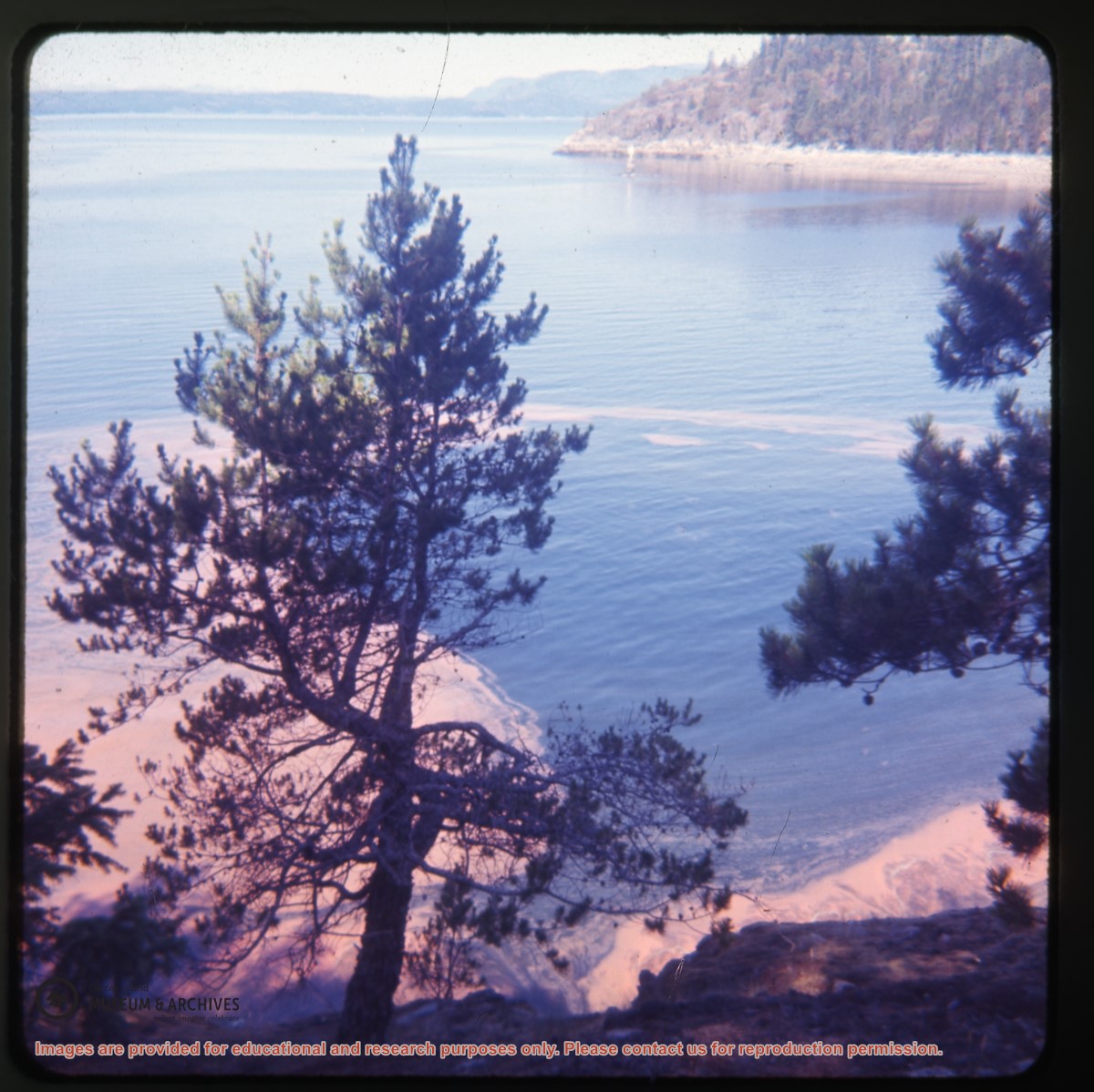
Aerial view of Whaletown from the north, Marina Island in the background
Show All Information
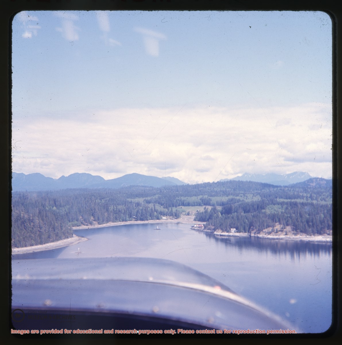
Aerial view of Whaletown Bay
Show All Information
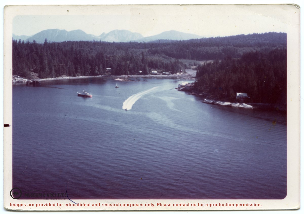
MV Brentwood Bay in Whaletown Bay; mainland mountains in the background
Show All Information
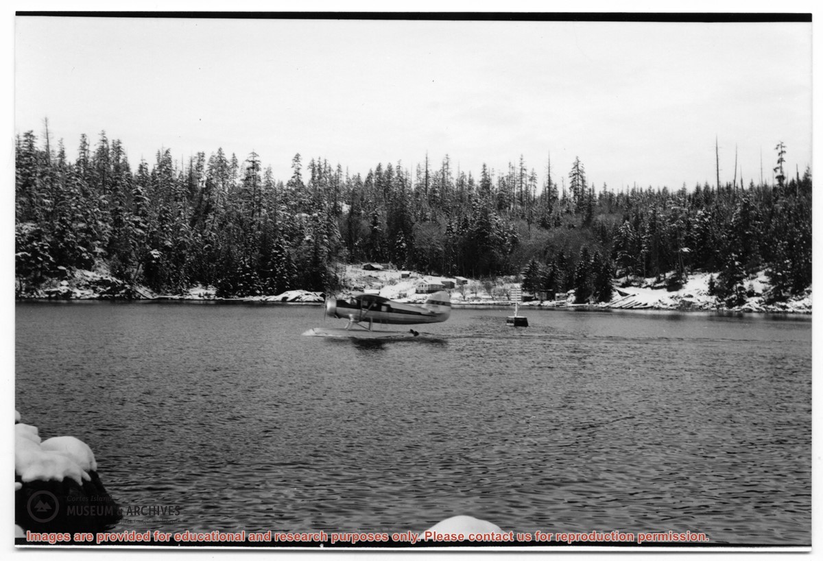
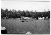
Float plane in Whaletown Bay
Part Of
Gilean Douglas fonds
Description Level
Item
Material Type
graphic material
Date Range
[ca. 1950s]
Scope and Content
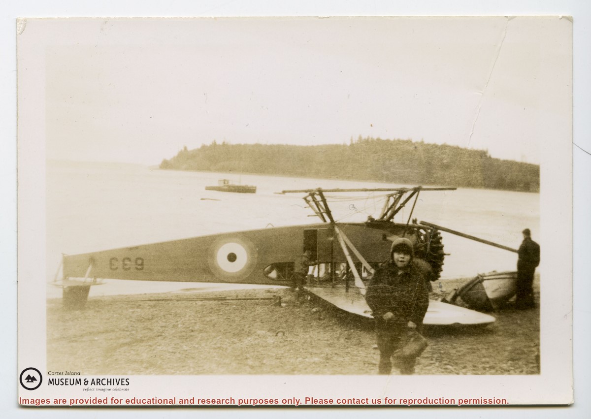
Photograph of a float plane in Whaletown Bay beside the navigation marker.
Show All Information
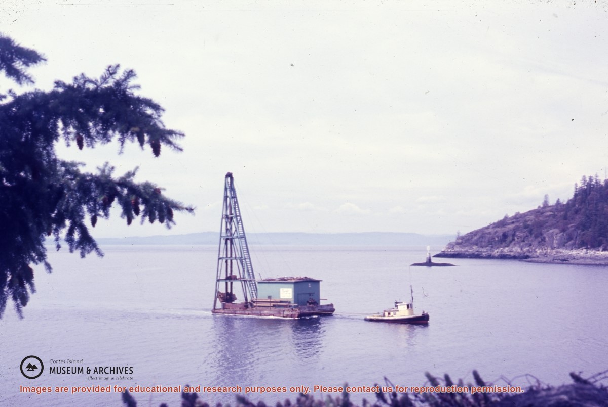
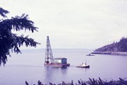
Barge with pile driver being towed into Whaletown Bay
Show All Information
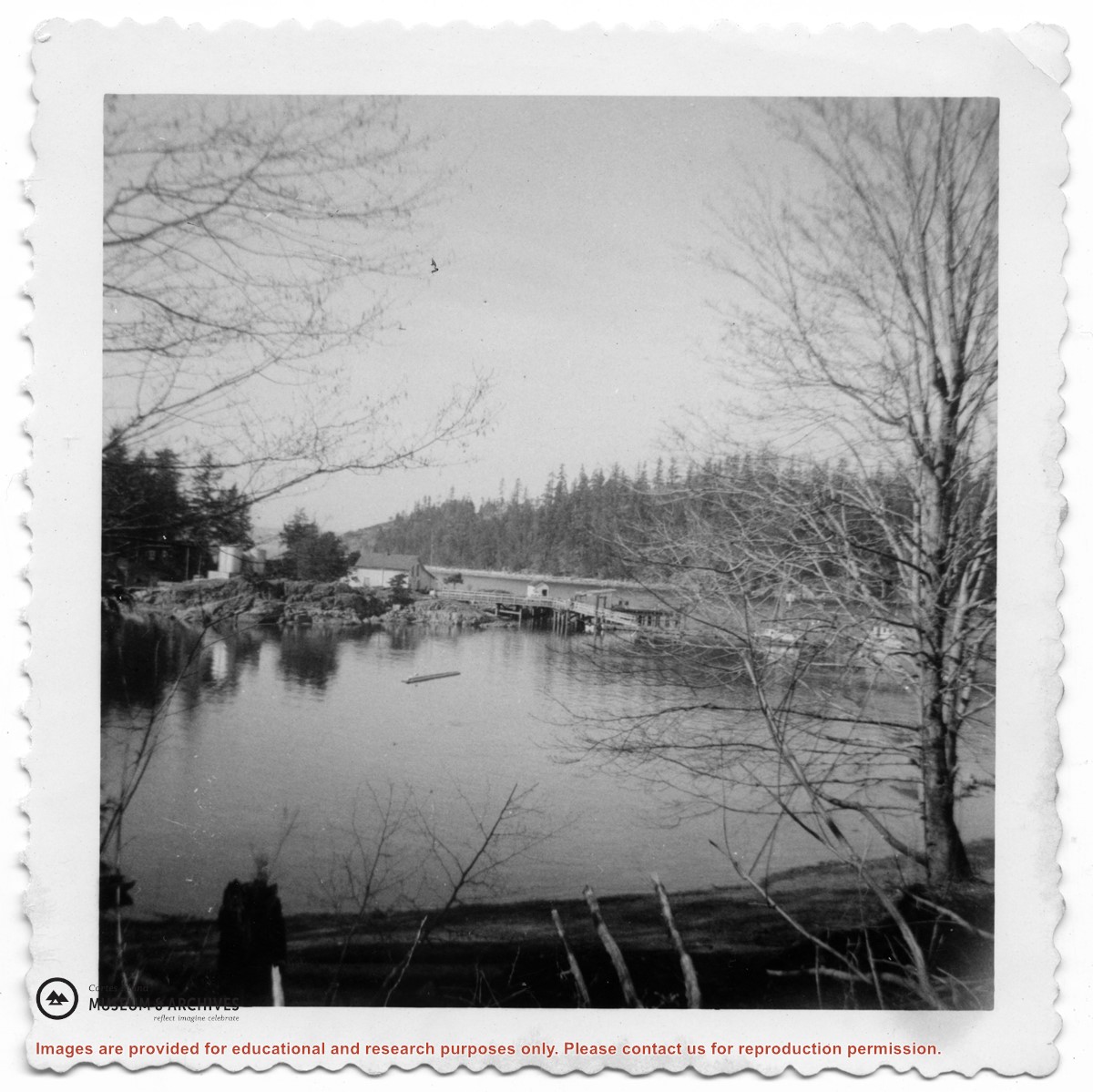
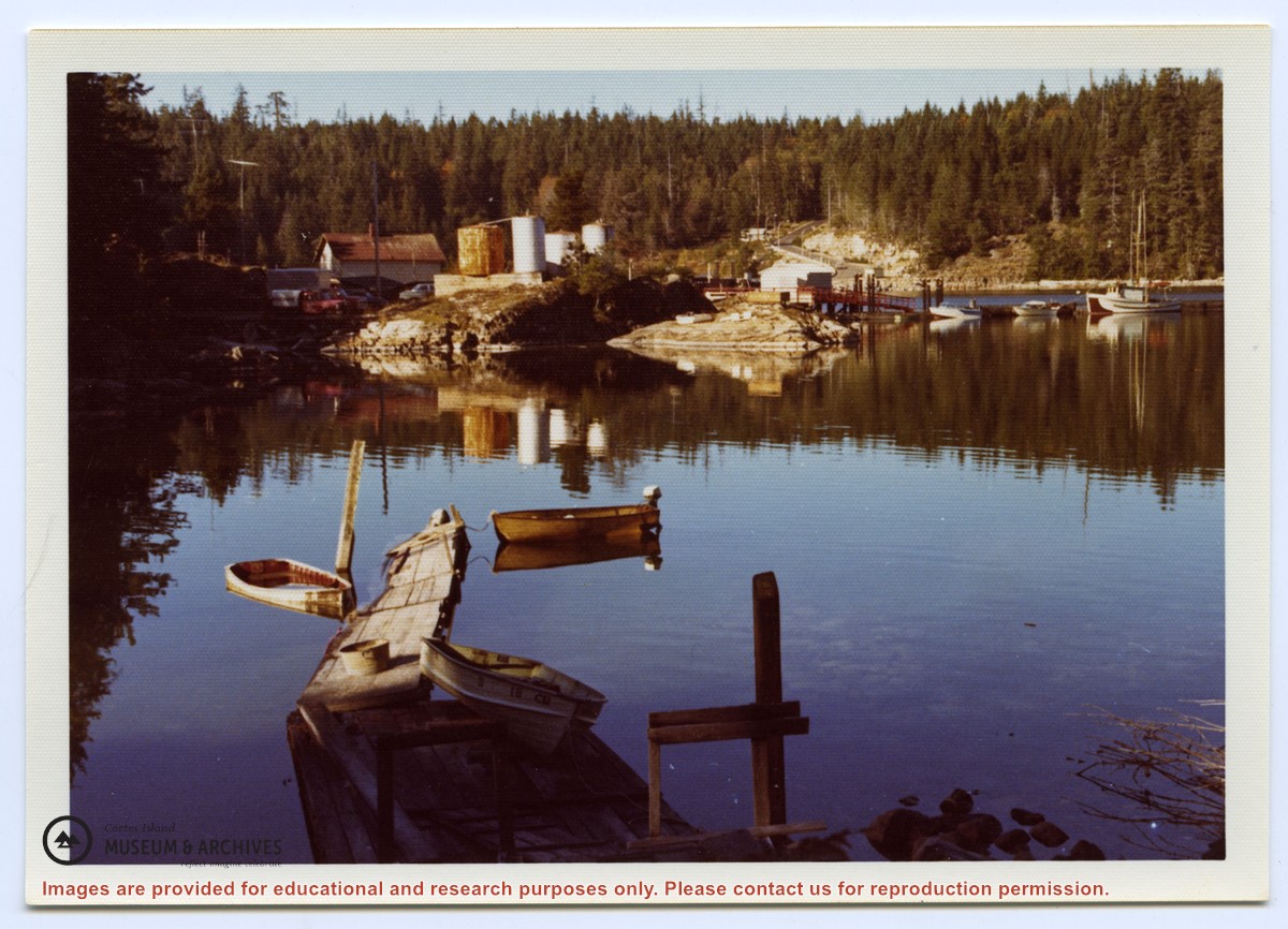
View of Whaletown Bay across from the store
Show All Information
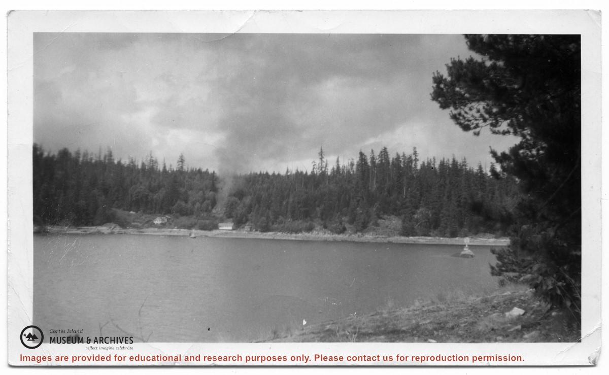
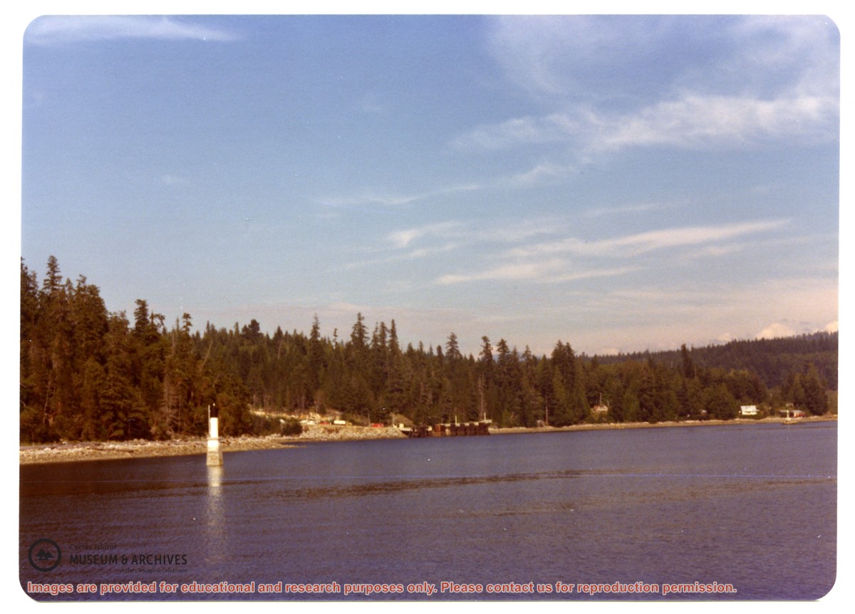
Whaletown Bay from the water, before construction of the ferry dock
Part Of
Gilean Douglas fonds
Description Level
Item
Material Type
graphic material
Date Range
[ca. 1950s]
Scope and Content
Photograph of Whaletown Bay taken from the water, showing the navigation marker at the entrance, and the houses to the left of the future site of the ferry landing.
Part Of
Gilean Douglas fonds
Description Level
Item
Fonds Number
1999.001
Series Number
18
Item Number
1999.001.0689
Material Type
graphic material
Date Range
[ca. 1950s]
Physical Description
1 photograph print: b&w; 11 x 8 cm
Scope and Content
Photograph of Whaletown Bay taken from the water, showing the navigation marker at the entrance, and the houses to the left of the future site of the ferry landing.
Subject Access
Ferries Transportation Water transport
Geographic Access
Whaletown
Show less information
Show All Information
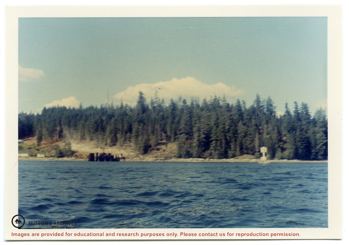
View of the entrance to Whaletown Bay taken from the Weiler property
Show All Information
View of the Whaletown store and dock, taken from across the bay
Show All Information
View of the site of the present-day ferry landing in Whaletown Bay, showing the Byers and MacKenzie houses
Show All Information
Weiler house and Whaletown wharf and buildings seen from under the wing of a float plane
Show All Information
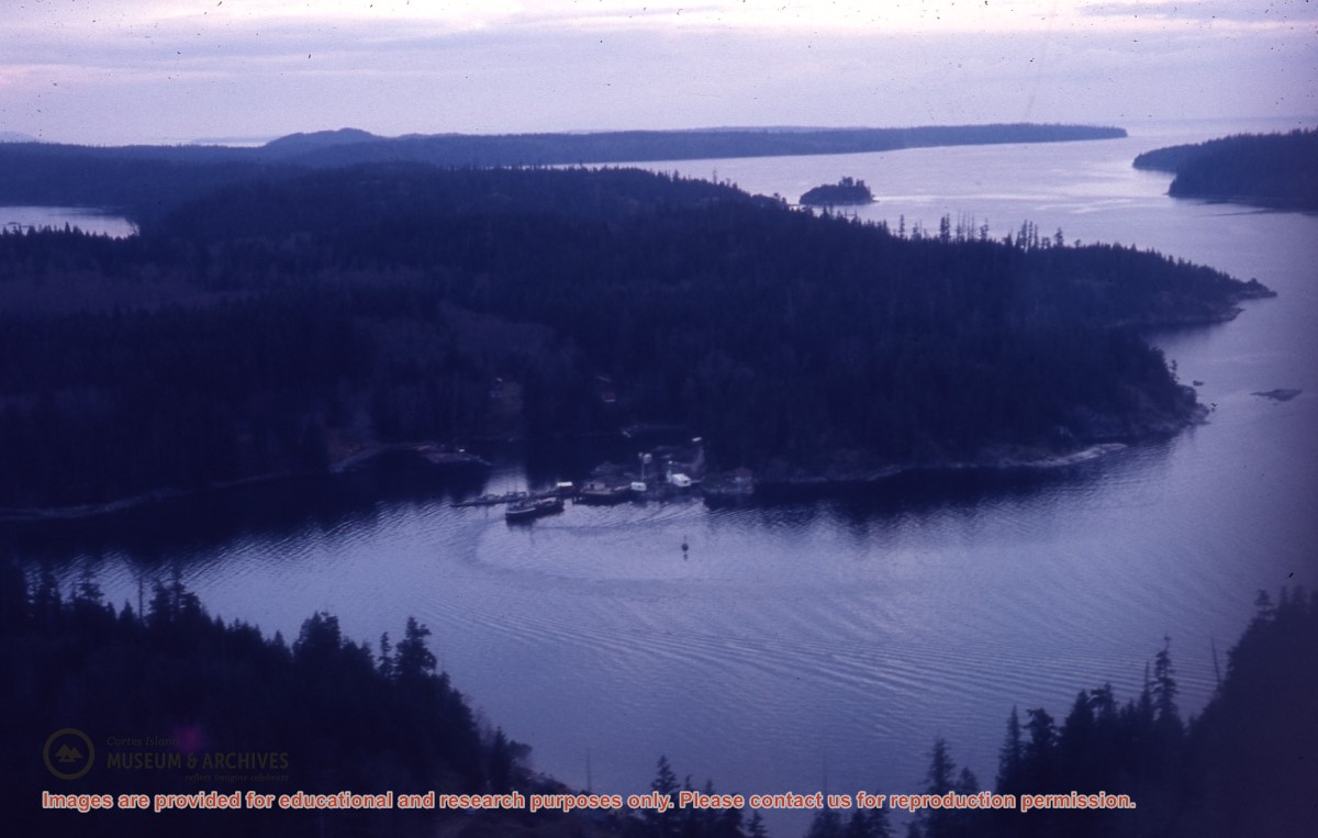
Whaletown buildings and bay
Part Of
Gilean Douglas fonds
Description Level
Item
Material Type
graphic material
Date Range
[ca. 1975]
Scope and Content
Photograph of Whaletown, looking across Whaletown Bay at Thank God Point and the ferry landing.
Show All Information
Upside-down airplane on the beach at low tide, Alert Bay
Part Of
May and Elmer Ellingsen fonds
Description Level
Item
Material Type
graphic material
Date Range
1933
Scope and Content
Photograph of a plane, missing its floats and propeller, upside-down on the beach at Alert Bay.
Part Of
May and Elmer Ellingsen fonds
Description Level
Item
Fonds Number
2007.001
Series Number
13
Item Number
2007.001.036
Material Type
graphic material
Date Range
1933
Physical Description
1 photograph print: b&w: 8.5 x 6 cm
Scope and Content
Photograph of a plane, missing its floats and propeller, upside-down on the beach at Alert Bay.
Storage Location
Photo box 4
Subject Access
Air transport Transportation
Geographic Access
Alert Bay
Show less information
Show All Information
The ferry dock in Whaletown Bay
Part Of
Gilean Douglas fonds
Description Level
Item
Material Type
graphic material
Date Range
1970
Scope and Content
Photograph of the ferry dock in Whaletown Bay, about a year after it was completed.
Show All Information
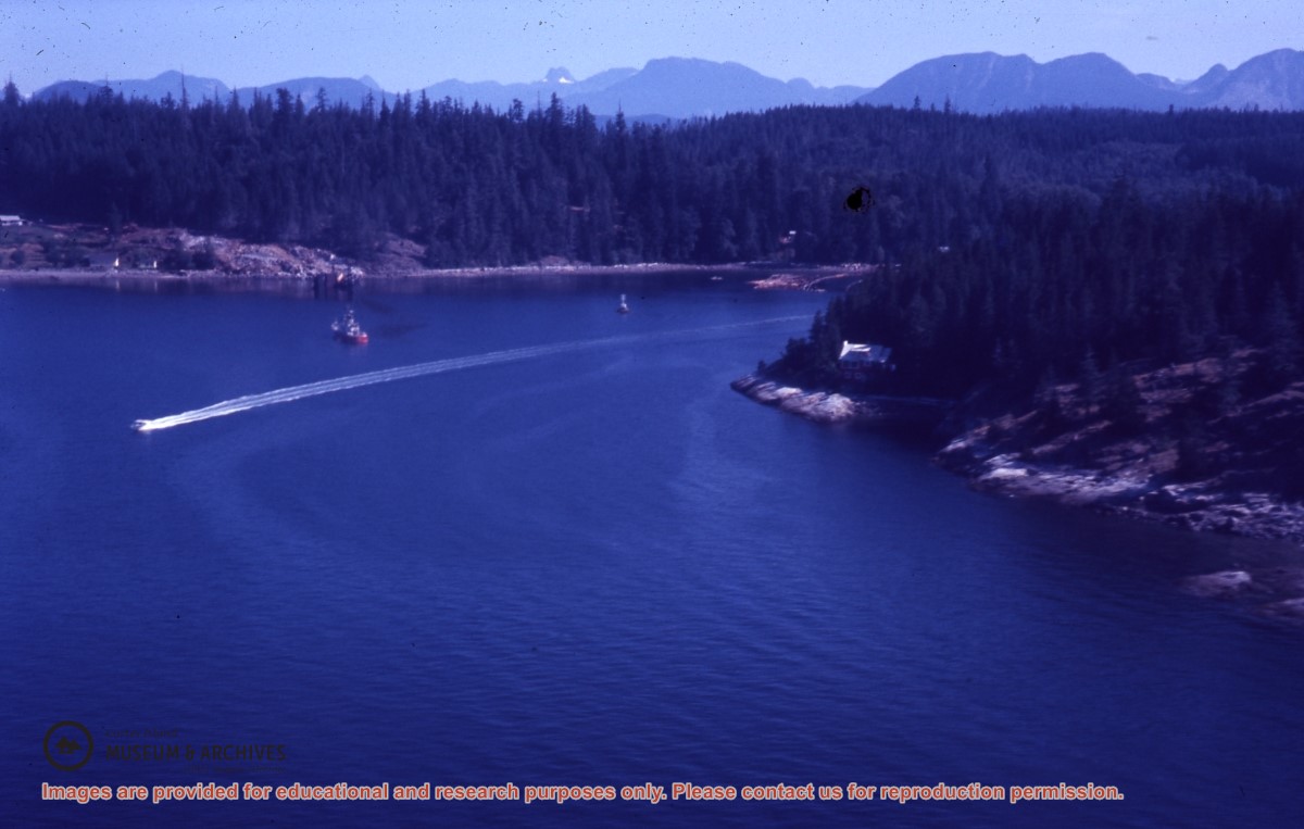
Logs being towed in Whaletown Bay
Show All Information
New ferry dock, Whaletown Bay
Part Of
Gilean Douglas fonds
Description Level
Item
Material Type
graphic material
Date Range
1969
Scope and Content
Photograph of the new ferry dock in Whaletown Bay, and the houses to its left. Note, there is no paved road.
Show All Information
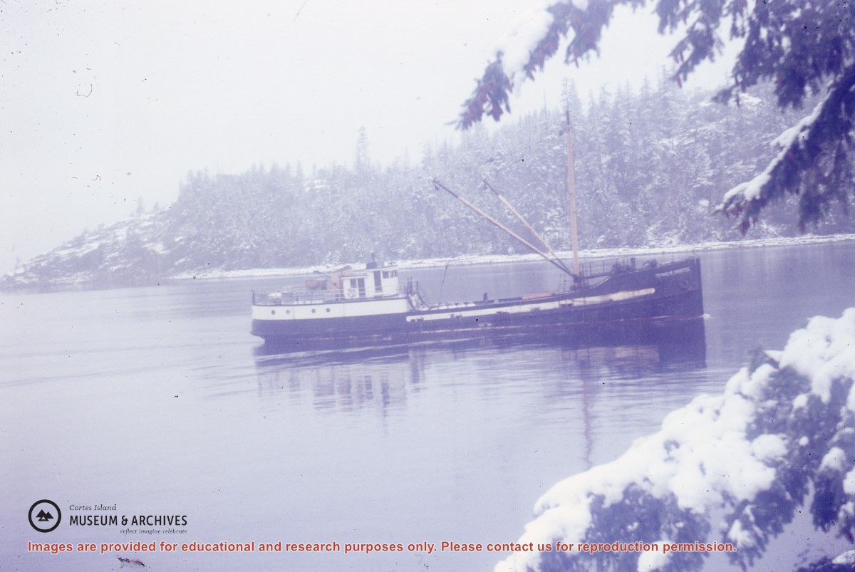
Freight boat entering a snowy Whaletown Bay
Show All Information
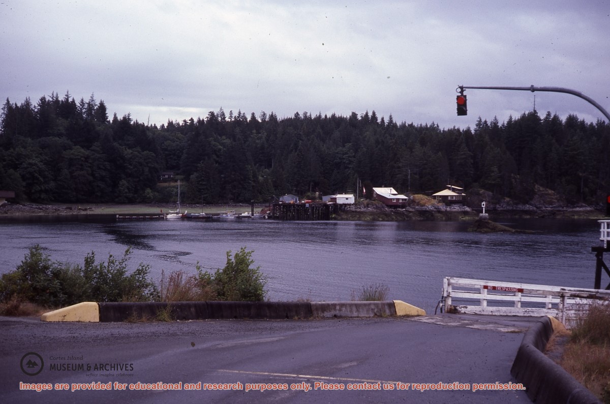
Ferry landing, showing Whaletown across the bay