Show All Information
Map of Cortes Island, Sayward District
Part Of
Donald Palmer fonds
Description Level
Item
Material Type
cartographic material
Date Range
[ca. 1915?]
Scope and Content
This large (6 feet by 3 feet) map of Cortes Island shows preemptions to about 1915, roads and trails. Map had been folded for storage.
Part Of
Donald Palmer fonds
Description Level
Item
Creator
Palmer, Donald
Fonds Number
2020.002
Item Number
2020.002.011
Material Type
cartographic material
Date Range
[ca. 1915?]
Physical Description
1 map : 188 x 92 cm
Scope and Content
This large (6 feet by 3 feet) map of Cortes Island shows preemptions to about 1915, roads and trails. Map had been folded for storage.
Show less information
Show All Information
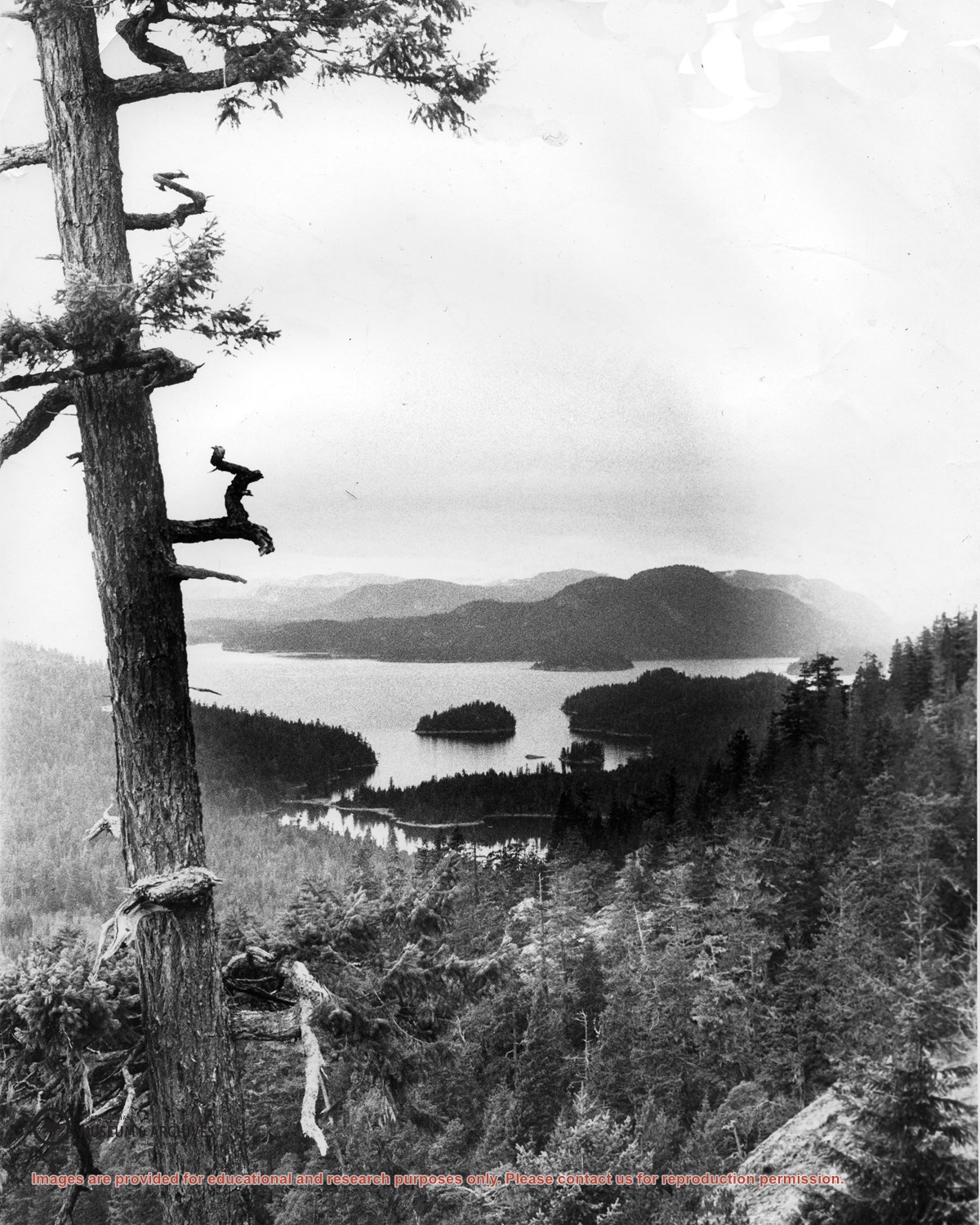
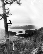
Looking north from Green Mountain over Carrington Lagoon and Carrington Bay (tidal falls in between) across 5 miles of water to Read Island, with a slew of islands to the north.