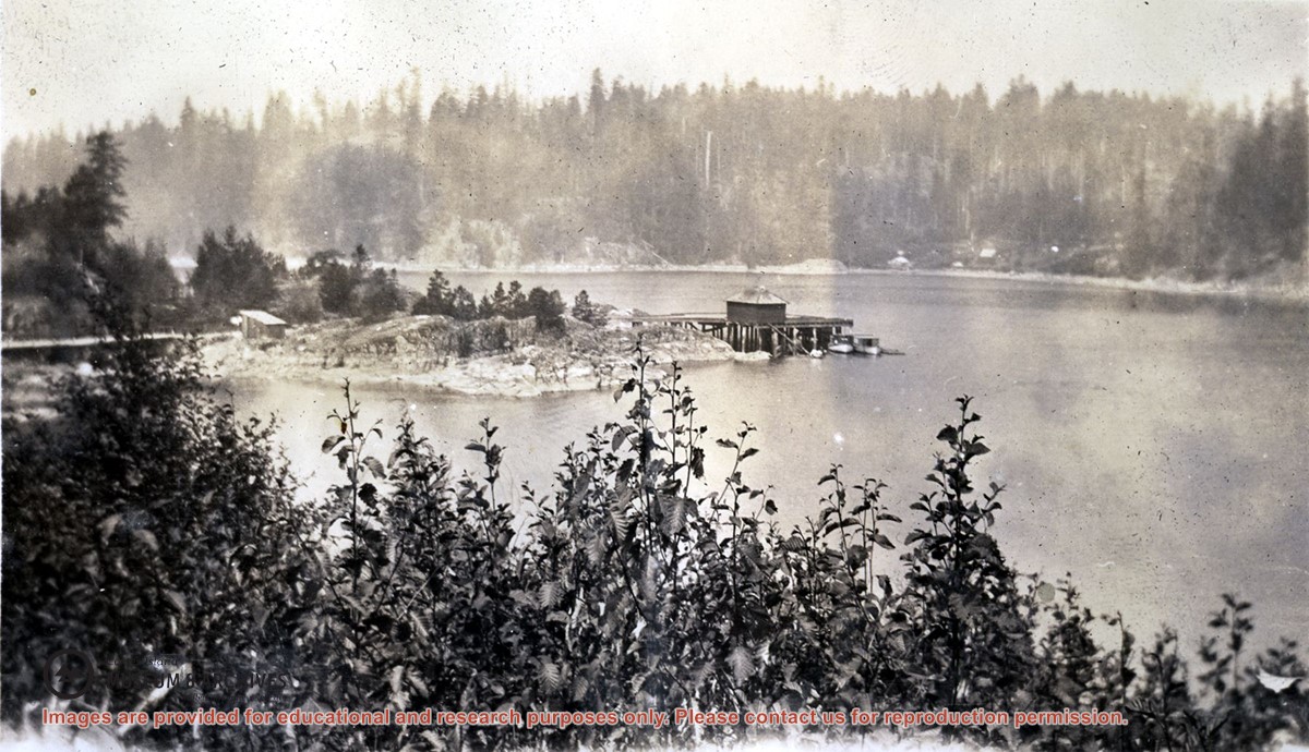
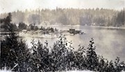
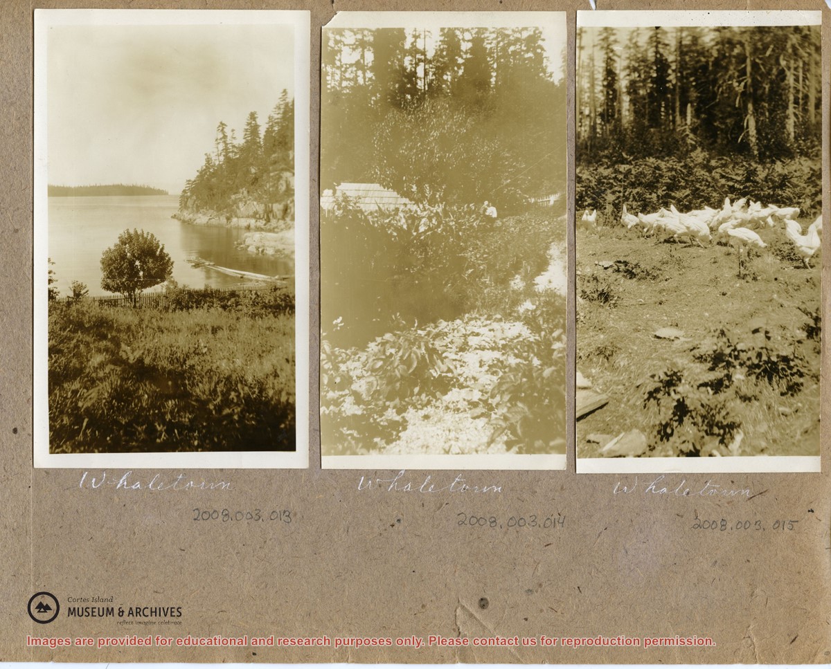
Photograph is an overview of Whaletown and Whaletown Bay, showing the dock and freight shed and the houses across the bay near the current site of the ferry dock.
Photograph is an overview of Whaletown and Whaletown Bay, showing the dock and freight shed and the houses across the bay near the current site of the ferry dock.
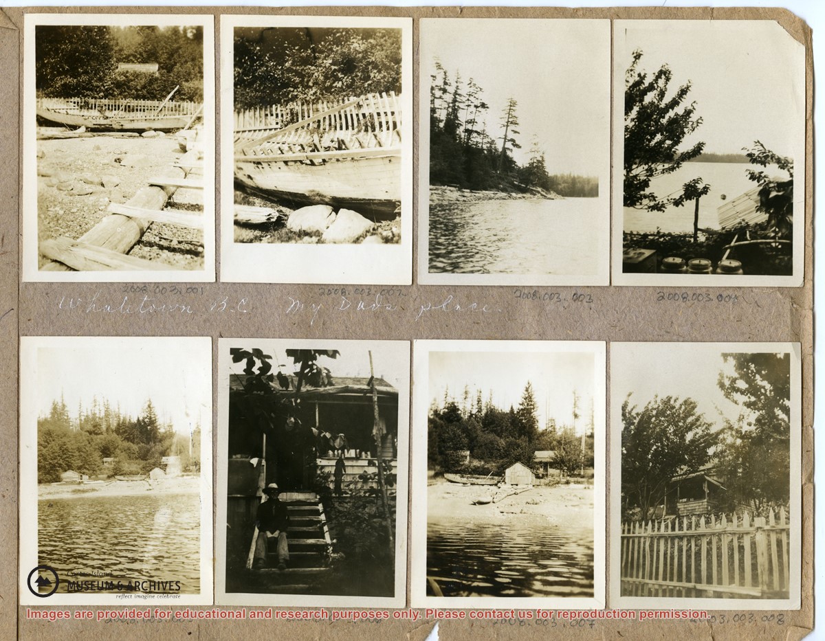
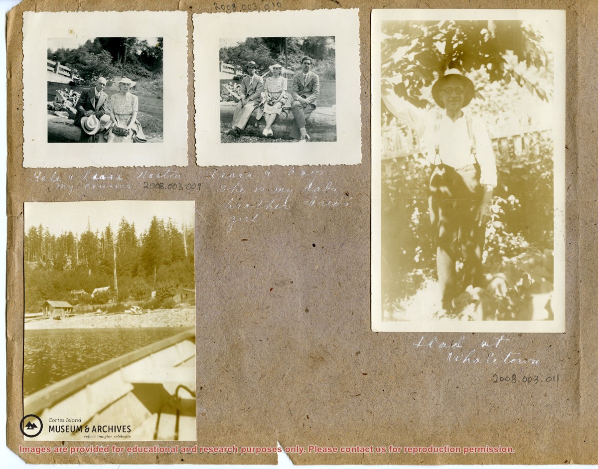
These photographs depict people ((Needs ID) and houses in Whaletown Bay, to the west of the present-day ferry landing. They are labelled "Whaletown B.C., my Dad's place".
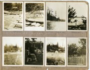
2 loose pages from a photograph album containing 15 black and white photographs
History / Biographical
(Obituary from the Powell River Peak: http://www.prpeak.com/articles/2012/12/04/community/obituaries/doc50b6568a6c710870190038.txt)
Annabelle Jane Smith (née Graham), April 10, 1940 – November 19, 2012
Annabelle passed away in Quesnel, BC. She is survived by her daughters Darlene (Dan) Johnson and Paulene Smith, and two granddaughters Brittney and Brooke. She also leaves behind her sisters Penny (Harold) Tuck, Bonnie Skoropad, and Marilyn (Jim) Schmor, brother Robert and many nieces and nephews.
Custodial History
These photographs were mailed to CIMAS in 2008. There is no signed donation form.
Scope and Content
These photographs depict people ((Needs ID) and houses in Whaletown Bay, to the west of the present-day ferry landing. They are labelled "Whaletown B.C., my Dad's place".
Series consists of clippings related to issues concerning Cortes Island, including ferry service and electrical power, building codes and the CIRA vs Raven Lumber court case.
Series consists of clippings related to issues concerning Cortes Island, including ferry service and electrical power, building codes and the CIRA vs Raven Lumber court case.
Series consists of a hand drawn map of Cortes Island showing places of interest to visitors, maps showing the location of hydro distribution lines on Cortes Island, maps related to zoning and rezoning on Cortes Island, the Official Settlement Plan, and a drawing showing an engineering plan for the Whaletown ferry terminal.
Series consists of a hand drawn map of Cortes Island showing places of interest to visitors, maps showing the location of hydro distribution lines on Cortes Island, maps related to zoning and rezoning on Cortes Island, the Official Settlement Plan, and a drawing showing an engineering plan for the Whaletown ferry terminal.
Photograph of Billy Tait standing on the dock in Whaletown. The channel marker and houses near the present-day ferry dock can be seen in the background.
Photograph of Billy Tait standing on the dock in Whaletown. The channel marker and houses near the present-day ferry dock can be seen in the background.
File contains various local publications: Blue Jay Lake Gardening Partners newsletter, BC Ferries newsletter, Whaletown National Enquirer and SCCA newsletter.
File contains various local publications: Blue Jay Lake Gardening Partners newsletter, BC Ferries newsletter, Whaletown National Enquirer and SCCA newsletter.