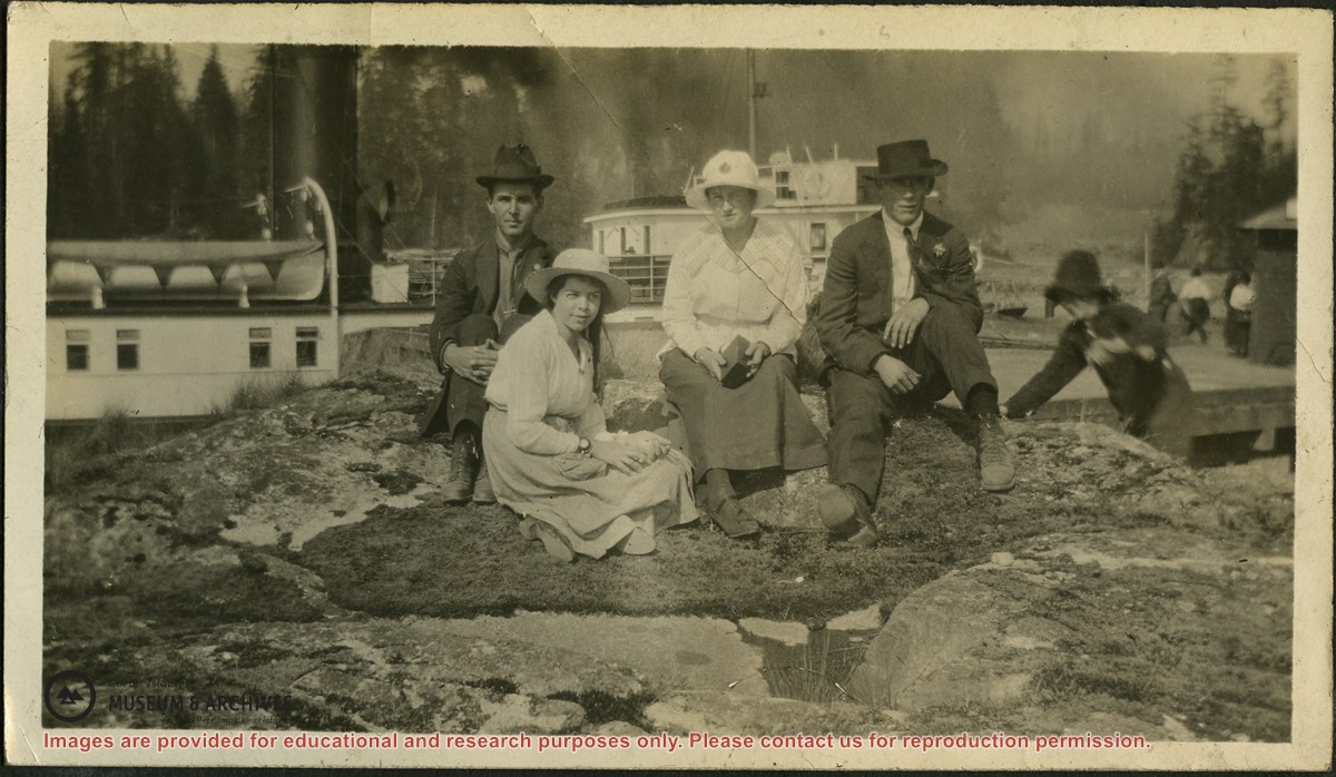
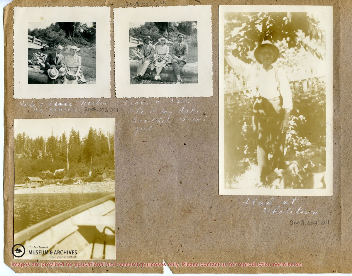
Photograph of Allan (last name?), Pete (Margaret Middleton), Chickie (real name?) and Henry (last name?) seated on a rock beside the dock in Whaletown. A Union Steamship is behind them and the wharf and freight shed are to the right.
Photograph of Allan (last name?), Pete (Margaret Middleton), Chickie (real name?) and Henry (last name?) seated on a rock beside the dock in Whaletown. A Union Steamship is behind them and the wharf and freight shed are to the right.
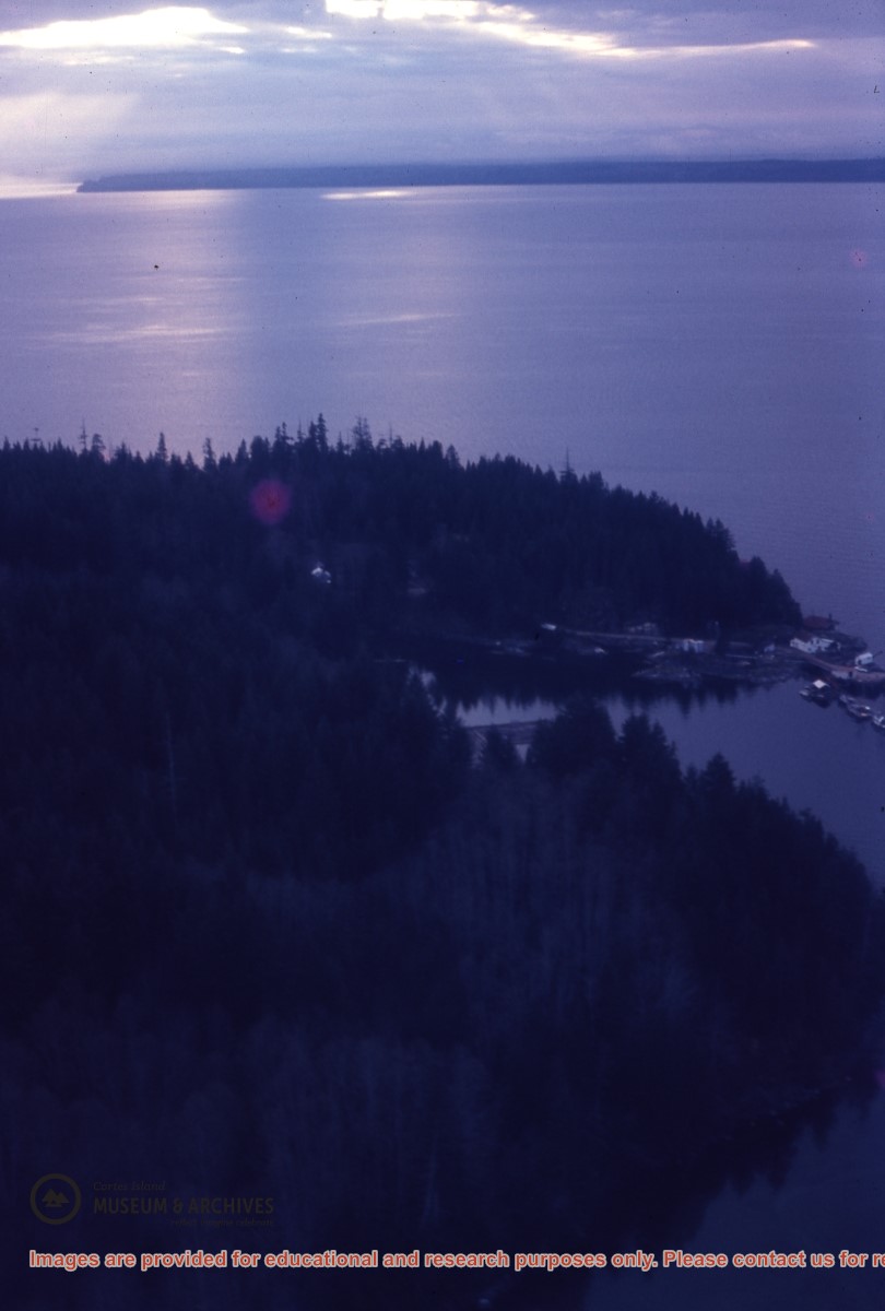
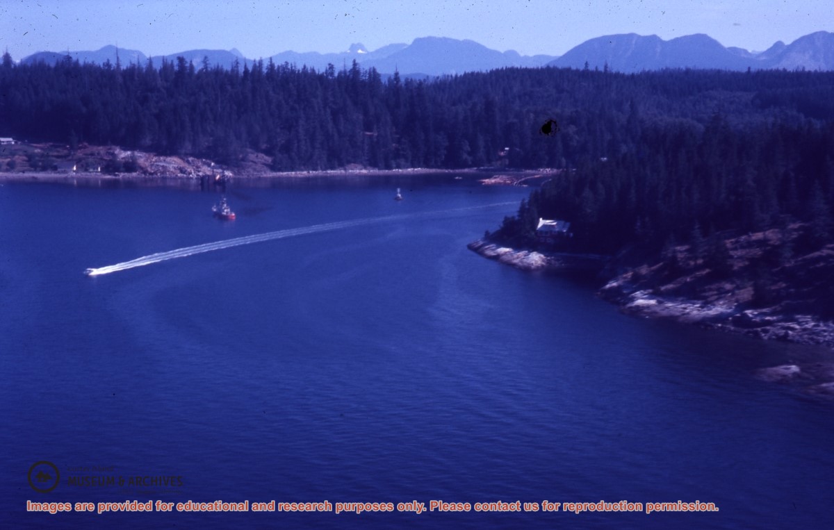
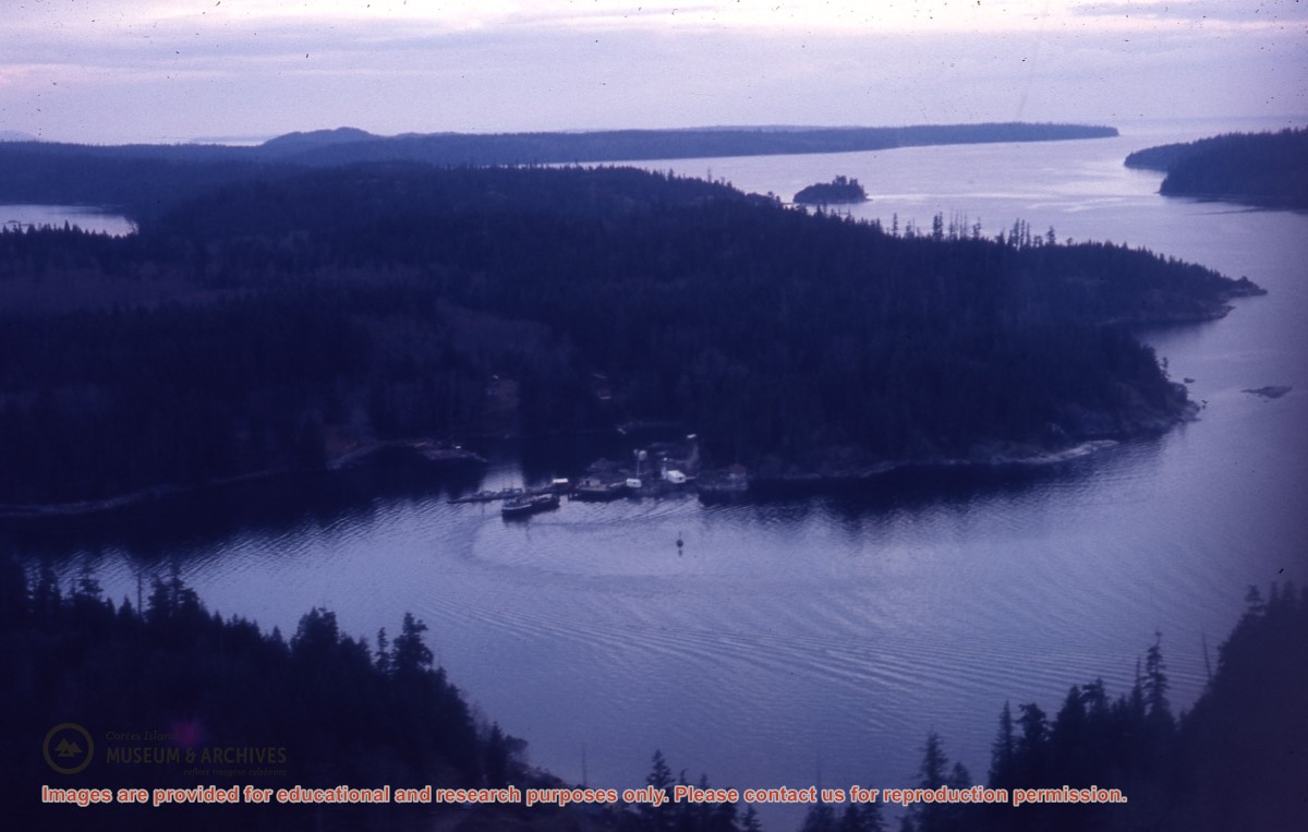
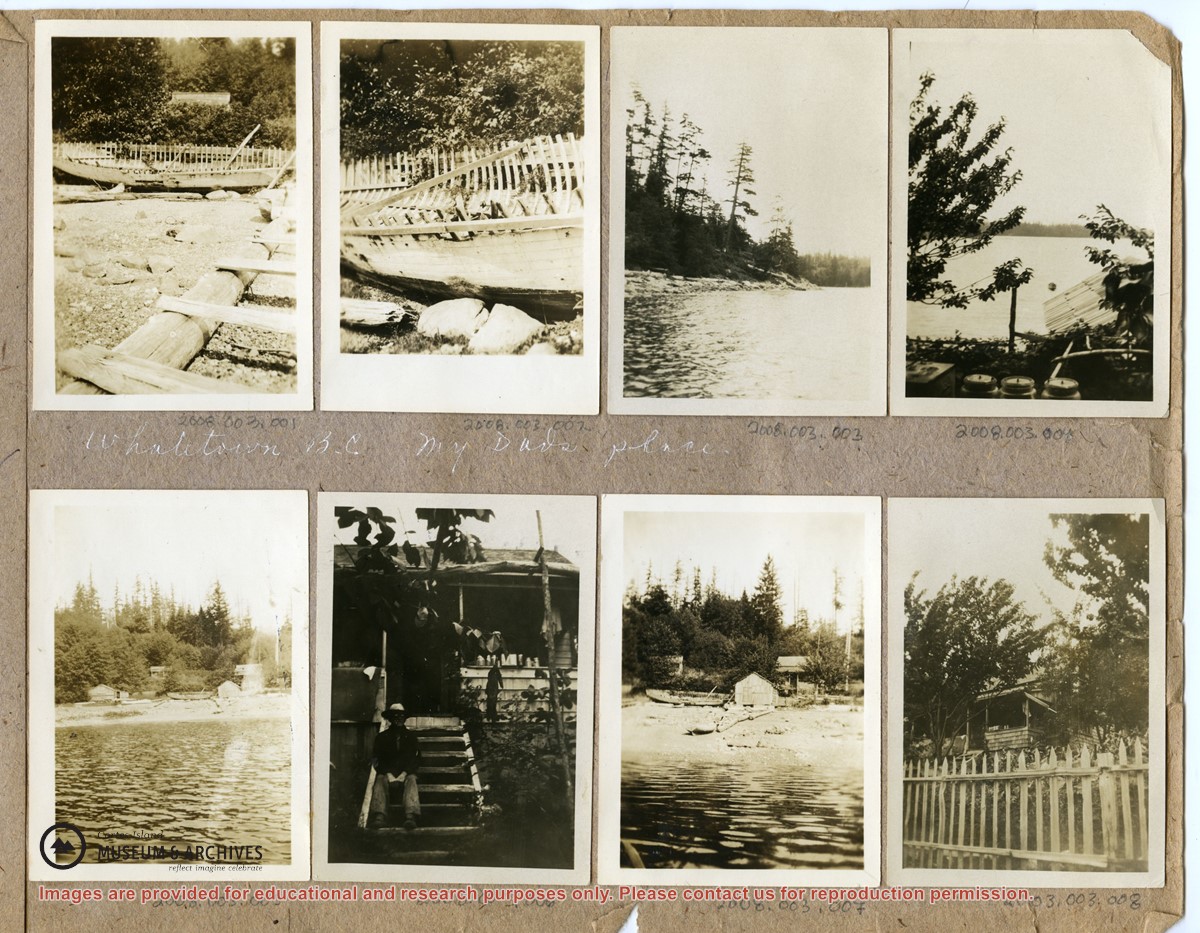
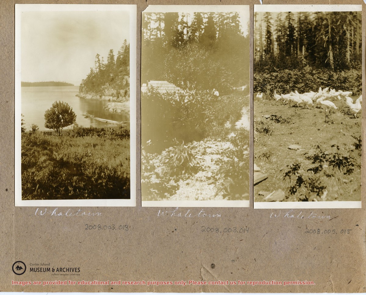
These photographs depict people ((Needs ID) and houses in Whaletown Bay, to the west of the present-day ferry landing. They are labelled "Whaletown B.C., my Dad's place".
2 loose pages from a photograph album containing 15 black and white photographs
History / Biographical
(Obituary from the Powell River Peak: http://www.prpeak.com/articles/2012/12/04/community/obituaries/doc50b6568a6c710870190038.txt)
Annabelle Jane Smith (née Graham), April 10, 1940 – November 19, 2012
Annabelle passed away in Quesnel, BC. She is survived by her daughters Darlene (Dan) Johnson and Paulene Smith, and two granddaughters Brittney and Brooke. She also leaves behind her sisters Penny (Harold) Tuck, Bonnie Skoropad, and Marilyn (Jim) Schmor, brother Robert and many nieces and nephews.
Custodial History
These photographs were mailed to CIMAS in 2008. There is no signed donation form.
Scope and Content
These photographs depict people ((Needs ID) and houses in Whaletown Bay, to the west of the present-day ferry landing. They are labelled "Whaletown B.C., my Dad's place".
The base map is a zoning map produced by the Regional District of Comox-
Strathcona for the Cortes Island Land Use Project (Aug 1969). Edwards used
coloured pencil to show land and foreshore zones, and transferred information
about early preemptions and old roads and trails from an earlier map (see
Donald Palmer fonds, 2020.002.011, map of Cortes Island, Sayward District, ca.
1915).
File contains an over-size sheet containing the Annual Report of the Cortes Island School, filled out by Miss Lettice, and a letter to the Supt. of Education from Robert Froud. [check]
File contains an over-size sheet containing the Annual Report of the Cortes Island School, filled out by Miss Lettice, and a letter to the Supt. of Education from Robert Froud. [check]