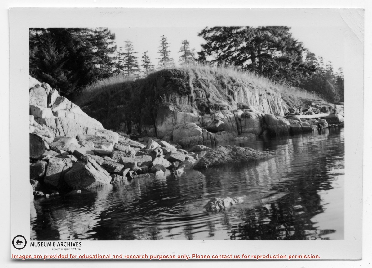
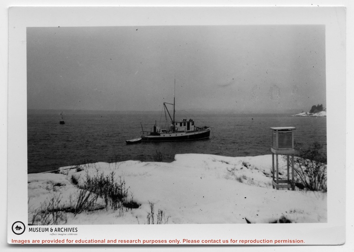
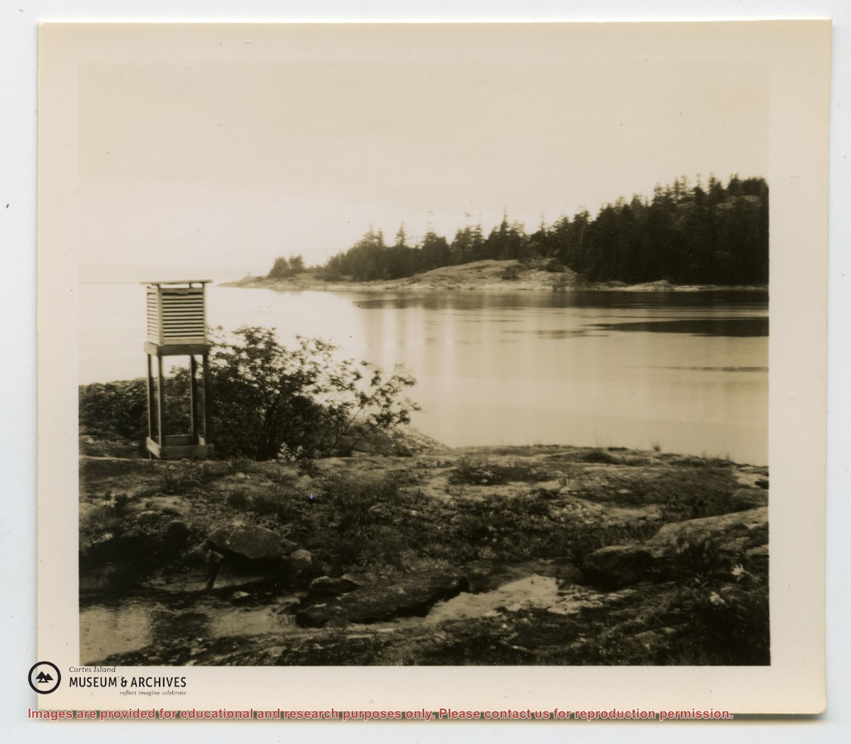
Scanned photograph of Baron & Nellie Jeffery home at Smelt Bay, 1982. Smelt Bay Master Plan, Province of British Columbia, Ministry of Environment and Parks, 1987. Full issue of The Cottage Magazine, article featuring Smelt Bay midden sites, 1997. Excerpt from Seven Knot Summers, Beth Hill. Post cards and greeting cards featuring Smelt Bay, undated.
Scanned photograph of Baron & Nellie Jeffery home at Smelt Bay, 1982. Smelt Bay Master Plan, Province of British Columbia, Ministry of Environment and Parks, 1987. Full issue of The Cottage Magazine, article featuring Smelt Bay midden sites, 1997. Excerpt from Seven Knot Summers, Beth Hill. Post cards and greeting cards featuring Smelt Bay, undated.
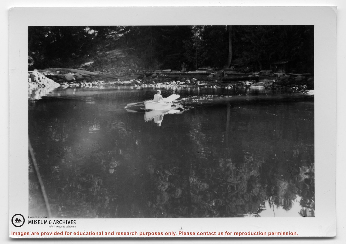
Emails and clippings from Tideline on history of Tiber Bay, including preemptions, Tiber/Teuber family, Manson's Landing cemetery, and the CIMAS driving tour booklet, info from early 1900s-2016.
Emails and clippings from Tideline on history of Tiber Bay, including preemptions, Tiber/Teuber family, Manson's Landing cemetery, and the CIMAS driving tour booklet, info from early 1900s-2016.
Coloured map of southwestern BC showing municipalities, geographical features, land and sea routes, natural resources, etc. The back of the map is fully printed with information about BC and suggested travel itineraries.
Map needs preservation: edges are frayed and there are several tears.
Coloured map of southwestern BC showing municipalities, geographical features, land and sea routes, natural resources, etc. The back of the map is fully printed with information about BC and suggested travel itineraries.
Map needs preservation: edges are frayed and there are several tears.
The base map is a zoning map produced by the Regional District of Comox-
Strathcona for the Cortes Island Land Use Project (Aug 1969). Edwards used
coloured pencil to show land and foreshore zones, and transferred information
about early preemptions and old roads and trails from an earlier map (see
Donald Palmer fonds, 2020.002.011, map of Cortes Island, Sayward District, ca.
1915).