File contains a photocopied section map of the northern part of Cortes Island (from just south of Gorge Harbour), coloured to indicate areas for which a Crown Grant was located and areas of ungranted Crown land which still appear to be owned by the government. Scale is 1 mile to 1 inch.
File contains a photocopied section map of the northern part of Cortes Island (from just south of Gorge Harbour), coloured to indicate areas for which a Crown Grant was located and areas of ungranted Crown land which still appear to be owned by the government. Scale is 1 mile to 1 inch.
File contains a key map and list for the areas researched and information on the following:
George Herbert Wailes: 1920, Crown Grant for fractional SW 1/4 of Sec. 48; 48 acres for $217; with a tax sale notice, 1939
Ina Vernon Munro: 1920, Crown Grant for NE 1/4 of Sec. 37; 161 acres; includes a sale to Hawkins and a forfeit in 1939
Allan Olmsted: 1939, Crown Grant for SW 1/4 of Sec. 37
Ira Furry: 1911, Crown Grant for W 1/2 of SE 1/4 of Sec. 33
Walter Malcolm: 1919, Crown Grant for fractional SW 1/4 of Sec. 36
Frank Leslie Tooker: 1926, Crown Grant for N 1/2 of Sec. 36, 124 acres
Ira Furry: 1897, Crown Grant for SE 1/4 of Sec 36; 160 acres for $160.00.
Donald McDonald: 1926, Crown Grant for fractional NW 1/2 of Sec. 37; 144 acres for $1.00
File contains a map key to the areas of Sections 17, 18, 19, 22 and 34 (south of Gorge Harbour) which were researched (Information in Files 3-7).
It contains photocopies of original land grants and subsequent conveyances for the following:
Reginald James Smith: 1946, Crown Grant 165414I for fractional SE 1/4 of Sec 23, 1946 (the Thunder Road subdivision at the eastern end of Gorge Harbour).
(Files 3 through 7 are from the same envelope.)
Photograph postcard of the Whaletown Church. Originally from the collection of Gilean Douglas.
Note - There is a digital enlargement of this postcard in the oversize box. This same postcard is found in other fonds (Items 2003.002.024 and 2019.023.013).
Photograph postcard of the Whaletown Church. Originally from the collection of Gilean Douglas.
Note - There is a digital enlargement of this postcard in the oversize box. This same postcard is found in other fonds (Items 2003.002.024 and 2019.023.013).
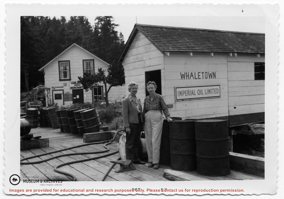
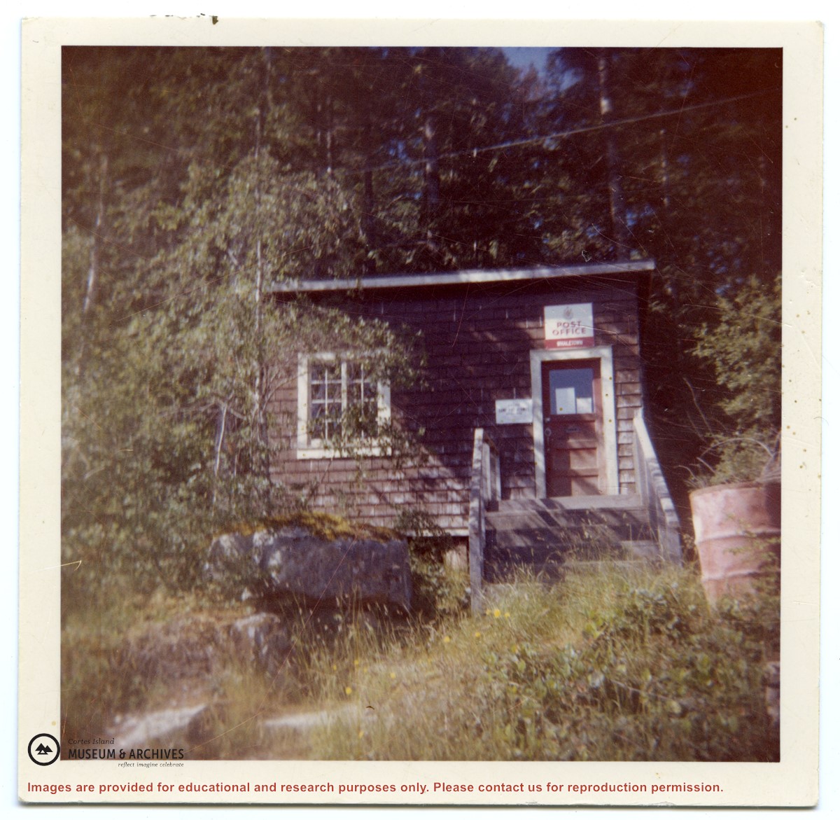
The post office was built in this location (on the property of 315 Whaletown Rd) in 1947. In 1981 it was moved across the road next to the parking area of the Whaletown store.
Likely originally from the collection of the Weiler family.
The post office was built in this location (on the property of 315 Whaletown Rd) in 1947. In 1981 it was moved across the road next to the parking area of the Whaletown store.
Likely originally from the collection of the Weiler family.
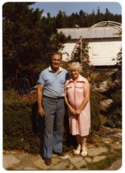
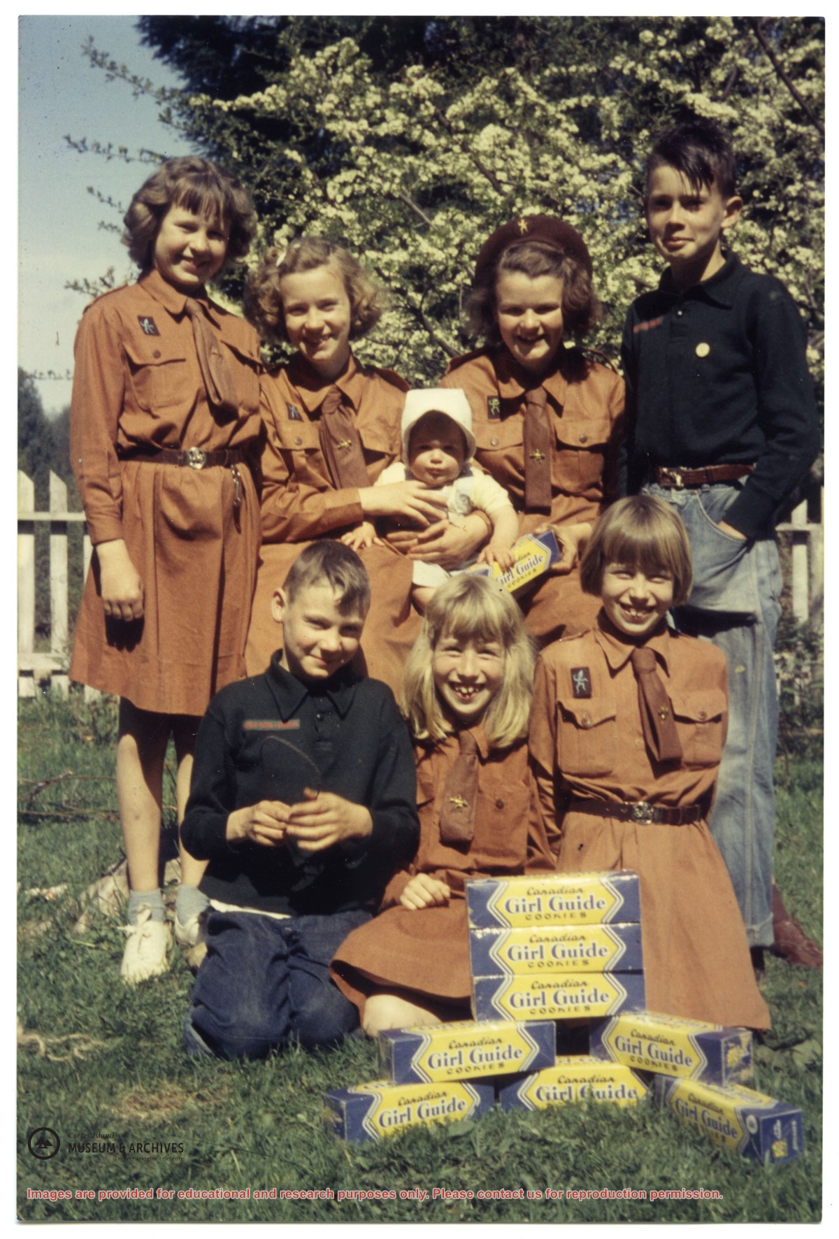
.jpg?width=1200&404=no-img.jpg&watermark=wmk)
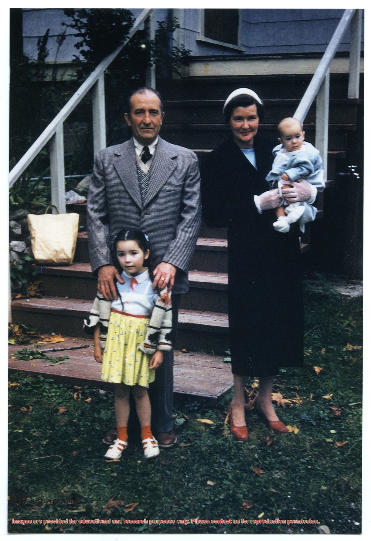
.jpg?width=1200&404=no-img.jpg&watermark=wmk)
.jpg?width=180&404=no-img.jpg)