The base map is a zoning map produced by the Regional District of Comox-
Strathcona for the Cortes Island Land Use Project (Aug 1969). Edwards used
coloured pencil to show land and foreshore zones, and transferred information
about early preemptions and old roads and trails from an earlier map (see
Donald Palmer fonds, 2020.002.011, map of Cortes Island, Sayward District, ca.
1915).
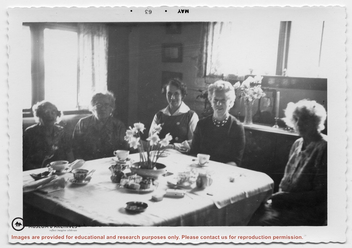
Photograph of (L to R) Jessie Hammond, Doris Maclean, Madeleine Emmanuelson, Jessie Thornton, and Louise Kendrick, seated at a table set for tea. (Duplicate of 1999.001.0764)
Photograph of (L to R) Jessie Hammond, Doris Maclean, Madeleine Emmanuelson, Jessie Thornton, and Louise Kendrick, seated at a table set for tea. (Duplicate of 1999.001.0764)
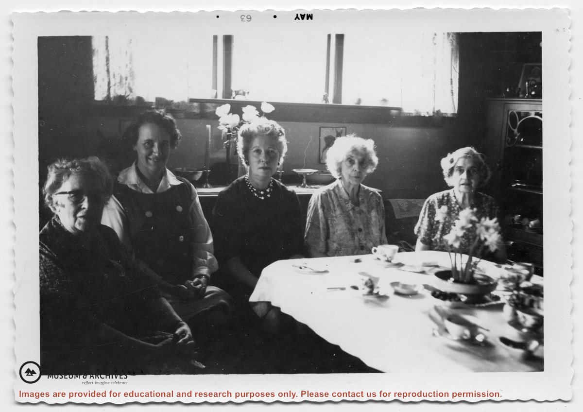
L to R: Louise Kendrick, Jessie Hammond, Doris Maclean, Madeleine Emmanuelson, Jessie Thornton, seated around a table. This is the same event as 1999.001.0317 and 1999.001.0764)
L to R: Louise Kendrick, Jessie Hammond, Doris Maclean, Madeleine Emmanuelson, Jessie Thornton, seated around a table. This is the same event as 1999.001.0317 and 1999.001.0764)