File contains five maps of Hernando Island: two showing plans of pre-emptions, 1891-1892; two copies of an old hand-drawn map, 1955; and one map of a later proposed development (undated). Some maps have notes on homesteads.
File contains five maps of Hernando Island: two showing plans of pre-emptions, 1891-1892; two copies of an old hand-drawn map, 1955; and one map of a later proposed development (undated). Some maps have notes on homesteads.
File contains maps of Bute Inlet (1970), Cortes Island/Read Island and surrounding area (ca. 1950), Powell River (1968) and Cortes Island zoning maps (Jan 1974).
File contains maps of Bute Inlet (1970), Cortes Island/Read Island and surrounding area (ca. 1950), Powell River (1968) and Cortes Island zoning maps (Jan 1974).
File contains a help-wanted ad for ferry positions and the third section of the Campbell River Upper Islander (Nov. 26, 1969) with a photo-story on the inaugural trip of the Cortes ferry. On page 3 is "Cortes Grapevine" with an account of Andy and Susan Ellingsen's wedding.
File contains a help-wanted ad for ferry positions and the third section of the Campbell River Upper Islander (Nov. 26, 1969) with a photo-story on the inaugural trip of the Cortes ferry. On page 3 is "Cortes Grapevine" with an account of Andy and Susan Ellingsen's wedding.
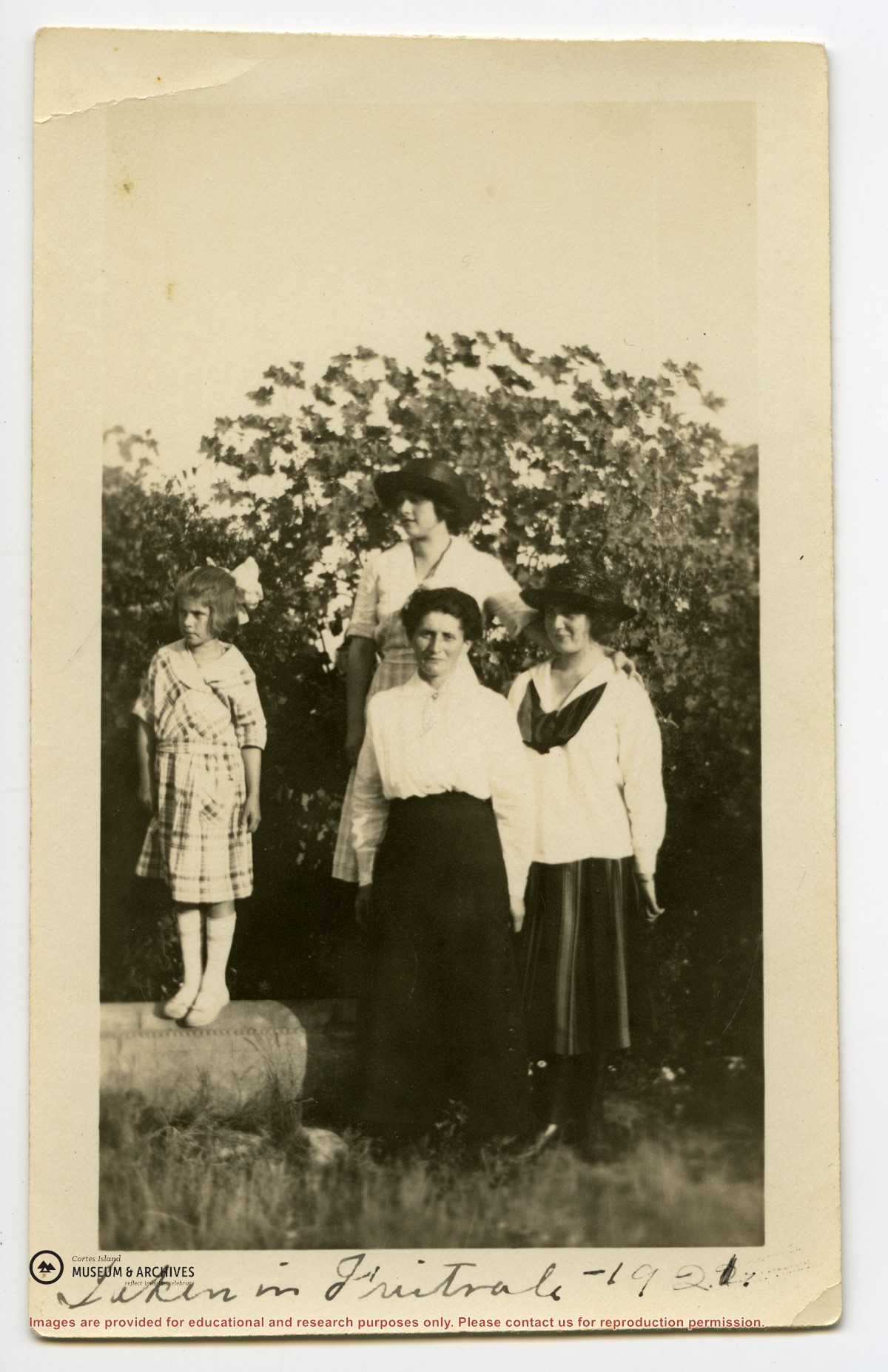
"Robina (Manson) Freeman's picture of baby Magnonie (Magnone?) (6 months old) of Union Bay, Vancouver Island. (Mother a girlhood friend when the Mike Manson family lived there.)
"Robina (Manson) Freeman's picture of baby Magnonie (Magnone?) (6 months old) of Union Bay, Vancouver Island. (Mother a girlhood friend when the Mike Manson family lived there.)
File contains grocery and supply invoices and Union Steamships bills of lading submitted by May & Elmer Ellingsen for expenses incurred at three of Sigurd Ellingsen's logging camps.
File contains grocery and supply invoices and Union Steamships bills of lading submitted by May & Elmer Ellingsen for expenses incurred at three of Sigurd Ellingsen's logging camps.
File contains hand-drawn maps from the early 1900s. There are two copies of the plan of part of SW 1/4 of Section 34; a plan of Gorge Harbour with names of owners written in; and a plan showing part of Read Island.
File contains hand-drawn maps from the early 1900s. There are two copies of the plan of part of SW 1/4 of Section 34; a plan of Gorge Harbour with names of owners written in; and a plan showing part of Read Island.
Series consists of records accumulated by Elmer and May Ellingsen in the course of their active involvement in community affairs. It includes correspondence, bulletins and newsletters from various island organizations about matters such as eco-forestry, parks, local government initiatives, ferry service and electrical service.
Series consists of records accumulated by Elmer and May Ellingsen in the course of their active involvement in community affairs. It includes correspondence, bulletins and newsletters from various island organizations about matters such as eco-forestry, parks, local government initiatives, ferry service and electrical service.

.jpg?width=1200&404=no-img.jpg&watermark=wmk)
.jpg?width=1200&404=no-img.jpg&watermark=wmk)
.jpg?width=180&404=no-img.jpg)