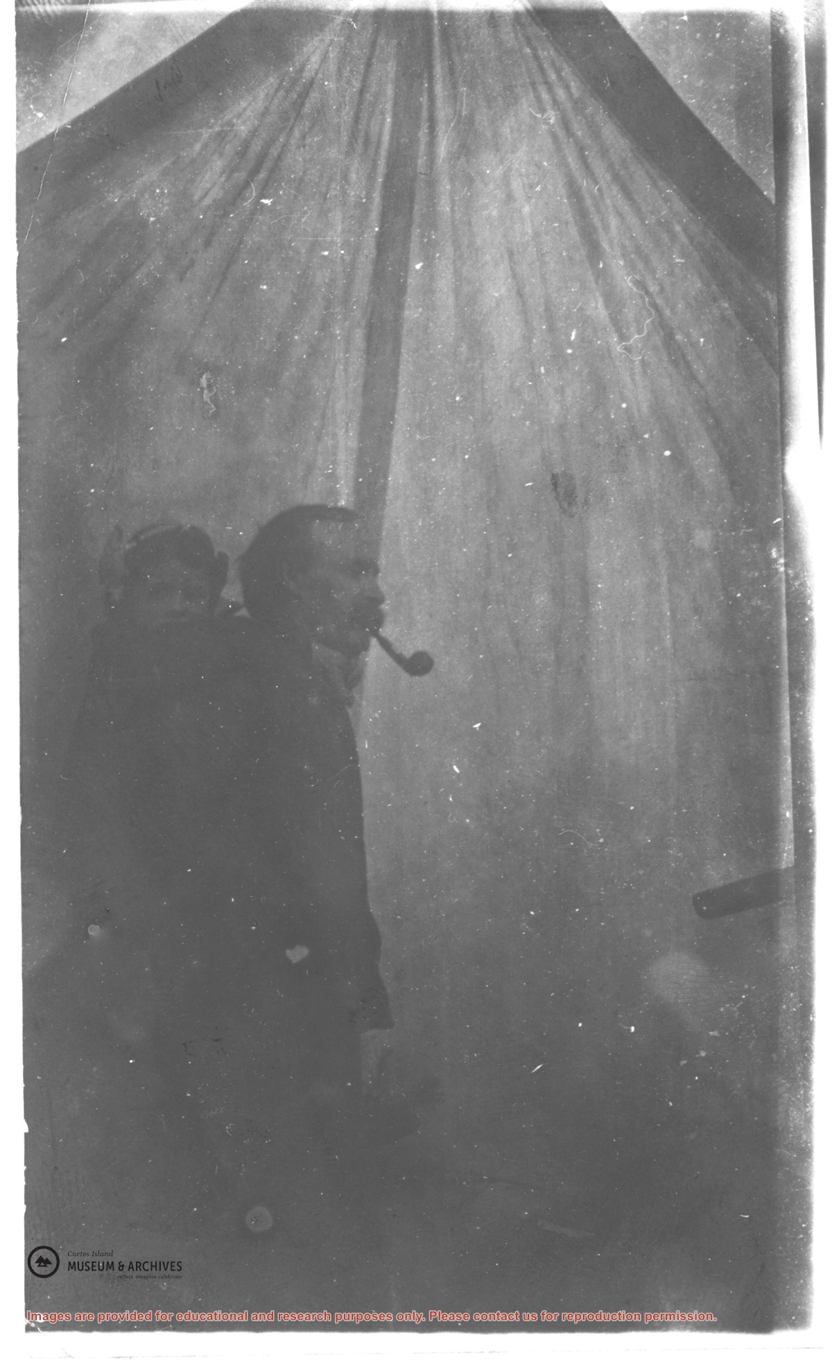
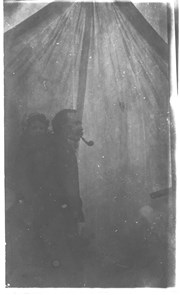
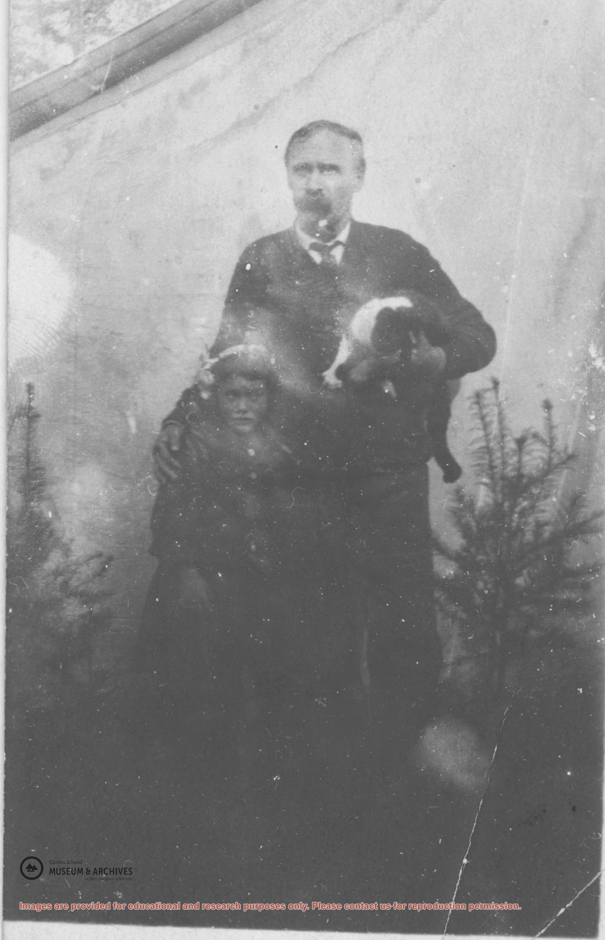
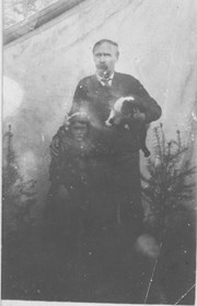
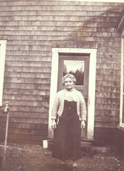
Mr. David Forrest with his daughter Margaret on his back in front of the tent set up at the Nakatsui Ranch (now known as the Loon Ranch) near John Manson's property, Sunny Brae farm, where the family lived for a short time before settling at Squirrel Cove.
Mr. David Forrest with his daughter Margaret on his back in front of the tent set up at the Nakatsui Ranch (now known as the Loon Ranch) near John Manson's property, Sunny Brae farm, where the family lived for a short time before settling at Squirrel Cove.
Mr. Forrest with his daughter Margaret in front of the tent, set up near John Manson's property, where the family lived for a short time before settling at Squirrel Cove.
Mr. Forrest with his daughter Margaret in front of the tent, set up near John Manson's property, where the family lived for a short time before settling at Squirrel Cove.
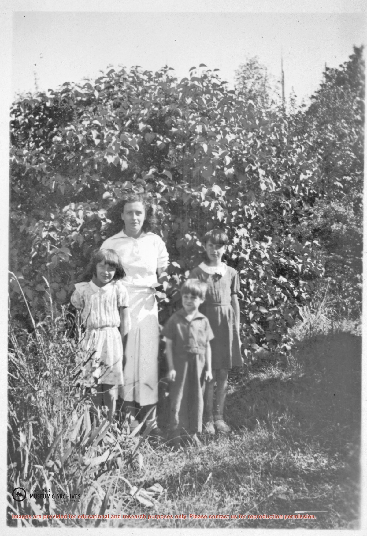
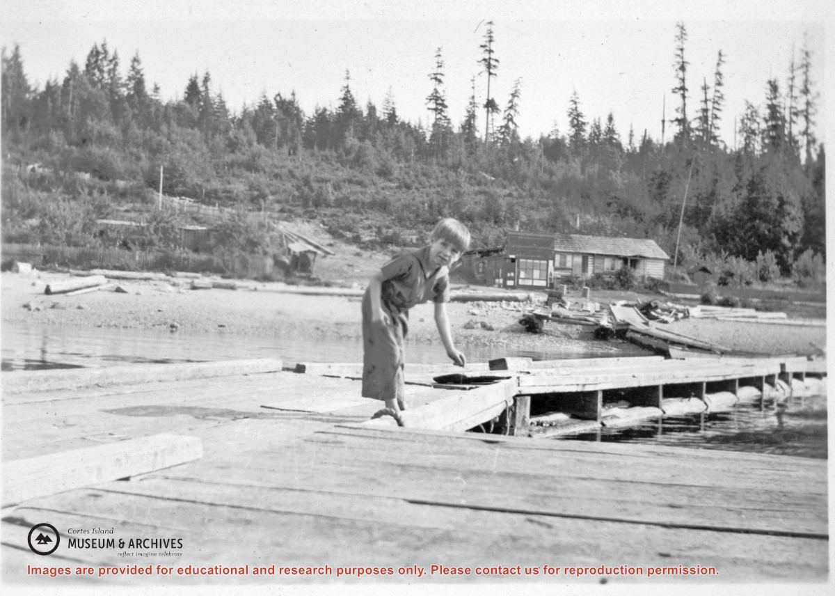
Mrs. George Ewart standing behind the Middleton house at Squirrel Cove. Mrs. George Ewart and husband George Ewart owned the Squirrel Cove Store and the Boarding Rooms. This is the same building which is the present day (2009) Squirrel Cove Store. It was built by Jack Shaler.
Mrs. George Ewart standing behind the Middleton house at Squirrel Cove. Mrs. George Ewart and husband George Ewart owned the Squirrel Cove Store and the Boarding Rooms. This is the same building which is the present day (2009) Squirrel Cove Store. It was built by Jack Shaler.
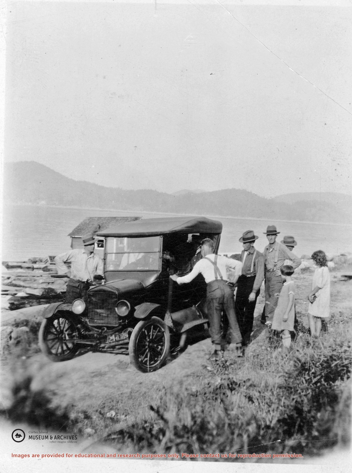
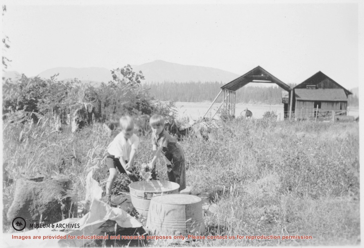
Billy Morrison and Harry Middleton Jr. playing beside two wash tubs. In the background is the boat ways with roof to the west of the Middleton machine shop (peaked roof) and the shed-roofed blacksmith shop and engine room. Boats were pulled up with a two-speed winch powered by a single-cylinder Easthope with a water hopper cooling the motor.
Billy Morrison and Harry Middleton Jr. playing beside two wash tubs. In the background is the boat ways with roof to the west of the Middleton machine shop (peaked roof) and the shed-roofed blacksmith shop and engine room. Boats were pulled up with a two-speed winch powered by a single-cylinder Easthope with a water hopper cooling the motor.
File contains a key map which was pasted on the front of the envelope indicating the areas researched for Files 12-16; notes on the titles; photocopies of Crown Grants and subsequent title information for:
BC Buildings Corp: 1982, Crown Grant for Block A of SW 1/4 of Sec. 25 (Highways Maintenance Yard)
District Lot 871 (40 acres between Carrington and Coulter Bays): to James Frederick McManus, 1919
To Ernest Henry Vaughn: 1922, Crown Grant for NE 1/4 and NW 1/4 of NE 1/4 of Sec. 24; SE 1/4 of SW 1/4 and SW 1/4 of SE 1/4 of Sec 31
Herbert Proctor: 1928 for fractional SW 1/4 of Sec. 41, bordering Tork Reserve; 159 acres for $159.00 (orig. Crown Grant to Herbert Proctor in 1922)
To William Cowan: 1937, E 1/2 of SE 1/4 of Sec. 26, 89 acres
(Files 12 through 16 are from the same envelope.)
File contains photocopies of original Crown Grants, subsequent title changes and maps for:
To Joseph Gregson: 1926, Crown Grant for fractional W 1/2 of Lot 899 and Lot 901 (between Coulter and Carrington Bays), with a water easement for Wailes
To John Nugent McIllree: 1957, Crown Grant of mineral rights to lots at Coulter Bay surveyed as the "Arrow" and "Bullseye" mineral claims
To Hilda Peterson: 1919, Crown Grant for Lot 878, Carrington Bay, 55 acres
(Files 12 through 16 are from the same envelope.)
File contains a page of notes, and photocopies of a tax sale notice (1938) and list of properties forfeited for non-payment of taxes, Crown Grants and other title information for the following:
William Walter James: 1926, Crown Grant for NW 1/4 of Sec. 38; 156 acres for $1.00; forfeited to Crown in 1939
Tom Albinson: 1919, Crown Grant for Lot 867; forfeited in 1927
Sadie McMurray: 1917, NE 1/4 of Sec. 39; 160 acres for $160
Peter Police: 1925, fractional NW 1/4 of Sec. 39; 103 acres for $1.00
(Files 12 through 16 are from the same envelope.)
File contains information for the following properties:
E. H. Vaughn: 1893, Crown Grant for fractional N 1/2 of Sec. 22; 90 acres for $90.00.
James P. Allen: 1913, Crown Grant for NW 34 acres of Sec. 23; $170.00
Bernard Robinson Allen: 1919, Crown Grant for SW 1/4 of Sec. 23, 159 acres
Charles Allen: 1912, Crown Grant for SW 1/4 of Sec. 33; 160 acres for $160.00
Harold Marshall Wood: Crown Grant for E 1/2 of NE 1/4 of Sec. 46 (east of Carrington Bay); 81 acres for $1.00.
File contains the following maps, stored in the Map Cabinet:
Subdivision Plan of parcel C & E, NW 1/4 of Sec. 21, 1976
Subdivision of the fractional NE 1/4 of Sec 21, 1966; with names of property owners penciled in
Subdivision Plan of Parcel C and part of Parcel E of fractional NE 1/4 of Sec. 21, 1975
Subdivision Plan of fractional NE 1/4 of Sec. 21 and W 1/2 of SW 1/4 of Sec. 34
(Files 17 through 19 are from the same envelope.)
File contains minutes, agendas and other material relating to meetings of the Klahoose Table, attended by members of CILAC, Klahoose First Nations and government negotiators. It includes material relating to a proposed park at Carrington Bay.
File contains minutes, agendas and other material relating to meetings of the Klahoose Table, attended by members of CILAC, Klahoose First Nations and government negotiators. It includes material relating to a proposed park at Carrington Bay.