Two men standing beside a car in the valley at Knight Inlet. Logging camp buildings may be seen in the background. This is a near-duplicate of 1999.001.1053.
One of a series of photographs taken at Clarence and Doug Boardman's Dot Logging Co. camp in Knight Inlet.
2 photograph prints: b&w ; 18 x 12 cm & 21.5 x 16.5
Scope and Content
Two men standing beside a car in the valley at Knight Inlet. Logging camp buildings may be seen in the background. This is a near-duplicate of 1999.001.1053.
One of a series of photographs taken at Clarence and Doug Boardman's Dot Logging Co. camp in Knight Inlet.
File contains information for the following properties:
E. H. Vaughn: 1893, Crown Grant for fractional N 1/2 of Sec. 22; 90 acres for $90.00.
James P. Allen: 1913, Crown Grant for NW 34 acres of Sec. 23; $170.00
Bernard Robinson Allen: 1919, Crown Grant for SW 1/4 of Sec. 23, 159 acres
Charles Allen: 1912, Crown Grant for SW 1/4 of Sec. 33; 160 acres for $160.00
Harold Marshall Wood: Crown Grant for E 1/2 of NE 1/4 of Sec. 46 (east of Carrington Bay); 81 acres for $1.00.
File contains the following maps, stored in the Map Cabinet:
Subdivision Plan of parcel C & E, NW 1/4 of Sec. 21, 1976
Subdivision of the fractional NE 1/4 of Sec 21, 1966; with names of property owners penciled in
Subdivision Plan of Parcel C and part of Parcel E of fractional NE 1/4 of Sec. 21, 1975
Subdivision Plan of fractional NE 1/4 of Sec. 21 and W 1/2 of SW 1/4 of Sec. 34
(Files 17 through 19 are from the same envelope.)
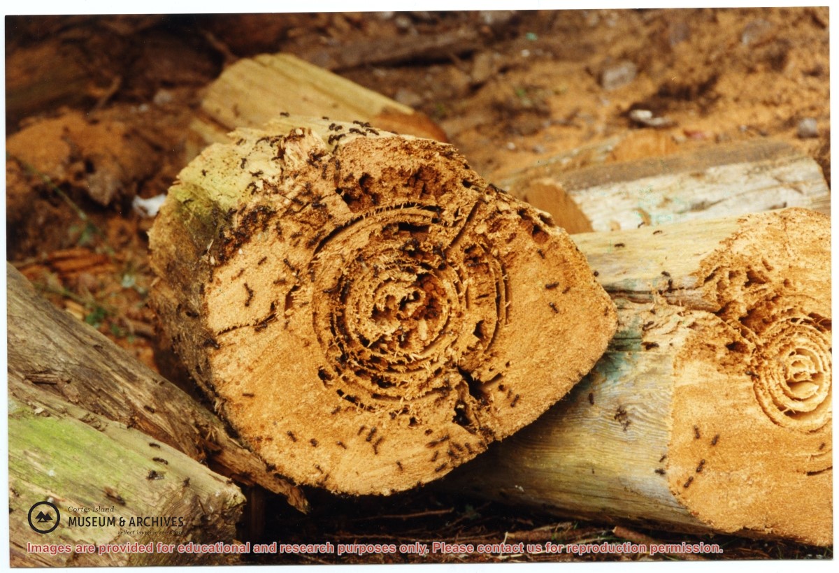
One of a series of photographs of volunteers removing the remains of shacks at Carrington Bay when Carrington Bay Marine Park was established.
L to R: Cedar DeTrey, Mike ?, John Shook
One of a series of photographs of volunteers removing the remains of shacks at Carrington Bay when Carrington Bay Marine Park was established.
L to R: Cedar DeTrey, Mike ?, John Shook
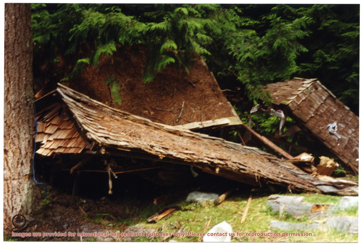
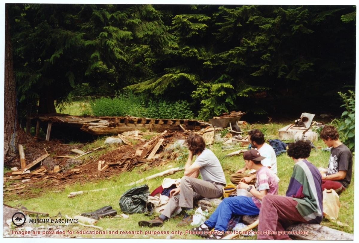
One of a series of photographs of volunteers removing the remains of shacks at Carrington Bay when Carrington Bay Marine Park was established.
L to R: John Shook, Justin Stirn, Pierre DeTrey, Kiyoshi Kosky, Cedar DeTrey.
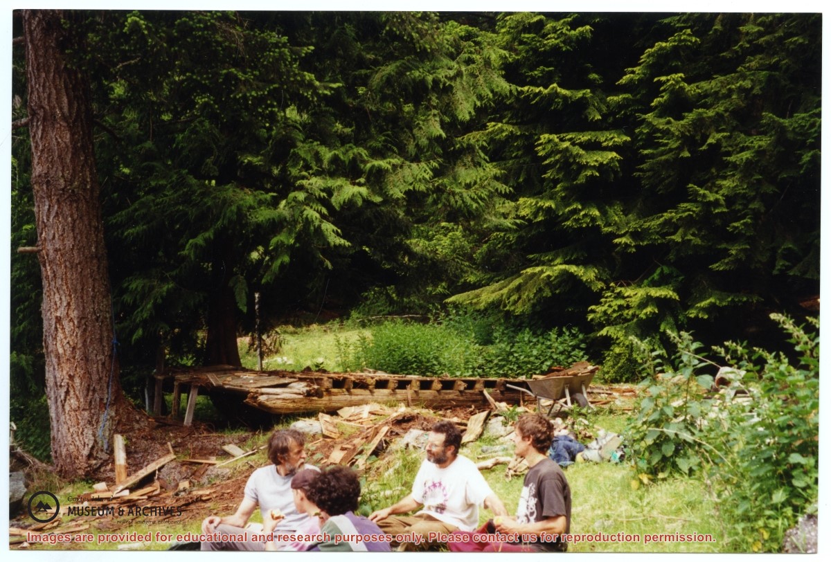
One of a series of photographs of volunteers removing the remains of shacks at Carrington Bay when Carrington Bay Marine Park was established.
L to R: John Shook, Justin Stirn, Pierre DeTrey, Kiyoshi Kosky, Cedar DeTrey.
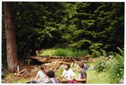
One of a series of photographs of volunteers removing the remains of shacks at Carrington Bay when Carrington Bay Marine Park was established.
L to R: Kiyoshi Kosky, Pierre DeTrey, Cedar DeTrey
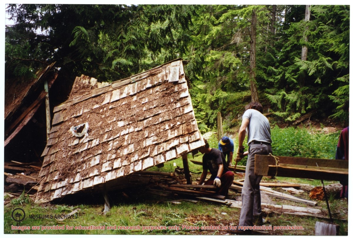
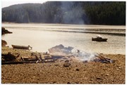
One of a series of photographs of volunteers removing the remains of shacks at Carrington Bay when Carrington Bay Marine Park was established.
L to R: Kiyoshi Kosky, Pierre DeTrey, Cedar DeTrey