This is a copy of a recording made by Imbert Orchard as part of a "People in Landscape" series for the Canadian Broadcasting Corporation. In this program, some of the people who grew up on Cortes Island recall how the settlement began, and discuss the quality of life there -- as it is today, and as it used to be. Voices heard include: Otto and Mary Weiler, Elmer and May Ellingsen, Rose (Manson) MacKay, Allen Robertson, and Duncan Robertson.
Tape was found at the Cortes Island Recycling Center and donated to the museum by Gail Ringwood on Oct. 3, 2004. Original owner is unknown.
Scope and Content
This is a copy of a recording made by Imbert Orchard as part of a "People in Landscape" series for the Canadian Broadcasting Corporation. In this program, some of the people who grew up on Cortes Island recall how the settlement began, and discuss the quality of life there -- as it is today, and as it used to be. Voices heard include: Otto and Mary Weiler, Elmer and May Ellingsen, Rose (Manson) MacKay, Allen Robertson, and Duncan Robertson.
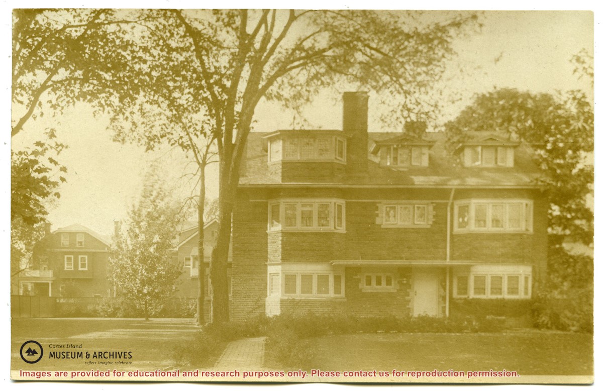
Letter from Mary Marlatt to Ottie Weiler and photocopied newspaper article with information about the Marlatt family, who lived on Marina Island from 1907-1912
Letter from Mary Marlatt to Ottie Weiler and photocopied newspaper article with information about the Marlatt family, who lived on Marina Island from 1907-1912
File contains six pencil drawings and one watercolour of Channel Rock by Marge Des Marais, a friend of Douglas who lived at Seaford, and one pen and watercolour picture of the cabin by Margery Greene.
File contains six pencil drawings and one watercolour of Channel Rock by Marge Des Marais, a friend of Douglas who lived at Seaford, and one pen and watercolour picture of the cabin by Margery Greene.
The base map is a zoning map produced by the Regional District of Comox-
Strathcona for the Cortes Island Land Use Project (Aug 1969). Edwards used
coloured pencil to show land and foreshore zones, and transferred information
about early preemptions and old roads and trails from an earlier map (see
Donald Palmer fonds, 2020.002.011, map of Cortes Island, Sayward District, ca.
1915).