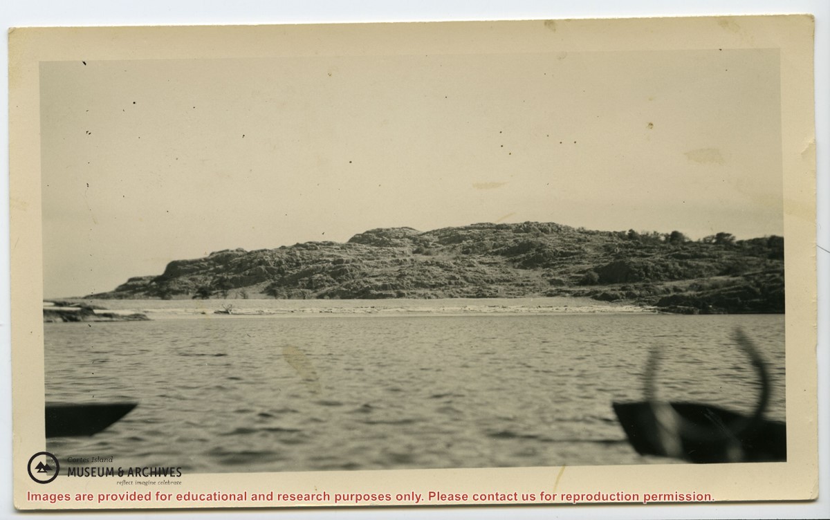
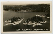
File contains five maps of Hernando Island: two showing plans of pre-emptions, 1891-1892; two copies of an old hand-drawn map, 1955; and one map of a later proposed development (undated). Some maps have notes on homesteads.
File contains five maps of Hernando Island: two showing plans of pre-emptions, 1891-1892; two copies of an old hand-drawn map, 1955; and one map of a later proposed development (undated). Some maps have notes on homesteads.
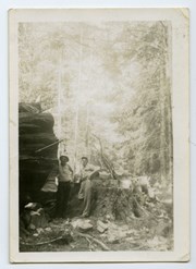
Photograph of Jack Manson (near log) and Jack Parry standing near a huge log and stump on the old road from Ken and Hazel Hansen's farm on Gunflint Lake to Cortes Bay.
Photograph of Jack Manson (near log) and Jack Parry standing near a huge log and stump on the old road from Ken and Hazel Hansen's farm on Gunflint Lake to Cortes Bay.
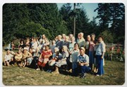
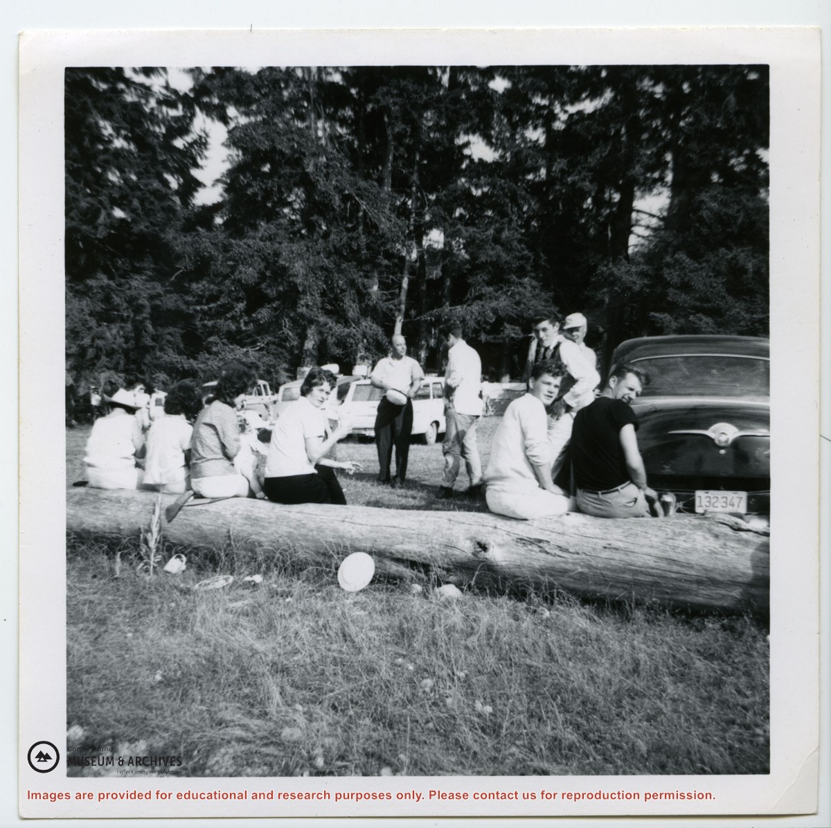
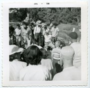
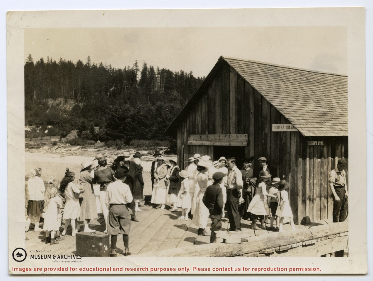
Photograph of a crowd of people on the government dock at Manson's Landing, likely waiting for the arrival of a Union Steamship. They are standing in front of a building sided with vertical shake boards, with "Cortes Island" and "Telegraph Office" signs on its side. View is looking along the Spit.
Photograph of a crowd of people on the government dock at Manson's Landing, likely waiting for the arrival of a Union Steamship. They are standing in front of a building sided with vertical shake boards, with "Cortes Island" and "Telegraph Office" signs on its side. View is looking along the Spit.


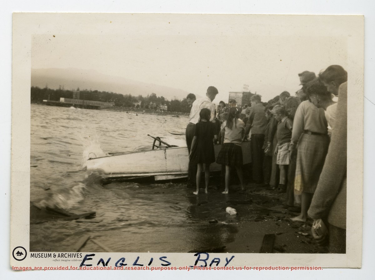

.jpg?width=1200&404=no-img.jpg&watermark=wmk)
.jpg?width=1200&404=no-img.jpg&watermark=wmk)
.jpg?width=180&404=no-img.jpg)