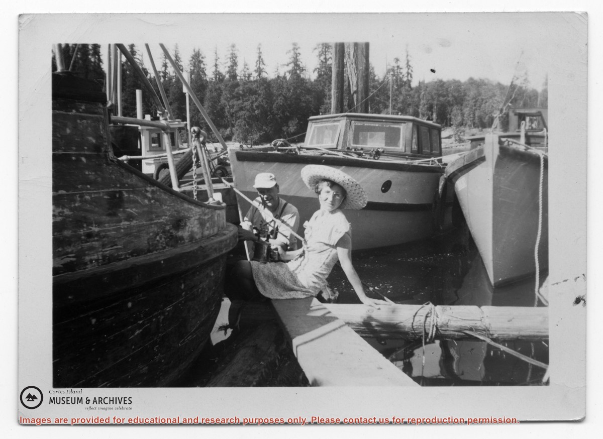
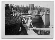
Photograph of Rev. Rollo Boas and his wife Kay scraping paint from the Columbia Coast Mission boat "Rendezvous" at the Whaletown wharf. Ken Slater's troller "Wahkana Bay" is in the background, two unindentified gas boats are tied to the floats. Of note: clearing for the Huck family home in background indicates the year the photo was taken. There are two captions on the back, in different handwriting (top is Gilean Douglas'.)
Photograph of Rev. Rollo Boas and his wife Kay scraping paint from the Columbia Coast Mission boat "Rendezvous" at the Whaletown wharf. Ken Slater's troller "Wahkana Bay" is in the background, two unindentified gas boats are tied to the floats. Of note: clearing for the Huck family home in background indicates the year the photo was taken. There are two captions on the back, in different handwriting (top is Gilean Douglas'.)
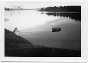
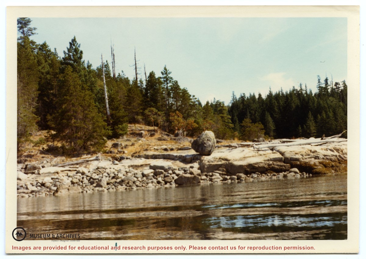
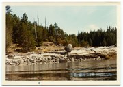
Photograph of a large rock, balanced on the smooth rocks just above the water. Location is between Channel Rock and Whaletown, near the present-day site of the Sherwood's house.
Photograph of a large rock, balanced on the smooth rocks just above the water. Location is between Channel Rock and Whaletown, near the present-day site of the Sherwood's house.
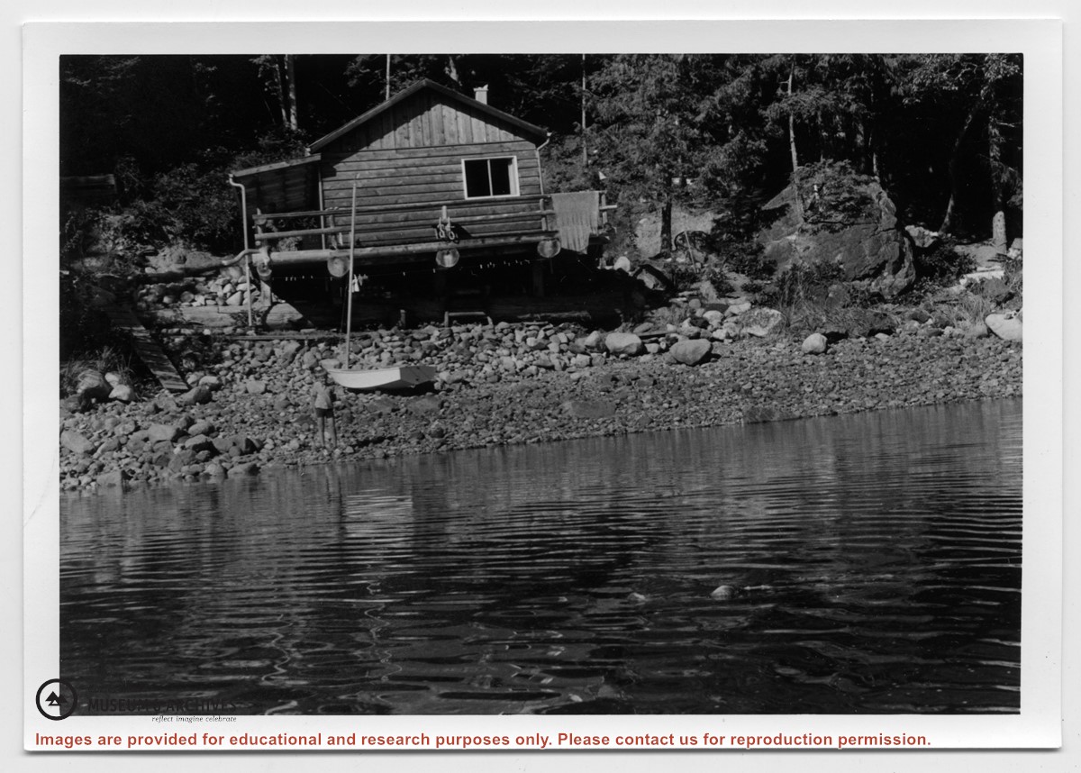
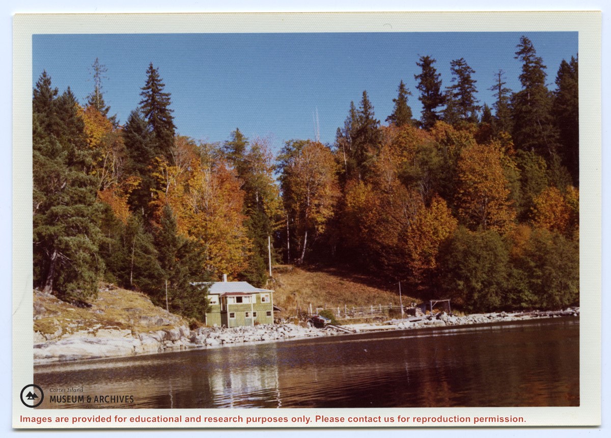
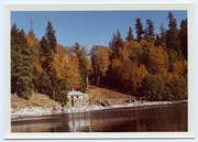
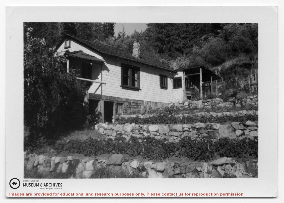
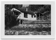
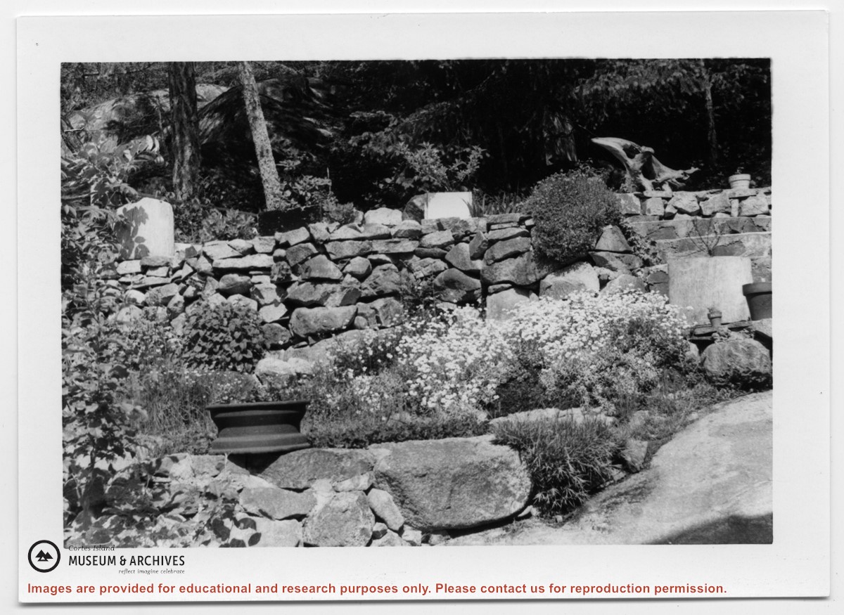
Photograph of a white house with rock-walled terraces to its right. This was Amy and Scotty McKenzie's float house, moved from Von Donop Inlet in 1951. Amy was daughter of Ruth and Henry Byers, who lived in the “Grey House” west of the ferry landing. (The "Grey House" was later moved to Squirrel Cove next to the Store.) The McKenzie house was between the Grey House and the ferry landing; it was torn down ca. 1974. The terraces may still be seen in the small park next to the ferry landing.
Photograph of a white house with rock-walled terraces to its right. This was Amy and Scotty McKenzie's float house, moved from Von Donop Inlet in 1951. Amy was daughter of Ruth and Henry Byers, who lived in the “Grey House” west of the ferry landing. (The "Grey House" was later moved to Squirrel Cove next to the Store.) The McKenzie house was between the Grey House and the ferry landing; it was torn down ca. 1974. The terraces may still be seen in the small park next to the ferry landing.
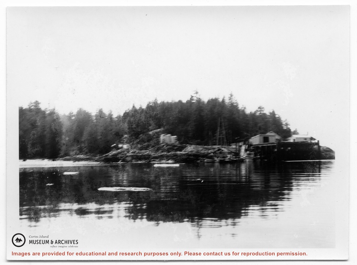
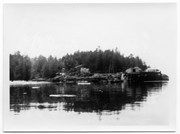
Photograph of Whaletown taken from the water, showing the wharf with the freight shed and fuel shed to its right; the store behind, and the fuel tanks on the rocks to the right.
Photograph of Whaletown taken from the water, showing the wharf with the freight shed and fuel shed to its right; the store behind, and the fuel tanks on the rocks to the right.
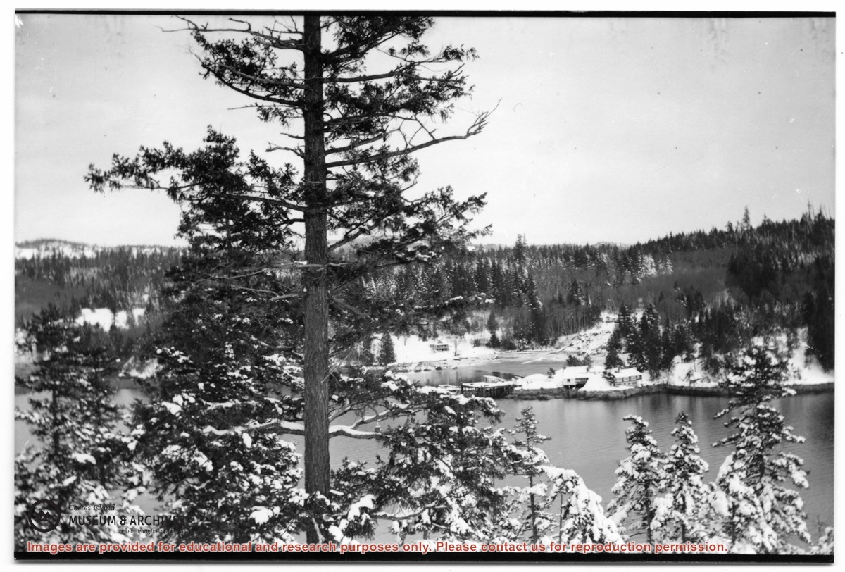
Photograph of Whaletown Bay taken from the water, showing the navigation marker at the entrance, and the houses to the left of the future site of the ferry landing.
Photograph of Whaletown Bay taken from the water, showing the navigation marker at the entrance, and the houses to the left of the future site of the ferry landing.
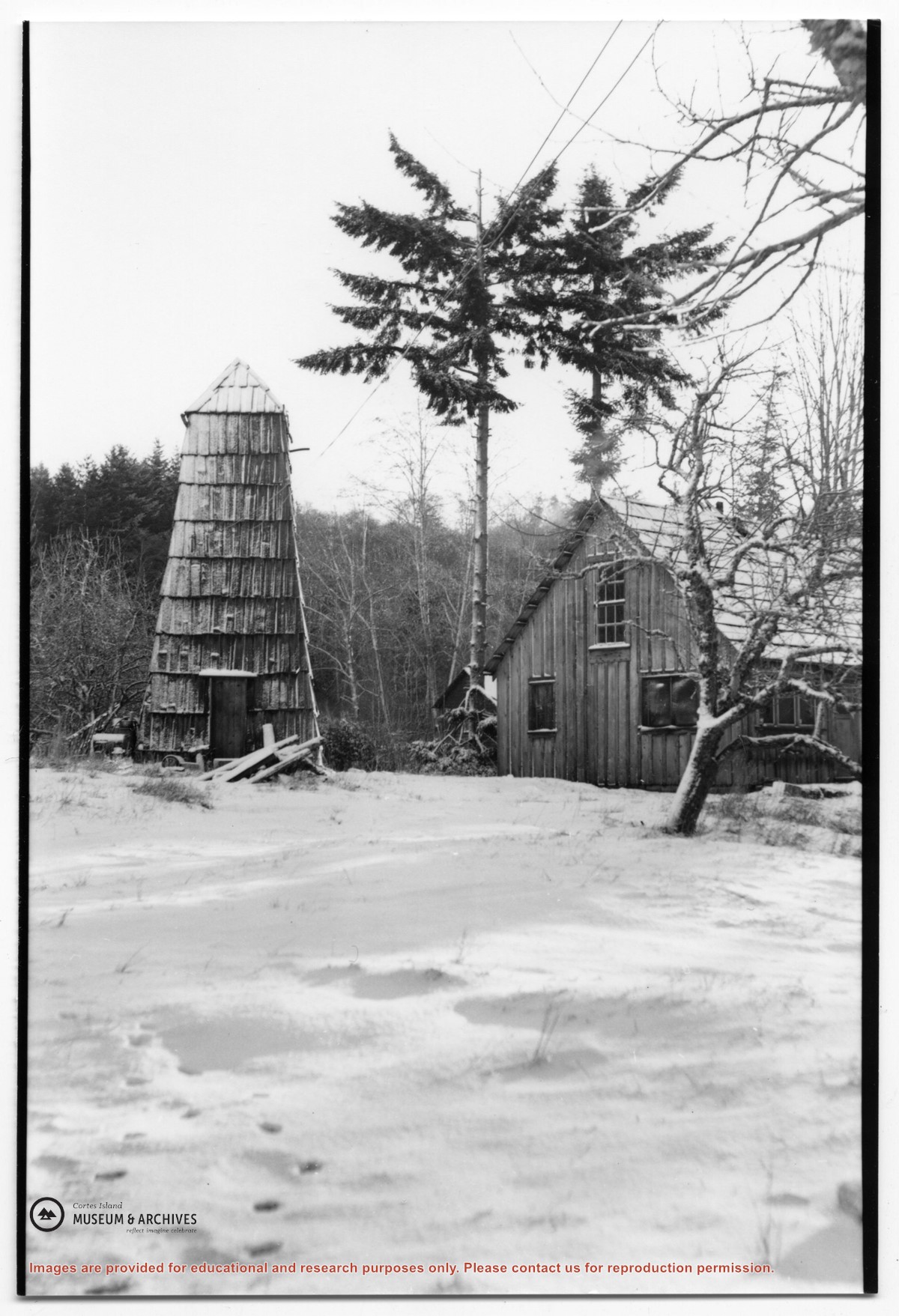
Photograph of the house beside the creek at the Robertson homestead in Whaletown, "Burnside". To the left is a tall round shingled water tower. (Same as #2003.002.471)
Photograph of the house beside the creek at the Robertson homestead in Whaletown, "Burnside". To the left is a tall round shingled water tower. (Same as #2003.002.471)
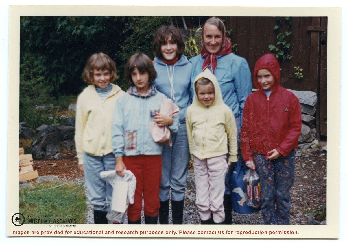
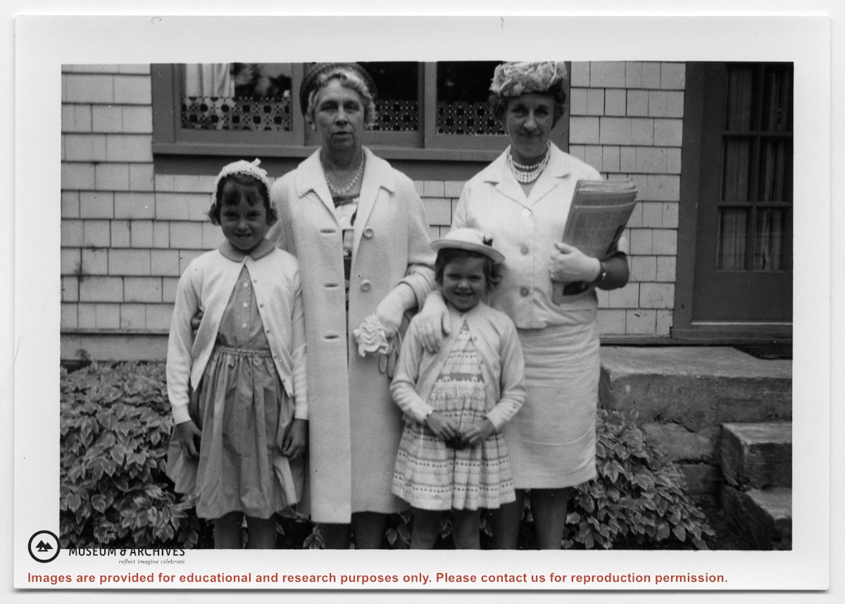
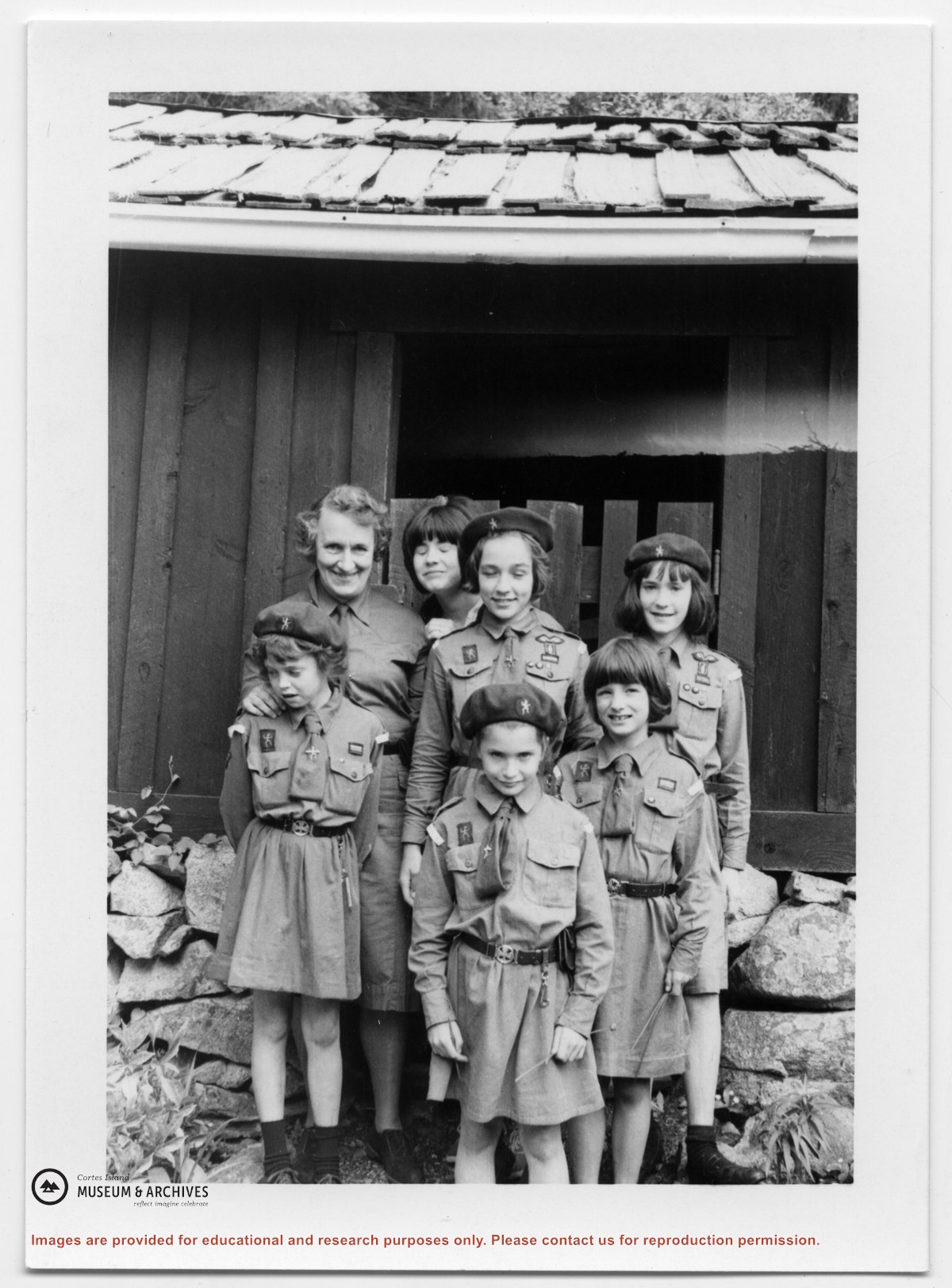
Photograph of the Whaletown Brownie troop at Channel Rock.
Back row, L to R: Doris Maclean (troop leader), (ID), Sheryl Mathews, Johnnie Weiler.
Front row, L to R: Heather Maclean, Sarah Weiler, Jeannie Mathews
Photograph of the Whaletown Brownie troop at Channel Rock.
Back row, L to R: Doris Maclean (troop leader), (ID), Sheryl Mathews, Johnnie Weiler.
Front row, L to R: Heather Maclean, Sarah Weiler, Jeannie Mathews
Photograph of two people (Iikely Ernie Mee and his wife Jean) sitting on the steps of Mee's house in Whaletown Bay (the old Richens place.) Identification pencilled on the back by Doreen Huck Thompson.
Photograph of two people (Iikely Ernie Mee and his wife Jean) sitting on the steps of Mee's house in Whaletown Bay (the old Richens place.) Identification pencilled on the back by Doreen Huck Thompson.