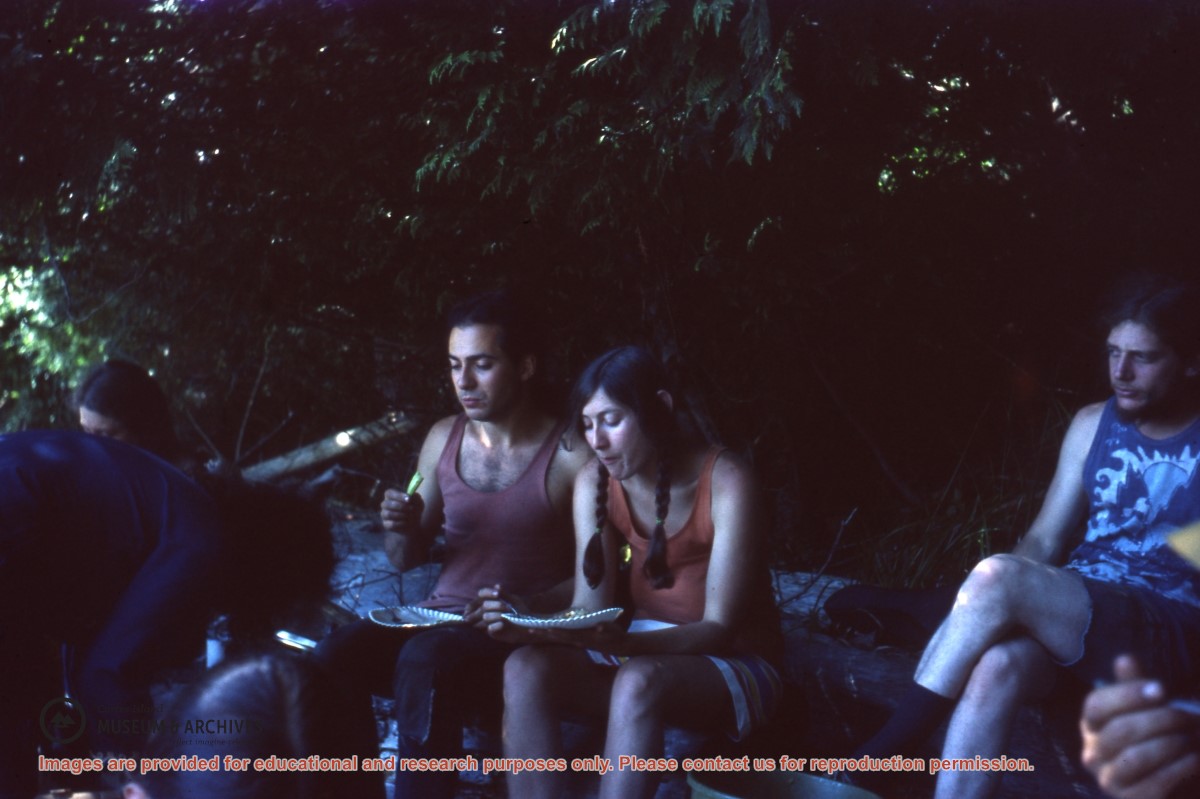
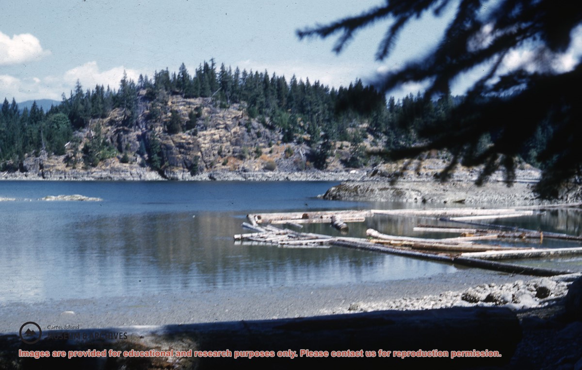
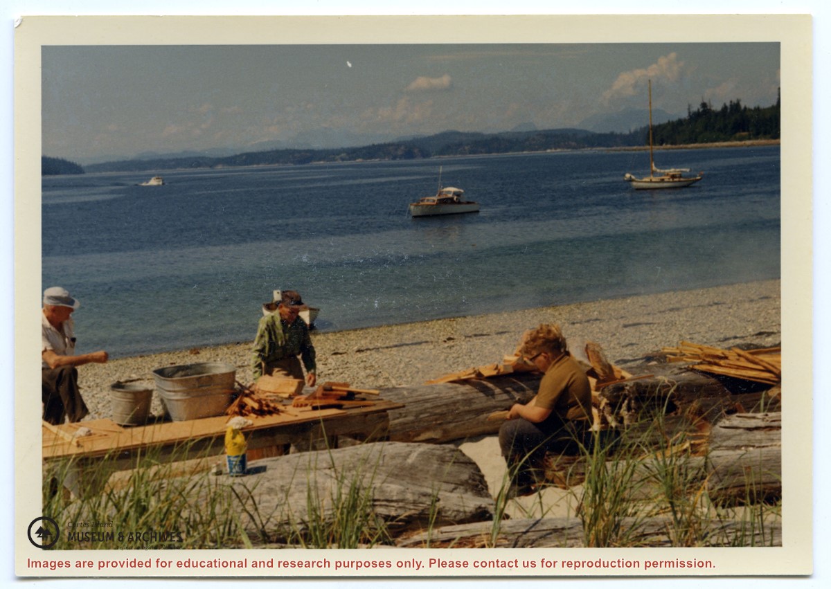
CIMAS Spring Birding Count checklists 2004-2016; emails and articles about bird sightings/bird count on Cortes, 2005-2007 and 2016; article in Birdwatch Canada, 107th Christmas Bird Count Cross-Canada report, 2007; print out about CIMAS's Spring Migration Birding Event, 2011; Christmas bird count info for CIMAS, 2016; Caring for Wildlife Habitat at home, info on constructing bird houses, undated
CIMAS Spring Birding Count checklists 2004-2016; emails and articles about bird sightings/bird count on Cortes, 2005-2007 and 2016; article in Birdwatch Canada, 107th Christmas Bird Count Cross-Canada report, 2007; print out about CIMAS's Spring Migration Birding Event, 2011; Christmas bird count info for CIMAS, 2016; Caring for Wildlife Habitat at home, info on constructing bird houses, undated
The base map is a zoning map produced by the Regional District of Comox-
Strathcona for the Cortes Island Land Use Project (Aug 1969). Edwards used
coloured pencil to show land and foreshore zones, and transferred information
about early preemptions and old roads and trails from an earlier map (see
Donald Palmer fonds, 2020.002.011, map of Cortes Island, Sayward District, ca.
1915).