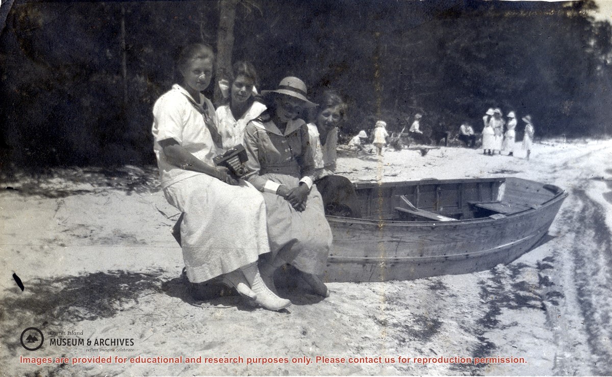
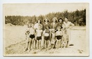
Meg Robertson (Shaw), Margaret Middleton, Margaret Copland and Elsie Allen seated on a beached rowboat at a sandy beach at the lake at Manson's Landing. Other people, including children, can be seen in the background.
Meg Robertson (Shaw), Margaret Middleton, Margaret Copland and Elsie Allen seated on a beached rowboat at a sandy beach at the lake at Manson's Landing. Other people, including children, can be seen in the background.
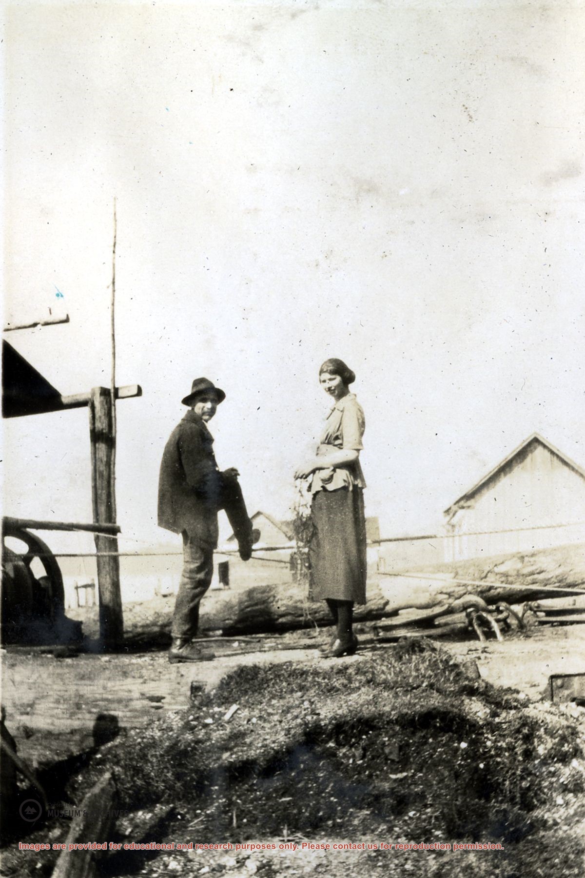
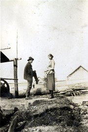
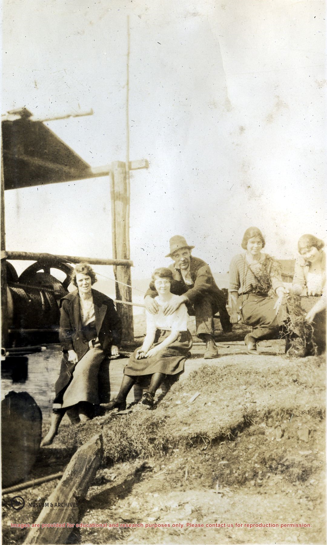
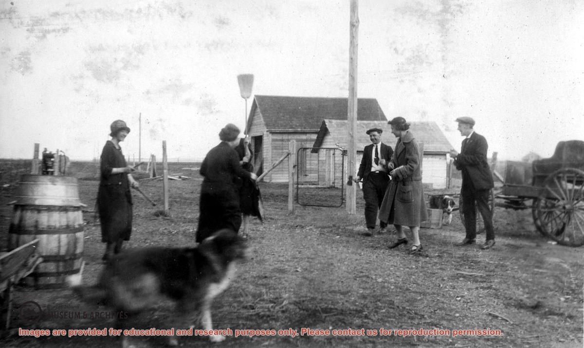
Photograph of Dorothy Huck and Bert Middleton standing beside an open shed housing a donkey winch in a field at Deighton's Camp in Manson's. A house and barn can be seen in the background. (see photos # 2001.001.278, .279 and .280)
Photograph of Dorothy Huck and Bert Middleton standing beside an open shed housing a donkey winch in a field at Deighton's Camp in Manson's. A house and barn can be seen in the background. (see photos # 2001.001.278, .279 and .280)
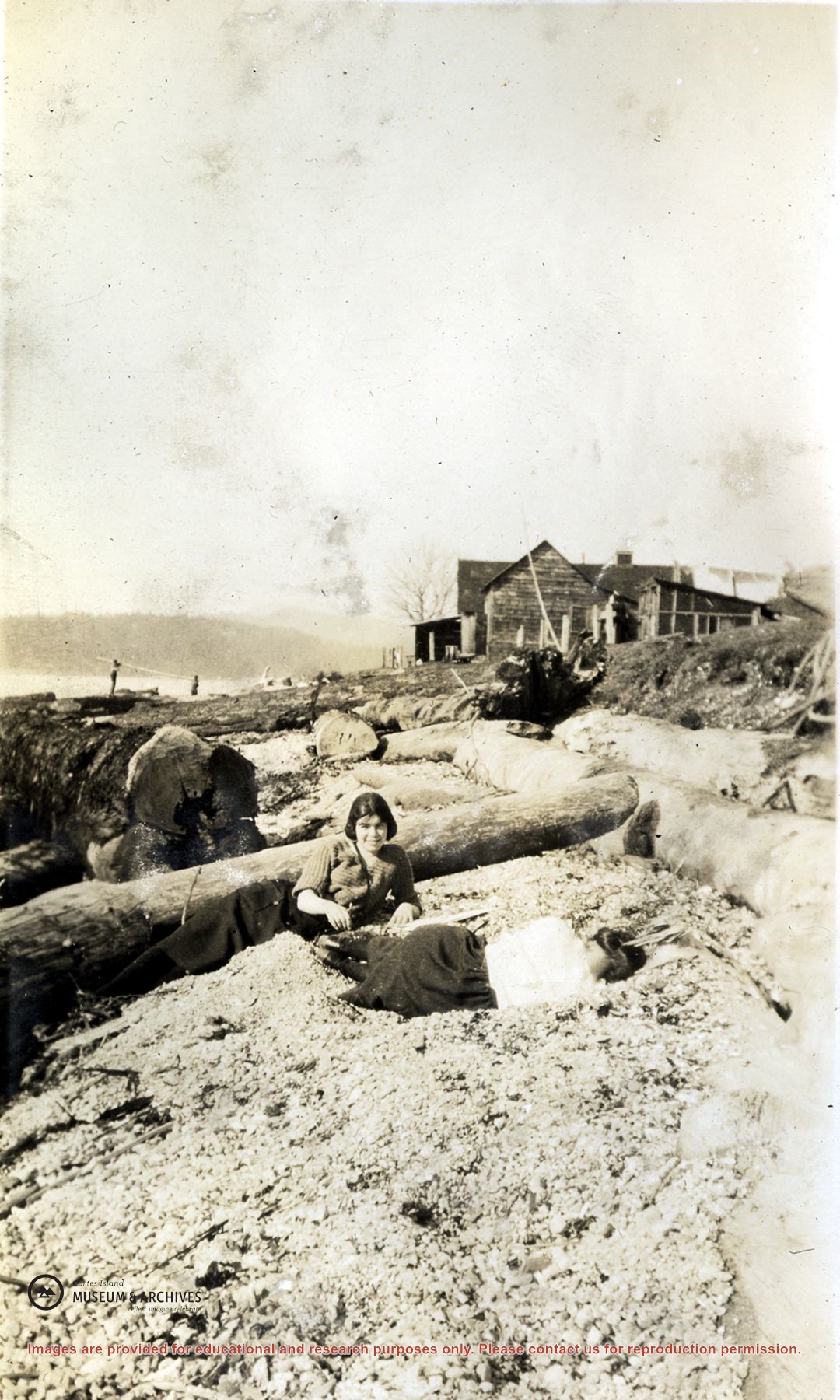
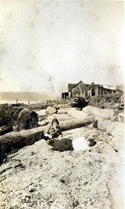
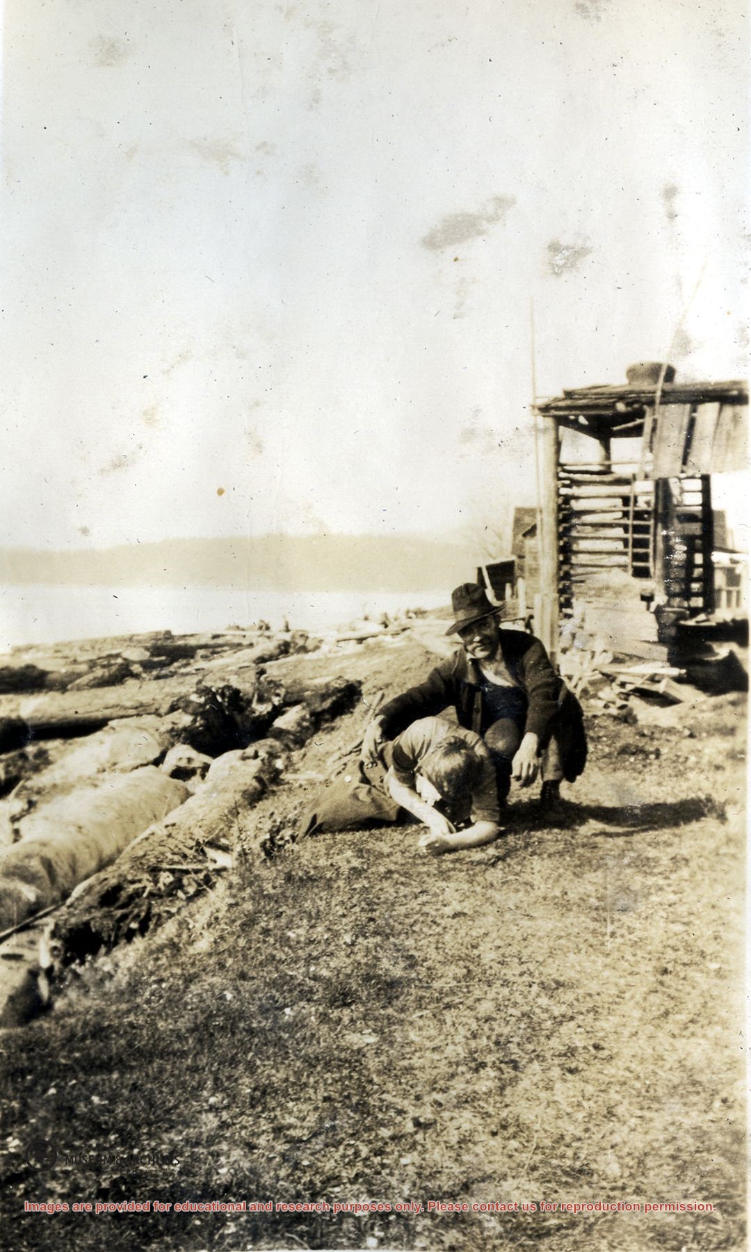
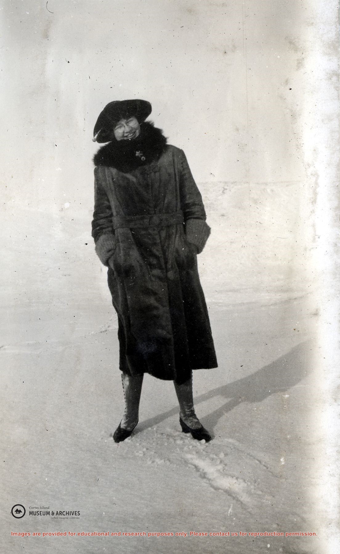
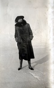
Photograph of Margaret Middleton (seated in front of log) and Miss Hopwood (lying in front of her on the beach) with a house and outbuildings in the background.
Photograph of Margaret Middleton (seated in front of log) and Miss Hopwood (lying in front of her on the beach) with a house and outbuildings in the background.
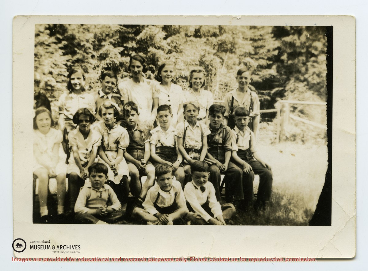
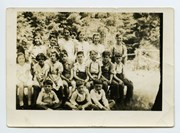
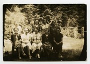
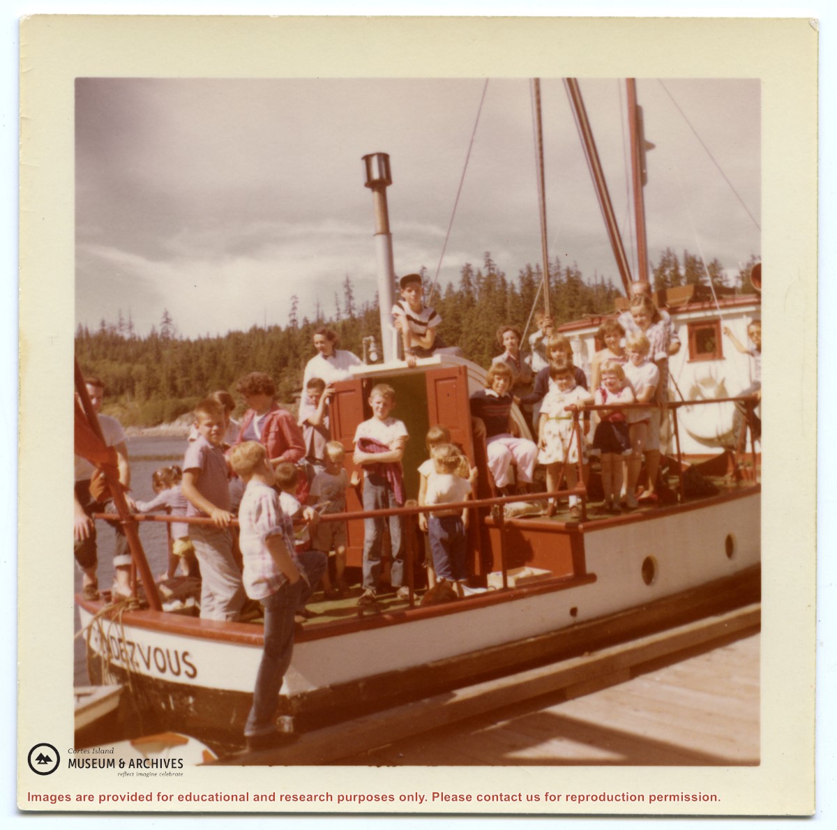
Back row L-R: unknown except Cal Campbell on R
Middle row L-R: Eleanor Christiansen; ?; ?; Fred Brooks Jr, age 8; ?; Bob Hawkins, Bill Illman?, Frank Hayes
Front Row: Bob Christiansen on R
Back row L-R: unknown except Cal Campbell on R
Middle row L-R: Eleanor Christiansen; ?; ?; Fred Brooks Jr, age 8; ?; Bob Hawkins, Bill Illman?, Frank Hayes
Front Row: Bob Christiansen on R
Series contains information on historic Crown Grants and subsequent title changes compiled by Doreen Thompson during her research for the CIMAS Windows on Whaletown exhibit in 1999. The area covered includes the northern part of Cortes Island, from just south of Gorge Harbour. Material includes maps, photocopies of original Crown Grants and other title documents, lists of subdivisions, and notes on changes of title.
Records were organized by Section or Plan number in large envelopes with a cover map and notes about the properties researched on the envelope back. They trace the ownership of parcels of land from the first grant or purchase from the Crown to 1999. Original order has been maintained.
File contains photocopies of original Crown Grants, subsequent title changes and maps for:
To Joseph Gregson: 1926, Crown Grant for fractional W 1/2 of Lot 899 and Lot 901 (between Coulter and Carrington Bays), with a water easement for Wailes
To John Nugent McIllree: 1957, Crown Grant of mineral rights to lots at Coulter Bay surveyed as the "Arrow" and "Bullseye" mineral claims
To Hilda Peterson: 1919, Crown Grant for Lot 878, Carrington Bay, 55 acres
(Files 12 through 16 are from the same envelope.)
File contains a page of notes, and photocopies of a tax sale notice (1938) and list of properties forfeited for non-payment of taxes, Crown Grants and other title information for the following:
William Walter James: 1926, Crown Grant for NW 1/4 of Sec. 38; 156 acres for $1.00; forfeited to Crown in 1939
Tom Albinson: 1919, Crown Grant for Lot 867; forfeited in 1927
Sadie McMurray: 1917, NE 1/4 of Sec. 39; 160 acres for $160
Peter Police: 1925, fractional NW 1/4 of Sec. 39; 103 acres for $1.00
(Files 12 through 16 are from the same envelope.)