Series consists of documents pertaining to a lawsuit between Chief Raymond Noble of Klahoose First Nation (suing on behalf of all members of the KFN) and the following plaintiffs: Cortes Ecoforestry Society, Linnaea Farm Society, certain members of the Klahoose First Nation, and members of the aforementioned organizations. The lawsuit concerned an alleged blockage, which barred access to Woodlot 009, thus interfering with Klahoose logging operations.
Series consists of documents pertaining to a lawsuit between Chief Raymond Noble of Klahoose First Nation (suing on behalf of all members of the KFN) and the following plaintiffs: Cortes Ecoforestry Society, Linnaea Farm Society, certain members of the Klahoose First Nation, and members of the aforementioned organizations. The lawsuit concerned an alleged blockage, which barred access to Woodlot 009, thus interfering with Klahoose logging operations.
File contains a photocopied part of a map showing the locations of researched property in the Whaletown Lagoon and Whaletown Harbour area. The map is glued to an envelope which has a list of Crown grants and other conveyances on the back.
It contains photocopies of original land grants and other conveyances for the following:
Moses Ireland: 1893, Crown Grant for the W 1/2 of SW 1/4 of Sec 35 and W 1/2 of the SW 1/4 of Section 34
Joseph Youart: 1900, Crown Grant for Fractional NE 1/4 of Sec 35 (sold to Alice Robertson in 1908; "Burnside" is still in the Robertson family).
Nicholas Thompson: 1920, Crown Grant for the Fractional SW 1/4 of Sec 35
Charles Strange: 1914, Crown Grant for the NW 1/4 of Sec 35
File contains information on subdivision and title changes, and a photocopy of the original Crown grant, in the Whaletown Lagoon area, to:
Samuel Thompson: 1894, Crown Grant for SW 1/4 of Section 35 and NW 1/4 of Section 34, 160 acres
File also contains four maps (stored in the Map Cabinet):
1) Subdivision map of part of NE 1/4 of Sec. 34 and part of NE 1/4 of Sec. 34, 1995
2) Subdivision Plan of NW 1/4 of Sec. 34 and NE 1/4 of Sec. 34 and part of E 1/2 of SE 1/2 of Sec. 34, 1995
3) Subdivision Plan of Lot A, NW 1/4 of Sec. 34, 1976
4) Subdivision Plan of part of NW 1/4 of Section 34, 1994
(Files 9 and 10 are from the same envelope.)
File contains title information to 1991 and a photocopy of the original Crown Grant to:
Nicholas Thompson: 1920, Crown Grant of Fractional SW 1/4 of Section 35; 54 acres on the southwest of Whaletown Bay
File contains a small explanatory map if a 5.5 acre portion of fractional SW 1/4 of Sec. 35, 1949, and a Subdivision Plan map of part of fractional SW 1/4 of Sec. 35, 1957 (stored in the Map Cabinet).
(Files 9 and 10 are from the same envelope.)
File contains photocopies of the original Crown Grants and subsequent title changes with plan maps.
To Moses Ireland: 1893, Crown Grant for the W 1/2 of the SW 1/4 of Section 35 and the fractional SE 1/4 of Section 35 (161 acres around Whaletown Bay
To George Alderson: 1961, Crown Grant for Lot 3 of Section 34
File contains photocopies of original Crown Grants, subsequent title changes and maps for:
To Joseph Gregson: 1926, Crown Grant for fractional W 1/2 of Lot 899 and Lot 901 (between Coulter and Carrington Bays), with a water easement for Wailes
To John Nugent McIllree: 1957, Crown Grant of mineral rights to lots at Coulter Bay surveyed as the "Arrow" and "Bullseye" mineral claims
To Hilda Peterson: 1919, Crown Grant for Lot 878, Carrington Bay, 55 acres
(Files 12 through 16 are from the same envelope.)
File contains a page of notes, and photocopies of a tax sale notice (1938) and list of properties forfeited for non-payment of taxes, Crown Grants and other title information for the following:
William Walter James: 1926, Crown Grant for NW 1/4 of Sec. 38; 156 acres for $1.00; forfeited to Crown in 1939
Tom Albinson: 1919, Crown Grant for Lot 867; forfeited in 1927
Sadie McMurray: 1917, NE 1/4 of Sec. 39; 160 acres for $160
Peter Police: 1925, fractional NW 1/4 of Sec. 39; 103 acres for $1.00
(Files 12 through 16 are from the same envelope.)
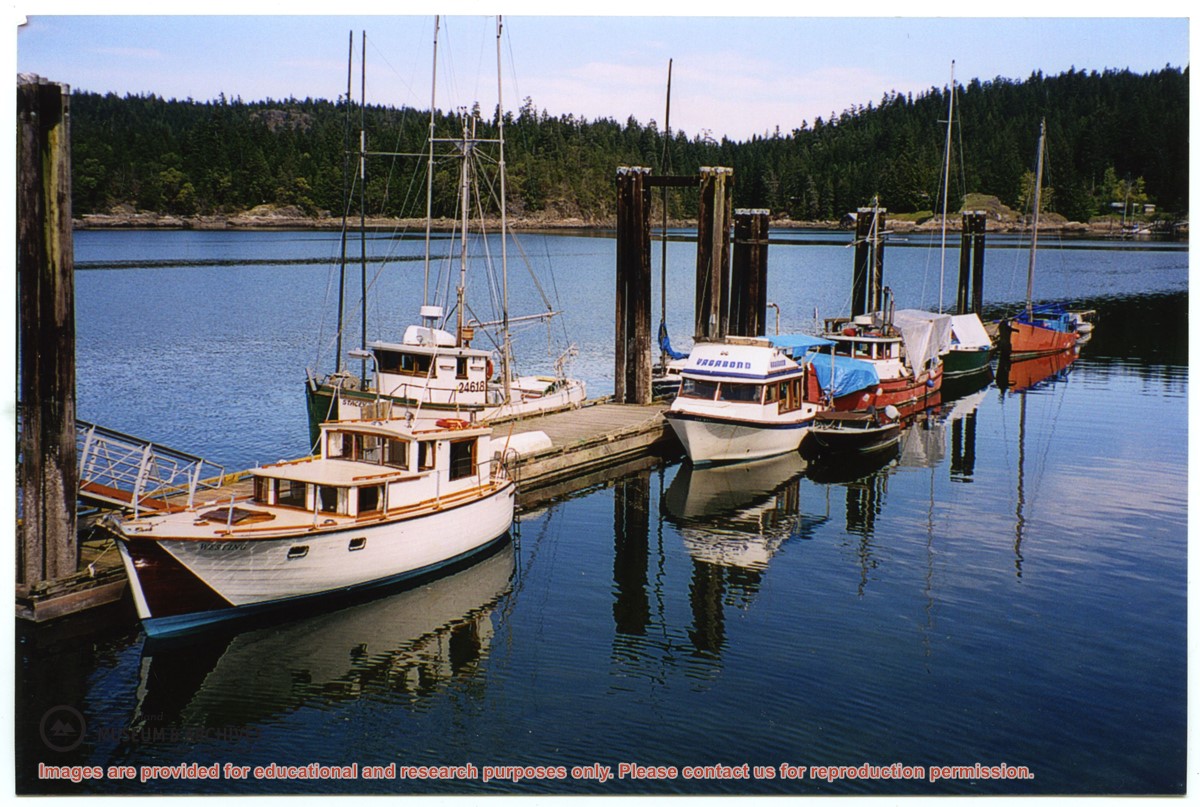
Photograph is labelled on the back: "Tiber Bay. The last of the Cat logging, with the tug "General Caldwell, skipper John Charltown, taking out 2 ections of fir." (From a group of photographs labelled "Frank Tooker photos").
Photograph is labelled on the back: "Tiber Bay. The last of the Cat logging, with the tug "General Caldwell, skipper John Charltown, taking out 2 ections of fir." (From a group of photographs labelled "Frank Tooker photos").
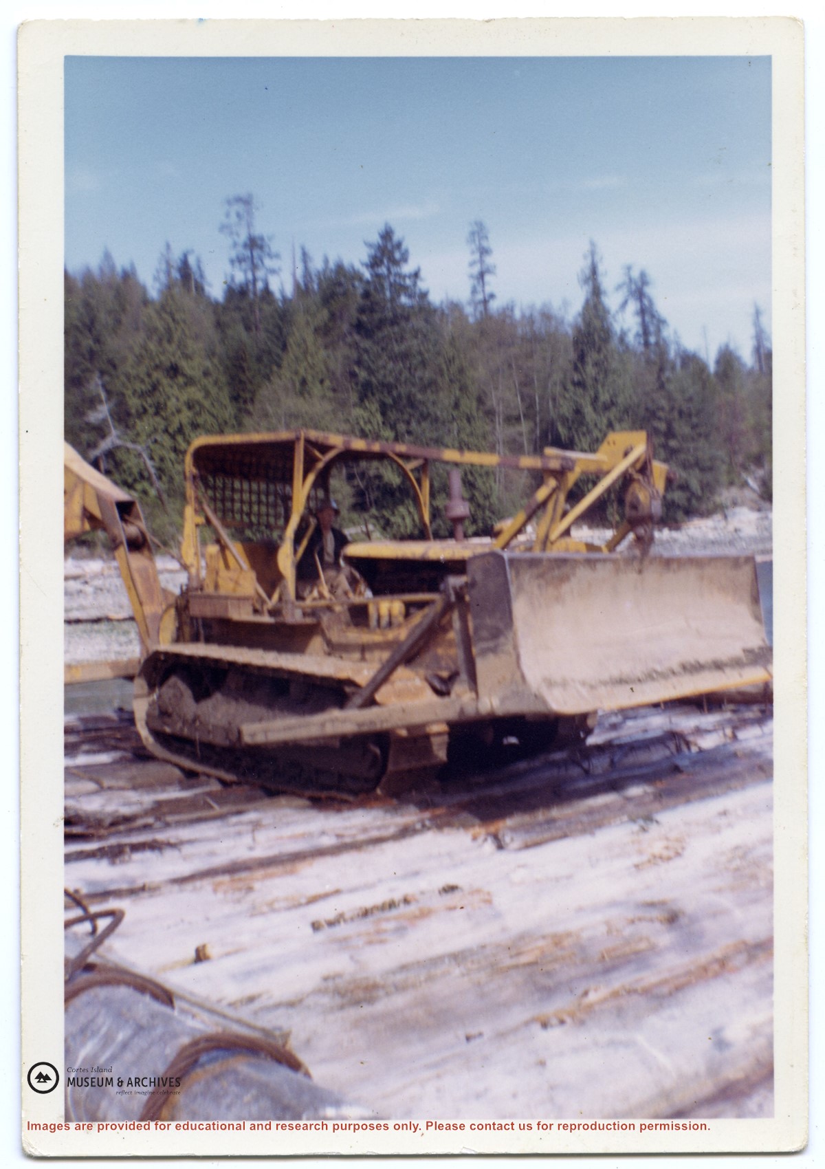
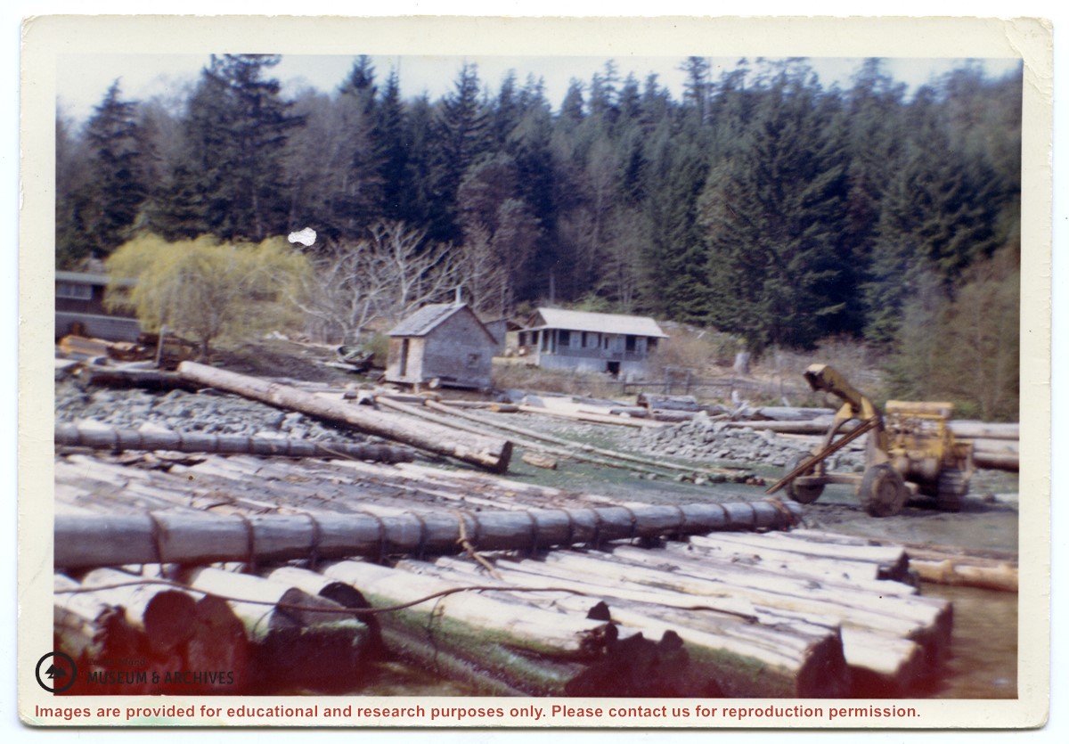
Photograph of a D8 Cat beside a log raft on the beach at Tiber Bay. A house is on the shore, along with a logging trailer and shed. Labelled on the back: "Tiber Bay. The selling out of Tooker Logging at Tiber Bay, loading of machinery." (From a group of photographs labelled "Frank Tooker photos").
Photograph of a D8 Cat beside a log raft on the beach at Tiber Bay. A house is on the shore, along with a logging trailer and shed. Labelled on the back: "Tiber Bay. The selling out of Tooker Logging at Tiber Bay, loading of machinery." (From a group of photographs labelled "Frank Tooker photos").
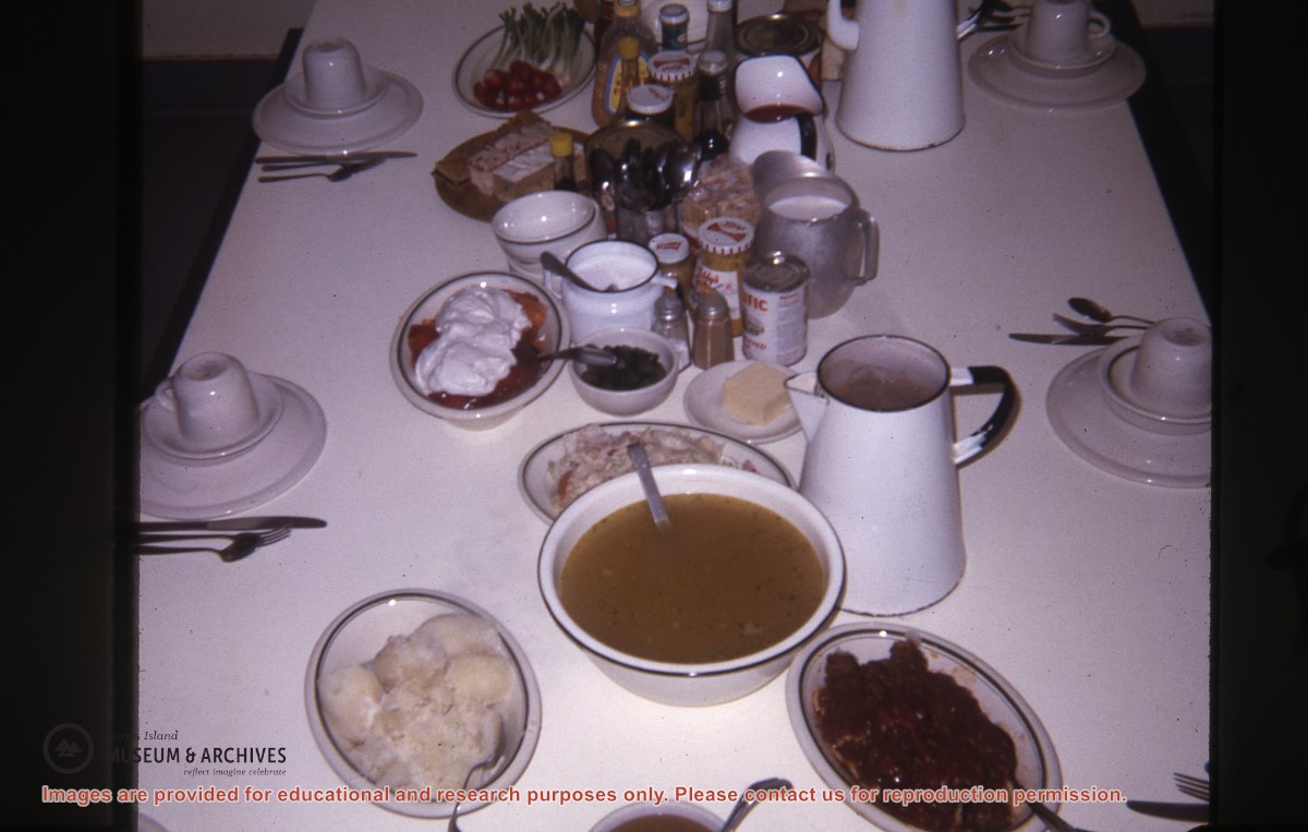
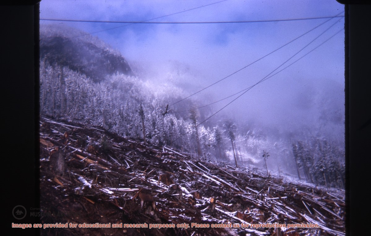
Part of a series of photographs taken by Don Maclean at a logging camp at the Quatam River in Ramsey Arm, BC. The camp was likely one of the stops on his patrol for the Columbia Coast Mission.
Slides were taken by Don Maclean and donated by Janice Kerr Maclean, Sept. 9, 2021.
Scope and Content
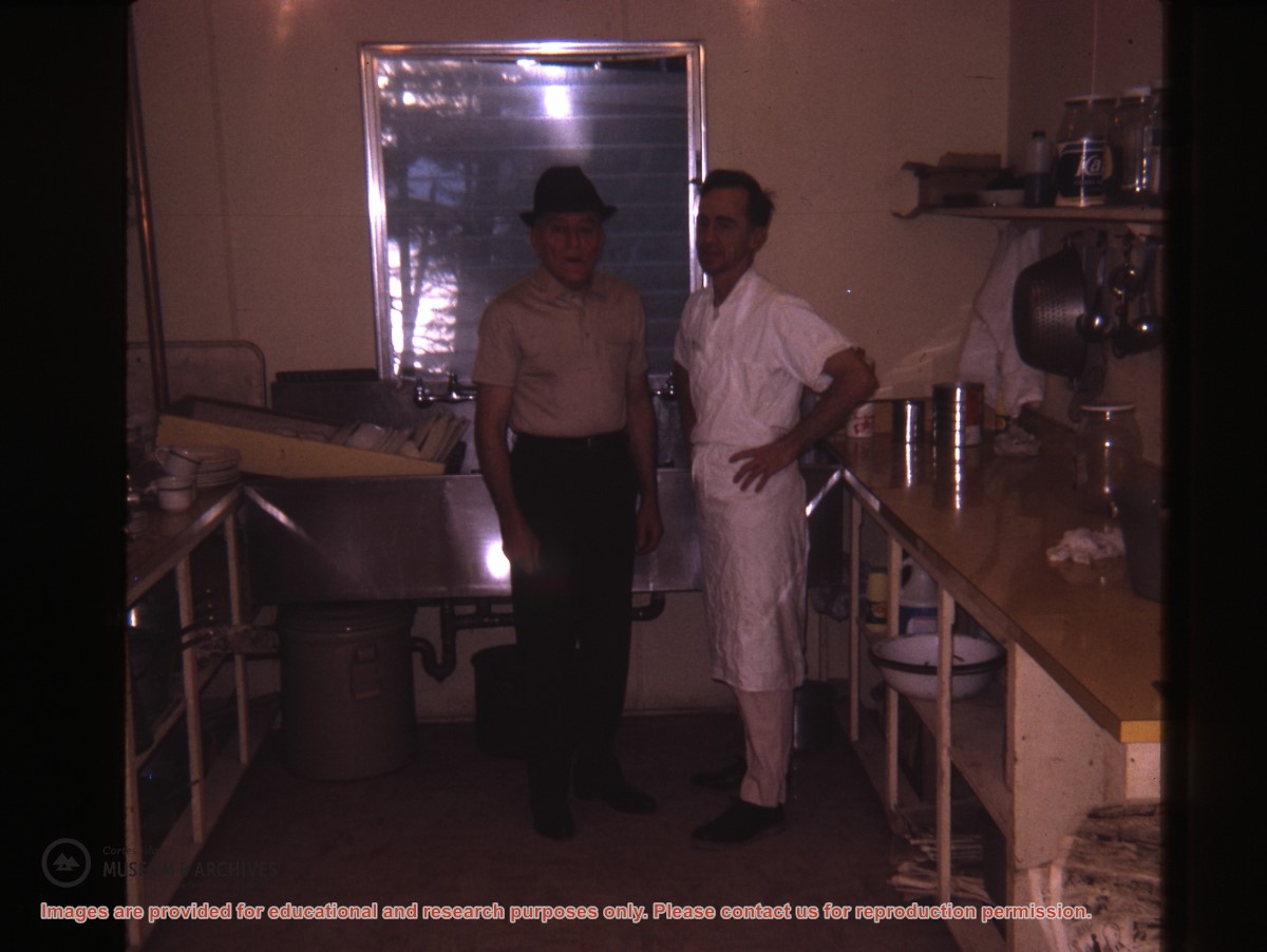
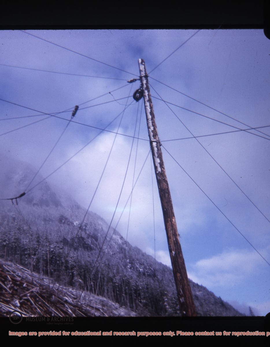
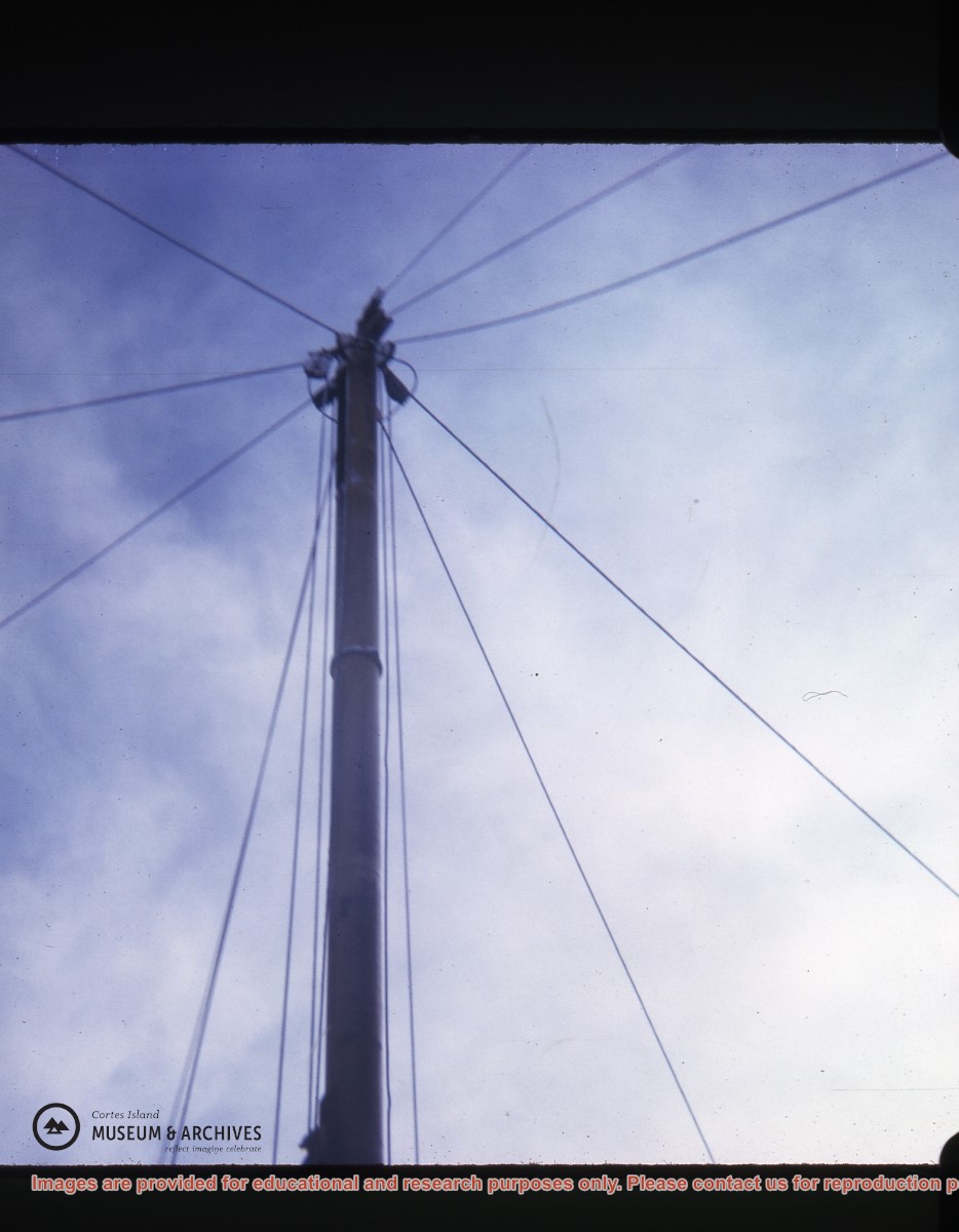
Part of a series of photographs taken by Don Maclean at a logging camp at the Quatam River in Ramsey Arm, BC. The camp was likely one of the stops on his patrol for the Columbia Coast Mission.
Part of a series of photographs taken by Don Maclean at a logging camp at the Quatam River in Ramsey Arm, BC. The camp was likely one of the stops on his patrol for the Columbia Coast Mission.
Slides were taken by Don Maclean and donated by Janice Kerr Maclean, Sept. 9, 2021.
Scope and Content
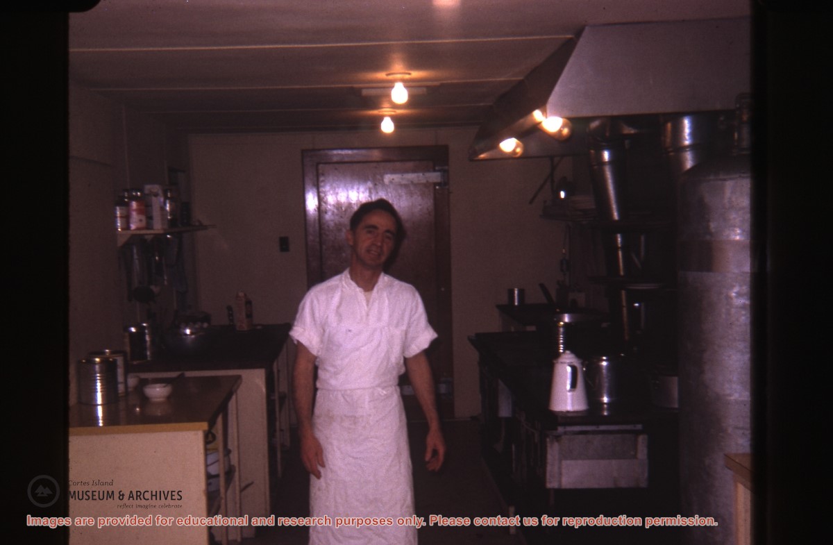
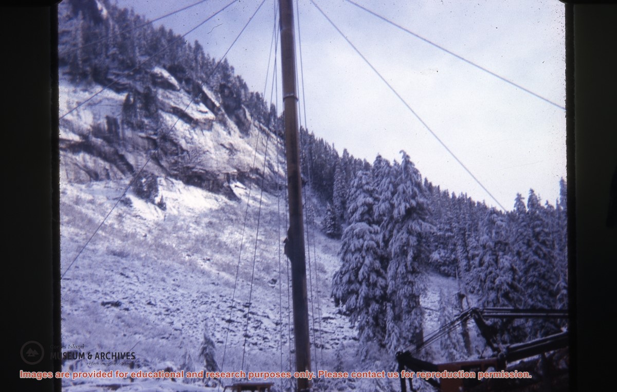
Part of a series of photographs taken by Don Maclean at a logging camp at the Quatam River in Ramsey Arm, BC. The camp was likely one of the stops on his patrol for the Columbia Coast Mission.
Part of a series of photographs taken by Don Maclean at a logging camp at the Quatam River in Ramsey Arm, BC. The camp was likely one of the stops on his patrol for the Columbia Coast Mission.
Slides were taken by Don Maclean and donated by Janice Kerr Maclean, Sept. 9, 2021.
Scope and Content
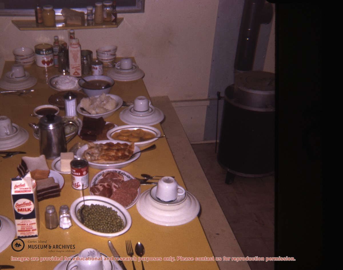
Part of a series of photographs taken by Don Maclean at a logging camp at the Quatam River in Ramsey Arm, BC. The camp was likely one of the stops on his patrol for the Columbia Coast Mission.
Part of a series of photographs taken by Don Maclean at a logging camp at the Quatam River in Ramsey Arm, BC. The camp was likely one of the stops on his patrol for the Columbia Coast Mission.
Slides were taken by Don Maclean and donated by Janice Kerr Maclean, Sept. 9, 2021.
Scope and Content
Part of a series of photographs taken by Don Maclean at a logging camp at the Quatam River in Ramsey Arm, BC. The camp was likely one of the stops on his patrol for the Columbia Coast Mission.
Part of a series of photographs taken by Don Maclean at a logging camp at the Quatam River in Ramsey Arm, BC. The camp was likely one of the stops on his patrol for the Columbia Coast Mission.
Slides were taken by Don Maclean and donated by Janice Kerr Maclean, Sept. 9, 2021.
Scope and Content
Part of a series of photographs taken by Don Maclean at a logging camp at the Quatam River in Ramsey Arm, BC. The camp was likely one of the stops on his patrol for the Columbia Coast Mission.