Map of the British Empire, drawn by Eric Dinickel for publication in the June, 1953 issue of Maclean’s (the month of the coronation of Queen Elizabeth II). Printed in full colour.
Map of the British Empire, drawn by Eric Dinickel for publication in the June, 1953 issue of Maclean’s (the month of the coronation of Queen Elizabeth II). Printed in full colour.
The base map is a zoning map produced by the Regional District of Comox-
Strathcona for the Cortes Island Land Use Project (Aug 1969). Edwards used
coloured pencil to show land and foreshore zones, and transferred information
about early preemptions and old roads and trails from an earlier map (see
Donald Palmer fonds, 2020.002.011, map of Cortes Island, Sayward District, ca.
1915).
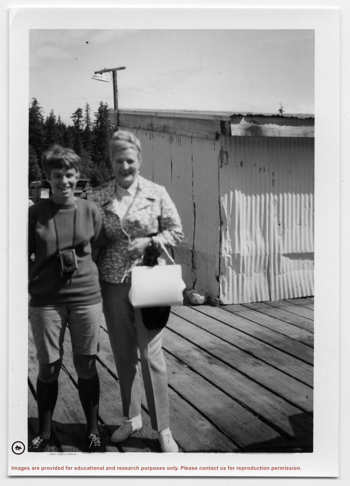
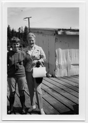
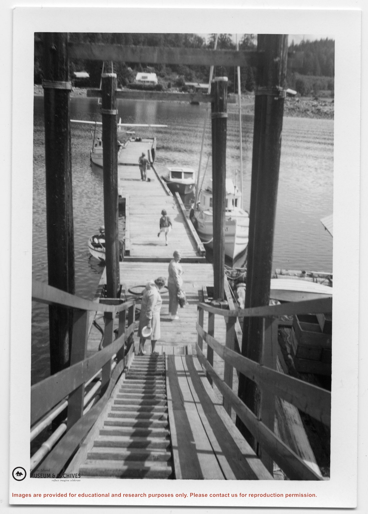
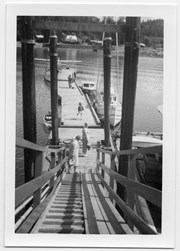
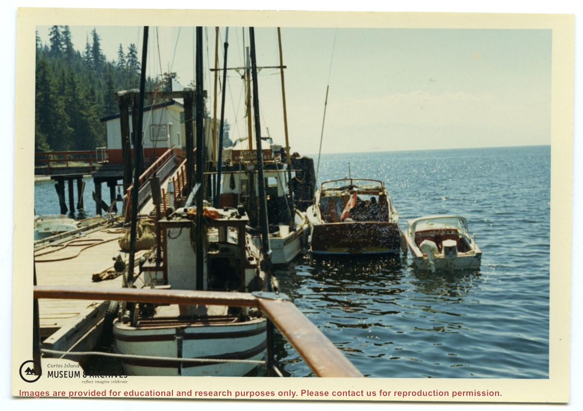
Photograph of two women standing on the dock at the government wharf in Whaletown. Gertrude McDonald (R) was a cousin of Doris Maclean and owned the property in Whaletown where the Macleans built their house after moving out of the mission house.
Photograph of two women standing on the dock at the government wharf in Whaletown. Gertrude McDonald (R) was a cousin of Doris Maclean and owned the property in Whaletown where the Macleans built their house after moving out of the mission house.
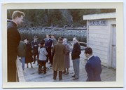
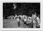
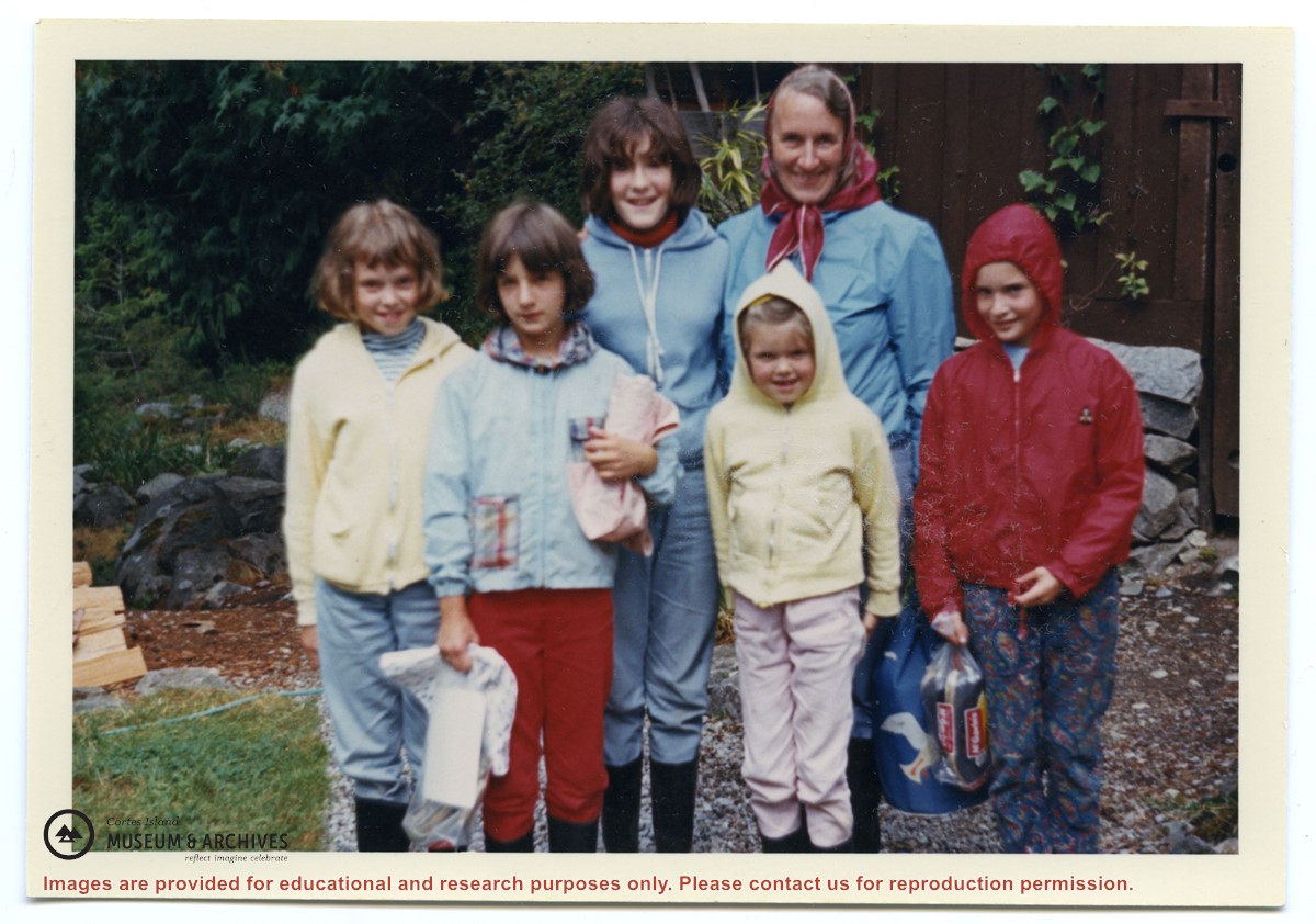
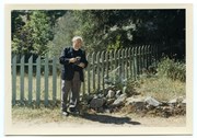
Front row, L to R: Heather Maclean, Jeannie Mathews, Janice Maclean, Sarah Weiler
Back row, L to R: Johnny Weiler (hidden behind Jeannie), Doris Maclean
Front row, L to R: Heather Maclean, Jeannie Mathews, Janice Maclean, Sarah Weiler
Back row, L to R: Johnny Weiler (hidden behind Jeannie), Doris Maclean