Coloured map of southwestern BC showing municipalities, geographical features, land and sea routes, natural resources, etc. The back of the map is fully printed with information about BC and suggested travel itineraries.
Map needs preservation: edges are frayed and there are several tears.
Coloured map of southwestern BC showing municipalities, geographical features, land and sea routes, natural resources, etc. The back of the map is fully printed with information about BC and suggested travel itineraries.
Map needs preservation: edges are frayed and there are several tears.
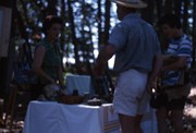
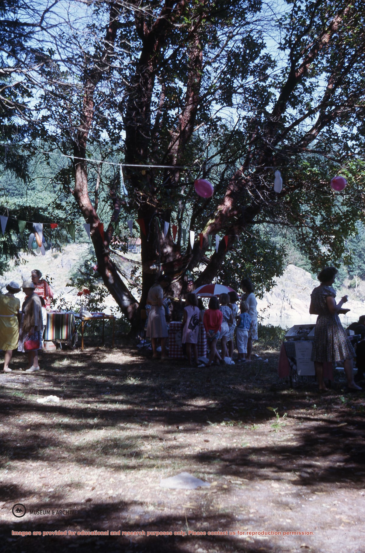
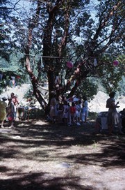
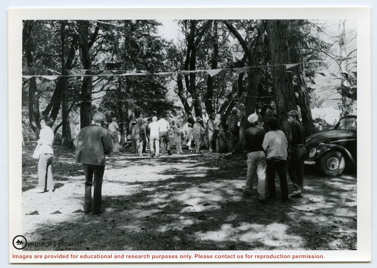
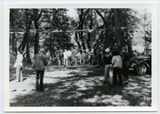
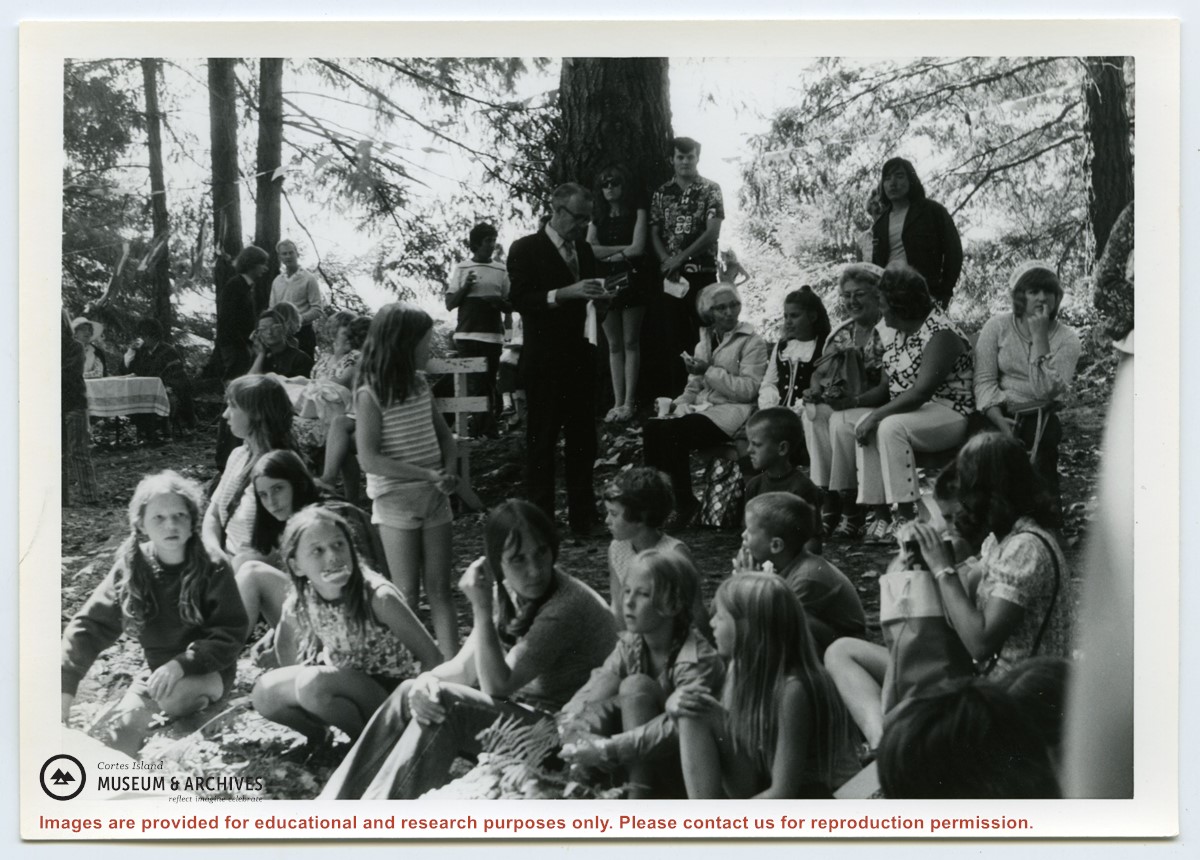
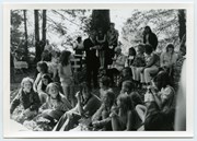
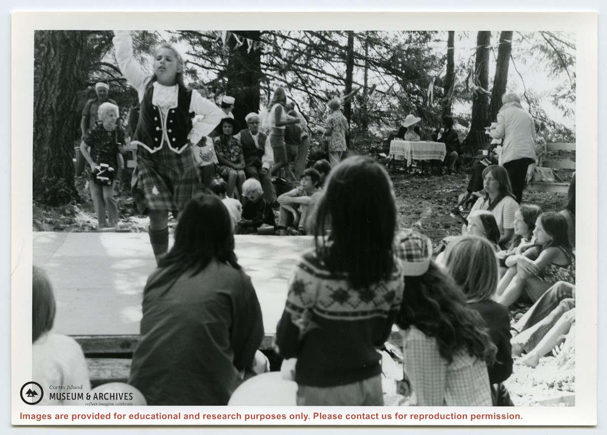
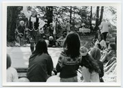
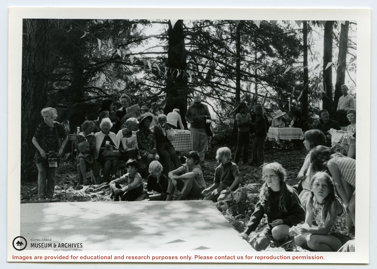
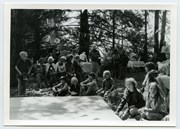
Photograph of people at the Fiesta, including Rev. Rollo Boas (standing, center), Kathleen Boas, Diane and Jimmy Hansen; Debbie and Joan Musclow; Yetta Maibauer and daughter seated center front. (ID)
Photograph of people at the Fiesta, including Rev. Rollo Boas (standing, center), Kathleen Boas, Diane and Jimmy Hansen; Debbie and Joan Musclow; Yetta Maibauer and daughter seated center front. (ID)
File contains materials related to a 1999 proposal by Cortes Ecoforestry Society to buy forest lands owned by MacMillan Bloedel, including proposals, correspondence, notes, publications, and other supporting documents.
File contains materials related to a 1999 proposal by Cortes Ecoforestry Society to buy forest lands owned by MacMillan Bloedel, including proposals, correspondence, notes, publications, and other supporting documents.
File contains a cerlox-bound proposal to acquire MacMillan Bloedel lands on Cortes Island, with supporting documents from Klahoose First Nation and The Land Conservancy of BC.
File contains a cerlox-bound proposal to acquire MacMillan Bloedel lands on Cortes Island, with supporting documents from Klahoose First Nation and The Land Conservancy of BC.
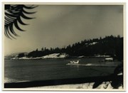
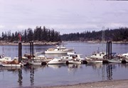
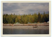
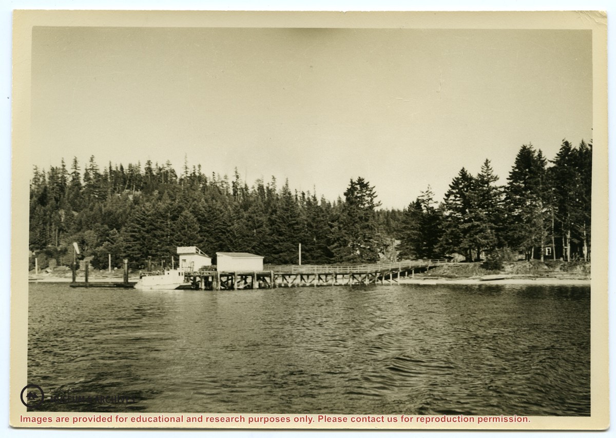
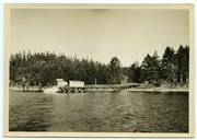
Photograph of the Manson's Landing wharf, taken from the water at high tide. It includes the oil and wharf sheds on the dock, an unknown scow boat with cabin at the float and the store ashore. Note: telephone poles from the original phone line across the mouth of the lagoon; higher banks along the shoreline.
Photograph of the Manson's Landing wharf, taken from the water at high tide. It includes the oil and wharf sheds on the dock, an unknown scow boat with cabin at the float and the store ashore. Note: telephone poles from the original phone line across the mouth of the lagoon; higher banks along the shoreline.