Coloured map of southwestern BC showing municipalities, geographical features, land and sea routes, natural resources, etc. The back of the map is fully printed with information about BC and suggested travel itineraries.
Map needs preservation: edges are frayed and there are several tears.
Coloured map of southwestern BC showing municipalities, geographical features, land and sea routes, natural resources, etc. The back of the map is fully printed with information about BC and suggested travel itineraries.
Map needs preservation: edges are frayed and there are several tears.
File contains a cerlox-bound proposal to acquire MacMillan Bloedel lands on Cortes Island, with supporting documents from Klahoose First Nation and The Land Conservancy of BC.
File contains a cerlox-bound proposal to acquire MacMillan Bloedel lands on Cortes Island, with supporting documents from Klahoose First Nation and The Land Conservancy of BC.
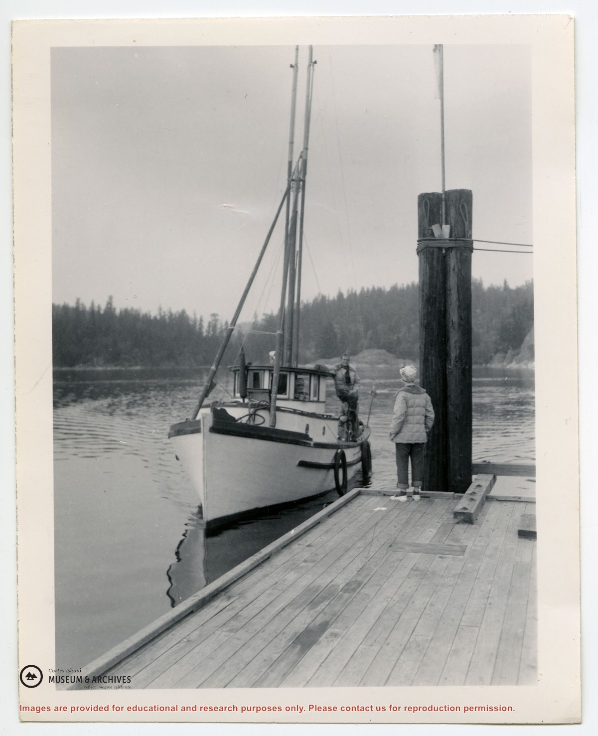
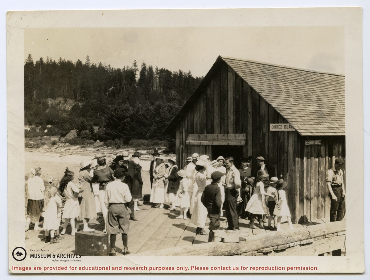
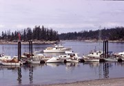
Photograph of a crowd of people on the government dock at Manson's Landing, likely waiting for the arrival of a Union Steamship. They are standing in front of a building sided with vertical shake boards, with "Cortes Island" and "Telegraph Office" signs on its side. View is looking along the Spit.
Photograph of a crowd of people on the government dock at Manson's Landing, likely waiting for the arrival of a Union Steamship. They are standing in front of a building sided with vertical shake boards, with "Cortes Island" and "Telegraph Office" signs on its side. View is looking along the Spit.
BC gov pamphlets from Victoria: Purchase and Lease of Crown Lands, Travel Bureau, Department of Trade and Industry, 1945; The Acquisition of Crown Lands, Lands Service, Deaprtment of Lands, Forests, and Water Resources, 1962
BC gov pamphlets from Victoria: Purchase and Lease of Crown Lands, Travel Bureau, Department of Trade and Industry, 1945; The Acquisition of Crown Lands, Lands Service, Deaprtment of Lands, Forests, and Water Resources, 1962
.jpg?width=1200&404=no-img.jpg&watermark=wmk)
.jpg?width=1200&404=no-img.jpg&watermark=wmk)
.jpg?width=180&404=no-img.jpg)