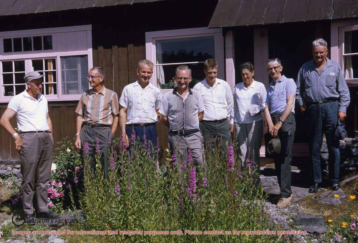
Photo of same group of people as #1999.001.2472, except with Ken Slater at far right
(L to R): Wilf Freeman, (ID), Elmer Ellingsen, Dan Campbell, Bud Guthrie, Nesta Slater, George Griffin, Harry Huck, Ken Slater
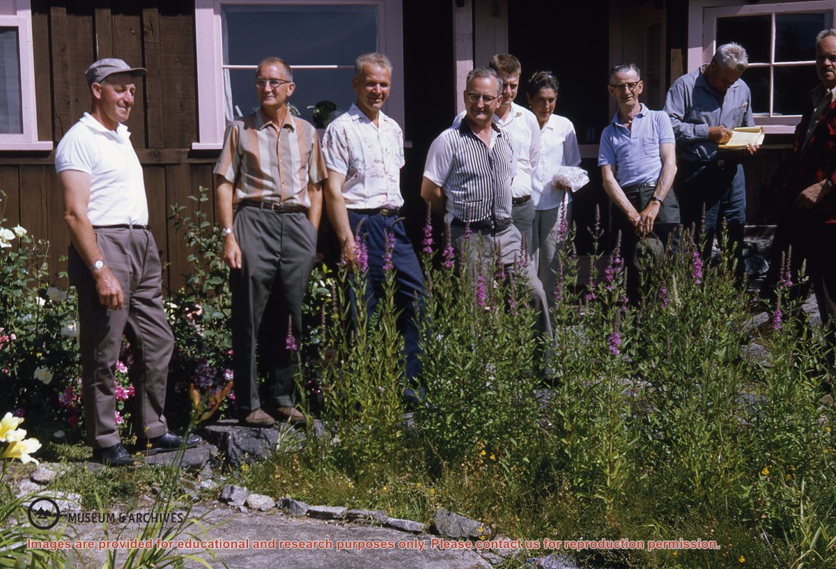
Photo of same group of people as #1999.001.2472, except with Ken Slater at far right
(L to R): Wilf Freeman, (ID), Elmer Ellingsen, Dan Campbell, Bud Guthrie, Nesta Slater, George Griffin, Harry Huck, Ken Slater
The base map is a zoning map produced by the Regional District of Comox-
Strathcona for the Cortes Island Land Use Project (Aug 1969). Edwards used
coloured pencil to show land and foreshore zones, and transferred information
about early preemptions and old roads and trails from an earlier map (see
Donald Palmer fonds, 2020.002.011, map of Cortes Island, Sayward District, ca.
1915).
Materials relating to the formation of the Regional District of Comox-Strathcona and Cortes Island APC including inquiries concerning museums and the legal status of historic artifacts.