Coloured map of southwestern BC showing municipalities, geographical features, land and sea routes, natural resources, etc. The back of the map is fully printed with information about BC and suggested travel itineraries.
Map needs preservation: edges are frayed and there are several tears.
Coloured map of southwestern BC showing municipalities, geographical features, land and sea routes, natural resources, etc. The back of the map is fully printed with information about BC and suggested travel itineraries.
Map needs preservation: edges are frayed and there are several tears.
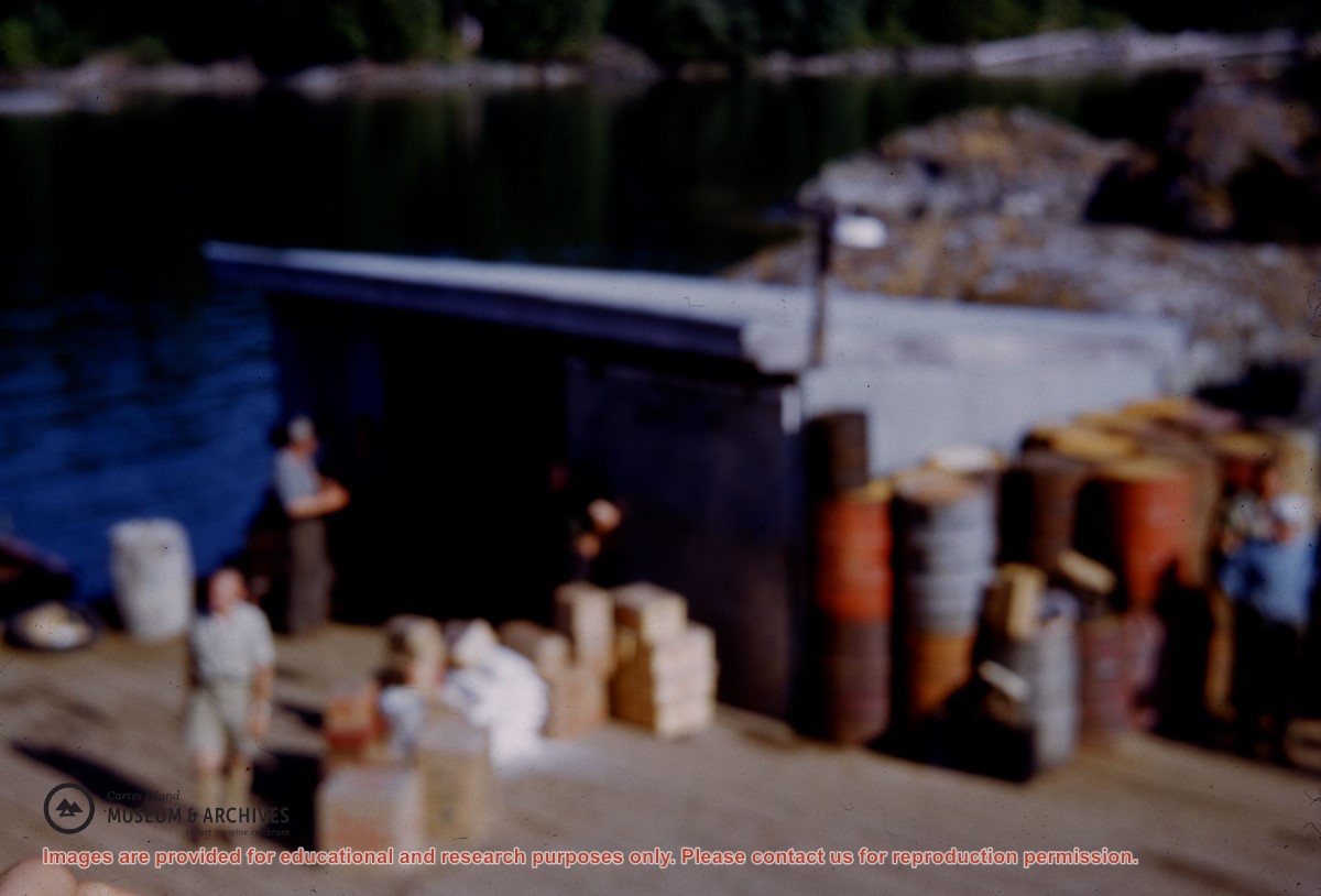
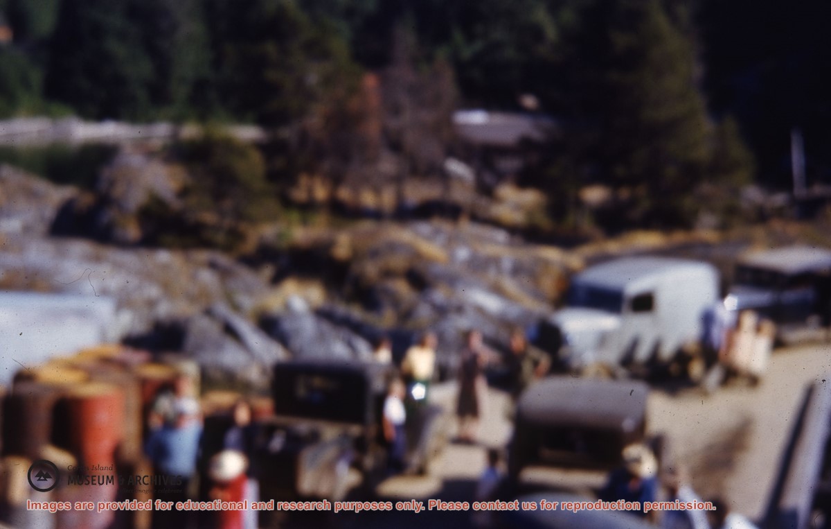
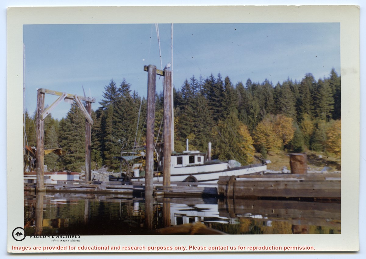
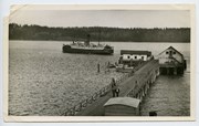
Photograph of The "Columbia" and the "John Antle" at the end of the wharf on Stuart Island, along with other boats. This is cropped from #1999.001.947.
Photograph of The "Columbia" and the "John Antle" at the end of the wharf on Stuart Island, along with other boats. This is cropped from #1999.001.947.
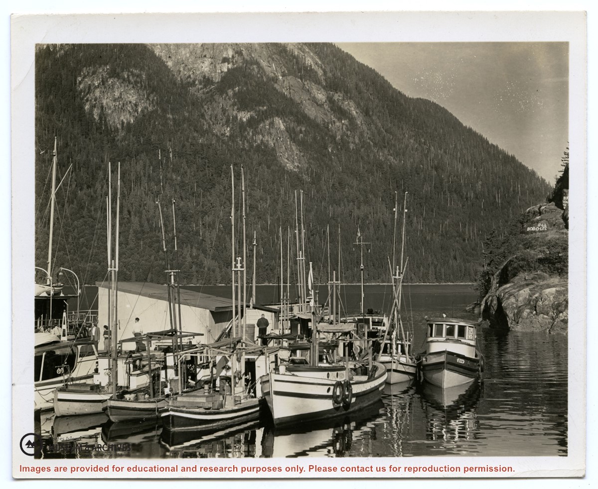
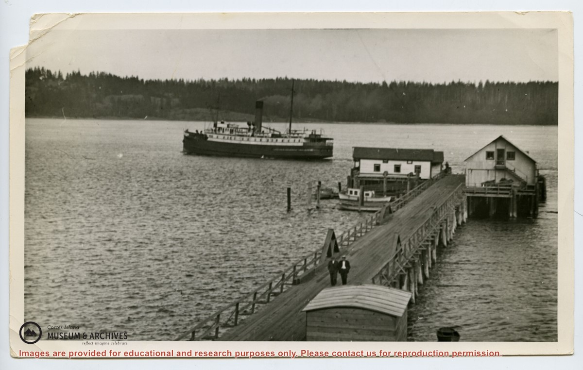
Photograph of the "Columbia" and the "John Antle" at the wharf on Stuart Island. Other boats are also tied up at the dock; there are buildings at the head of the wharf. See also #1999.001.938, which is a crop from this photo.
2 photograph prints: b&w; 12.5 x 10 cm and 25.5 x 12 cm
Scope and Content
Photograph of the "Columbia" and the "John Antle" at the wharf on Stuart Island. Other boats are also tied up at the dock; there are buildings at the head of the wharf. See also #1999.001.938, which is a crop from this photo.


.jpg?width=1200&404=no-img.jpg&watermark=wmk)
.jpg?width=1200&404=no-img.jpg&watermark=wmk)
.jpg?width=1200&404=no-img.jpg&watermark=wmk)
.jpg?width=180&404=no-img.jpg)