Coloured map of southwestern BC showing municipalities, geographical features, land and sea routes, natural resources, etc. The back of the map is fully printed with information about BC and suggested travel itineraries.
Map needs preservation: edges are frayed and there are several tears.
Coloured map of southwestern BC showing municipalities, geographical features, land and sea routes, natural resources, etc. The back of the map is fully printed with information about BC and suggested travel itineraries.
Map needs preservation: edges are frayed and there are several tears.
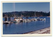
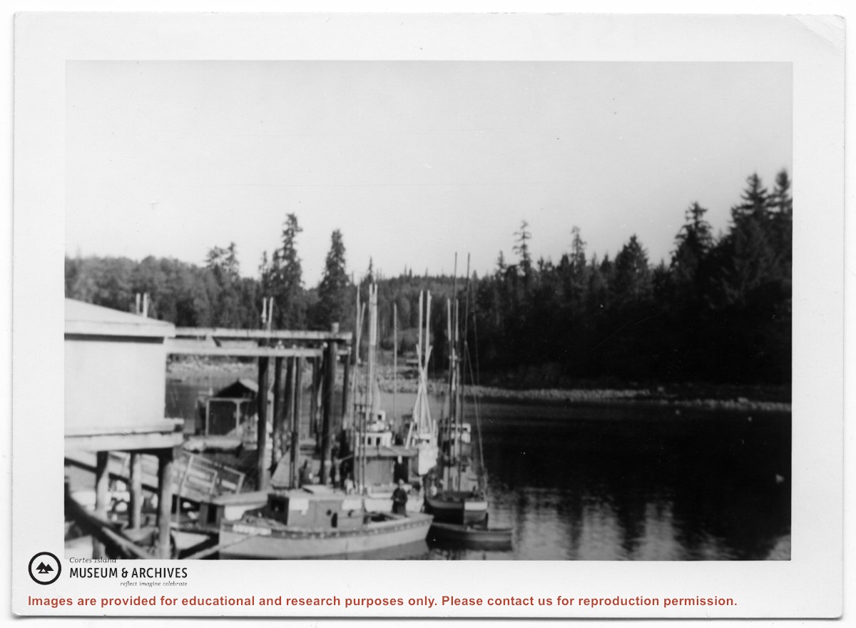
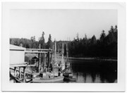
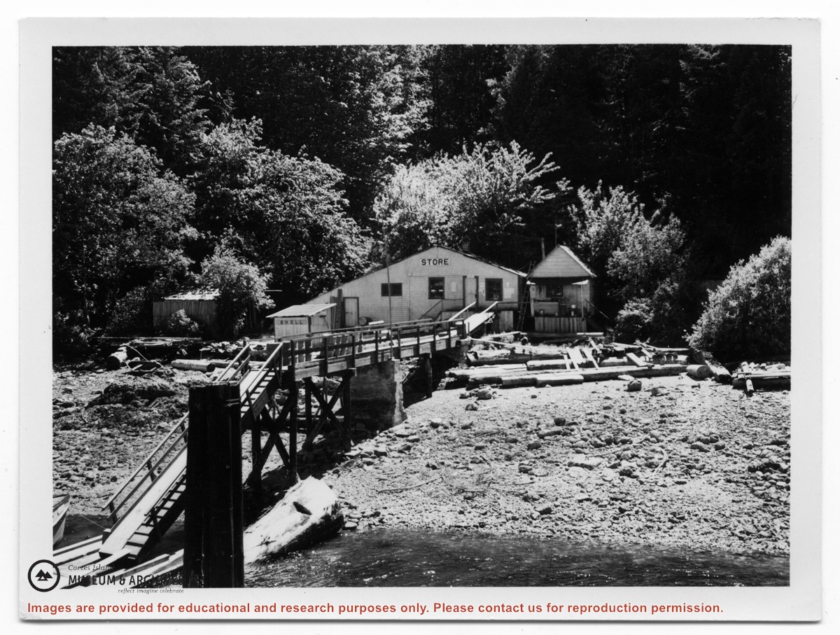
Photograph of a store at the end of a dock. On the back of the photo, Douglas had identified it as "Tipton's store, Surge Narrow, Read Island", but had crossed that out. (ID)
Photograph of a store at the end of a dock. On the back of the photo, Douglas had identified it as "Tipton's store, Surge Narrow, Read Island", but had crossed that out. (ID)