Coloured map of southwestern BC showing municipalities, geographical features, land and sea routes, natural resources, etc. The back of the map is fully printed with information about BC and suggested travel itineraries.
Map needs preservation: edges are frayed and there are several tears.
Coloured map of southwestern BC showing municipalities, geographical features, land and sea routes, natural resources, etc. The back of the map is fully printed with information about BC and suggested travel itineraries.
Map needs preservation: edges are frayed and there are several tears.
File contains a cerlox-bound proposal to acquire MacMillan Bloedel lands on Cortes Island, with supporting documents from Klahoose First Nation and The Land Conservancy of BC.
File contains a cerlox-bound proposal to acquire MacMillan Bloedel lands on Cortes Island, with supporting documents from Klahoose First Nation and The Land Conservancy of BC.
BC gov pamphlets from Victoria: Purchase and Lease of Crown Lands, Travel Bureau, Department of Trade and Industry, 1945; The Acquisition of Crown Lands, Lands Service, Deaprtment of Lands, Forests, and Water Resources, 1962
BC gov pamphlets from Victoria: Purchase and Lease of Crown Lands, Travel Bureau, Department of Trade and Industry, 1945; The Acquisition of Crown Lands, Lands Service, Deaprtment of Lands, Forests, and Water Resources, 1962
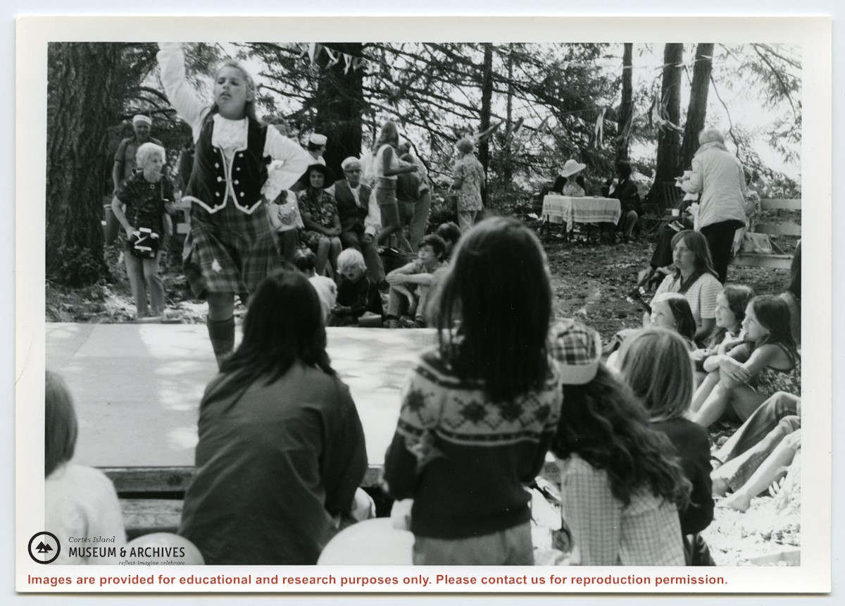
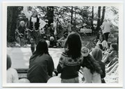
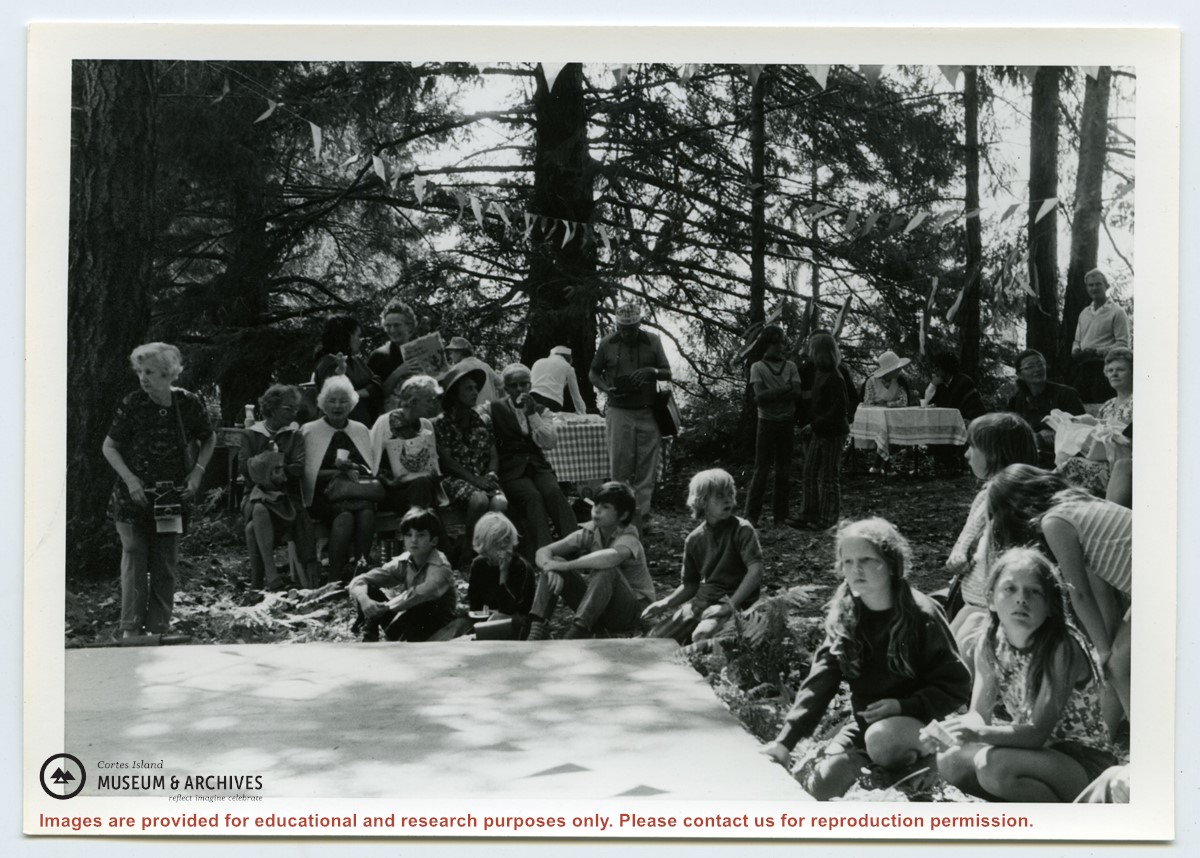
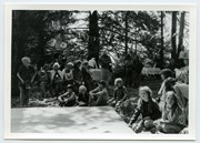
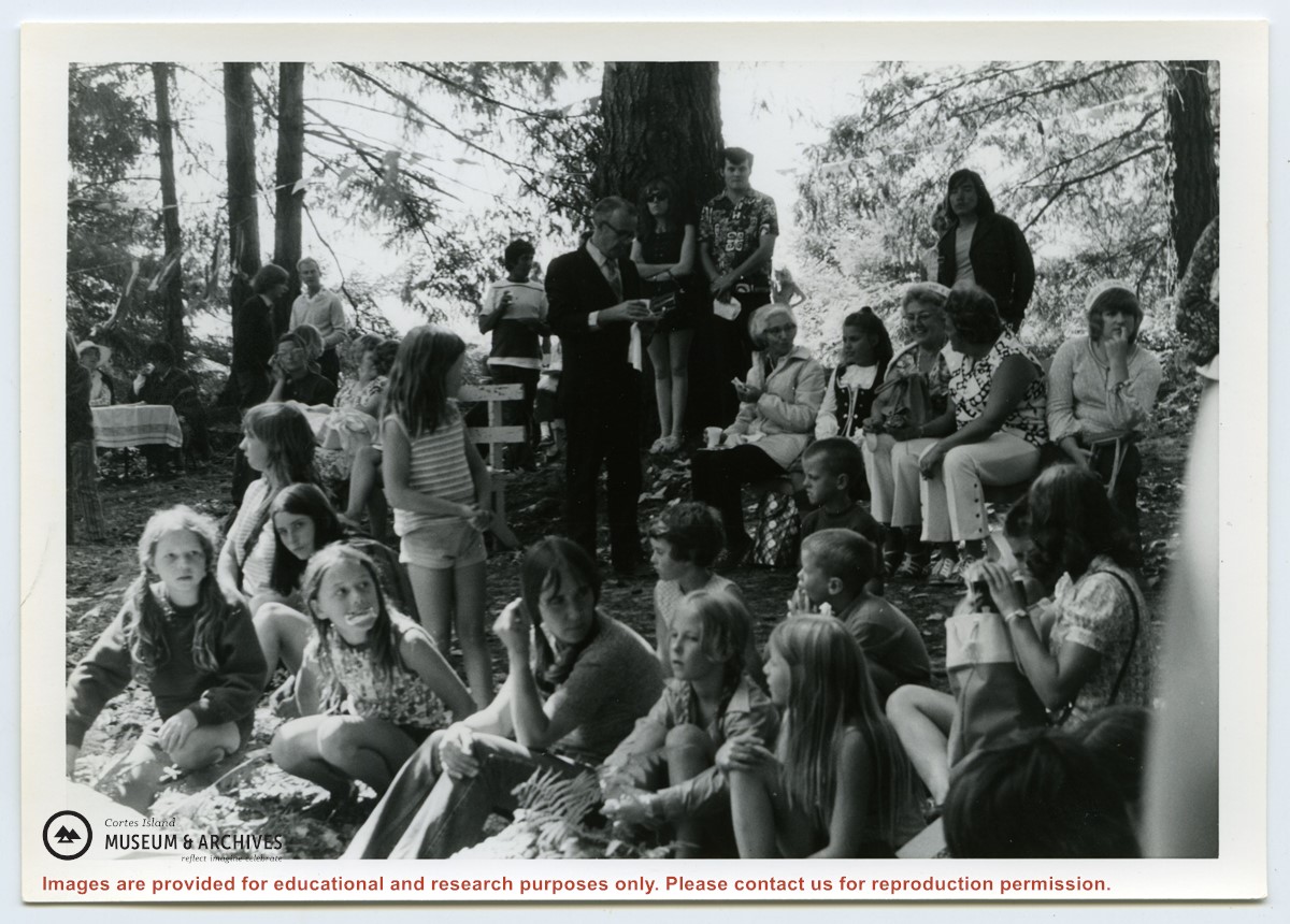
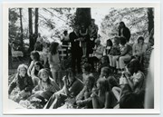
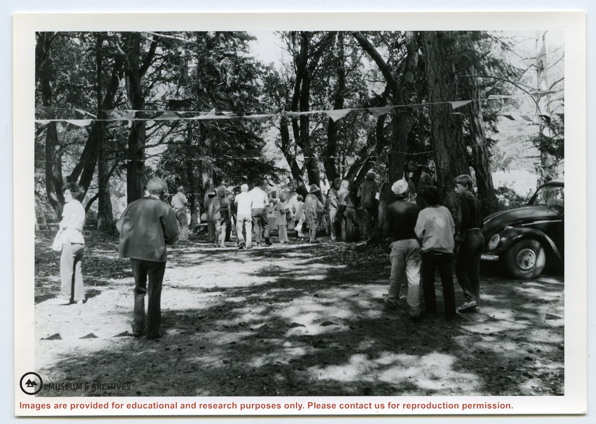
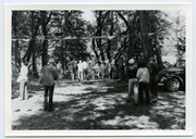
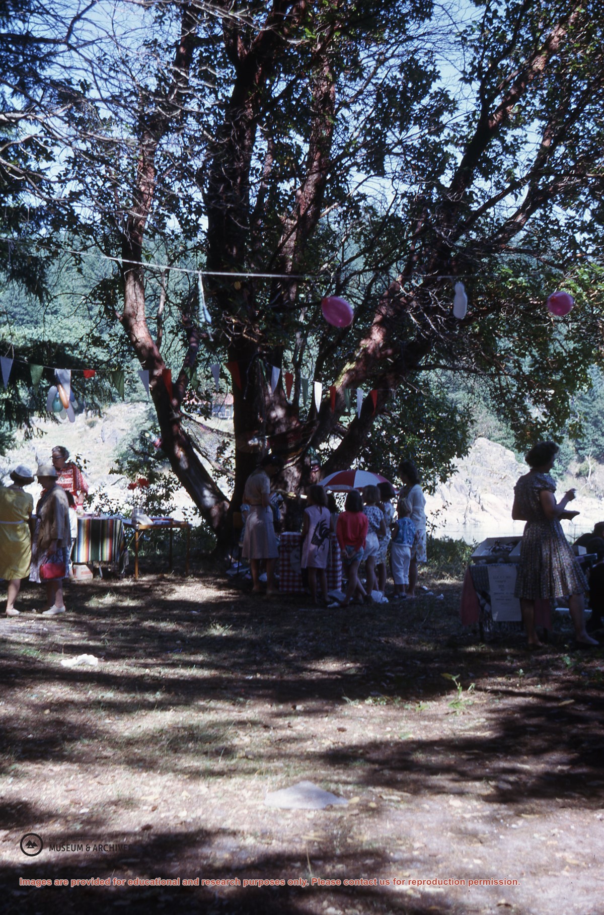
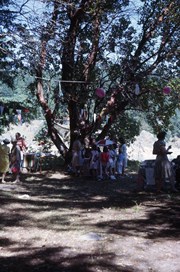
Photograph of people at the Fiesta, including Rev. Rollo Boas (standing, center), Kathleen Boas, Diane and Jimmy Hansen; Debbie and Joan Musclow; Yetta Maibauer and daughter seated center front. (ID)
Photograph of people at the Fiesta, including Rev. Rollo Boas (standing, center), Kathleen Boas, Diane and Jimmy Hansen; Debbie and Joan Musclow; Yetta Maibauer and daughter seated center front. (ID)
Email from Richard Lawton with aerial photographs and map of the Lawton land between Beasley and Cemetery Road, from a meeting on July 18, 2008. 10-part series of articles written by Lawton entitled "The End of an Era," published in the Cortes Marketer, 2013
Email from Richard Lawton with aerial photographs and map of the Lawton land between Beasley and Cemetery Road, from a meeting on July 18, 2008. 10-part series of articles written by Lawton entitled "The End of an Era," published in the Cortes Marketer, 2013