File contains five maps of Hernando Island: two showing plans of pre-emptions, 1891-1892; two copies of an old hand-drawn map, 1955; and one map of a later proposed development (undated). Some maps have notes on homesteads.
File contains five maps of Hernando Island: two showing plans of pre-emptions, 1891-1892; two copies of an old hand-drawn map, 1955; and one map of a later proposed development (undated). Some maps have notes on homesteads.
File contains maps of Bute Inlet (1970), Cortes Island/Read Island and surrounding area (ca. 1950), Powell River (1968) and Cortes Island zoning maps (Jan 1974).
File contains maps of Bute Inlet (1970), Cortes Island/Read Island and surrounding area (ca. 1950), Powell River (1968) and Cortes Island zoning maps (Jan 1974).
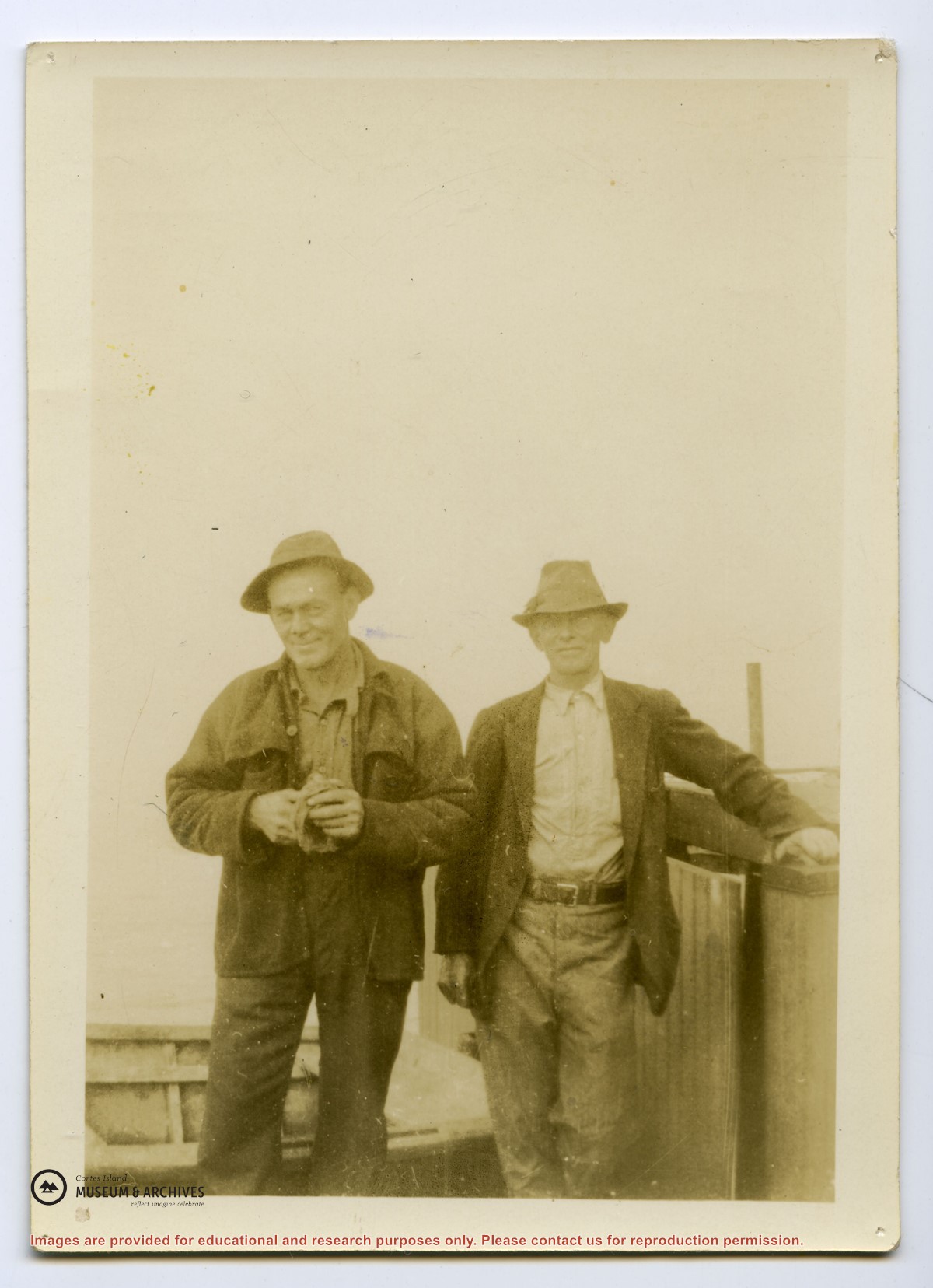
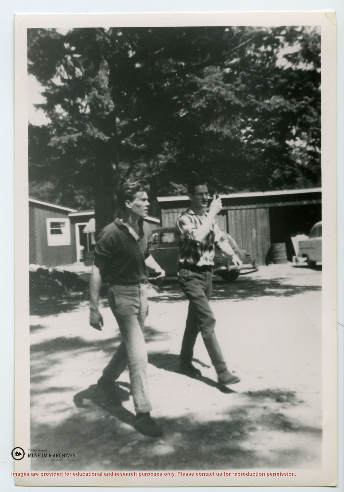
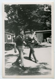
Photograph of Dennis Newsham (R) and David Ward, walking across the parking lot at the Manson's Landing wharf. Jack Summers' garage is behind and Mrs. Lowes' cafe to the left; the store was on the other side of the parking lot at the head of the wharf.
Photograph of Dennis Newsham (R) and David Ward, walking across the parking lot at the Manson's Landing wharf. Jack Summers' garage is behind and Mrs. Lowes' cafe to the left; the store was on the other side of the parking lot at the head of the wharf.
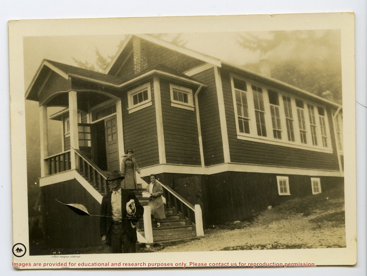
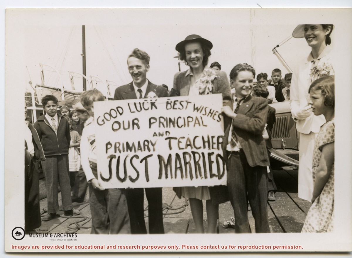
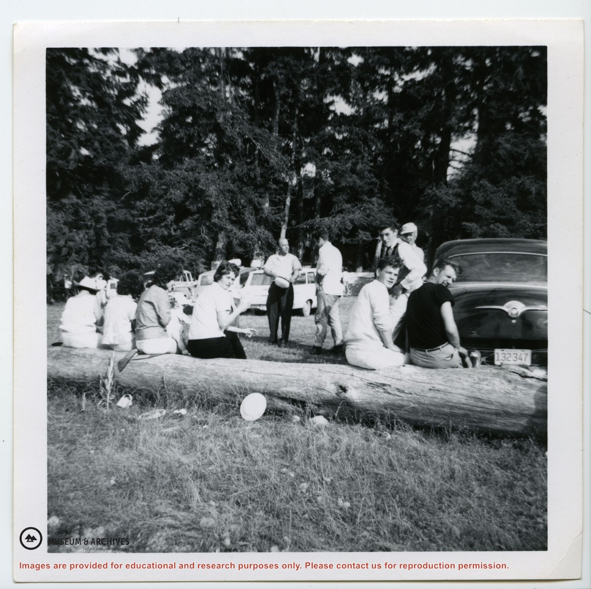
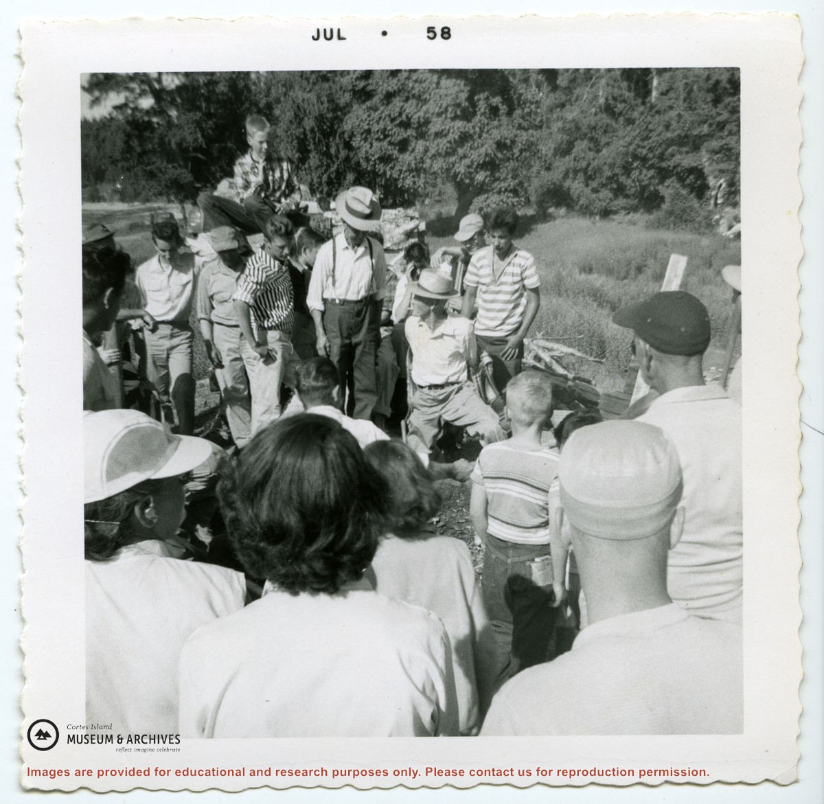
Photograph of a newly-wed Nick and Vera Manson, surrounded by students, holding a sign "Good Luck and Best Wishes - Our principal and primary teacher just married".
Photograph of a newly-wed Nick and Vera Manson, surrounded by students, holding a sign "Good Luck and Best Wishes - Our principal and primary teacher just married".


.jpg?width=1200&404=no-img.jpg&watermark=wmk)
.jpg?width=1200&404=no-img.jpg&watermark=wmk)
.jpg?width=180&404=no-img.jpg)