Series consists of materials relating to the Cortes Island Official Community Plan (OCP) and the Zoning Bylaw. It includes copies of the first and second Official Community Plans (1979 and 1995) and the first and second Zoning Bylaws (1970 and 2002). There are materials from an OCP revision (1992 -1995) and a Zoning Bylaw revision (ca. 1998-2003) including annotated draft copies, detailed APC commentary, correspondence, background materials and minutes of public meetings; Plan Maps and maps of Cortes properties.
?? cm of textual records; 4 cerlox-bound map books
Scope and Content
Series consists of materials relating to the Cortes Island Official Community Plan (OCP) and the Zoning Bylaw. It includes copies of the first and second Official Community Plans (1979 and 1995) and the first and second Zoning Bylaws (1970 and 2002). There are materials from an OCP revision (1992 -1995) and a Zoning Bylaw revision (ca. 1998-2003) including annotated draft copies, detailed APC commentary, correspondence, background materials and minutes of public meetings; Plan Maps and maps of Cortes properties.
File contains a copy of the bylaw and map of 1995, a summary of the changes (meant to reconcile 25 year gap between the previous zoning bylaws and the current OCP), and a completion and adoption strategy.
File contains a copy of the bylaw and map of 1995, a summary of the changes (meant to reconcile 25 year gap between the previous zoning bylaws and the current OCP), and a completion and adoption strategy.
File contains correspondence re Aquaculture bylaw #2300, a draft Cortes Island zoning bylaw (2001), and a map, the Official Community Plan Map Schedule A, 1993 and Bylaw 1896 to amend the OCP if 1995.
File contains correspondence re Aquaculture bylaw #2300, a draft Cortes Island zoning bylaw (2001), and a map, the Official Community Plan Map Schedule A, 1993 and Bylaw 1896 to amend the OCP if 1995.
File contains zoning maps for Bylaw 41, Electoral Area I, Schedules A1-A7 with revisions to 1999. There is a map of the whole island and larger scale maps of island areas.
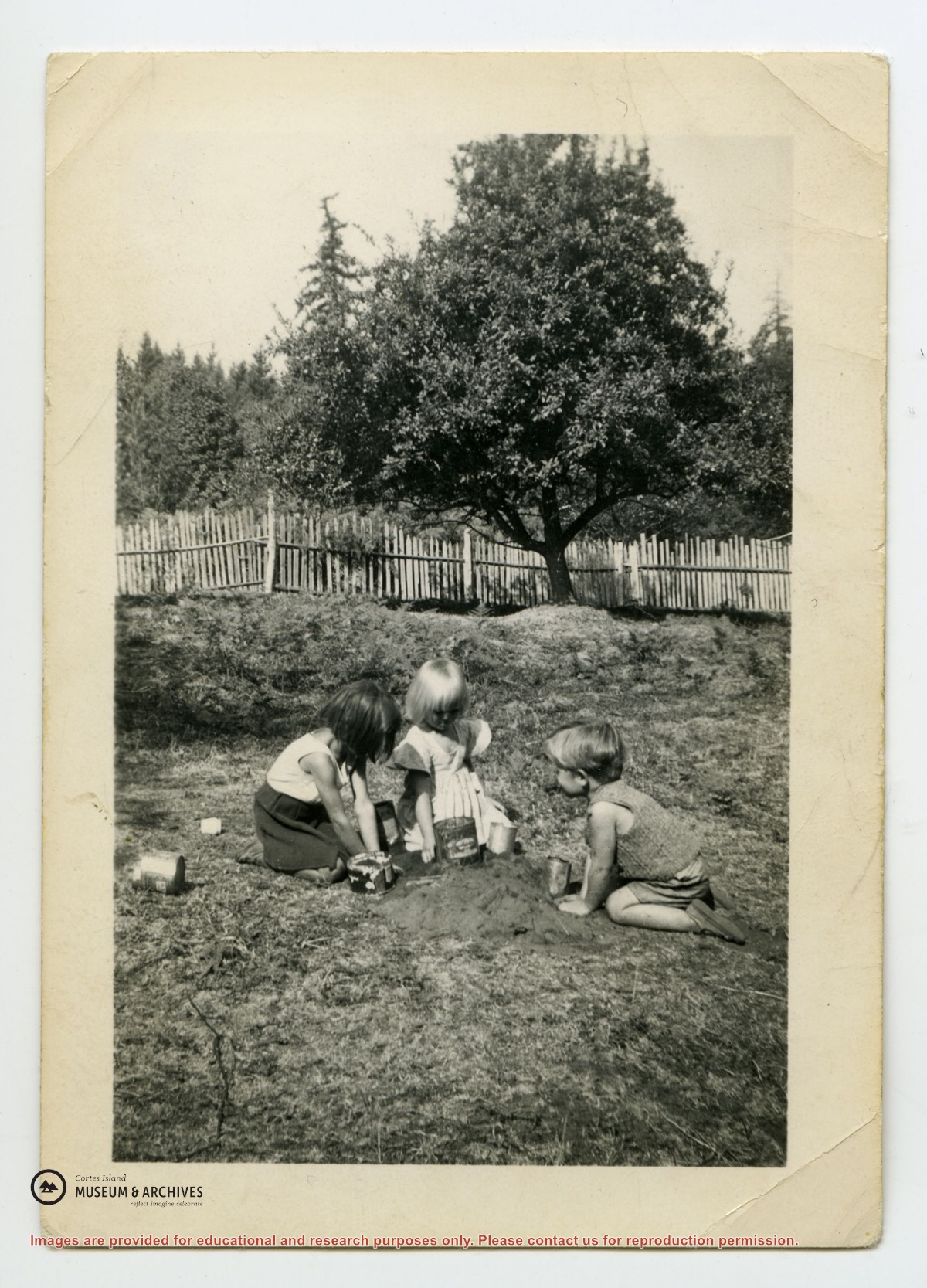
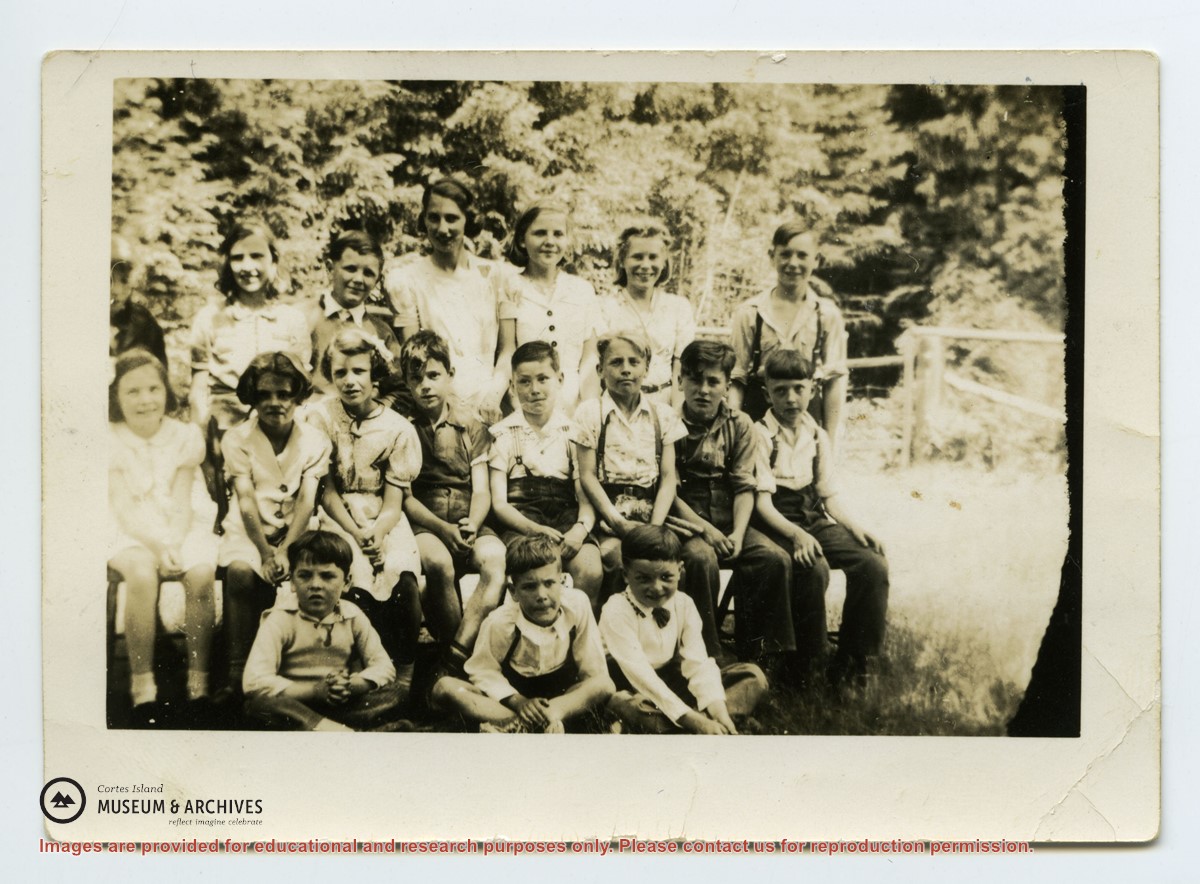
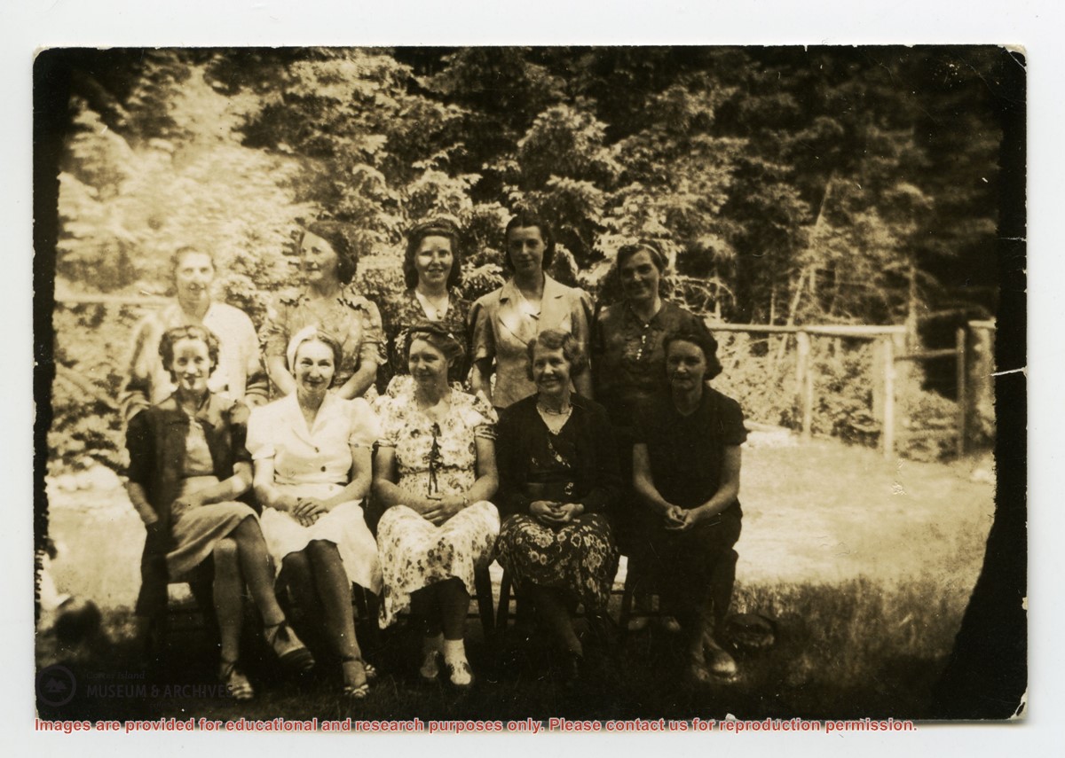
Back row L-R: unknown except Cal Campbell on R
Middle row L-R: Eleanor Christiansen; ?; ?; Fred Brooks Jr, age 8; ?; Bob Hawkins, Bill Illman?, Frank Hayes
Front Row: Bob Christiansen on R
Back row L-R: unknown except Cal Campbell on R
Middle row L-R: Eleanor Christiansen; ?; ?; Fred Brooks Jr, age 8; ?; Bob Hawkins, Bill Illman?, Frank Hayes
Front Row: Bob Christiansen on R