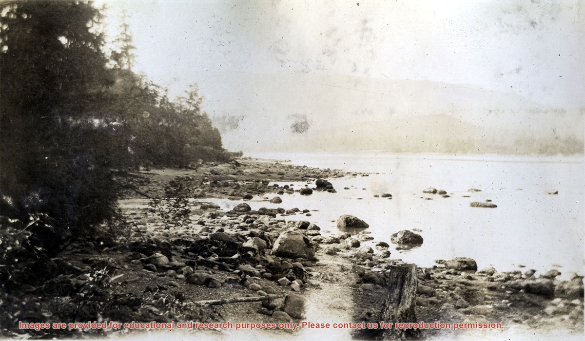
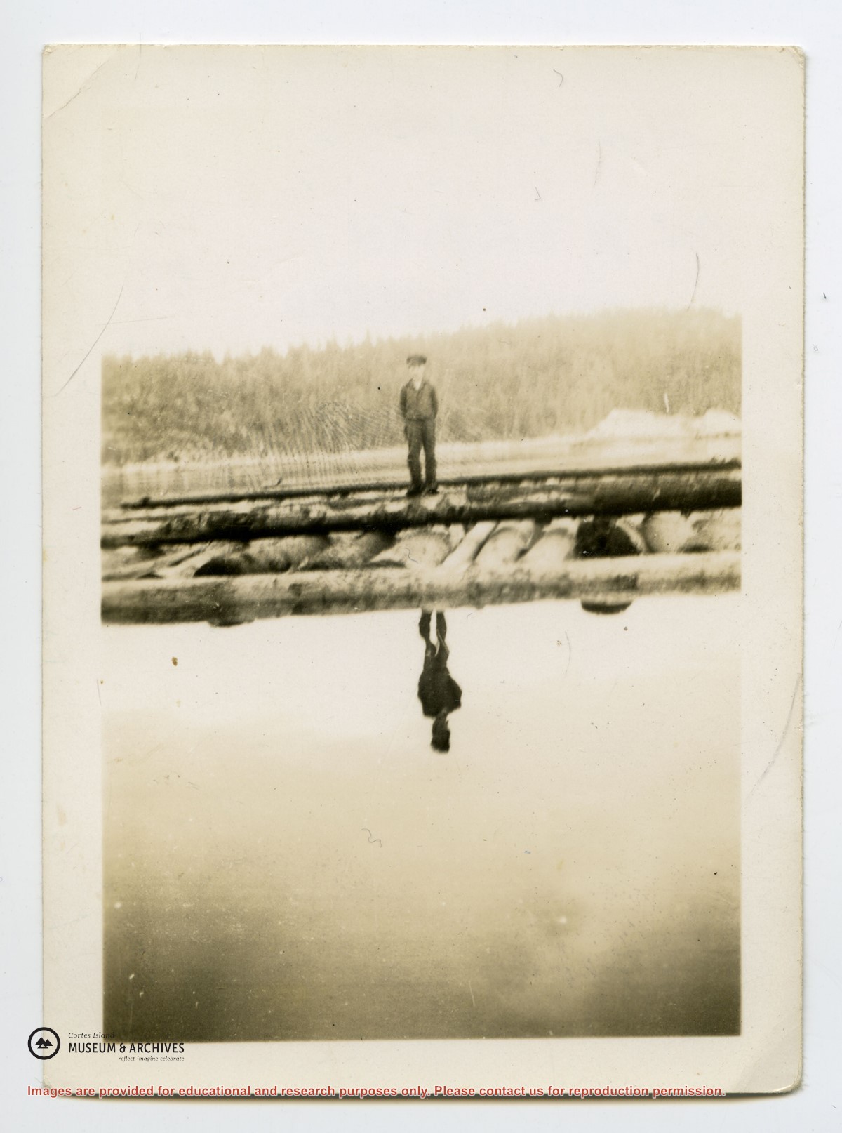
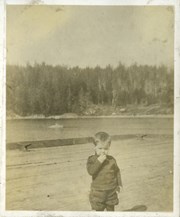
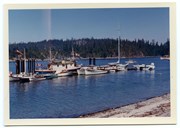
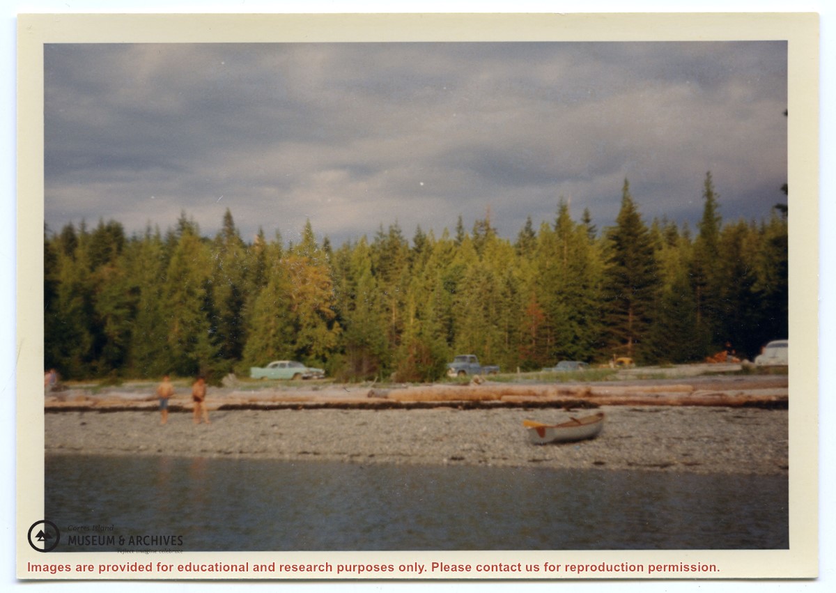
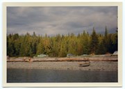
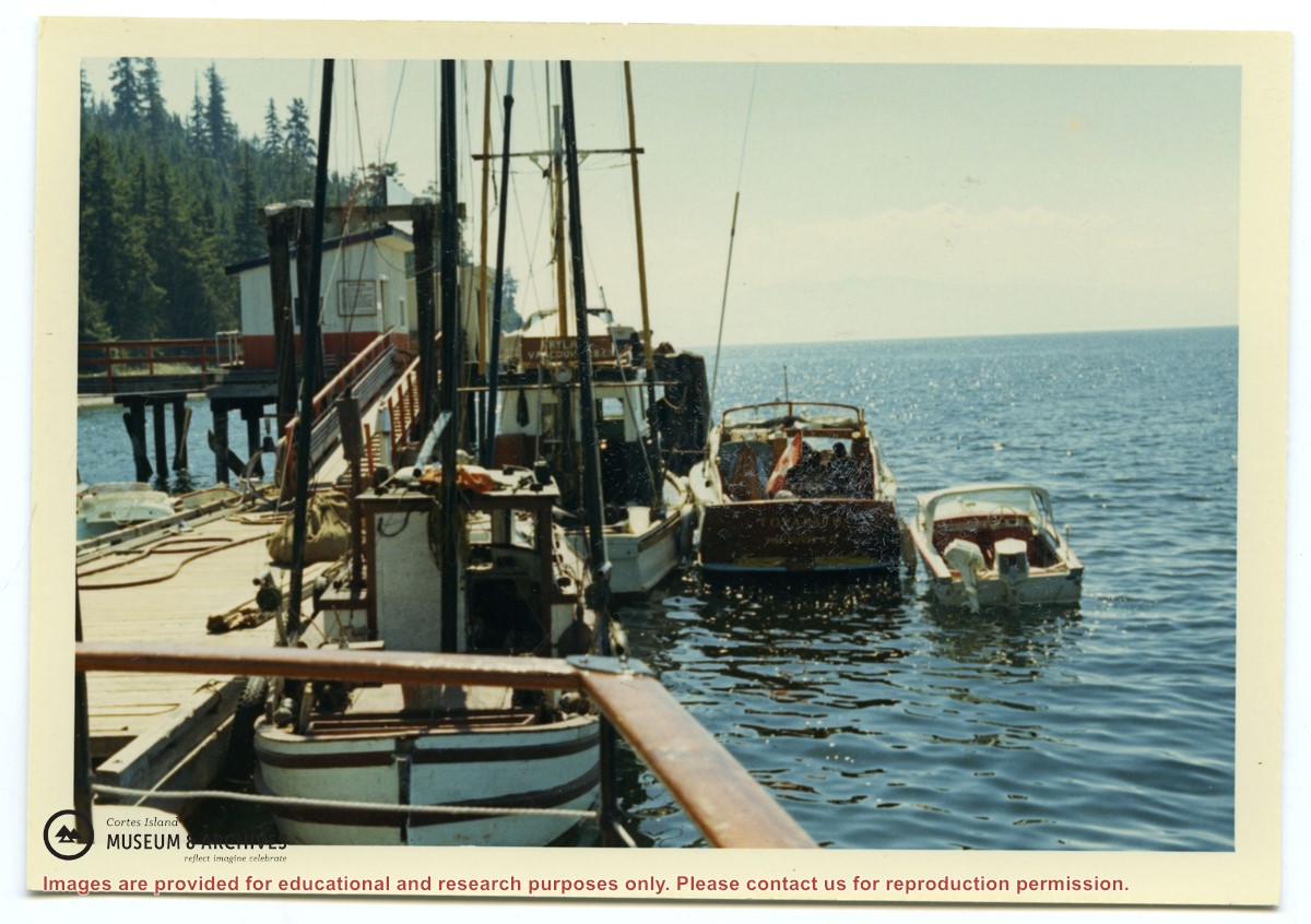
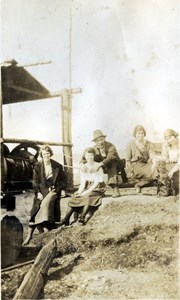
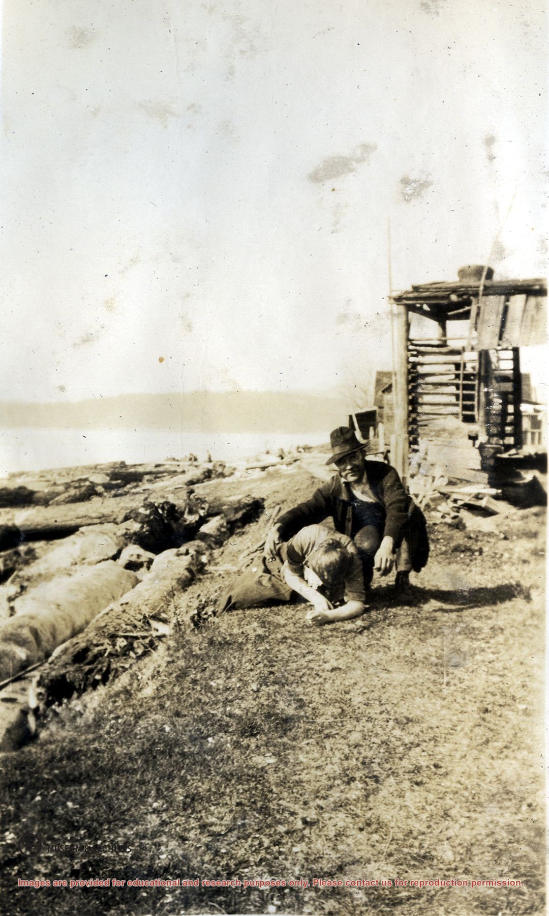
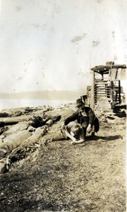
Photograph of Billy Tait standing on the dock in Whaletown. The channel marker and houses near the present-day ferry dock can be seen in the background.
Photograph of Billy Tait standing on the dock in Whaletown. The channel marker and houses near the present-day ferry dock can be seen in the background.
Coloured map of southwestern BC showing municipalities, geographical features, land and sea routes, natural resources, etc. The back of the map is fully printed with information about BC and suggested travel itineraries.
Map needs preservation: edges are frayed and there are several tears.
Coloured map of southwestern BC showing municipalities, geographical features, land and sea routes, natural resources, etc. The back of the map is fully printed with information about BC and suggested travel itineraries.
Map needs preservation: edges are frayed and there are several tears.
BC gov pamphlets from Victoria: Purchase and Lease of Crown Lands, Travel Bureau, Department of Trade and Industry, 1945; The Acquisition of Crown Lands, Lands Service, Deaprtment of Lands, Forests, and Water Resources, 1962
BC gov pamphlets from Victoria: Purchase and Lease of Crown Lands, Travel Bureau, Department of Trade and Industry, 1945; The Acquisition of Crown Lands, Lands Service, Deaprtment of Lands, Forests, and Water Resources, 1962