The base map is a zoning map produced by the Regional District of Comox-
Strathcona for the Cortes Island Land Use Project (Aug 1969). Edwards used
coloured pencil to show land and foreshore zones, and transferred information
about early preemptions and old roads and trails from an earlier map (see
Donald Palmer fonds, 2020.002.011, map of Cortes Island, Sayward District, ca.
1915).
Coloured map of southwestern BC showing municipalities, geographical features, land and sea routes, natural resources, etc. The back of the map is fully printed with information about BC and suggested travel itineraries.
Map needs preservation: edges are frayed and there are several tears.
Coloured map of southwestern BC showing municipalities, geographical features, land and sea routes, natural resources, etc. The back of the map is fully printed with information about BC and suggested travel itineraries.
Map needs preservation: edges are frayed and there are several tears.
File contains hand-written notes on the history of different areas of Von Donop, a map of Cortes Island (1963), and a photocopy of a page from "British Columbia Place Names" about the inlet.
File contains hand-written notes on the history of different areas of Von Donop, a map of Cortes Island (1963), and a photocopy of a page from "British Columbia Place Names" about the inlet.
Clippings and emails with info on park, 1973-2018. Mansons Landing Provincial Park Master Plan, Province of British Columbia, 1987. Info packet "Fauna and Flora Associated with Manson's Lagoon, a portion of Manson's Landing Park," Fred and Ruth Zwickel, 2003. Info on Robert James Taylor, title holder of Manson's Landing in 1966-1967, received in 2010.
Clippings and emails with info on park, 1973-2018. Mansons Landing Provincial Park Master Plan, Province of British Columbia, 1987. Info packet "Fauna and Flora Associated with Manson's Lagoon, a portion of Manson's Landing Park," Fred and Ruth Zwickel, 2003. Info on Robert James Taylor, title holder of Manson's Landing in 1966-1967, received in 2010.
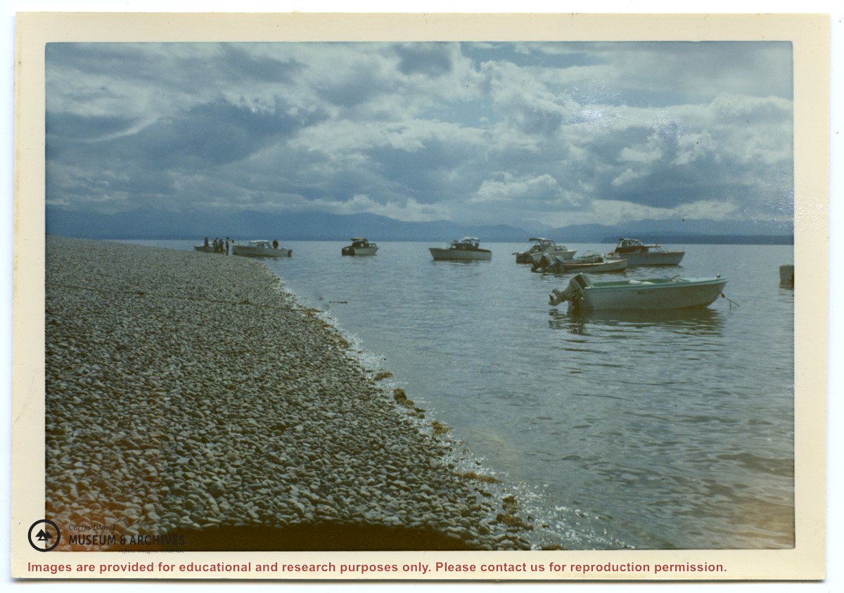
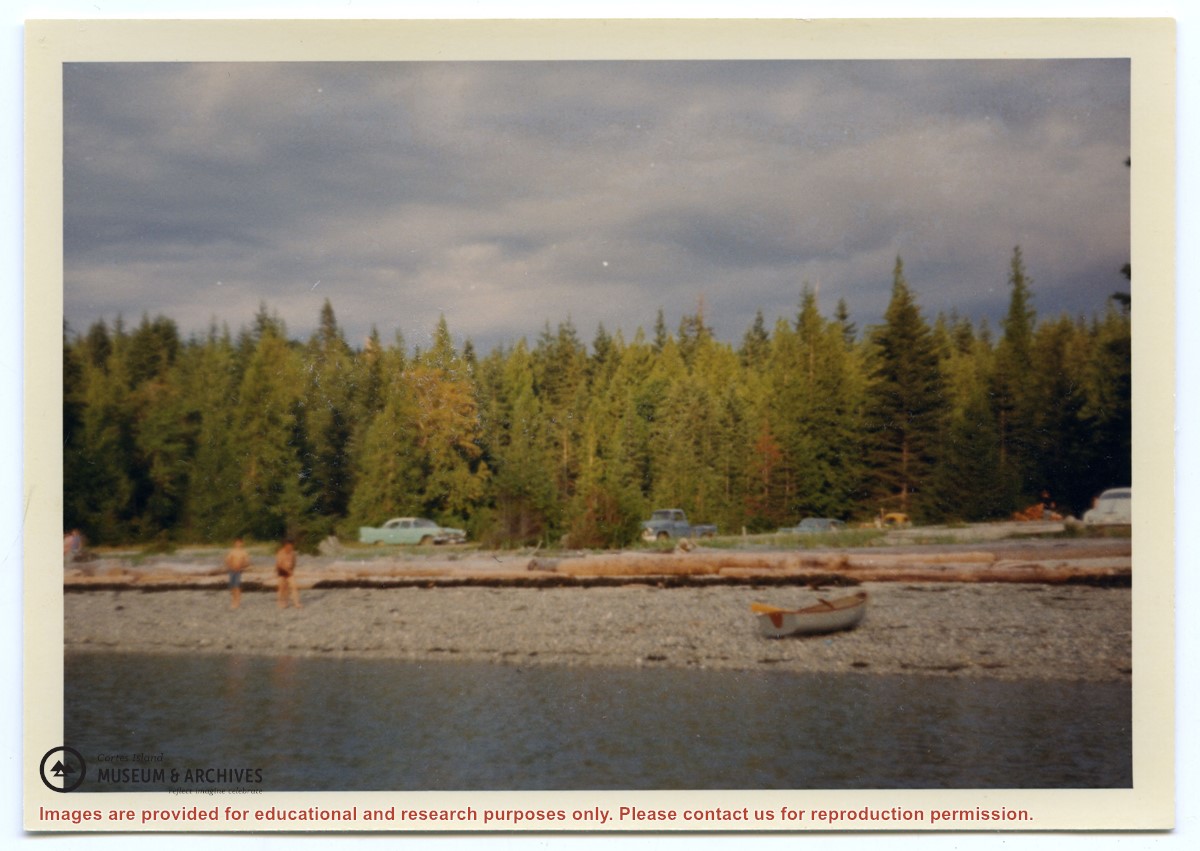
Various maps of Cortes Island and surrounding areas with tourist info, trails, provincial parks, local businesses, sites, property lines, topography, charts, etc, 1916-present. Info on Hiking and Orienteering Map of Cortes Island, 2003, and Cortes Island Community Mapping Project, 2011. Info on Discovery Islands Ecosystem Mapping (DIEM), 2012-2014.
Various maps of Cortes Island and surrounding areas with tourist info, trails, provincial parks, local businesses, sites, property lines, topography, charts, etc, 1916-present. Info on Hiking and Orienteering Map of Cortes Island, 2003, and Cortes Island Community Mapping Project, 2011. Info on Discovery Islands Ecosystem Mapping (DIEM), 2012-2014.