File contains a Key Map to the sections covered in Files 17-19; a list of the sections researched and two pages of notes.
It contains photocopies of Crown Grants and subsequent title changes for the following:
Charles Allen: 1908, Crown Grant for part of NE 1/4 of Sec. 21 lying north of Gorge Harbour (property known as Bute Ranch); 46 acres for $46.00
Bernard Robinson Allen: 1919, Crown Grant for NW 1/4 of Sec. 21; 162 acres for $247.00
Charles Allen: 1905, Crown Grant for SE 1/4 of Sec. 34
(Files 17 through 19 are from the same envelope.)
File contains information for the following properties:
Frederick James Smith: 1921, Crown Grant for SE 1/4 of Sec. 33; 160 acres for $1.00
Charles Allen: 1912, Crown Grant for SW 1/4 of Sec. 33; 160 acres for $160.
George Robson: 1907, Crown Grant for NW 1/4 of Sec. 21; $247.00 for 142 acres.
(Files 17 through 19 are from the same envelope.)
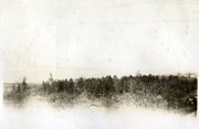
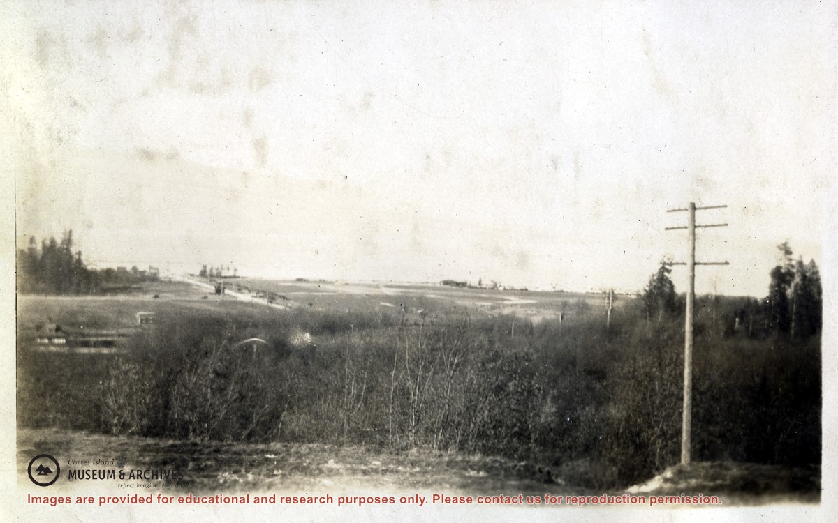
File contains a section map showing properties southeast of Gorge Harbour and title information on the property, later owned by Gilean Douglas, and known as Channel Rock.
To John Pool: 1930, Crown Grant of the W 1/2 of the SE 1/4 of Sec. 21 and fractional SW 1/4 of Sec. 21 and Crown Grant fo the fractional E 1/2 of fractional SE 1/4 of Sec. 21
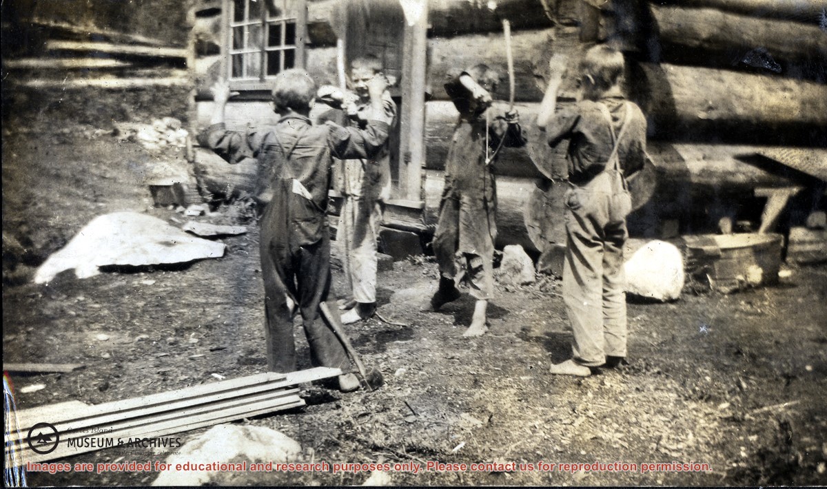
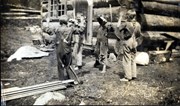
Photograph of four boys including Harry, Jack and Bill Huck. They are barefoot and in overalls, playing with home-made bows and arrows, in front of the unfinished log Huck house at Hell's Half Acre. Dated to 1916 by Doreen Huck.
Photograph of four boys including Harry, Jack and Bill Huck. They are barefoot and in overalls, playing with home-made bows and arrows, in front of the unfinished log Huck house at Hell's Half Acre. Dated to 1916 by Doreen Huck.
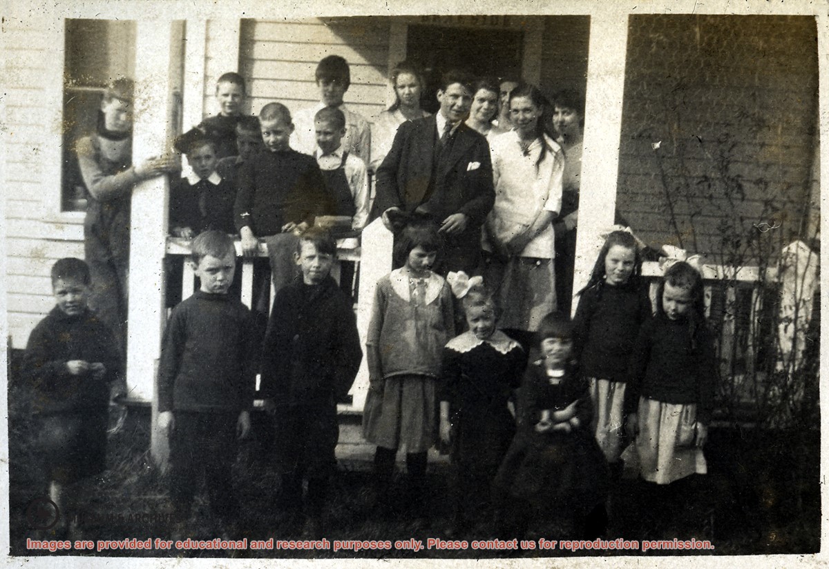
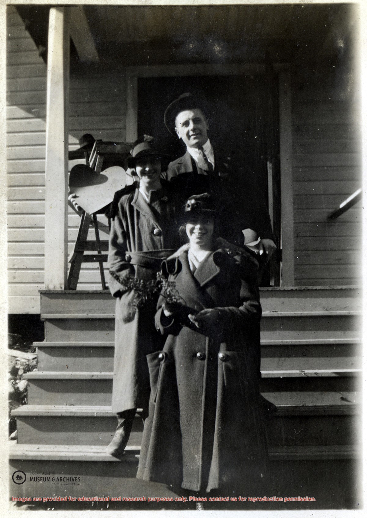
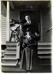
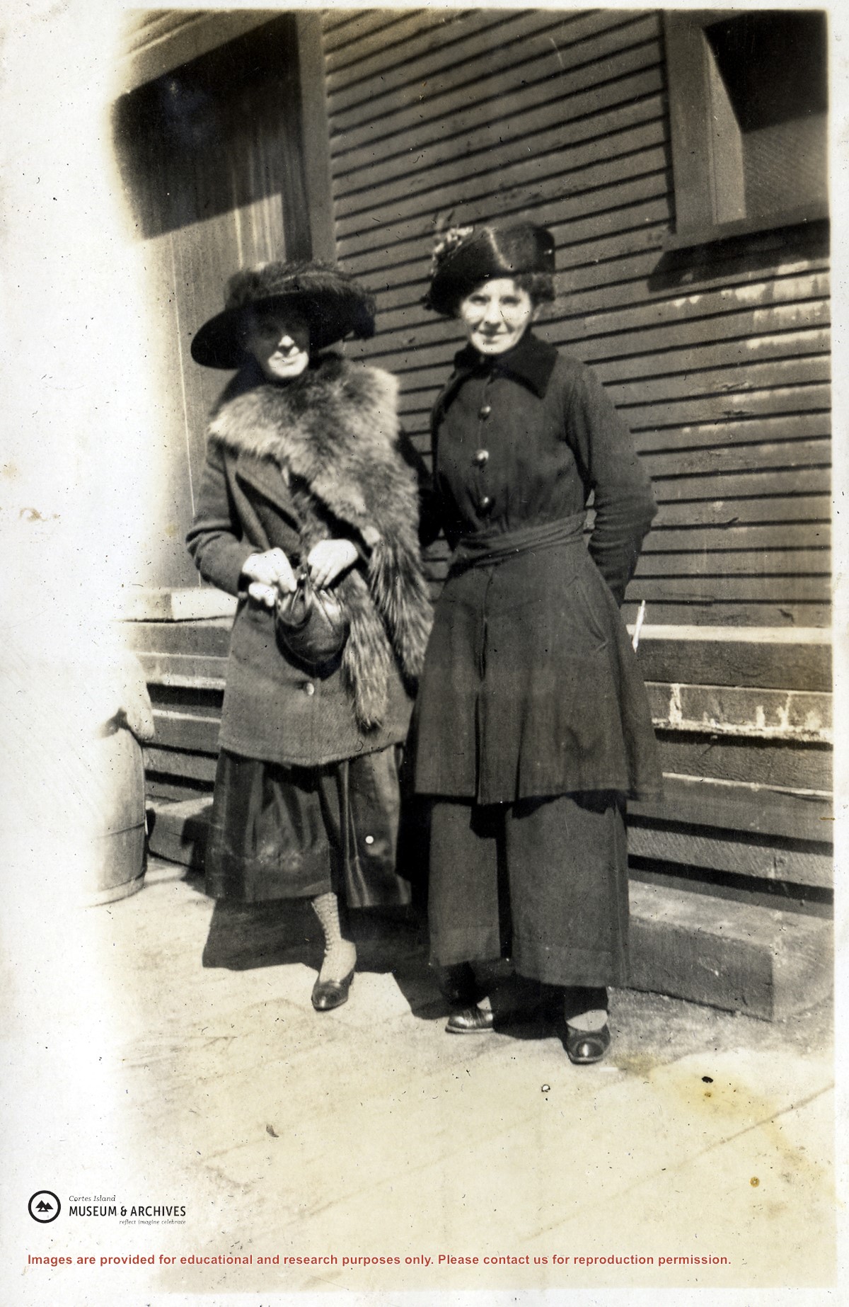
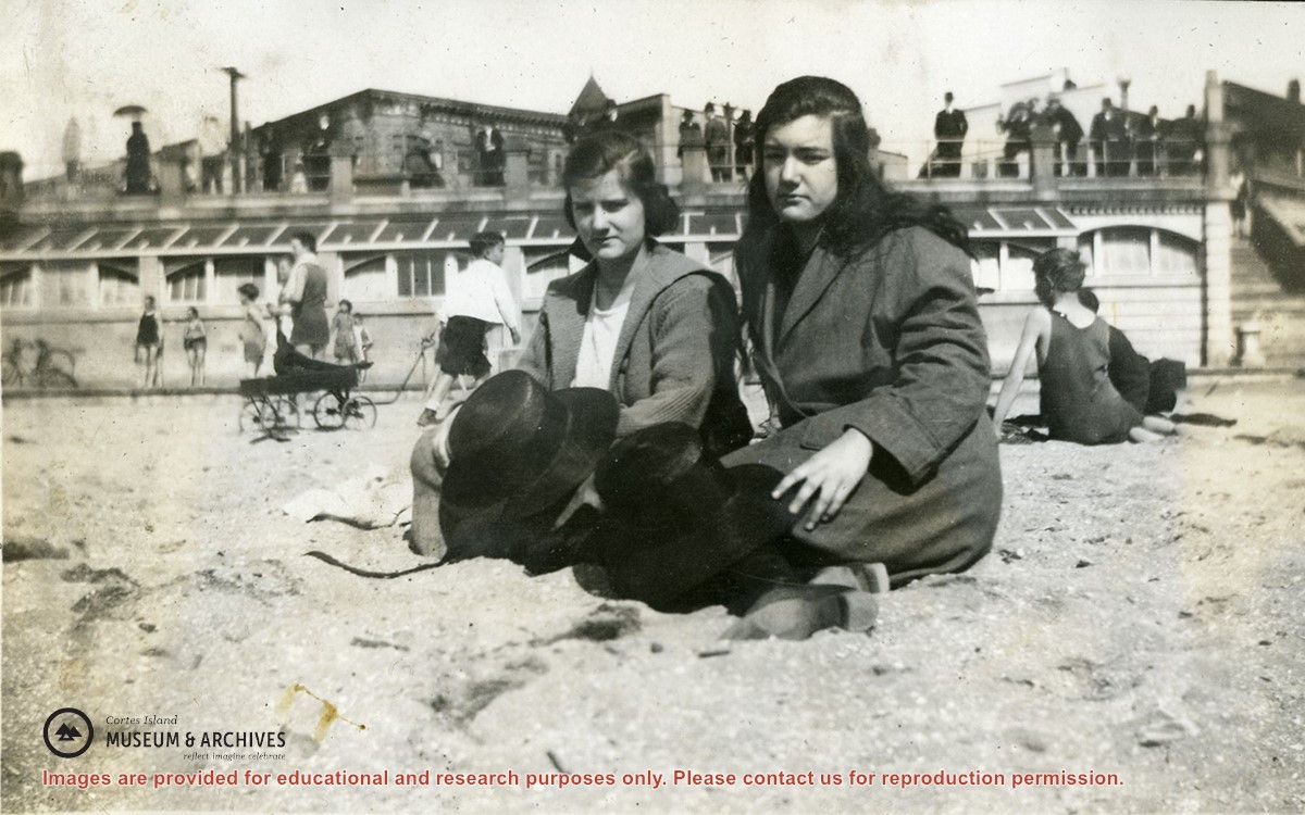
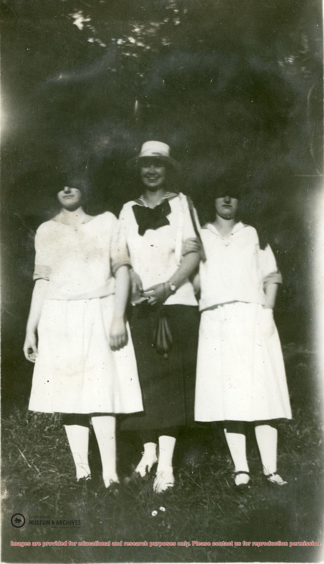
Photograph of Violet Stoney, Bob Groochy (or Gruchy) and Margaret Middleton (Pete) standing on the steps of the Church Hall in Whaletown after the wedding of Bob and Margaret. (Identified by Doreen Huck Thompson.)
Photograph of Violet Stoney, Bob Groochy (or Gruchy) and Margaret Middleton (Pete) standing on the steps of the Church Hall in Whaletown after the wedding of Bob and Margaret. (Identified by Doreen Huck Thompson.)