File contains a Key Map to the sections covered in Files 17-19; a list of the sections researched and two pages of notes.
It contains photocopies of Crown Grants and subsequent title changes for the following:
Charles Allen: 1908, Crown Grant for part of NE 1/4 of Sec. 21 lying north of Gorge Harbour (property known as Bute Ranch); 46 acres for $46.00
Bernard Robinson Allen: 1919, Crown Grant for NW 1/4 of Sec. 21; 162 acres for $247.00
Charles Allen: 1905, Crown Grant for SE 1/4 of Sec. 34
(Files 17 through 19 are from the same envelope.)
File contains information for the following properties:
Frederick James Smith: 1921, Crown Grant for SE 1/4 of Sec. 33; 160 acres for $1.00
Charles Allen: 1912, Crown Grant for SW 1/4 of Sec. 33; 160 acres for $160.
George Robson: 1907, Crown Grant for NW 1/4 of Sec. 21; $247.00 for 142 acres.
(Files 17 through 19 are from the same envelope.)
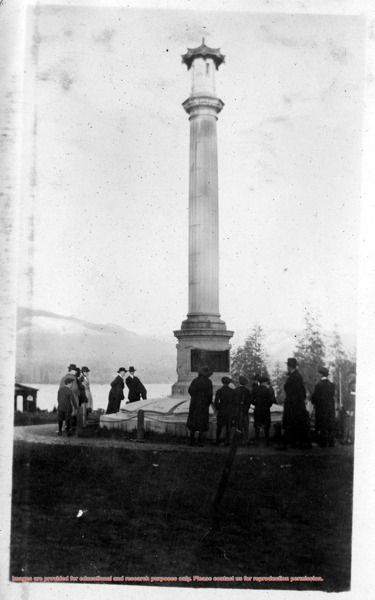
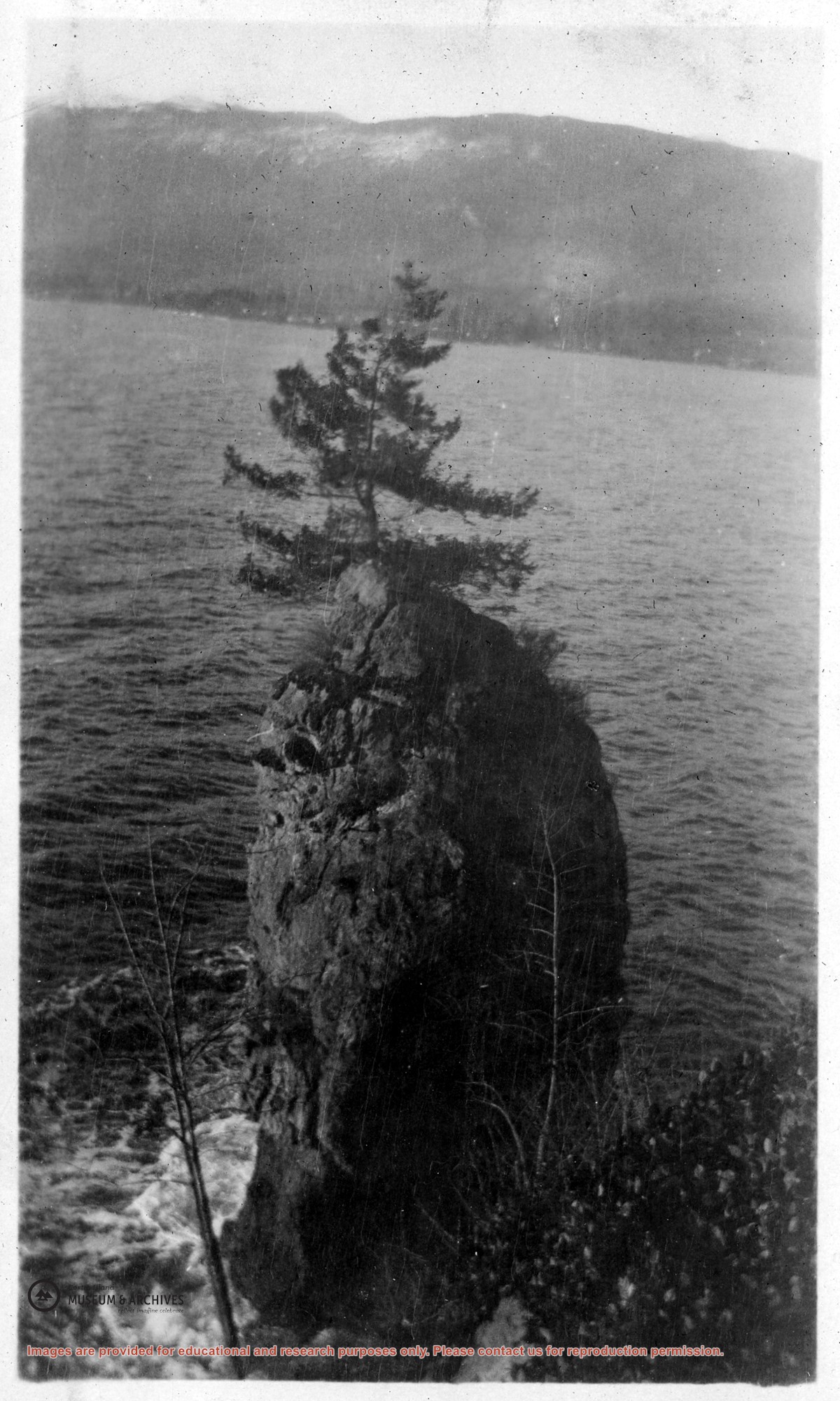
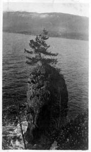
File contains a section map showing properties southeast of Gorge Harbour and title information on the property, later owned by Gilean Douglas, and known as Channel Rock.
To John Pool: 1930, Crown Grant of the W 1/2 of the SE 1/4 of Sec. 21 and fractional SW 1/4 of Sec. 21 and Crown Grant fo the fractional E 1/2 of fractional SE 1/4 of Sec. 21
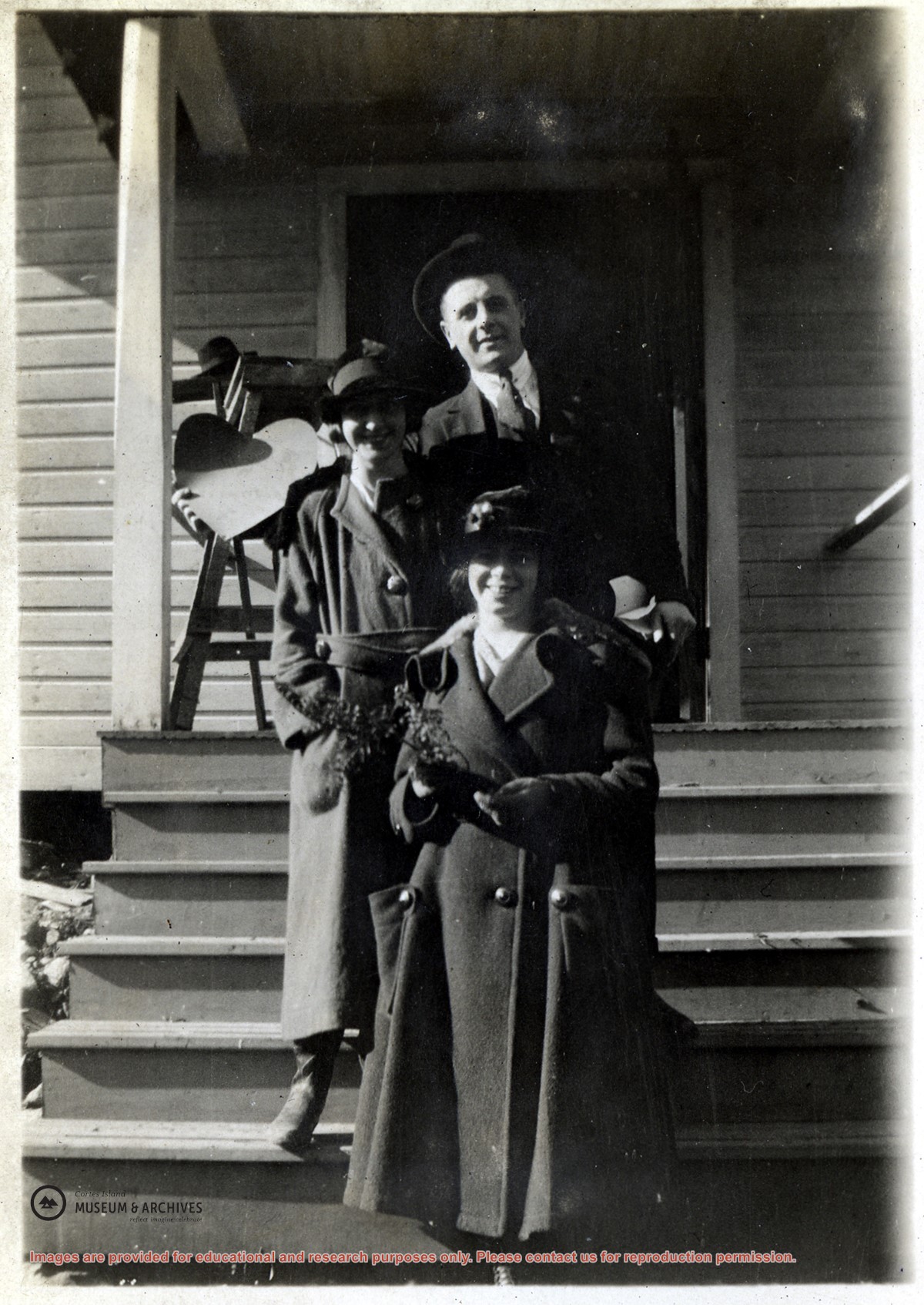
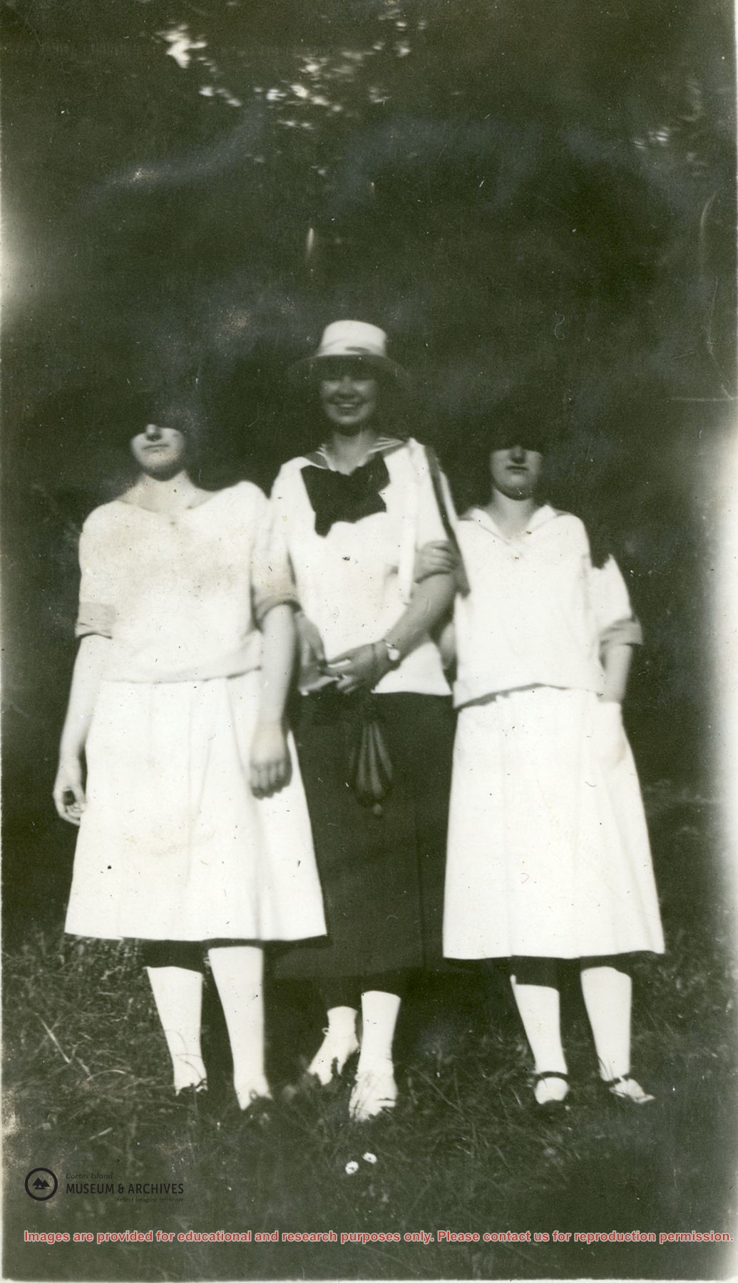
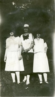
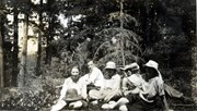
Photograph of Violet Stoney, Bob Groochy (or Gruchy) and Margaret Middleton (Pete) standing on the steps of the Church Hall in Whaletown after the wedding of Bob and Margaret. (Identified by Doreen Huck Thompson.)
Photograph of Violet Stoney, Bob Groochy (or Gruchy) and Margaret Middleton (Pete) standing on the steps of the Church Hall in Whaletown after the wedding of Bob and Margaret. (Identified by Doreen Huck Thompson.)
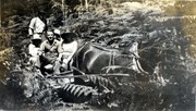
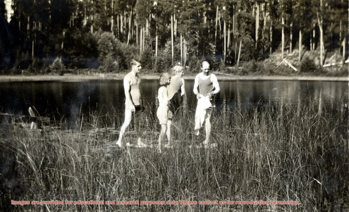
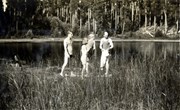
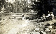
Photograph of Bob, Margaret Huck, Mabel Huck and Bert Middleton of Braeside ('Boo') at the edge of Delight Lake in Green Valley. (Identification by Doreen Huck Thompson)
Photograph of Bob, Margaret Huck, Mabel Huck and Bert Middleton of Braeside ('Boo') at the edge of Delight Lake in Green Valley. (Identification by Doreen Huck Thompson)
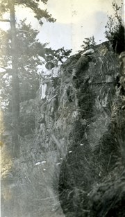
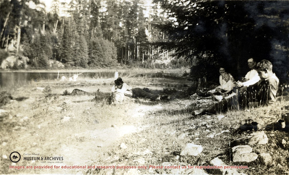
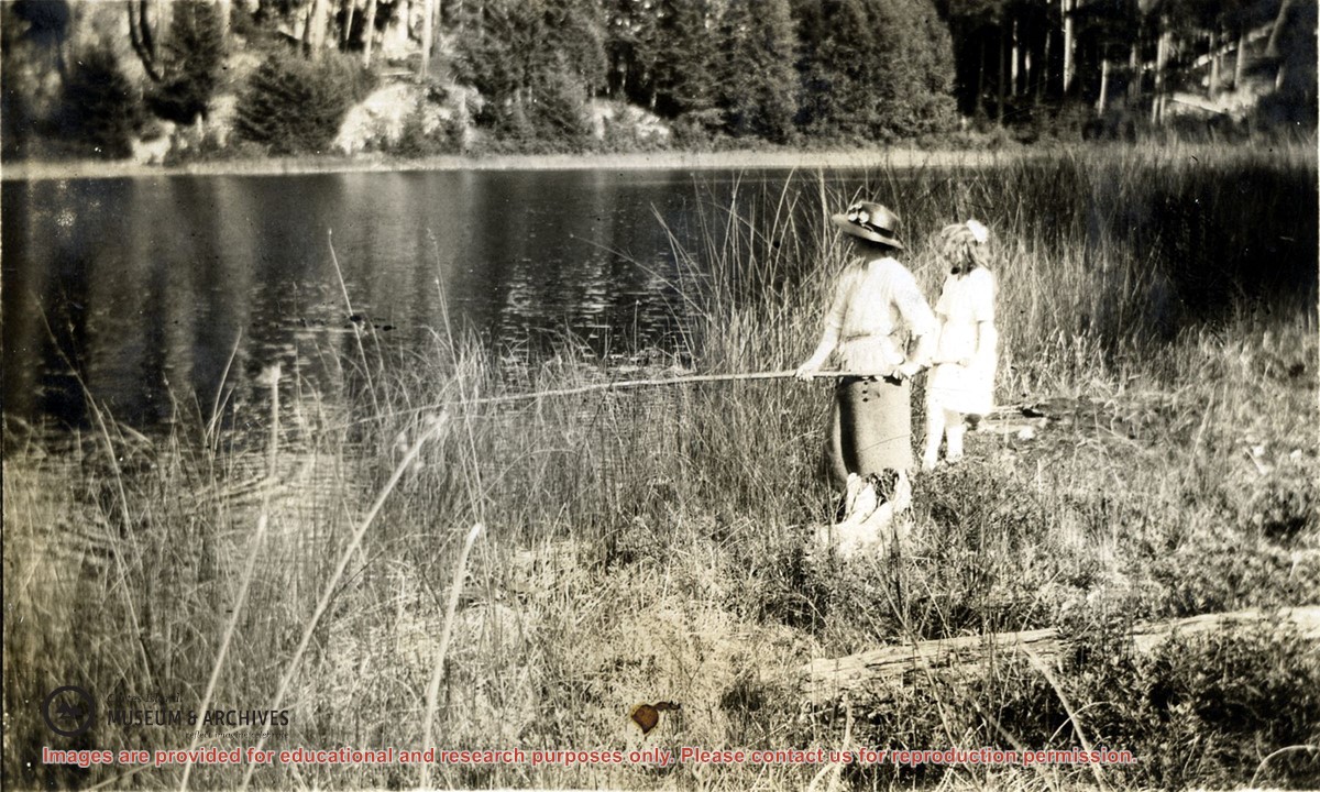
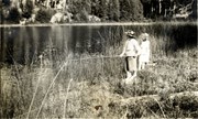
Photograph of Pauline Middleton, holding a fishing rod, with Verna Munro standing beside her at the edge of Delight Lake. The far shore of the small lake is clear in the background.
Photograph of Pauline Middleton, holding a fishing rod, with Verna Munro standing beside her at the edge of Delight Lake. The far shore of the small lake is clear in the background.
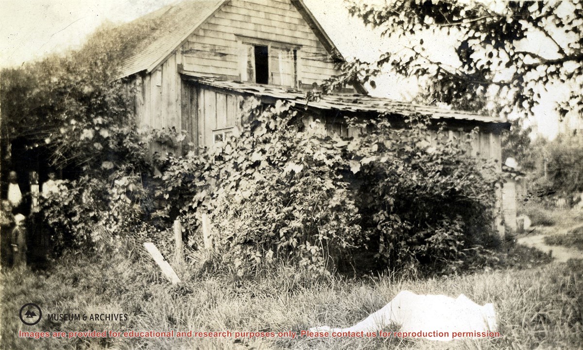
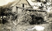
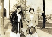
Photograph of a wood shingled house at the Robertson homestead, Burnside. The house is surrounded by bushes and vines. Two men and a boy are standing to the left; a person dressed all in white is lying on the ground.
Photograph of a wood shingled house at the Robertson homestead, Burnside. The house is surrounded by bushes and vines. Two men and a boy are standing to the left; a person dressed all in white is lying on the ground.