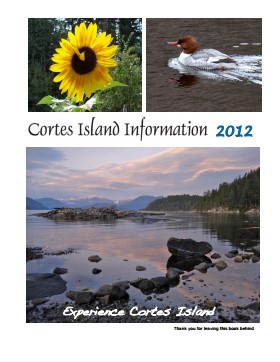
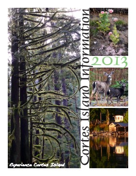
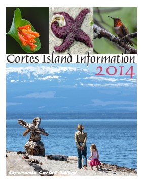
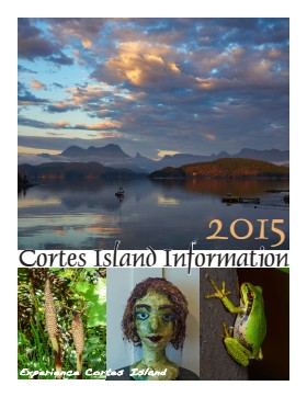
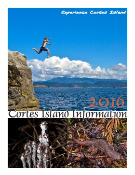
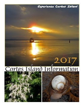
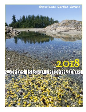
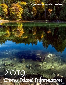
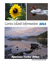
Series of 12 spiral-bound booklets containing information about activities, businesses, events, services and articles about various aspects of island life. There are two copies of 2015.
Cortes Island Information Books were initiated by Carol London, who wanted a handbook to give to guests at Tai Li Lodge. The first issues were created by Carina Verhoeve, and after 2012, by Gina Trzesicka.
Scope and Content
Series of 12 spiral-bound booklets containing information about activities, businesses, events, services and articles about various aspects of island life. There are two copies of 2015.
Cortes Island Museum maintains informational files on subjects of local interest as a research resource. Contents of files may contain clippings or photocopied newspaper and magazine articles, correspondence (including printed email correspondence) and other non-archival material. This is a dynamic file, with changes made on an on-going basis.
Cortes Island Museum maintains informational files on subjects of local interest as a research resource. Contents of files may contain clippings or photocopied newspaper and magazine articles, correspondence (including printed email correspondence) and other non-archival material. This is a dynamic file, with changes made on an on-going basis.
File contains genealogical information, photocopies of pictures, notes, and a CD labelled "Logan Family Photos" (2006.001.040 - stored in CD/DVD Album). Includes a photocopy of a World War I Diary of Dennis Walker.
File contains genealogical information, photocopies of pictures, notes, and a CD labelled "Logan Family Photos" (2006.001.040 - stored in CD/DVD Album). Includes a photocopy of a World War I Diary of Dennis Walker.
This fonds contains textual records, photographs and other archival material relating to the history and functions of the Cortes Island Museum & Archives Society. It includes material created for exhibits and research on Cortes social and natural history.
This fonds contains textual records, photographs and other archival material relating to the history and functions of the Cortes Island Museum & Archives Society. It includes material created for exhibits and research on Cortes social and natural history.
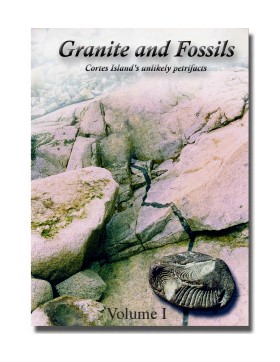
"Granite and Fossils" is a compilation of informatioin about Cortes Island fossils created by Christian Gronau for the Cortes Island Museum in 2002 and updated in 2016 and 2023. It has been digitized as Volume 1 and Volume 2.
Christian Gronau studied palaeontology and geology in Germany. He came to Canada in 1972 and
worked in the mining sector in the N.W.T. (among other places), where he met Aileen.
Christian and Aileen (C&A) moved together to Cortes Island in 1978, where they lived for 34 years on a
water-access-only property, without hydro or telephone (Swamp’s Edge), supporting themselves as beach-
only shellfish farmers (Last Farm Oysters). Throughout, C&A have been avid naturalists, continuing this
tradition from their present home at the south-end of Cortes Island (Tanglebank).
Scope and Content
"Granite and Fossils" is a compilation of informatioin about Cortes Island fossils created by Christian Gronau for the Cortes Island Museum in 2002 and updated in 2016 and 2023. It has been digitized as Volume 1 and Volume 2.
File contains title information and photocopies of land grants and subsequent conveyances for the following:
John Williams: 1914, Crown Grant for the fractional SW 1/4 of Sec 22 and fractional NW 1/4 of Sec 22 (east of Gorge Harbour entrance)
John Williams: 1914, Crown Grant for the fractional SW 1/4 of Sec 22 and frac. NW 1/4 of Sec 18 (west of the Gorge Harbour entrance)
File contains three oversize maps which are stored in the map cabinet: Map of Section 22, Plan VIP52378, Lots A,B,C (blueprint map; 85 cm x 54 cm, 1985); map of Plan 27966 (blueprint map; 55 cm x 43 cm, 1974); photocopy of map of fractional NW 1/4 Sec 17 (55 cm x 43 cm, 1973)
(Files 3 through 7 are from the same envelope.)
File contains a photocopy of Crown Grant and documentation of subsequent changes in title for:
William Barrett Lennard: 1928, Crown Grant for the SE and SW 1/4s of Section 23 (on the SE shore of Gorge Harbour)
(Files 3 through 7 are from the same envelope.)
File contains a photocopy of Crown Grant and documentation of subsequent changes in title for:
William Barrett Lennard: 1928, Crown Grant for the SE and SW 1/4s of Section 23 (on the SE shore of Gorge Harbour)
(Files 3 through 7 are from the same envelope.)
File contains a photocopy of Crown Grant and documentation of subsequent changes in title for:
Eliza Breeze: 1920, Crown Grant for Fractional NW 1/4 of Section 18 (east of the entrance to Gorge Harbour)
(Files 3 through 7 are from the same envelope.)
File contains a photocopy of Crown Grant and documentation of subsequent changes in title for:
Eliza Breeze: 1920, Crown Grant for Fractional NW 1/4 of Section 18 (east of the entrance to Gorge Harbour)
(Files 3 through 7 are from the same envelope.)
File contains a section map showing properties southeast of Gorge Harbour and title information on the property, later owned by Gilean Douglas, and known as Channel Rock.
To John Pool: 1930, Crown Grant of the W 1/2 of the SE 1/4 of Sec. 21 and fractional SW 1/4 of Sec. 21 and Crown Grant fo the fractional E 1/2 of fractional SE 1/4 of Sec. 21
File contains a coloured map with researched properties coloured in, and title information and photocopies of land grants and subsequent conveyances for the following:
Edward James Breeze: 1931, Crown Grant for District Lot 1373 (parts of Section 23 and Section 17, at the southeast end of Gorge Harbour by Anvil Lake)
Frank Harper: 1913, Crown Grant for the NE 96 acres of Section 23 (at the northeast end of Gorge Harbour)
(Files 3 through 7 are from the same envelope.)
File contains title information to 1991 and a photocopy of the original Crown Grant to:
Nicholas Thompson: 1920, Crown Grant of Fractional SW 1/4 of Section 35; 54 acres on the southwest of Whaletown Bay
File contains a small explanatory map if a 5.5 acre portion of fractional SW 1/4 of Sec. 35, 1949, and a Subdivision Plan map of part of fractional SW 1/4 of Sec. 35, 1957 (stored in the Map Cabinet).
(Files 9 and 10 are from the same envelope.)
File contains photocopies of original Crown Grants, subsequent title changes and maps for:
To Joseph Gregson: 1926, Crown Grant for fractional W 1/2 of Lot 899 and Lot 901 (between Coulter and Carrington Bays), with a water easement for Wailes
To John Nugent McIllree: 1957, Crown Grant of mineral rights to lots at Coulter Bay surveyed as the "Arrow" and "Bullseye" mineral claims
To Hilda Peterson: 1919, Crown Grant for Lot 878, Carrington Bay, 55 acres
(Files 12 through 16 are from the same envelope.)
File contains a page of notes, and photocopies of a tax sale notice (1938) and list of properties forfeited for non-payment of taxes, Crown Grants and other title information for the following:
William Walter James: 1926, Crown Grant for NW 1/4 of Sec. 38; 156 acres for $1.00; forfeited to Crown in 1939
Tom Albinson: 1919, Crown Grant for Lot 867; forfeited in 1927
Sadie McMurray: 1917, NE 1/4 of Sec. 39; 160 acres for $160
Peter Police: 1925, fractional NW 1/4 of Sec. 39; 103 acres for $1.00
(Files 12 through 16 are from the same envelope.)