The base map is a zoning map produced by the Regional District of Comox-
Strathcona for the Cortes Island Land Use Project (Aug 1969). Edwards used
coloured pencil to show land and foreshore zones, and transferred information
about early preemptions and old roads and trails from an earlier map (see
Donald Palmer fonds, 2020.002.011, map of Cortes Island, Sayward District, ca.
1915).
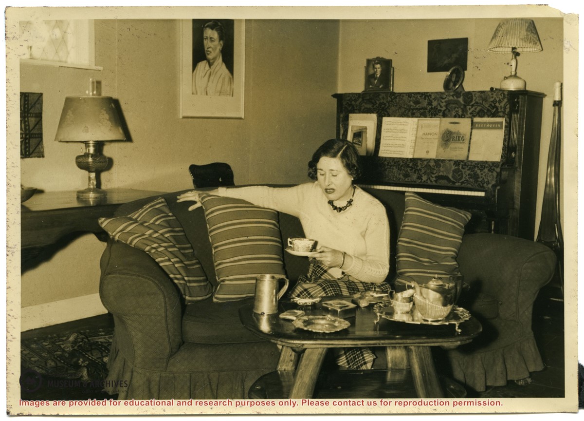
Photograph of Barbara Hunt, seated on a couch in her living room. In front of her is a table set for tea; behind is a piano. This is the same location as photo #1999.001.781.
Photograph of Barbara Hunt, seated on a couch in her living room. In front of her is a table set for tea; behind is a piano. This is the same location as photo #1999.001.781.