The base map is a zoning map produced by the Regional District of Comox-
Strathcona for the Cortes Island Land Use Project (Aug 1969). Edwards used
coloured pencil to show land and foreshore zones, and transferred information
about early preemptions and old roads and trails from an earlier map (see
Donald Palmer fonds, 2020.002.011, map of Cortes Island, Sayward District, ca.
1915).
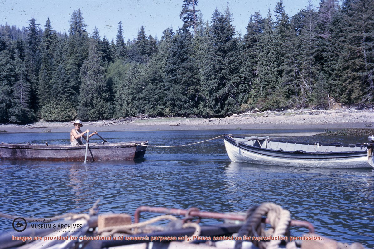
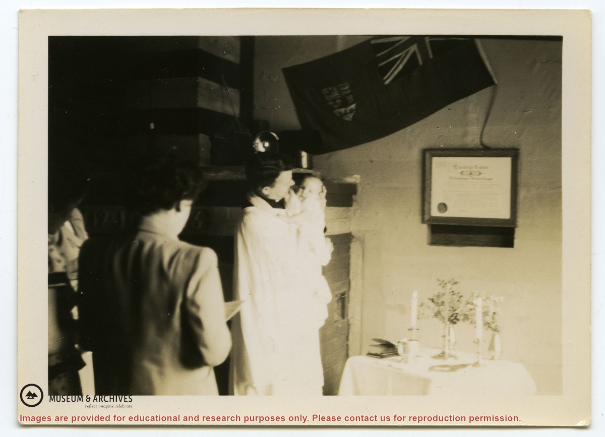
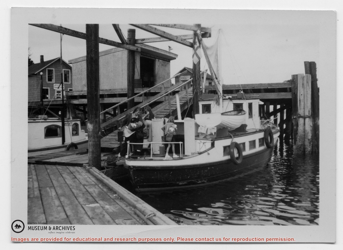
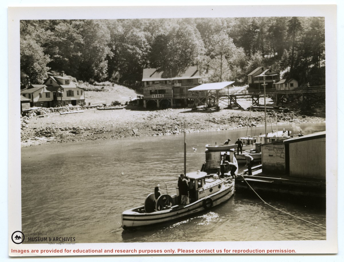
Photograph of Kathleen Boas and her two daughters loading the "Rendezvous" at the Whaletown wharf. The Whaletown store is at upper left; the freight shed just to the right of the ramp, with the fuel shed to its right. Captioned "Boas family coming aboard with everything for the trip."
Photograph of Kathleen Boas and her two daughters loading the "Rendezvous" at the Whaletown wharf. The Whaletown store is at upper left; the freight shed just to the right of the ramp, with the fuel shed to its right. Captioned "Boas family coming aboard with everything for the trip."