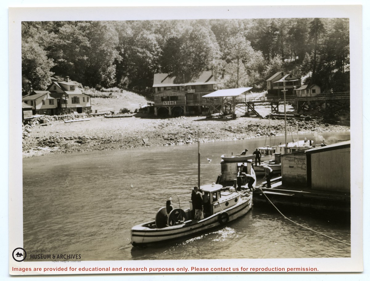
The base map is a zoning map produced by the Regional District of Comox-
Strathcona for the Cortes Island Land Use Project (Aug 1969). Edwards used
coloured pencil to show land and foreshore zones, and transferred information
about early preemptions and old roads and trails from an earlier map (see
Donald Palmer fonds, 2020.002.011, map of Cortes Island, Sayward District, ca.
1915).
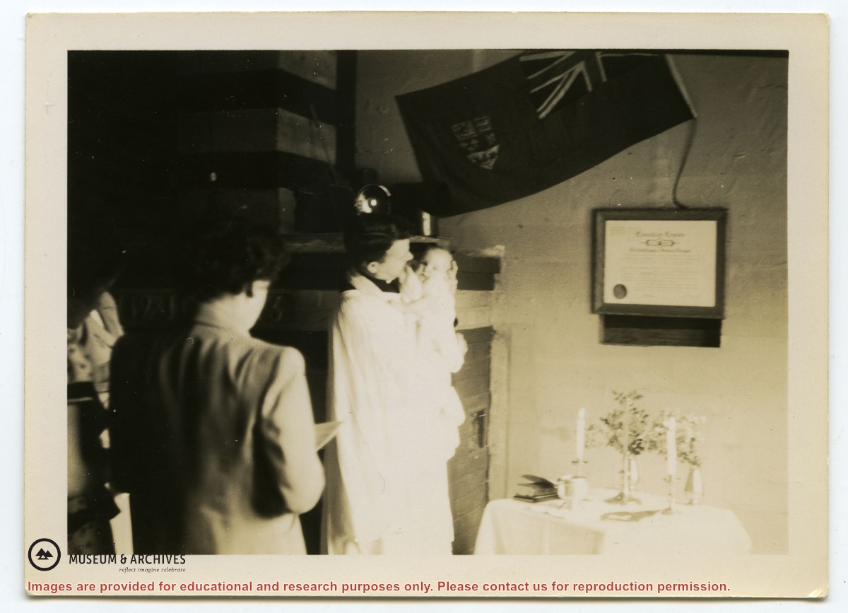
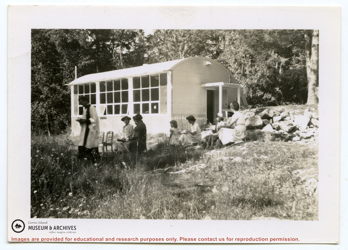
Photograph of Rev. Rollo Boas leading a church service just outside the school building at Surge Narrows on Read Island. Five women and a girl are seated in chairs or on the grass.
Photograph of Rev. Rollo Boas leading a church service just outside the school building at Surge Narrows on Read Island. Five women and a girl are seated in chairs or on the grass.