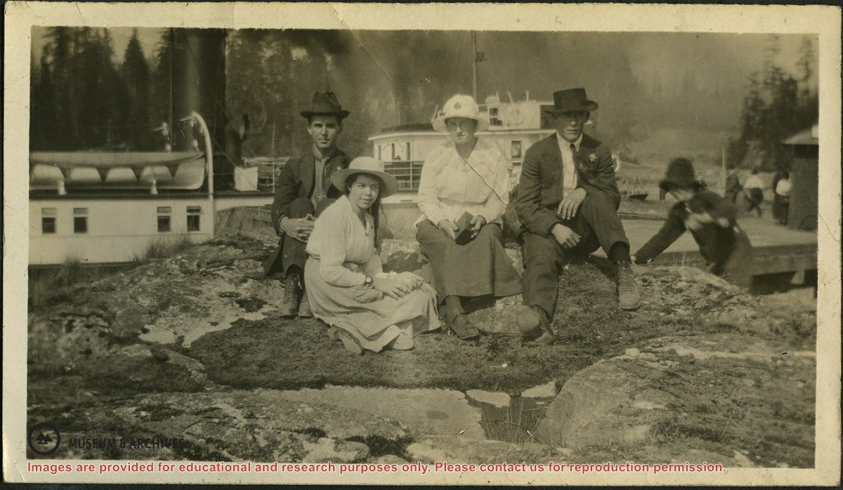
Photograph of Allan (last name?), Pete (Margaret Middleton), Chickie (real name?) and Henry (last name?) seated on a rock beside the dock in Whaletown. A Union Steamship is behind them and the wharf and freight shed are to the right.
Photograph of Allan (last name?), Pete (Margaret Middleton), Chickie (real name?) and Henry (last name?) seated on a rock beside the dock in Whaletown. A Union Steamship is behind them and the wharf and freight shed are to the right.
The base map is a zoning map produced by the Regional District of Comox-
Strathcona for the Cortes Island Land Use Project (Aug 1969). Edwards used
coloured pencil to show land and foreshore zones, and transferred information
about early preemptions and old roads and trails from an earlier map (see
Donald Palmer fonds, 2020.002.011, map of Cortes Island, Sayward District, ca.
1915).