The base map is a zoning map produced by the Regional District of Comox-
Strathcona for the Cortes Island Land Use Project (Aug 1969). Edwards used
coloured pencil to show land and foreshore zones, and transferred information
about early preemptions and old roads and trails from an earlier map (see
Donald Palmer fonds, 2020.002.011, map of Cortes Island, Sayward District, ca.
1915).
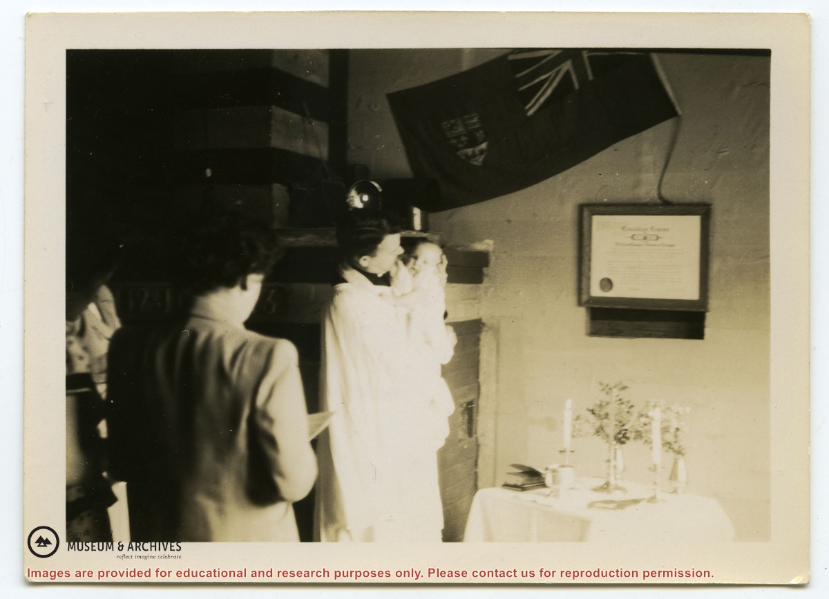
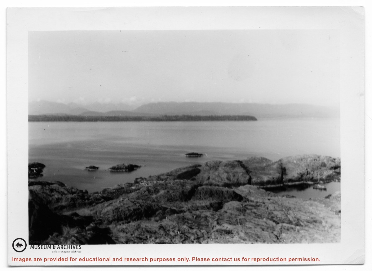
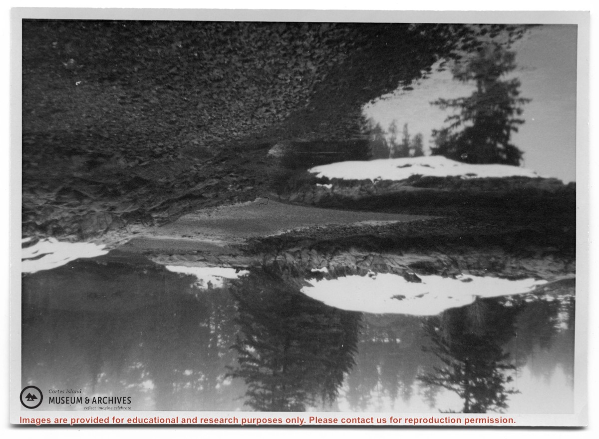
File contains a draft, with edits, of a brochure for the Seniors' Building Complex. Also contains two (2) b&w photographic prints and one (1) ink drawing.
File contains a draft, with edits, of a brochure for the Seniors' Building Complex. Also contains two (2) b&w photographic prints and one (1) ink drawing.