The base map is a zoning map produced by the Regional District of Comox-
Strathcona for the Cortes Island Land Use Project (Aug 1969). Edwards used
coloured pencil to show land and foreshore zones, and transferred information
about early preemptions and old roads and trails from an earlier map (see
Donald Palmer fonds, 2020.002.011, map of Cortes Island, Sayward District, ca.
1915).
Notes on the Rev. Rollo Boas, skipper and chaplain of the "Rendezvous" for the Columbia Coast Mission from 1944 to 1954, with headquarters in Whaletown, and his wife Kathleen (Kay)
Notes on the Rev. Rollo Boas, skipper and chaplain of the "Rendezvous" for the Columbia Coast Mission from 1944 to 1954, with headquarters in Whaletown, and his wife Kathleen (Kay)
Coloured map of southwestern BC showing municipalities, geographical features, land and sea routes, natural resources, etc. The back of the map is fully printed with information about BC and suggested travel itineraries.
Map needs preservation: edges are frayed and there are several tears.
Coloured map of southwestern BC showing municipalities, geographical features, land and sea routes, natural resources, etc. The back of the map is fully printed with information about BC and suggested travel itineraries.
Map needs preservation: edges are frayed and there are several tears.
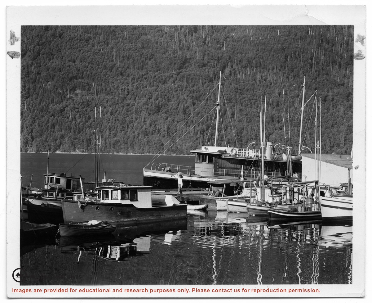
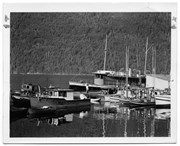
Photograph of the "Columbia" and the "John Antle" at the wharf on Stuart Island. Other boats are also tied up at the dock; there are buildings at the head of the wharf. See also #1999.001.938, which is a crop from this photo.
2 photograph prints: b&w; 12.5 x 10 cm and 25.5 x 12 cm
Scope and Content
Photograph of the "Columbia" and the "John Antle" at the wharf on Stuart Island. Other boats are also tied up at the dock; there are buildings at the head of the wharf. See also #1999.001.938, which is a crop from this photo.
.jpg?width=1200&404=no-img.jpg&watermark=wmk)
.jpg?width=1200&404=no-img.jpg&watermark=wmk)
.jpg?width=1200&404=no-img.jpg&watermark=wmk)
.jpg?width=180&404=no-img.jpg)