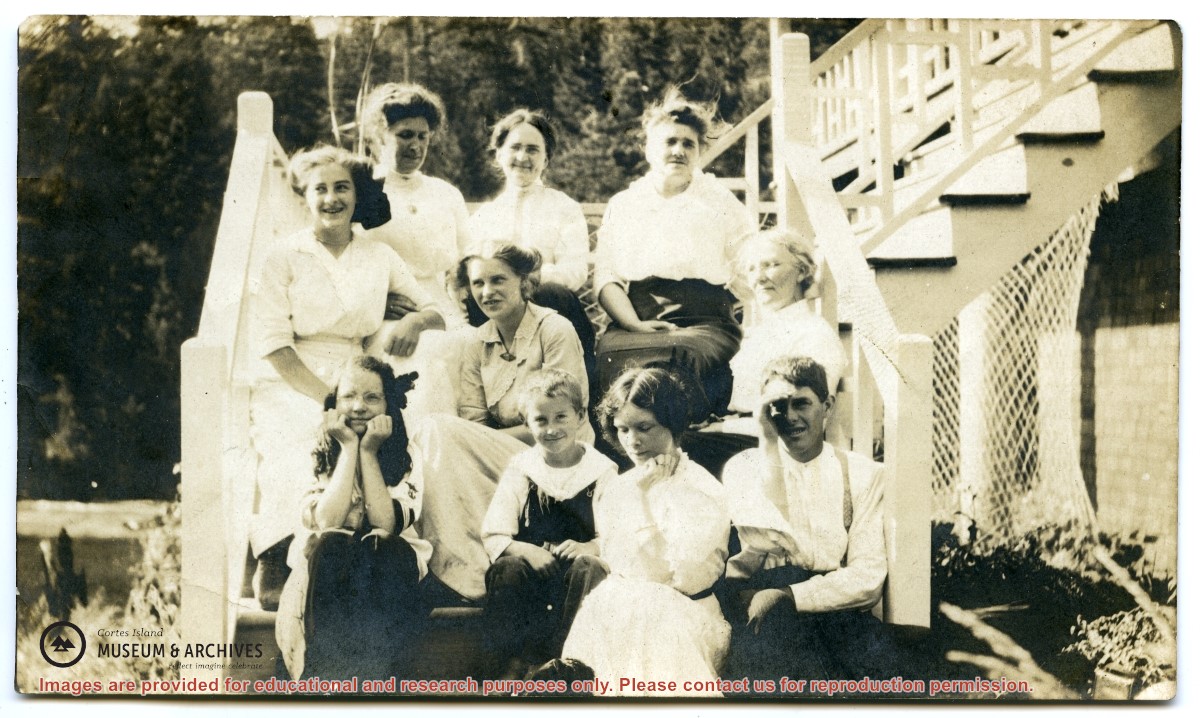
Back, L to R: Mrs. J. Nixon, Mrs. R. McLennan, Mrs. Margaret Manson
Middle, L to R: Rose Manson, Anna Manson, Mrs. H. Hague
Front, L to R: Mabel Lowe, Nicol Manson, Eleanor Hague, Jack Manson
Description taken from May Elllingsen Historic Photograph Album p. 75. Although identified on the back as "taken at John Manson's farm", this was taken at the Nixon home on Twin Island.