The base map is a zoning map produced by the Regional District of Comox-
Strathcona for the Cortes Island Land Use Project (Aug 1969). Edwards used
coloured pencil to show land and foreshore zones, and transferred information
about early preemptions and old roads and trails from an earlier map (see
Donald Palmer fonds, 2020.002.011, map of Cortes Island, Sayward District, ca.
1915).
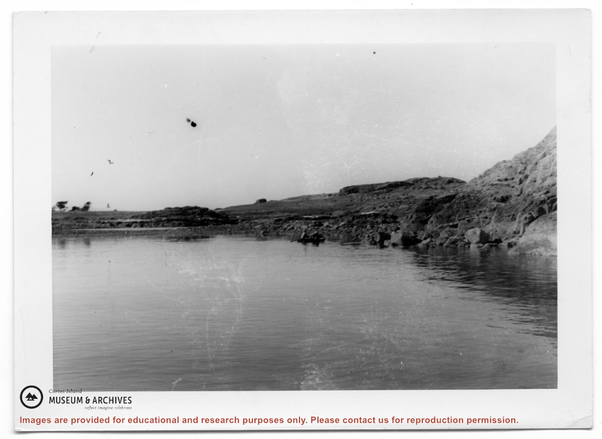
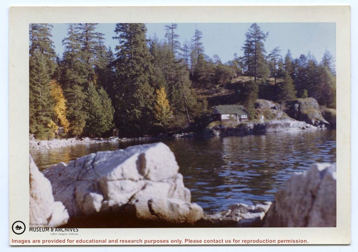
Photograph, taken from the water, of the cabin at Channel Rock, perched on its large rock with forest and bluffs behind it. Note the steps built into the rock leading down to the water just below the weather station.
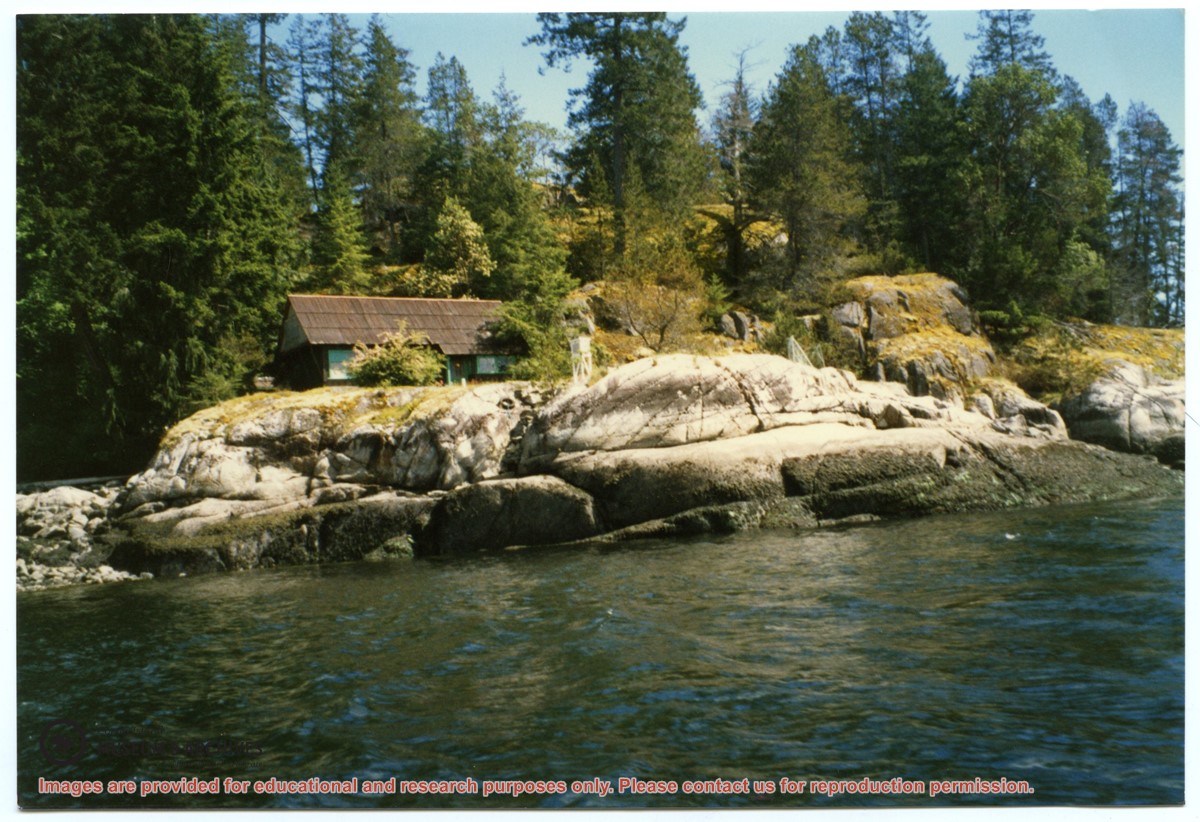
Photograph, taken from the water, of the cabin at Channel Rock, perched on its large rock with forest and bluffs behind it. Note the steps built into the rock leading down to the water just below the weather station.