File contains material relating to fare rate increases: background financial information, correspondence, coverage of a protest in Campbell River, interview notes, and a Issue 153 of the Discovery Islander (June 1998) with an article on ferry fares roll-back.
File contains material relating to fare rate increases: background financial information, correspondence, coverage of a protest in Campbell River, interview notes, and a Issue 153 of the Discovery Islander (June 1998) with an article on ferry fares roll-back.
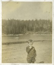
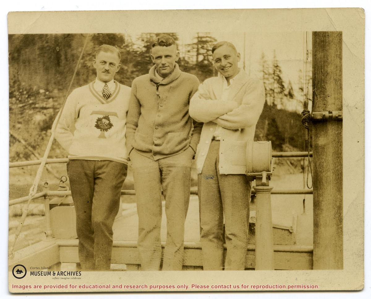
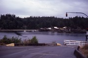
Photograph of Billy Tait standing on the dock in Whaletown. The channel marker and houses near the present-day ferry dock can be seen in the background.
Photograph of Billy Tait standing on the dock in Whaletown. The channel marker and houses near the present-day ferry dock can be seen in the background.
File contains two letters, written in pencil, to "Mother and Dad" by "Freddie" (surname unknown) on July 9, 1942 (7 pages) and July 13, 1942 (5 pages). Freddie was aboard the mission ship "John Antle", based in Whaletown with Canon Alan Greene, and writes of his experiences as part of the mission patrol. Places visited include Redonda Bay, Alert Bay, Rock Bay, Surge Narrows and Cortes Island settlements.
Donated by Bill Bartlett, of the Gerald Wellburn Philatelic Foundation, Victoria BC, in 2021. The letters were part of a stamp collection given to the Foundation. Bartlett recognized the connection to Cortes Island and mailed the letters to the Museum.
Scope and Content
File contains two letters, written in pencil, to "Mother and Dad" by "Freddie" (surname unknown) on July 9, 1942 (7 pages) and July 13, 1942 (5 pages). Freddie was aboard the mission ship "John Antle", based in Whaletown with Canon Alan Greene, and writes of his experiences as part of the mission patrol. Places visited include Redonda Bay, Alert Bay, Rock Bay, Surge Narrows and Cortes Island settlements.
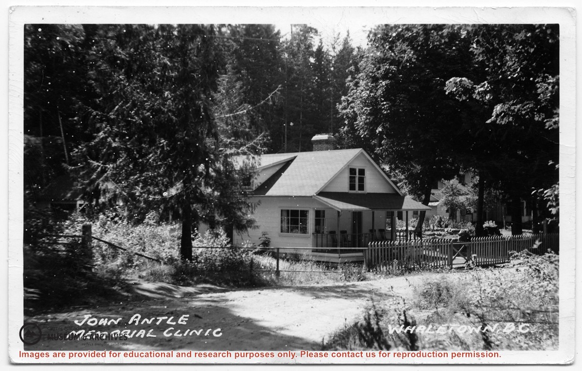
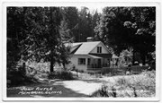
Photograph of the clinic building, with the Rectory beside it. Note the lack of telephone and electrical lines, which indicates the date is between 1950 and 1969.
Photograph of the clinic building, with the Rectory beside it. Note the lack of telephone and electrical lines, which indicates the date is between 1950 and 1969.
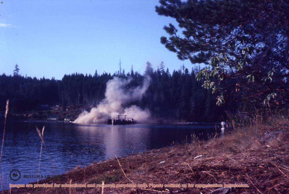
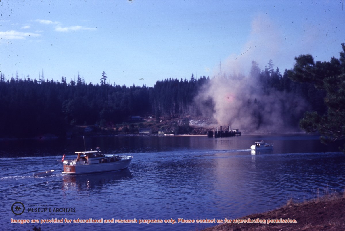
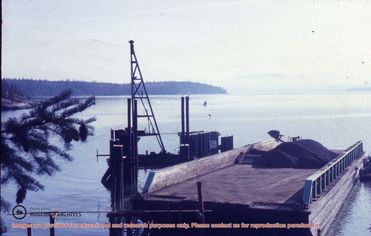
Series consists of a hand drawn map of Cortes Island showing places of interest to visitors, maps showing the location of hydro distribution lines on Cortes Island, maps related to zoning and rezoning on Cortes Island, the Official Settlement Plan, and a drawing showing an engineering plan for the Whaletown ferry terminal.
Series consists of a hand drawn map of Cortes Island showing places of interest to visitors, maps showing the location of hydro distribution lines on Cortes Island, maps related to zoning and rezoning on Cortes Island, the Official Settlement Plan, and a drawing showing an engineering plan for the Whaletown ferry terminal.