The base map is a zoning map produced by the Regional District of Comox-
Strathcona for the Cortes Island Land Use Project (Aug 1969). Edwards used
coloured pencil to show land and foreshore zones, and transferred information
about early preemptions and old roads and trails from an earlier map (see
Donald Palmer fonds, 2020.002.011, map of Cortes Island, Sayward District, ca.
1915).
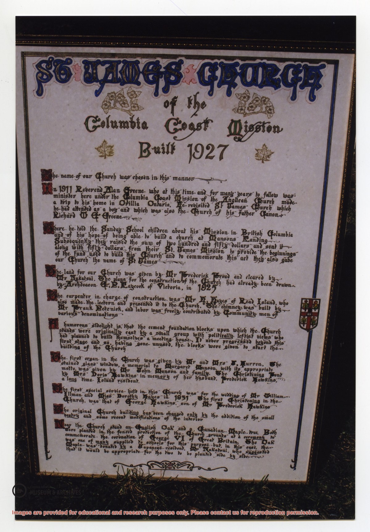
Photograph of a large, hand-lettered and framed poster which details the history of St. James Church, built in 1927. The vision behind the church, the names of community members who donated land and built the church, the first special services, and the planting of two special trees are mentioned. This plaque is now at CIMAS.
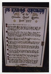
Photograph of a large, hand-lettered and framed poster which details the history of St. James Church, built in 1927. The vision behind the church, the names of community members who donated land and built the church, the first special services, and the planting of two special trees are mentioned. This plaque is now at CIMAS.