Coloured map of southwestern BC showing municipalities, geographical features, land and sea routes, natural resources, etc. The back of the map is fully printed with information about BC and suggested travel itineraries.
Map needs preservation: edges are frayed and there are several tears.
Coloured map of southwestern BC showing municipalities, geographical features, land and sea routes, natural resources, etc. The back of the map is fully printed with information about BC and suggested travel itineraries.
Map needs preservation: edges are frayed and there are several tears.
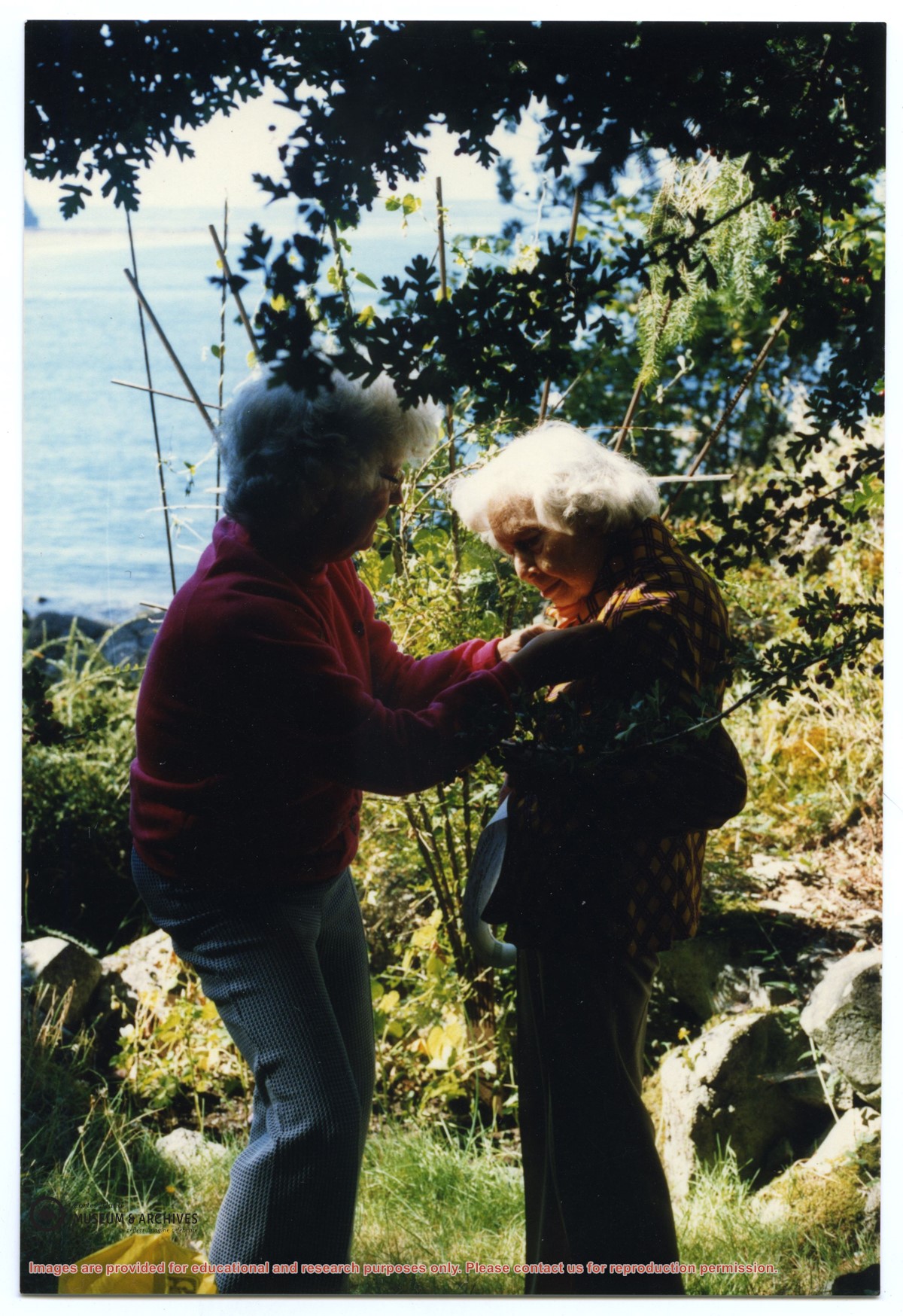
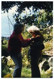
Photograph of Lorena Teames (L) presenting Gilean Douglas with her pin at the meeting of the Cortes Island Women's Institute at Channel Rock, where Gilean Douglas was presented with a Life Membership in the Women's Institute.
Photograph of Lorena Teames (L) presenting Gilean Douglas with her pin at the meeting of the Cortes Island Women's Institute at Channel Rock, where Gilean Douglas was presented with a Life Membership in the Women's Institute.
Map of the British Empire, drawn by Eric Dinickel for publication in the June, 1953 issue of Maclean’s (the month of the coronation of Queen Elizabeth II). Printed in full colour.
Map of the British Empire, drawn by Eric Dinickel for publication in the June, 1953 issue of Maclean’s (the month of the coronation of Queen Elizabeth II). Printed in full colour.