File contains correspondence (including copies of emails and faxes), maps, an Argosy Sea Farms management plan, APC minutes, Director's reports, print-outs of articles from Tideline (www.cortesisland.com), two Discovery Islander magazines (#370 and #371), one Cortes Community flyer and one Cove Notes flyer.
File contains correspondence (including copies of emails and faxes), maps, an Argosy Sea Farms management plan, APC minutes, Director's reports, print-outs of articles from Tideline (www.cortesisland.com), two Discovery Islander magazines (#370 and #371), one Cortes Community flyer and one Cove Notes flyer.
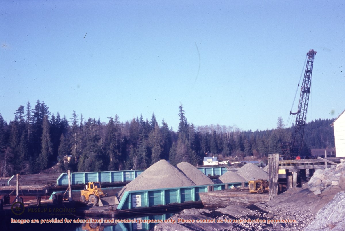
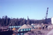
Slide depicts a barge loaded with gravel, a loader and a pile driver next to the Whaletown wharf. The Thompson house across the bay is in the background.
Slide depicts a barge loaded with gravel, a loader and a pile driver next to the Whaletown wharf. The Thompson house across the bay is in the background.
File contains right-of-way licenses for Cortes Island beach accesses at Hayes Rd, Seascape Rd, Gnat Rd and Moon Rd; applications for the ROW by the CSRD; cost estimates and construction guidelines; and correspondence.
File contains right-of-way licenses for Cortes Island beach accesses at Hayes Rd, Seascape Rd, Gnat Rd and Moon Rd; applications for the ROW by the CSRD; cost estimates and construction guidelines; and correspondence.
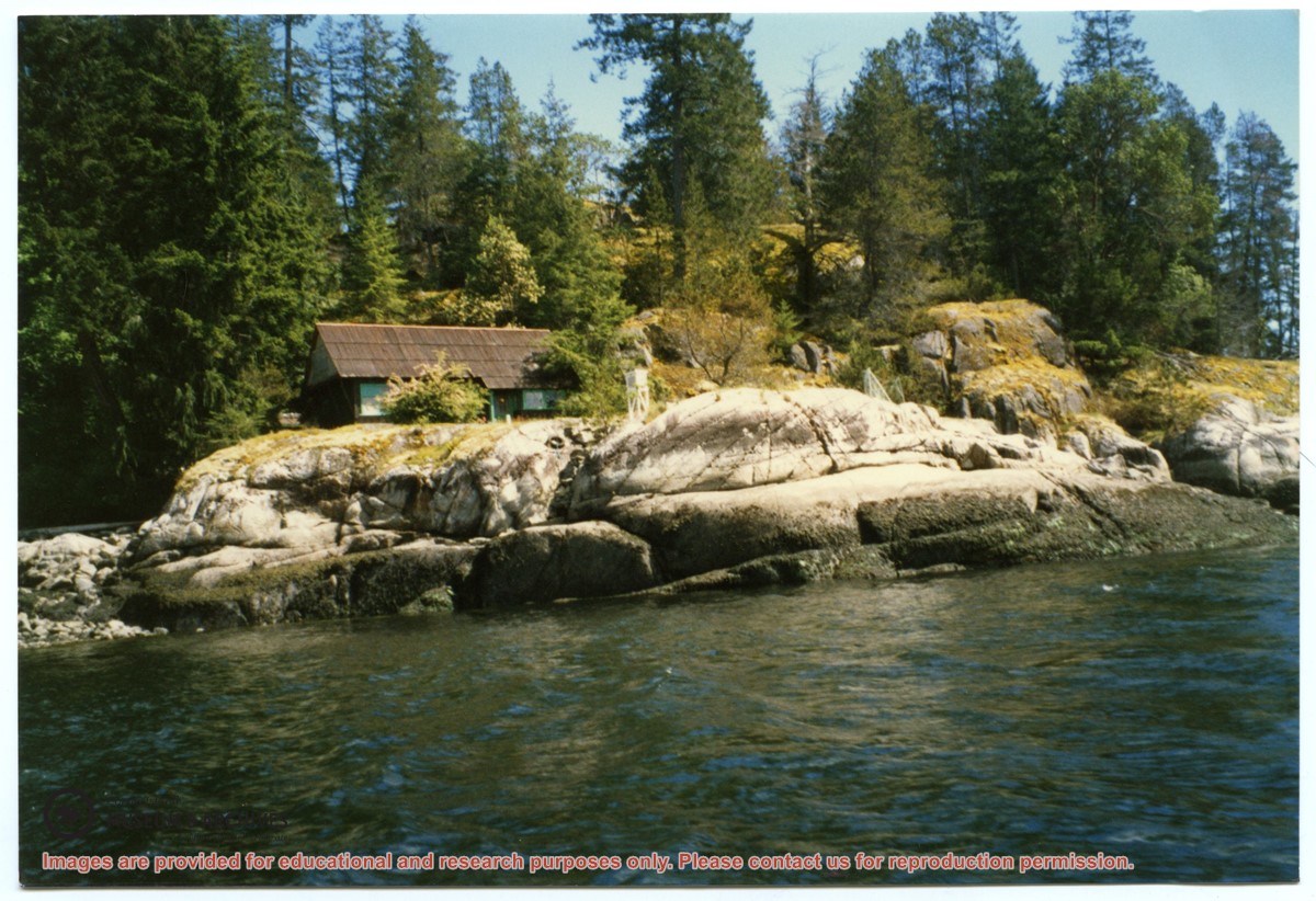
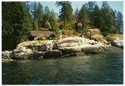
Photograph, taken from the water, of the cabin at Channel Rock, perched on its large rock with forest and bluffs behind it. Note the steps built into the rock leading down to the water just below the weather station.
Photograph, taken from the water, of the cabin at Channel Rock, perched on its large rock with forest and bluffs behind it. Note the steps built into the rock leading down to the water just below the weather station.