Photograph postcard of the Whaletown Church. Originally from the collection of Gilean Douglas.
Note - There is a digital enlargement of this postcard in the oversize box. This same postcard is found in other fonds (Items 2003.002.024 and 2019.023.013).
Photograph postcard of the Whaletown Church. Originally from the collection of Gilean Douglas.
Note - There is a digital enlargement of this postcard in the oversize box. This same postcard is found in other fonds (Items 2003.002.024 and 2019.023.013).
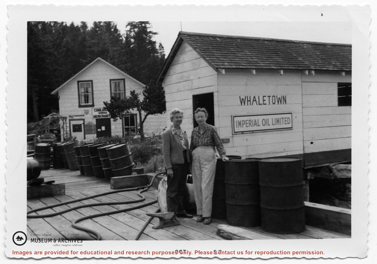
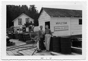
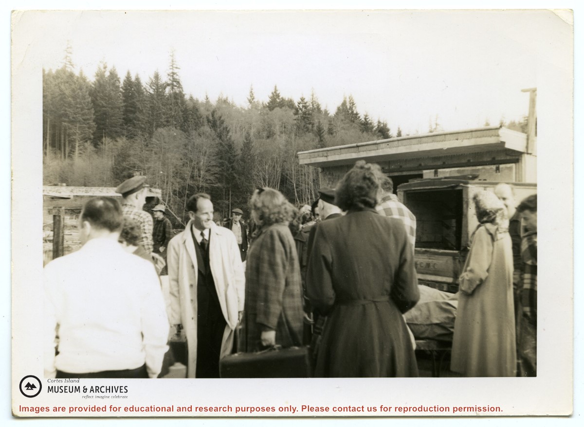
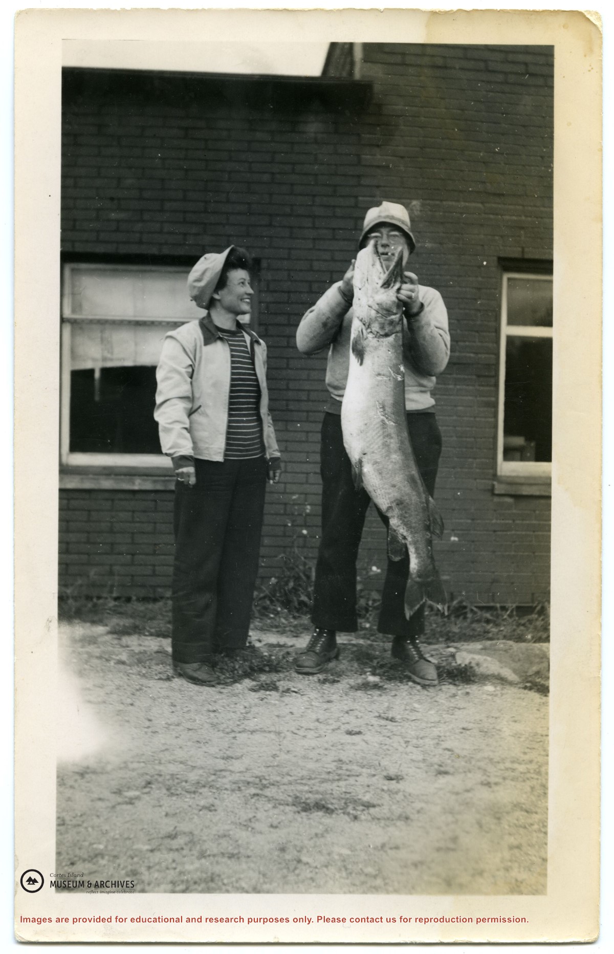
Photograph of a group of people in front of the freight shed on the Whaletown wharf. A sticker on the back indicates the photograph was originally from the collection of Gilean Douglas.
Photograph of a group of people in front of the freight shed on the Whaletown wharf. A sticker on the back indicates the photograph was originally from the collection of Gilean Douglas.
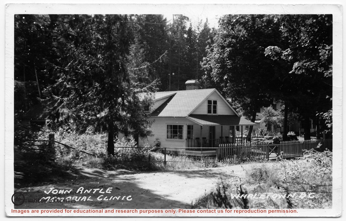
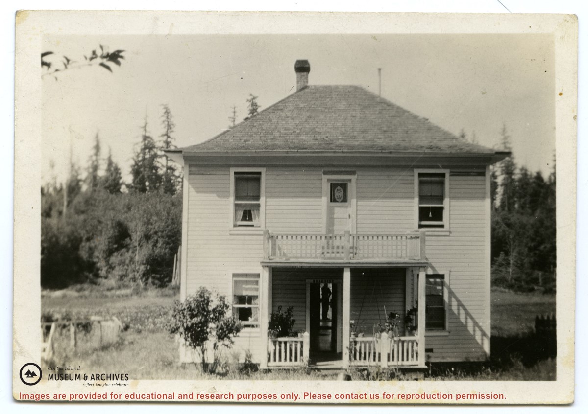
Photograph of the clinic building, with the Rectory beside it. Note the lack of telephone and electrical lines, which indicates the date is between 1950 and 1969.
Photograph of the clinic building, with the Rectory beside it. Note the lack of telephone and electrical lines, which indicates the date is between 1950 and 1969.
Series contains information on historic Crown Grants and subsequent title changes compiled by Doreen Thompson during her research for the CIMAS Windows on Whaletown exhibit in 1999. The area covered includes the northern part of Cortes Island, from just south of Gorge Harbour. Material includes maps, photocopies of original Crown Grants and other title documents, lists of subdivisions, and notes on changes of title.
Records were organized by Section or Plan number in large envelopes with a cover map and notes about the properties researched on the envelope back. They trace the ownership of parcels of land from the first grant or purchase from the Crown to 1999. Original order has been maintained.
File contains photocopies of original Crown Grants, subsequent title changes and maps for:
To Joseph Gregson: 1926, Crown Grant for fractional W 1/2 of Lot 899 and Lot 901 (between Coulter and Carrington Bays), with a water easement for Wailes
To John Nugent McIllree: 1957, Crown Grant of mineral rights to lots at Coulter Bay surveyed as the "Arrow" and "Bullseye" mineral claims
To Hilda Peterson: 1919, Crown Grant for Lot 878, Carrington Bay, 55 acres
(Files 12 through 16 are from the same envelope.)


.jpg?width=1200&404=no-img.jpg&watermark=wmk)
.jpg?width=1200&404=no-img.jpg&watermark=wmk)
.jpg?width=180&404=no-img.jpg)