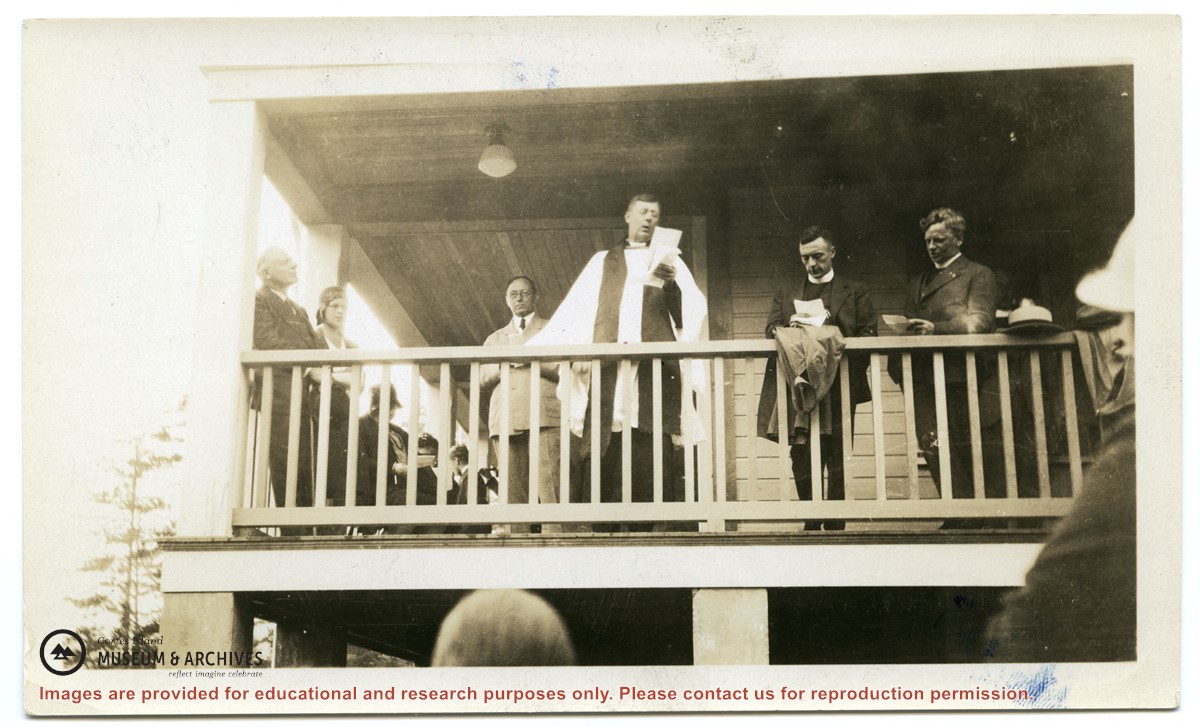
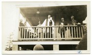
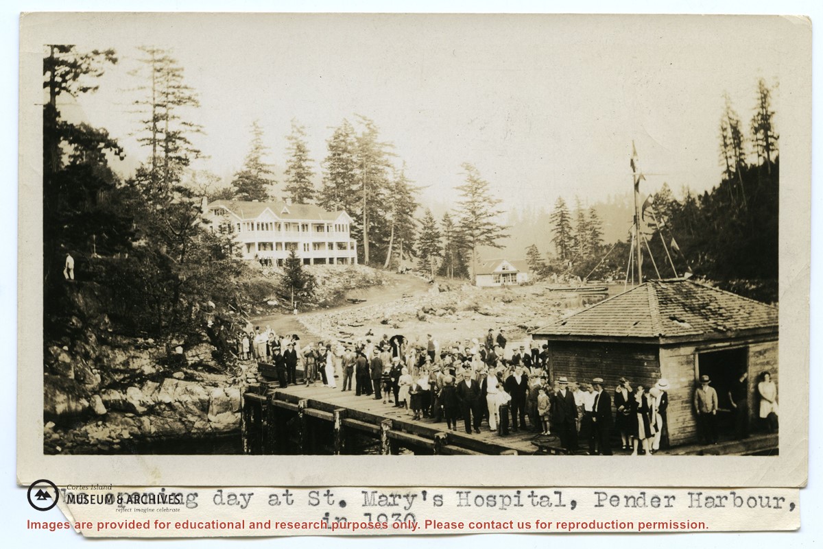
Photograph of the opening of St. Mary's Hospital. Standing on the verandah are Bishop Heathcote, giving the opening address; behind and to his right is Rev. Dr. John Antle.
Photograph of the opening of St. Mary's Hospital. Standing on the verandah are Bishop Heathcote, giving the opening address; behind and to his right is Rev. Dr. John Antle.
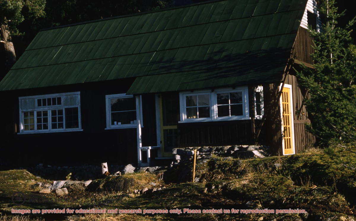
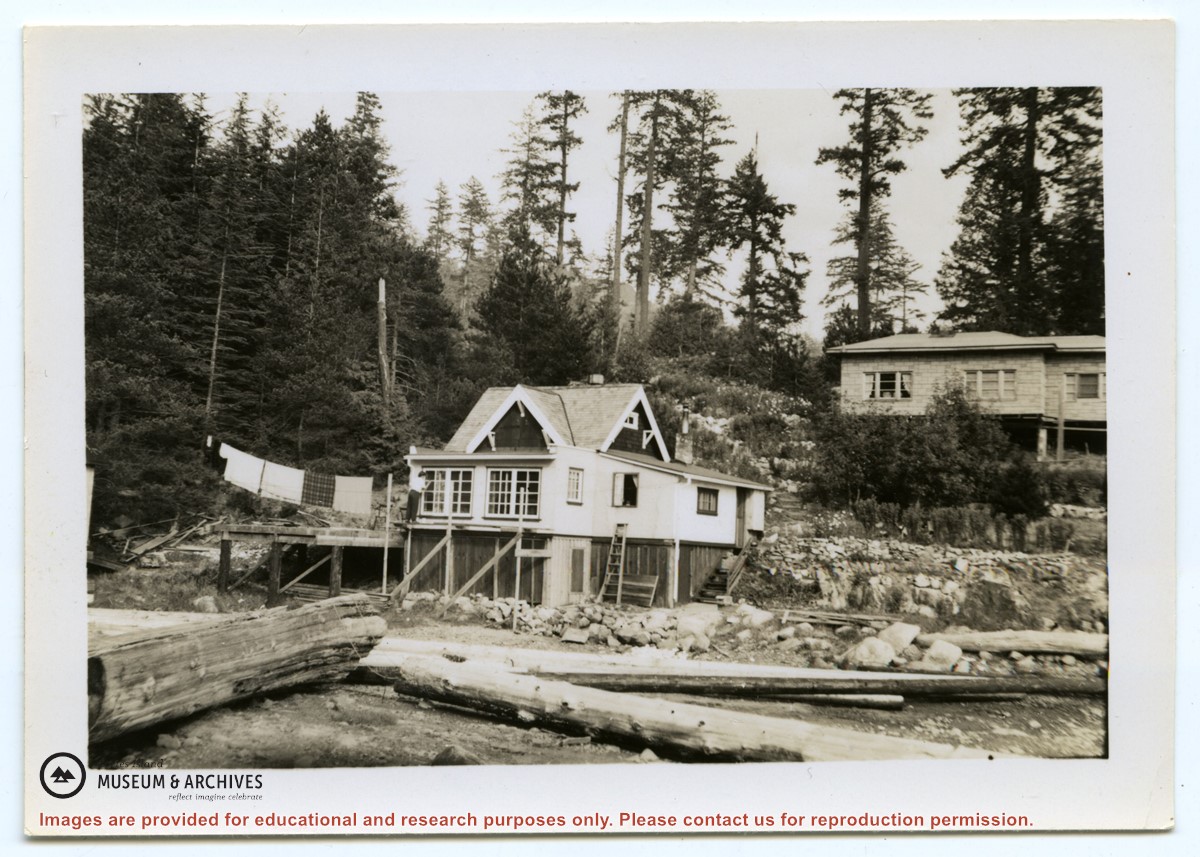
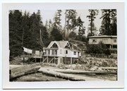
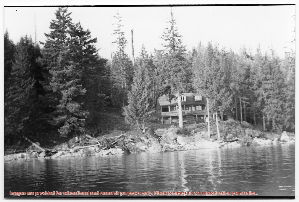
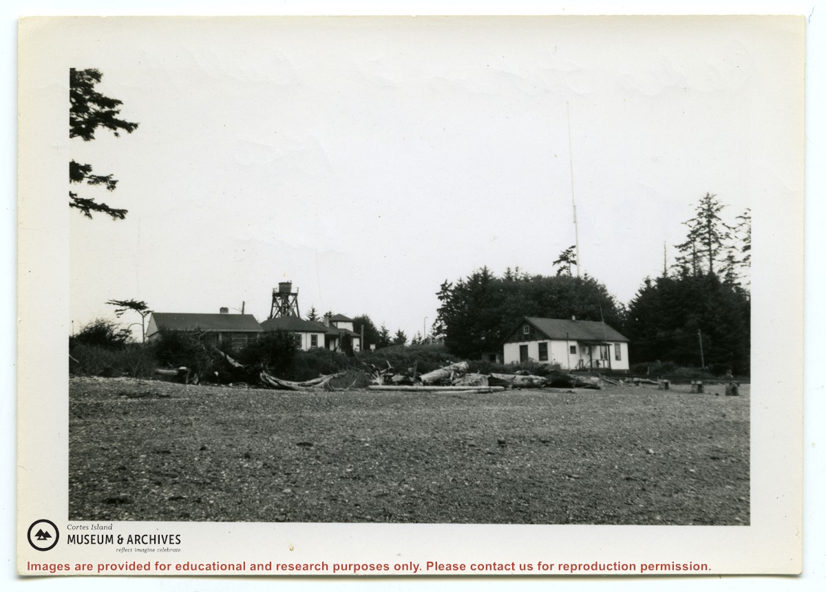
Photograph of two houses. George and Marjorie Griffin's house is in front; pilings for an addition can be seen on the right. Marjorie Griffin is painting the window frames. The house was completed in about 1955/1956 and demolished ca. 2012. To its right and slightly above it is a cottage built by Griffin for his son George and wife Joyce.
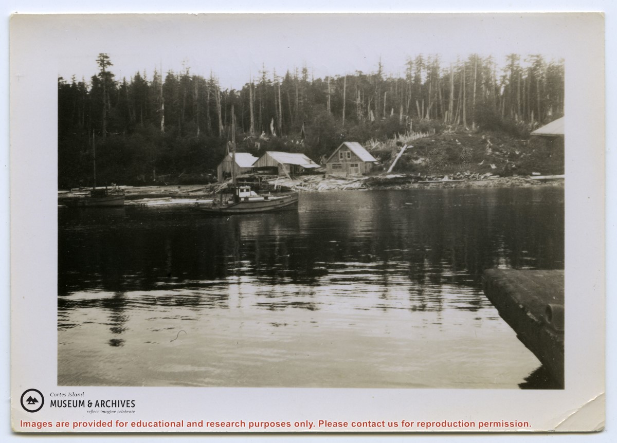
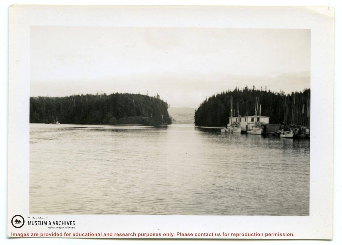
2 photograph prints: b&w;16.5 x 11.5 cm (A) and 9 x 6.5 cm (B)
Scope and Content
Photograph of two houses. George and Marjorie Griffin's house is in front; pilings for an addition can be seen on the right. Marjorie Griffin is painting the window frames. The house was completed in about 1955/1956 and demolished ca. 2012. To its right and slightly above it is a cottage built by Griffin for his son George and wife Joyce.
Series contains information on historic Crown Grants and subsequent title changes compiled by Doreen Thompson during her research for the CIMAS Windows on Whaletown exhibit in 1999. The area covered includes the northern part of Cortes Island, from just south of Gorge Harbour. Material includes maps, photocopies of original Crown Grants and other title documents, lists of subdivisions, and notes on changes of title.
Records were organized by Section or Plan number in large envelopes with a cover map and notes about the properties researched on the envelope back. They trace the ownership of parcels of land from the first grant or purchase from the Crown to 1999. Original order has been maintained.
File contains photocopies of original Crown Grants, subsequent title changes and maps for:
To Joseph Gregson: 1926, Crown Grant for fractional W 1/2 of Lot 899 and Lot 901 (between Coulter and Carrington Bays), with a water easement for Wailes
To John Nugent McIllree: 1957, Crown Grant of mineral rights to lots at Coulter Bay surveyed as the "Arrow" and "Bullseye" mineral claims
To Hilda Peterson: 1919, Crown Grant for Lot 878, Carrington Bay, 55 acres
(Files 12 through 16 are from the same envelope.)