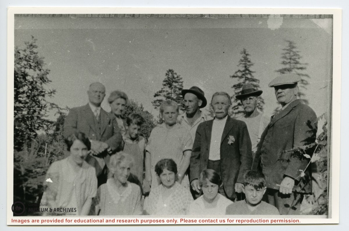
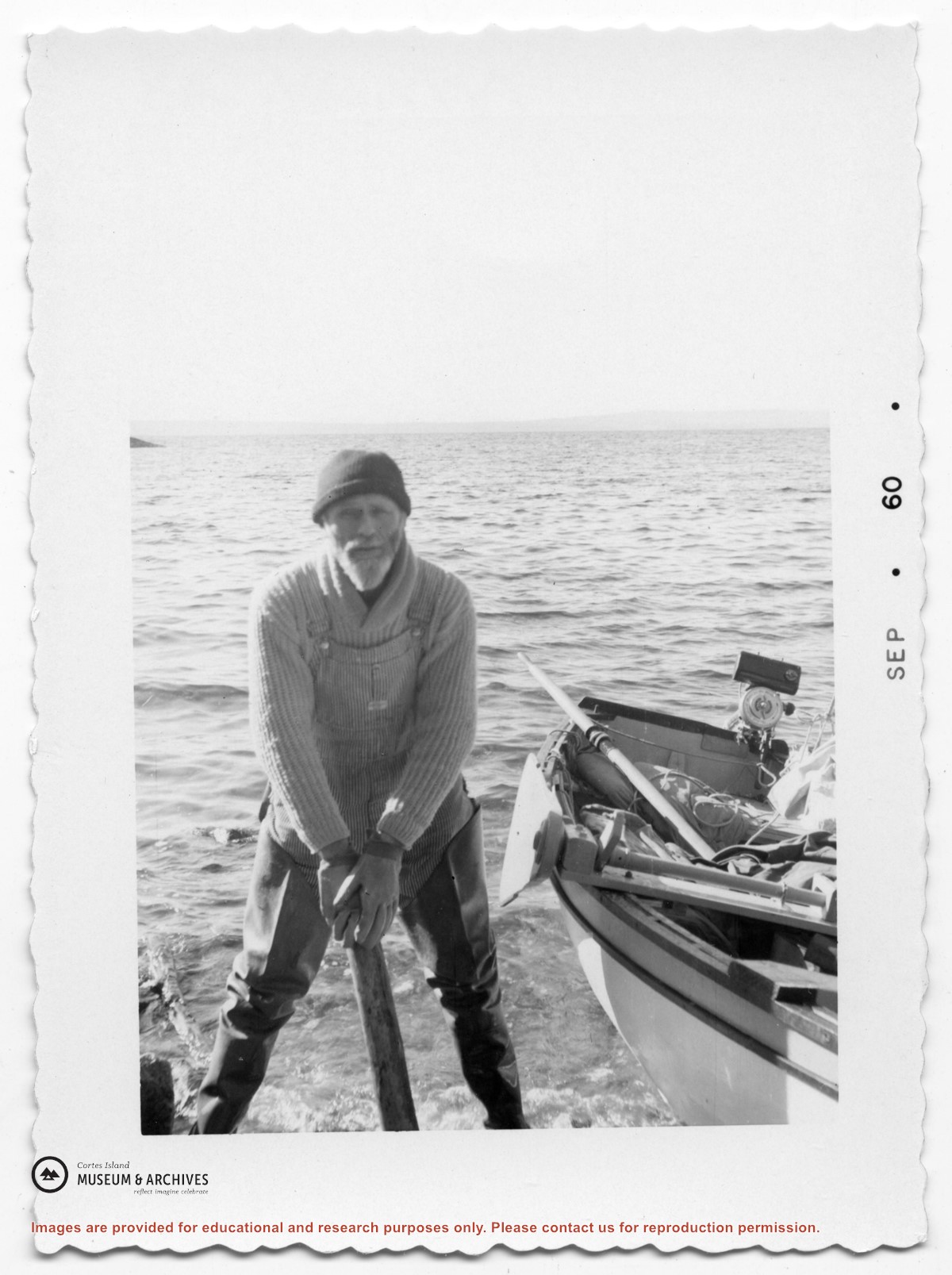
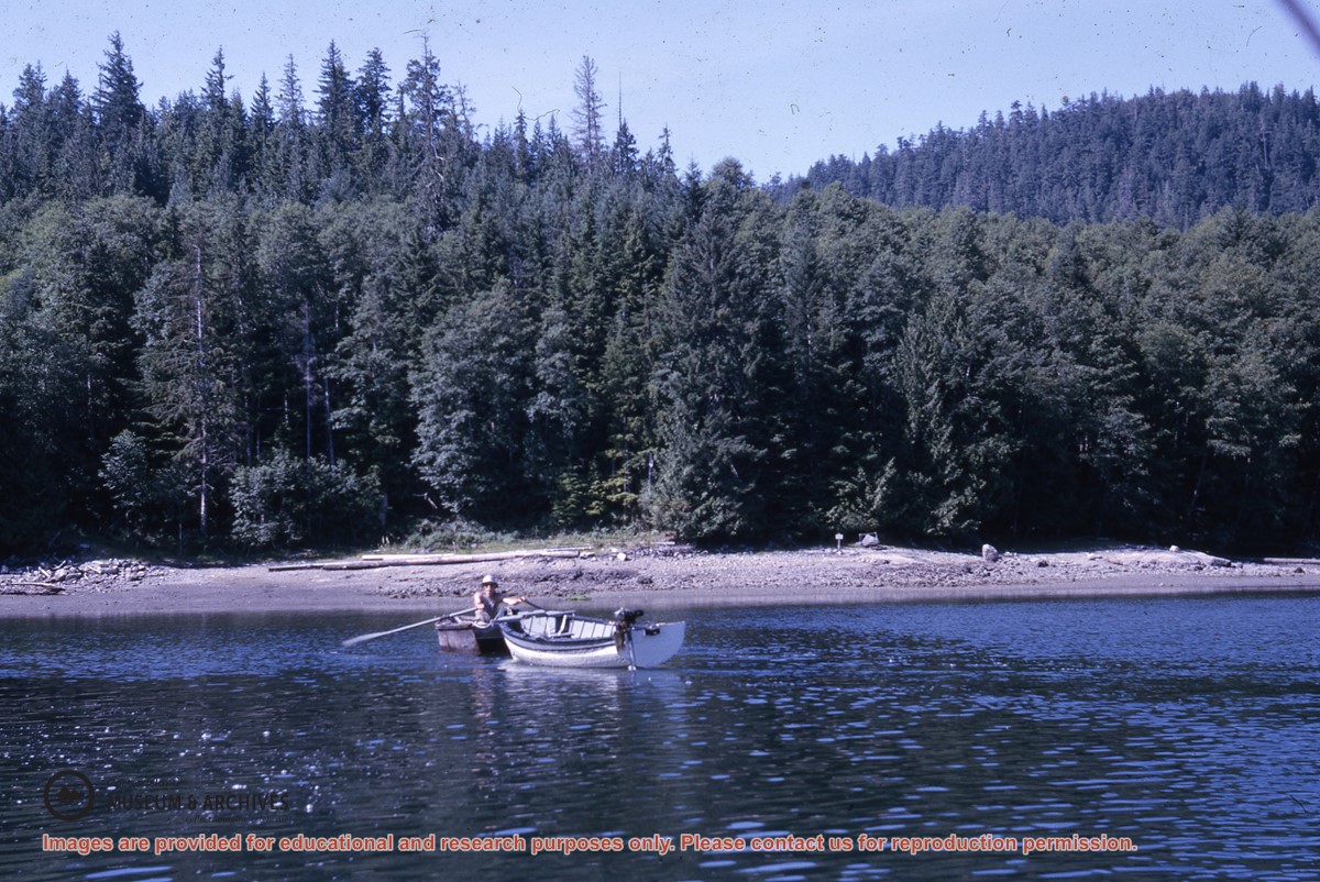
Adam and Martha Thompson, Hazel Herrewig, Wilfred Freeman, Mrs. Niven, Mrs. Neen (Adam Thompson's sister), Margaret (sister of Jane) Manson, Wilfred Manson, Mike Manson, Jean Manson, John Manson, John Renwick, Mike Herrewig
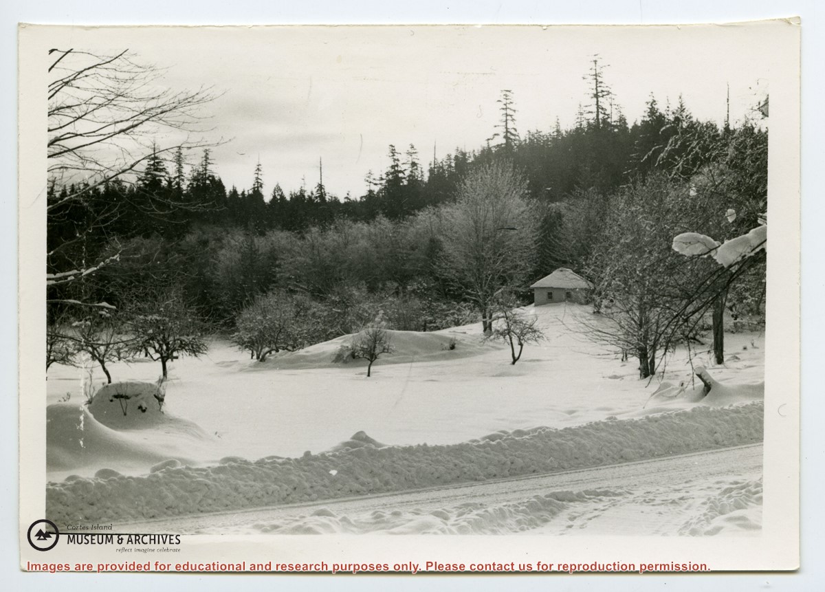
Photograph of the Anderson home and orchard in the winter, covered with snow. The plowed road is in the foreground. Photograph is from an envelope labelled "Pictures of Anderson farm, Cortez Island".
Photograph of the Anderson home and orchard in the winter, covered with snow. The plowed road is in the foreground. Photograph is from an envelope labelled "Pictures of Anderson farm, Cortez Island".
The base map is a zoning map produced by the Regional District of Comox-
Strathcona for the Cortes Island Land Use Project (Aug 1969). Edwards used
coloured pencil to show land and foreshore zones, and transferred information
about early preemptions and old roads and trails from an earlier map (see
Donald Palmer fonds, 2020.002.011, map of Cortes Island, Sayward District, ca.
1915).